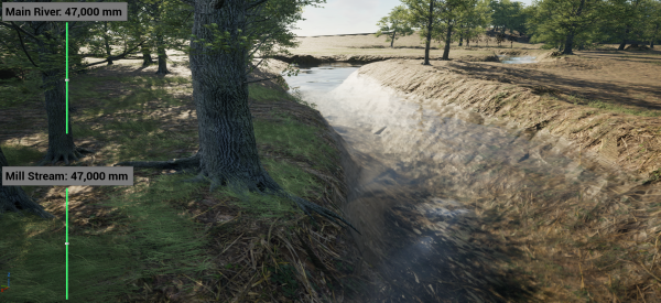
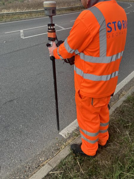
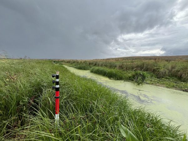
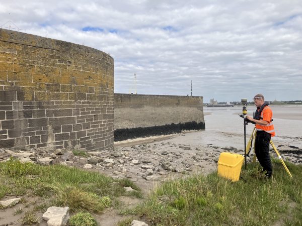
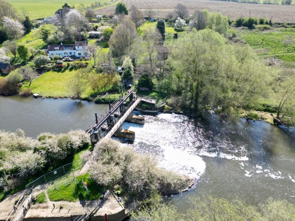
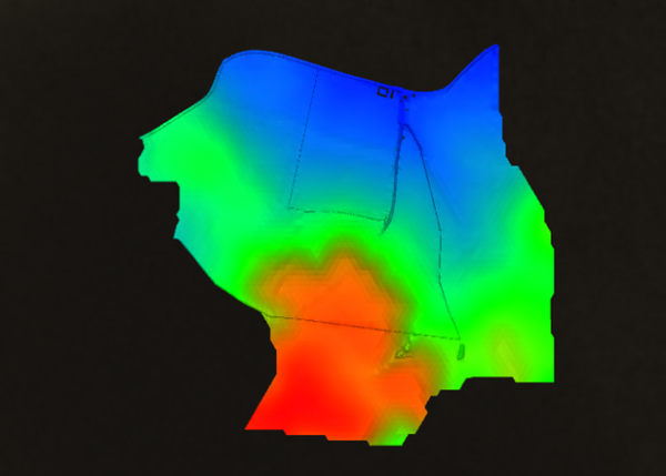
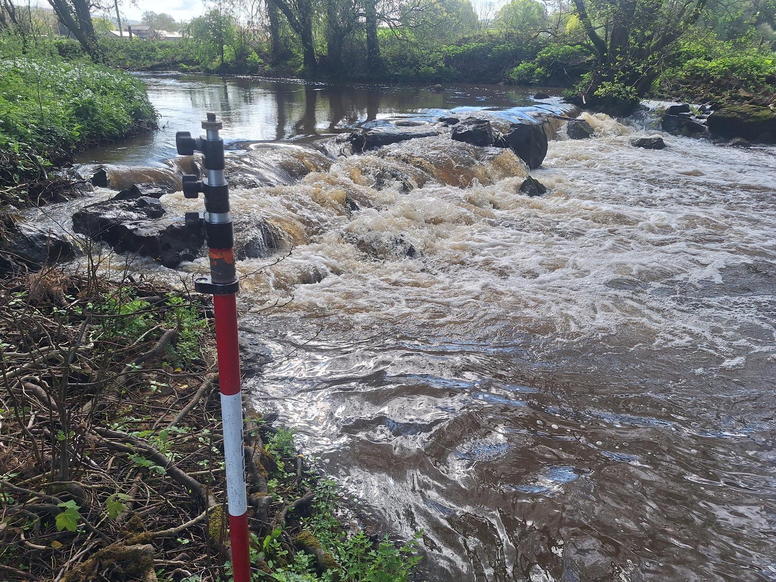
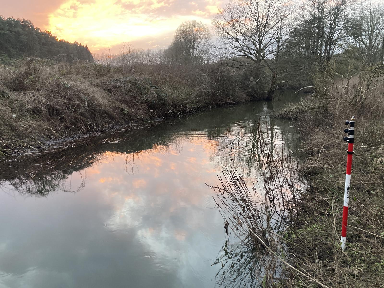
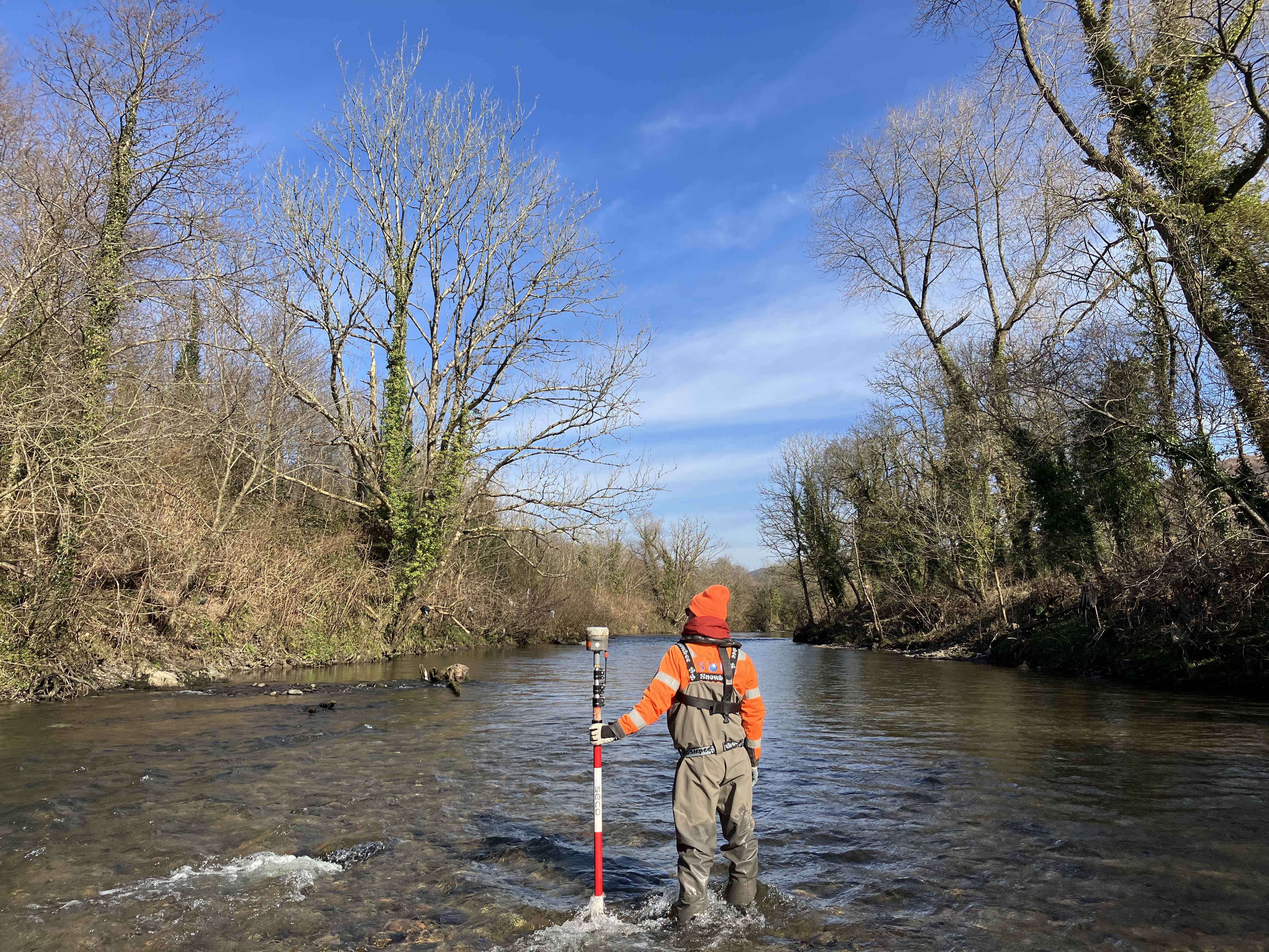
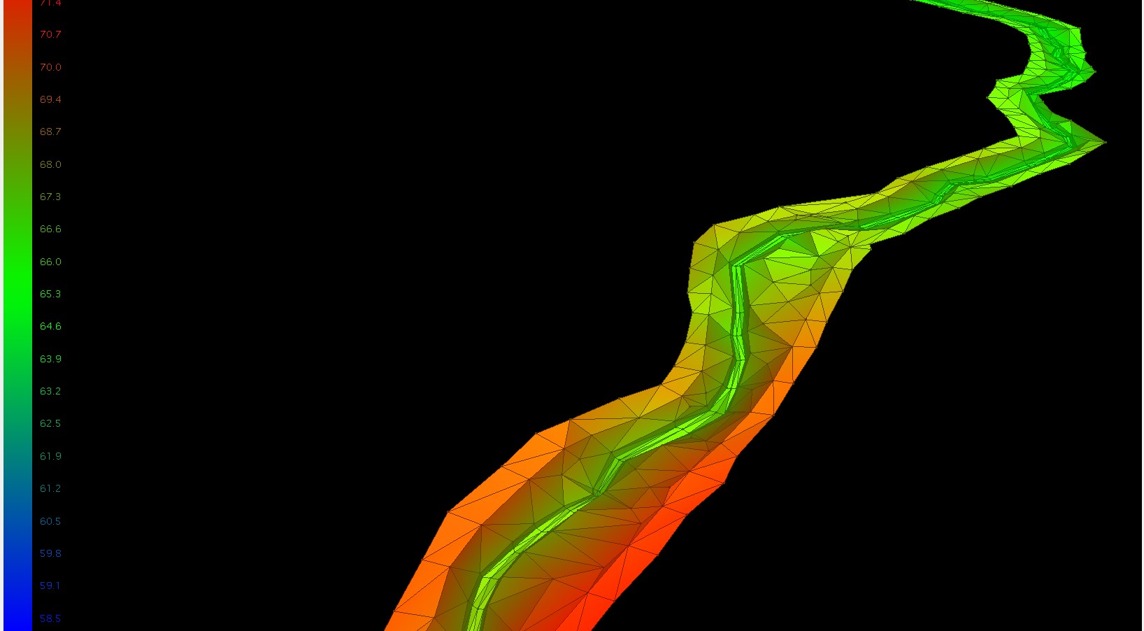
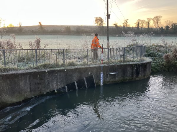
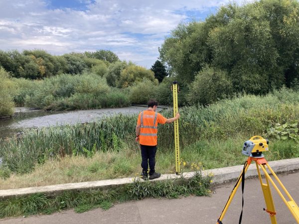
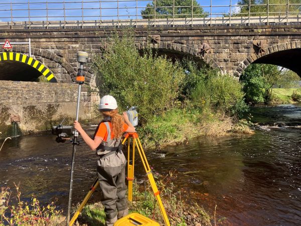
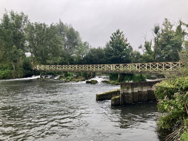
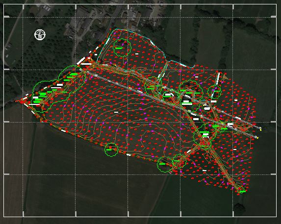
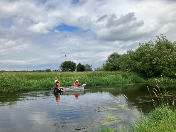
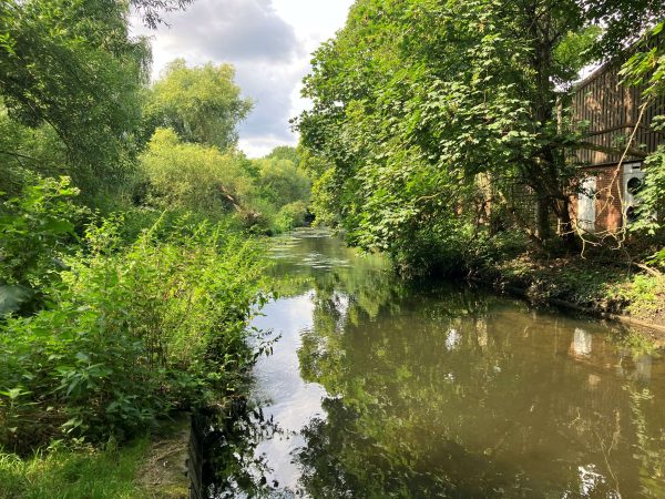
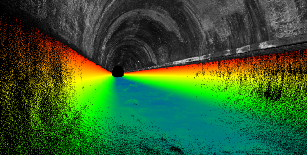
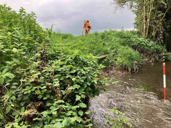
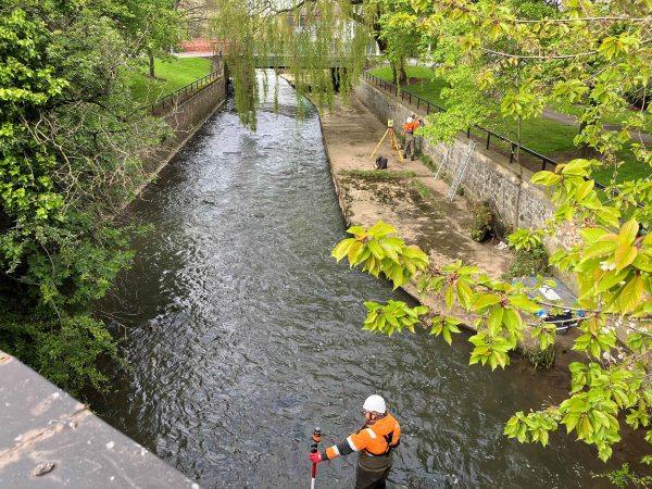
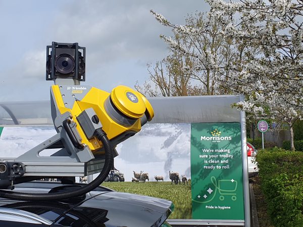
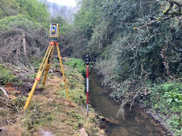
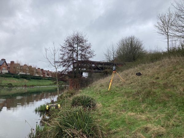
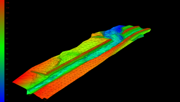
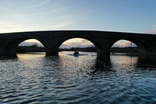
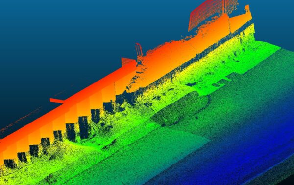
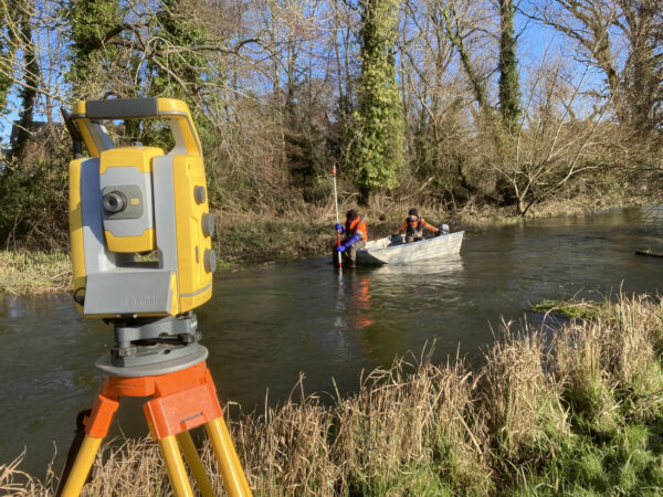
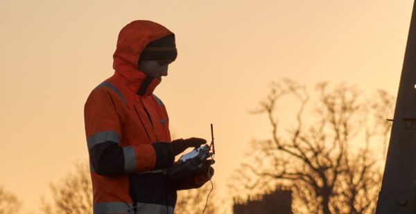
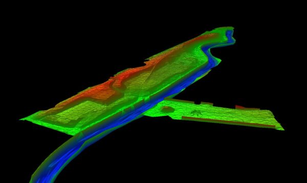
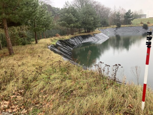
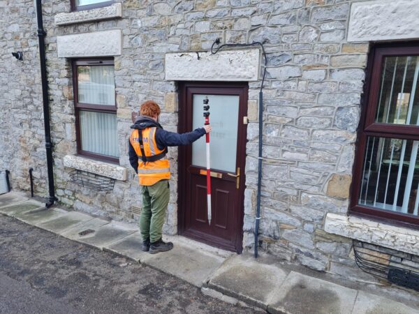
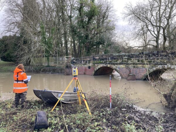
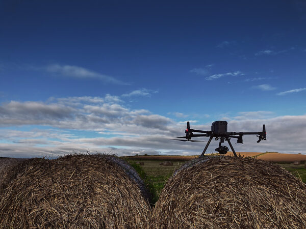
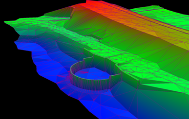
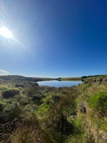
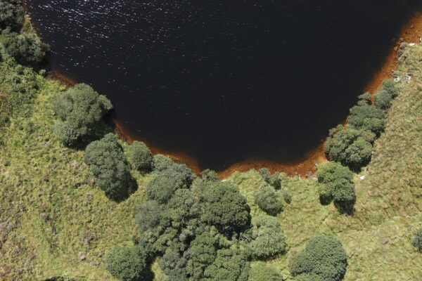
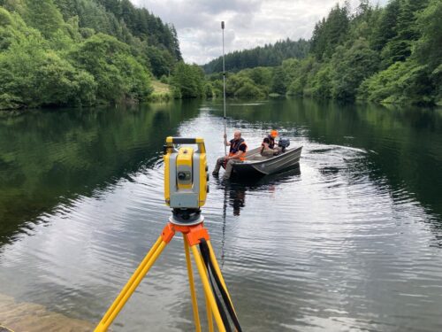
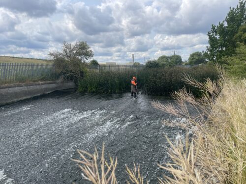
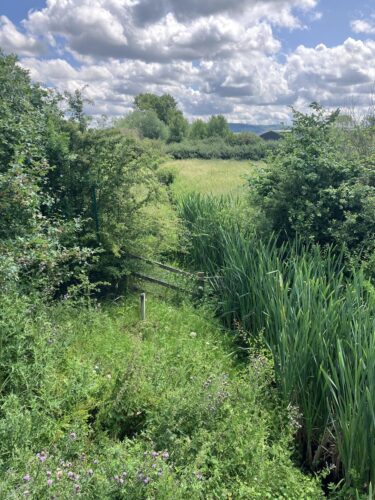
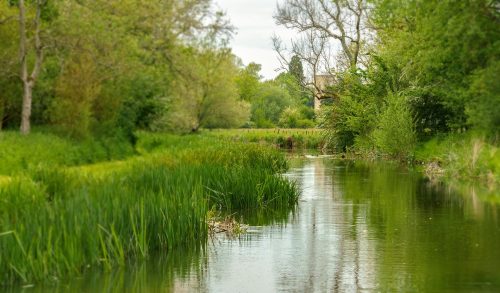
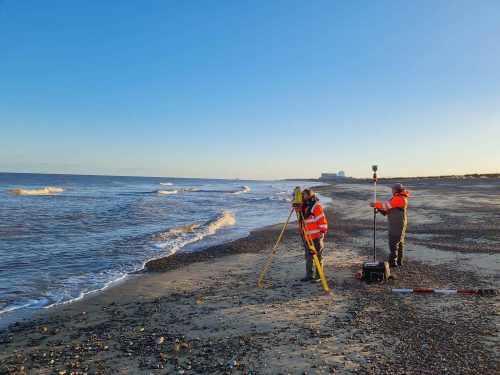
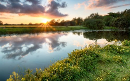
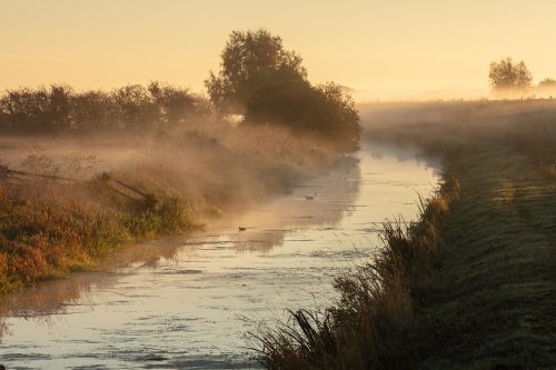
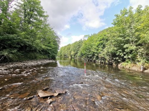
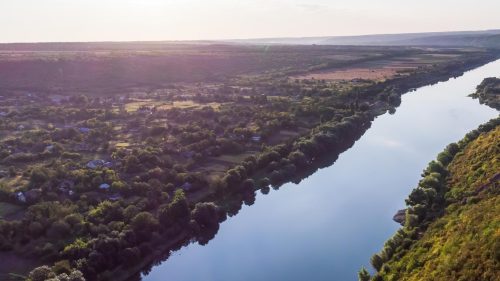
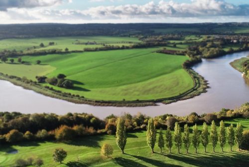
Discover how Storm Geomatics created a River Digital Twin® for Halford Flood Meadow to enhance flood resilience, enable real-time monitoring, and support habitat restoration through advanced UAV LiDAR, riverbed surveys, and interactive visualisation technology.