River Digital Twin®
Creating components for river catchment digital twins that improve design, management and forecasting for flood alleviation and habitat management projects.
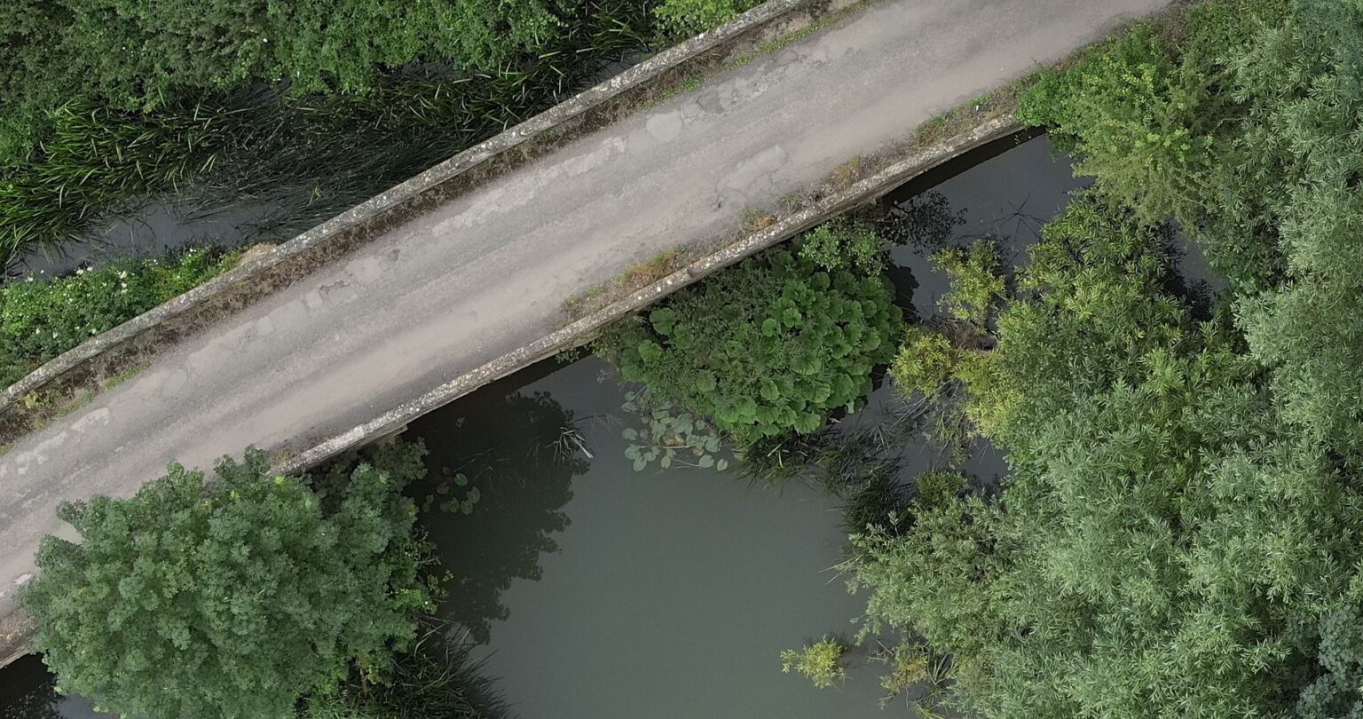
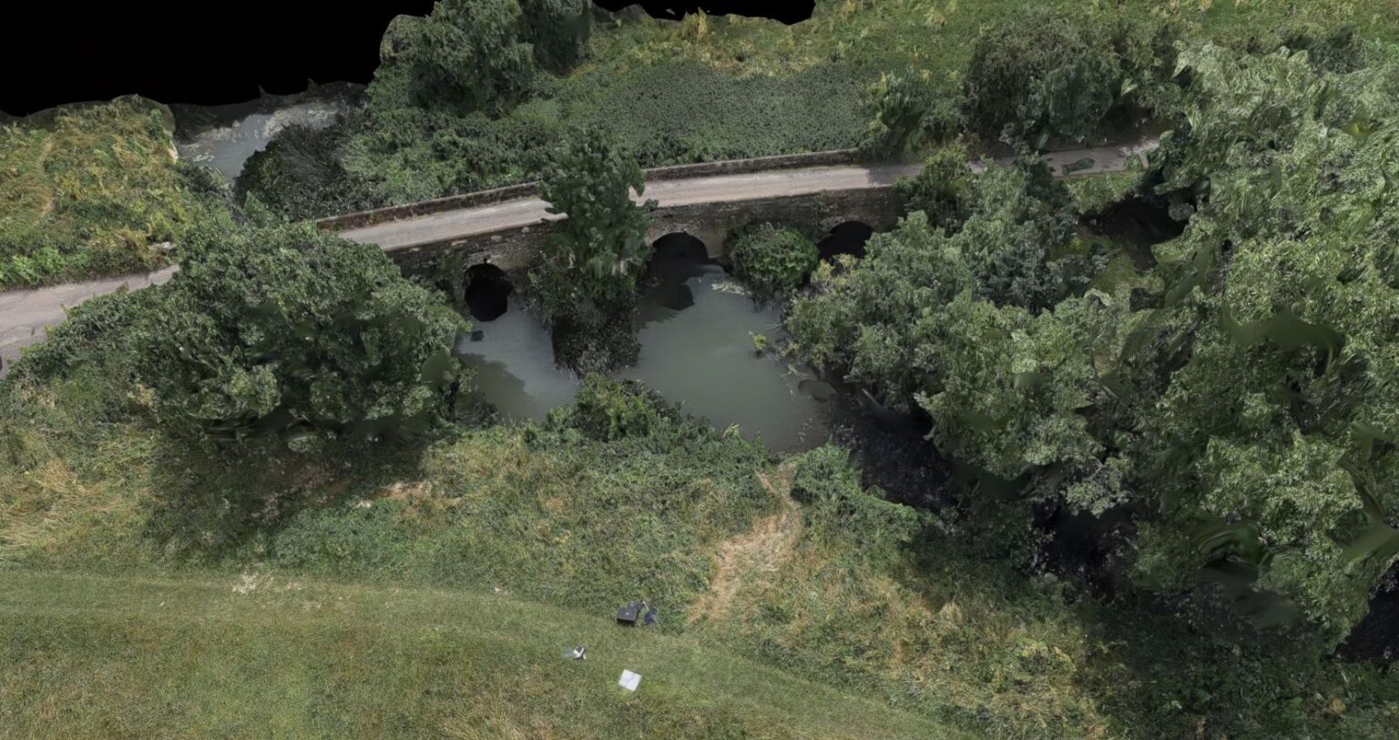
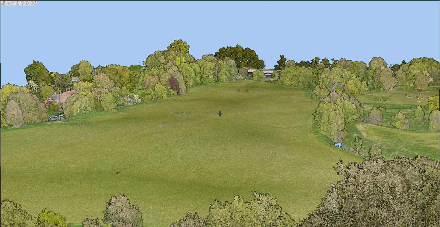
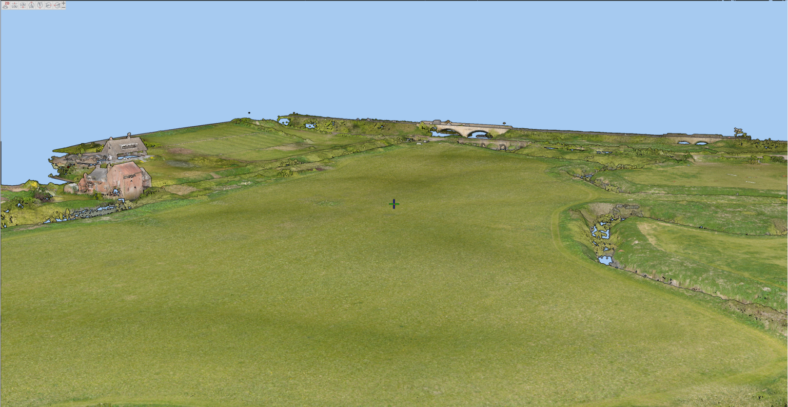
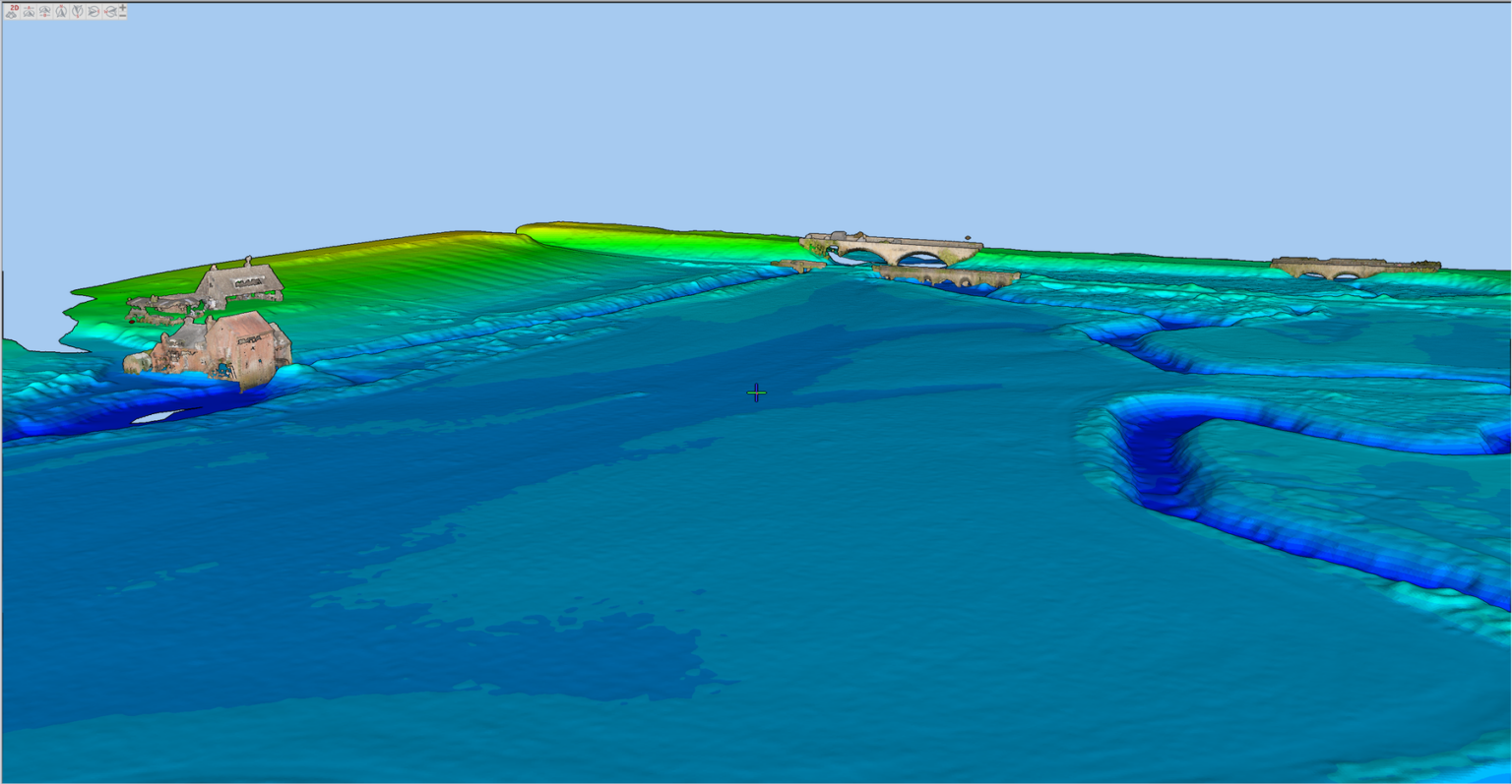
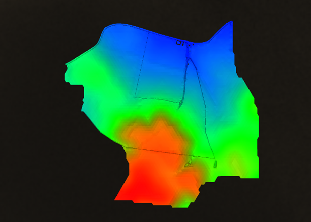
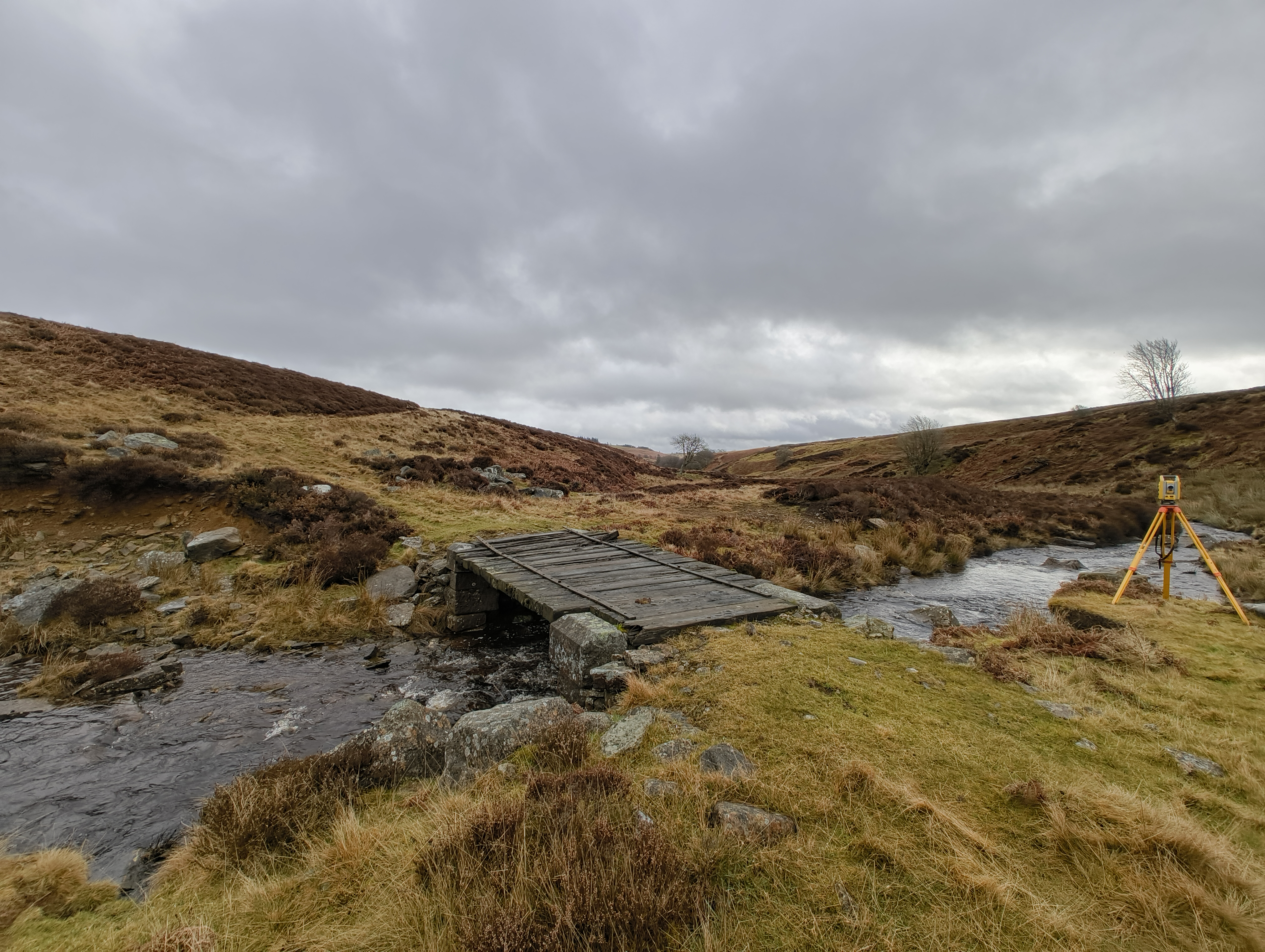
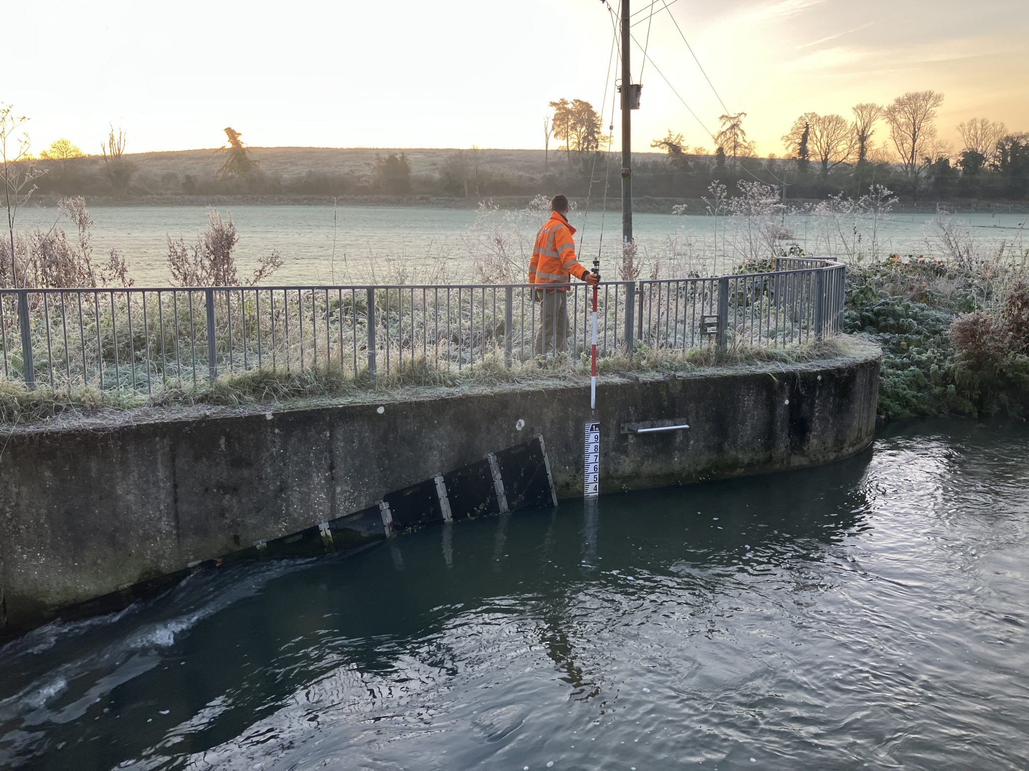
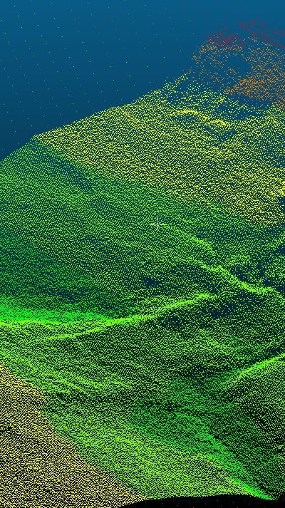
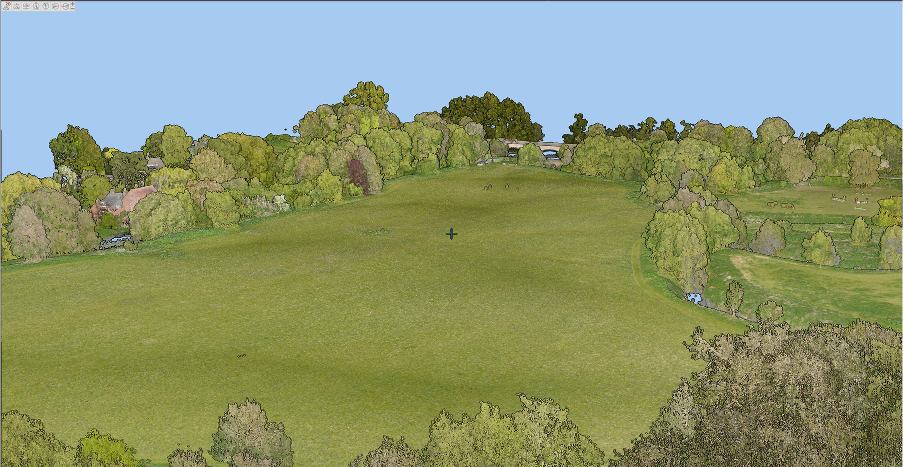
Our surveyors bring together data from different sensors to provide detailed geospatial and environmental data which is used to inform flood and environmental projects. Having a river digital twin enables land managers, engineers and ecologists to be better informed on the full ecosystem, river and floodplain geometry and therefore make more balanced decisions when proposing interventions that influence the hydrology and ecology of the river corridor. Our surveyors measure detail above and below the water surface to provide full information in colourised point clouds, photogrammetry, hi-resolution orthomosaic images and digital terrain models (DTMs).
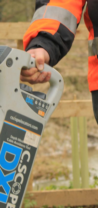
River Digital twins are typically used for feature extraction on multidisciplinary projects where the extracted data is exported to third party software for flood forecasting and habitat creation. The river digital twin becomes an invaluable engagement tool between designers, managers and stakeholders of the site, who use it to plan projects, analyse vegetation types and heights, extract river channel geometry, extract topographic survey geometry, record soil and water sample data, record temporal 2d orthomosaic images in layers, design habitats, map underground services, add weather data and much more. This can be achieved using a multitude of surveying sensors from both the ground and the air such as Drone Surveys and RPAS Surveys.
Digital twins can be shared on a number of different platforms from cloud databases to GIS software. Having the digital twin ensures that you always have the right level of survey data and visual references of your asset, it also enables you to merge georeferenced temporal data to help understand trends and changes.
Find Out More
Do you have a River Digital Twin® project we can help with?
Call 01608 664910 or
Recent News
Data to Decisions – Storm’s May Update
Dry Spring, Fresh Momentum – April Survey Highlights


