RPAS Team Return to River Test
The Background
- Date
- January 2024
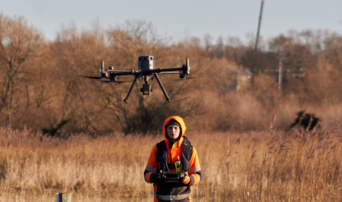
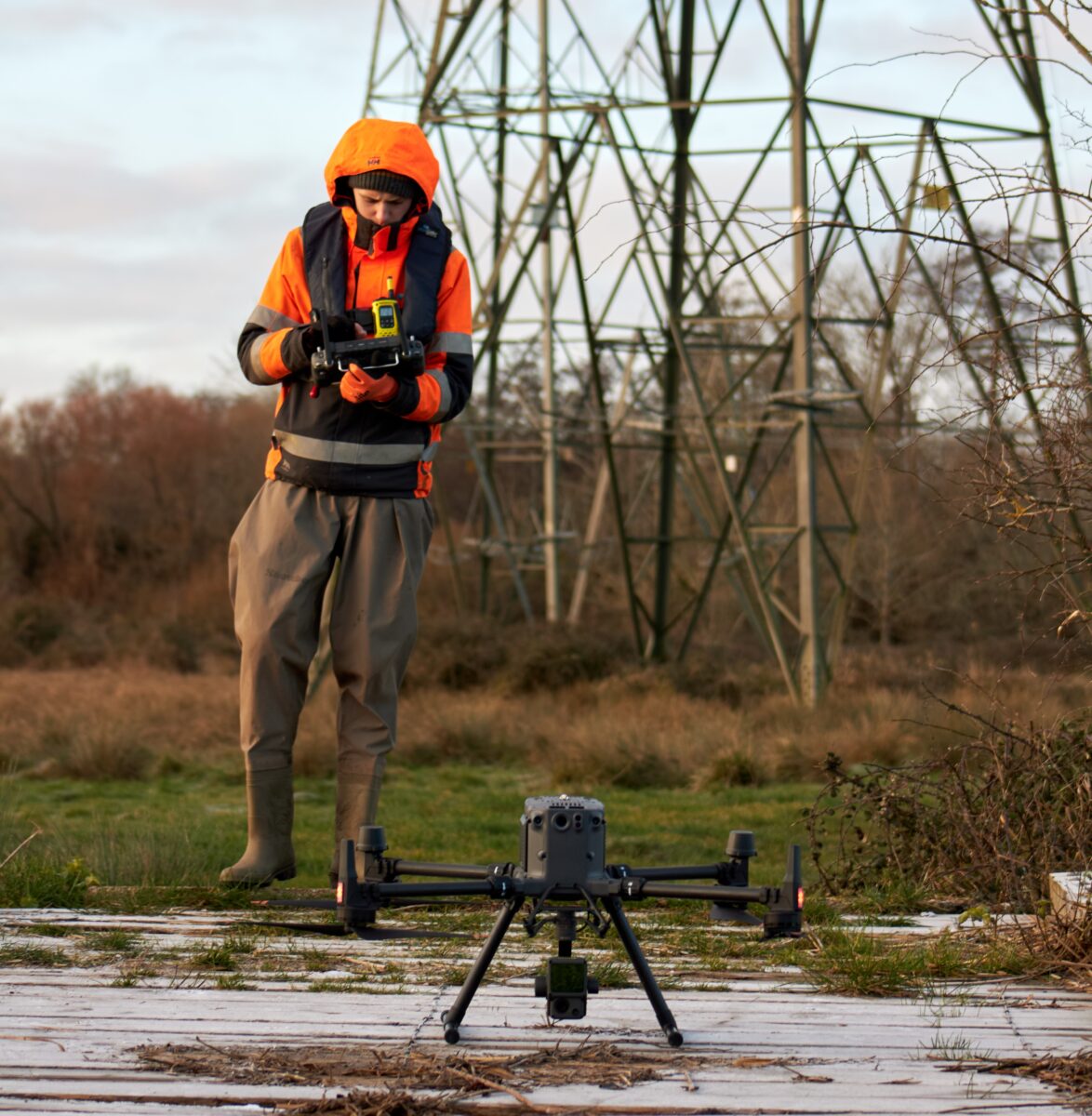
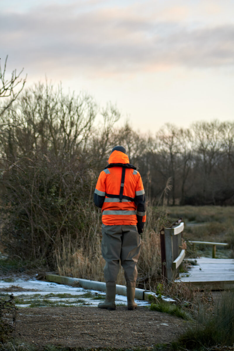
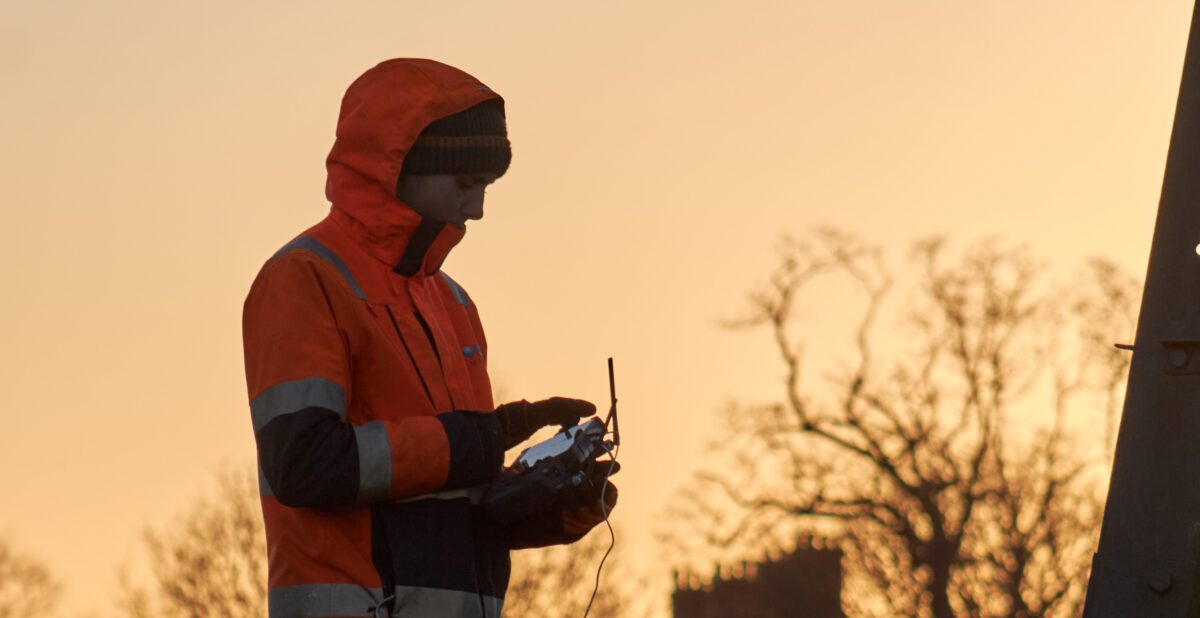
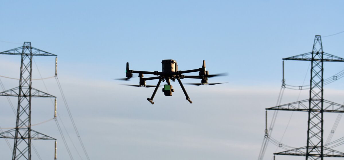
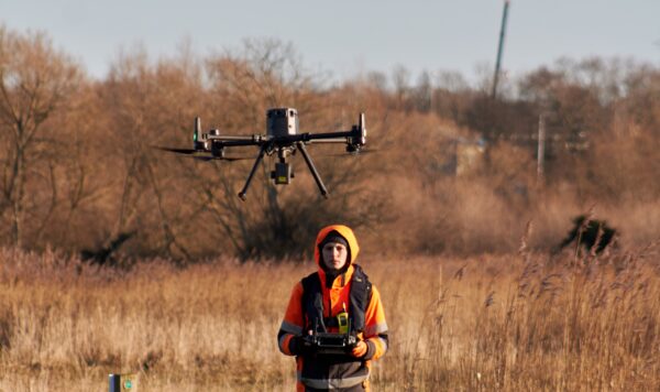
Snowy conditions welcomed the Storm RPAS team back to the Lower Test Nature Reserve in Southampton this January. The purpose of this project is to create a full River Digital Twin model of the river to allow informed decisions from the land owner. Having previously delivered a classified point cloud alongside a 2D orthomosaic back in August 2023, the aim of this survey was to pick up on the ground levels that were unattainable in summer due to dense vegetation.
The Challenge
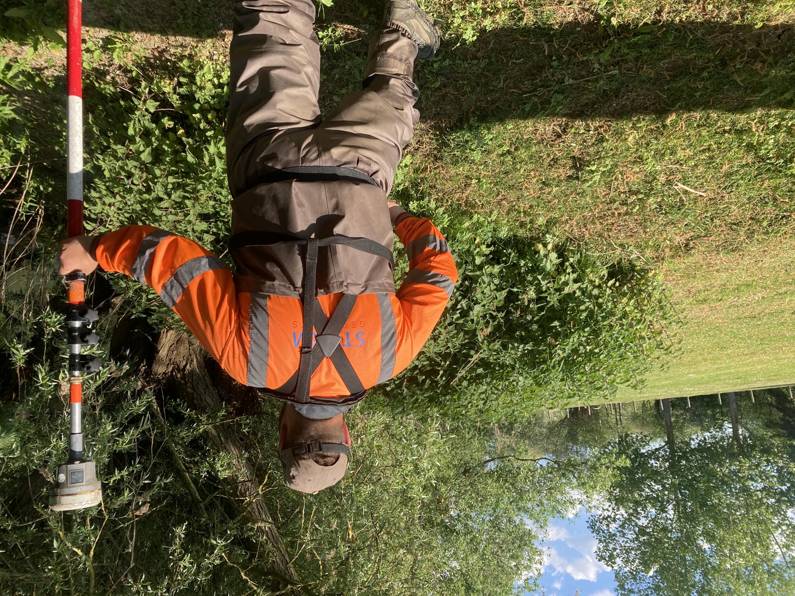
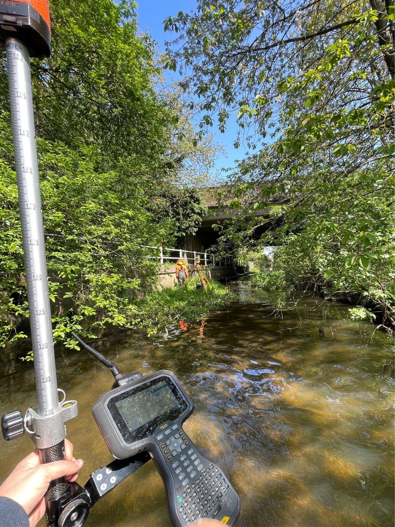
As ever though, winter brought along its own challenges. Heavy rain the week before meant that water pooled on much of the surface, limiting the penetration of LiDAR through to the ground. To work around this, points were surveyed manually beneath the water. Back in the office the RPAS surveyors worked the points into a 3D mesh and combined with the point cloud, resulting in a continuous model without gaps.
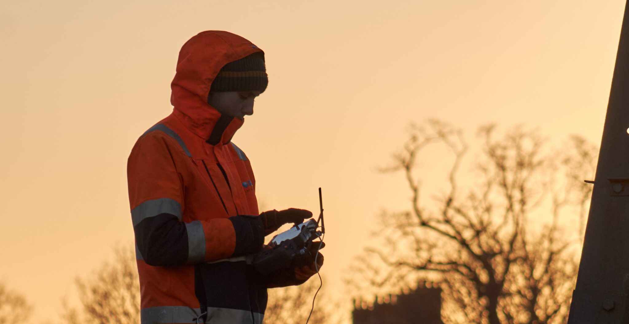
The large nature of the site (>2km2) brought with it other challenges. To remain within 500m of the drone at all times, the team had to carefully plan their take-off and landing points to the metre. However, with enough preparation and planning all the data was collected in the smallest number of flights possible while remaining within the legal boundaries.
Result
This project was an opportunity for Storm Geomatics to combine aerial and bathymetric surveying capabilities. The data collected within the channel using the Norbit iWBMS Multibeam Sonar System were combined with the LiDAR point cloud to create a fully detailed river digital twin of the Lower Test Reserve.
This model provides an interactive way of looking at the data and is hosted on a point cloud viewing platform, Potree.
A separate case study detailing the bathymetric survey is also available.
Recent News
Data to Decisions – Storm’s May Update
Dry Spring, Fresh Momentum – April Survey Highlights


