
Bathymetric Survey of Ponds To Investigate Overspill
The Background
- Date
- December 2023
- Client
- Collins Earthworks Limited
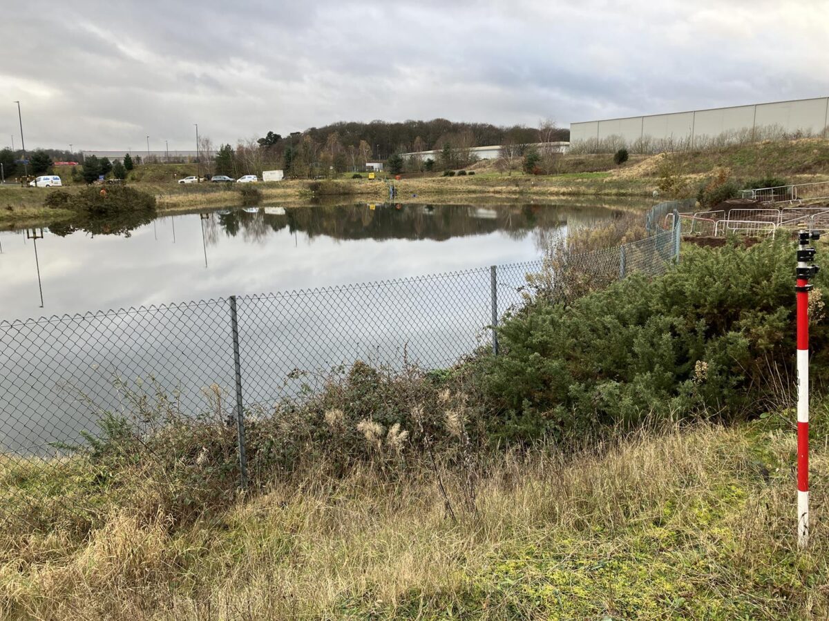
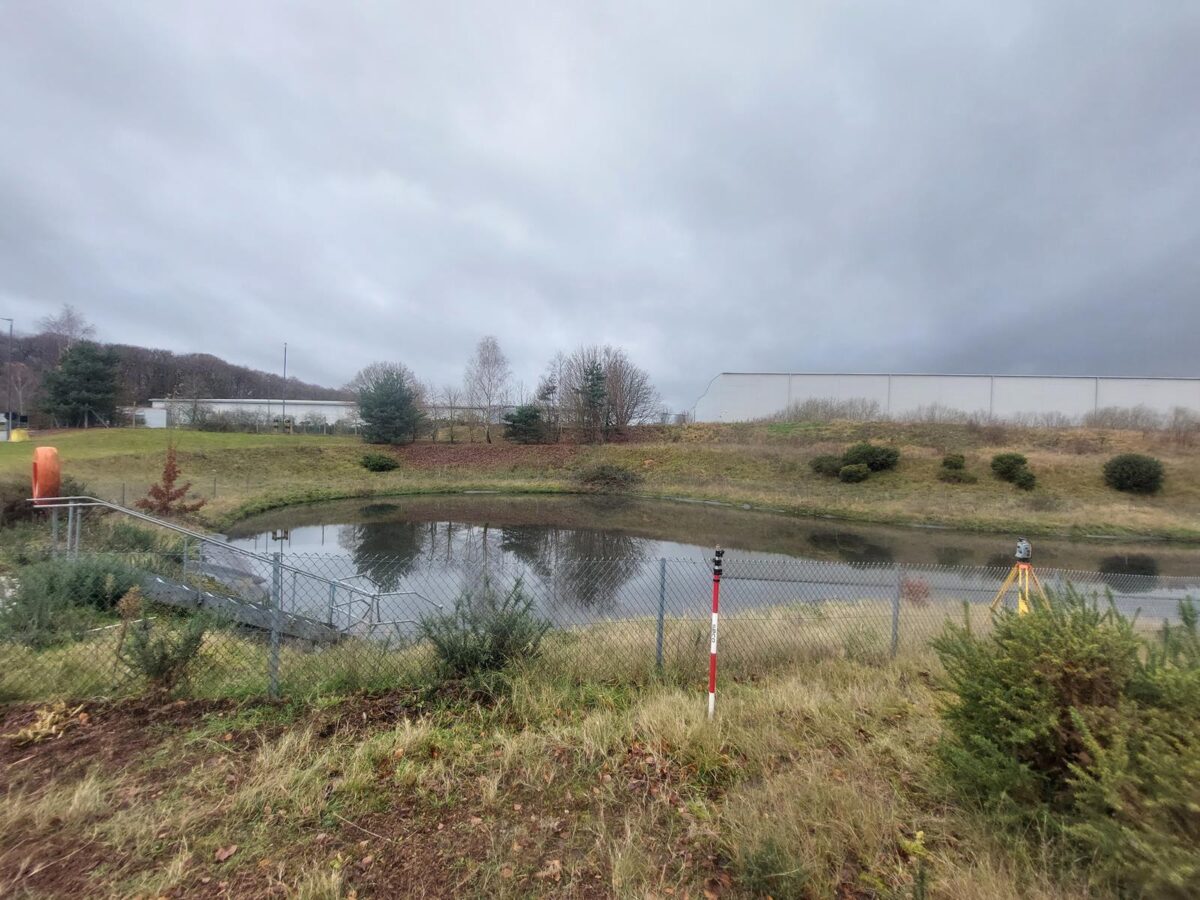
Storm Geomatics deployed to survey a collection of two ponds, both lined with a synthetic sheeting, and a much larger unlined pond required surveying of both hard and soft bed up to the immediate crest to assist as to why the water was not properly soaking away, causing a breach of the northern bank and discharge onto the adjacent rail line.
Challenge
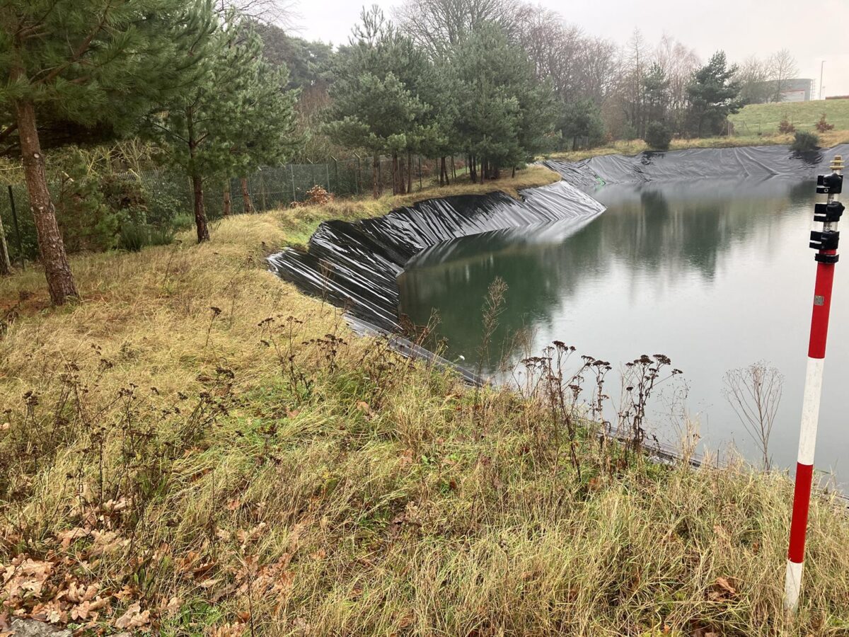
Due to the depth of the water, a survey boat was required which adds travel time plus more careful considerations regards to risk assessment. Surveyors were required to take extra care had to prevent causing any untoward damage of the pond linings. To prevent that the pointed pole tip of each survey pole with a flat-bottomed measurement tip.
The preferred method of using a floating chair instead of a survey boat to obtain the silt levels, and then launching the remote controlled tri-drone to measure the bed levels themselves. Whilst this did slow down work slightly there were no difficulties in completing the survey required of the two smaller ponds.
Due to the distance from office to site and having only two site days to complete the work, the survey team was under some level of time pressure. However, there was no real issue due to the teams prior planning and coordination with the client, allowed Storm get straight to work.
Results
All survey work both topographical and bathymetric was completed on schedule with no incidents or damage to the lining due to our measures with plenty of time for processing up to our usual high standard of work. All Data was collected via Trimble Total Station and adjusted to installed E6 grade control station.
Recent News

Do All Rivers Lead to Liverpool?

Geospatial Survey Delivery Across UK River Infrastructure
