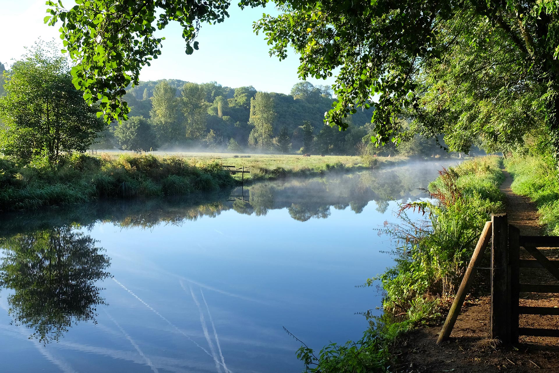
Watercourses
This is our core activity, providing precision data to client’s exact specifications.
Our surveyors have surveyed and produced thousands of river cross sections on a huge variety of watercourses. Often a feature of hydraulic significance is present within a watercourse that the client hasn’t specified, in this case it will either be surveyed and delivered or reported to the client as a possible extension to the scope of work. Having river modelling knowledge is invaluable during the data capture stage – it considerably improves the integrity of final model results.
Frequently Asked Questions about Watercourses:
Why should I use a survey company with watercourse experience?
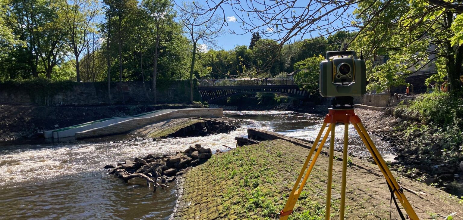
Watercourse surveys are complex and hazardous. Choosing a company with a proven track record ensures the data is collected safely, accurately, and completely.
How do I know a survey company can deliver reliable watercourse data?
Look for a history of successful river survey projects, relevant accreditations, and trained surveyors who use industry‑approved safety procedures.


River model data is available in Hec-Ras, Flood Modeller Pro, Tuflow, Innovyze and MIKE11.
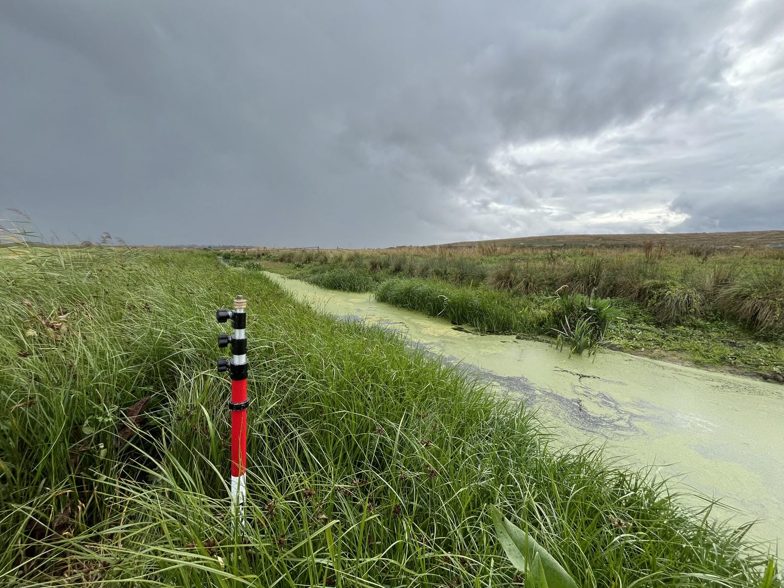
Our survey data is processed using our own GeoRiver® processing software which consistently produces river survey deliverables efficiently and accurately – assuring the best quality survey data. Bathymetric surveys of watercourses are also undertaken, providing more detailed river bed level information. This information is used to form a 3D model of the river, and can be fully rendered to show the bed levels in different colours. Projects undertaken range from small flood risk assessments to large catchment models. Watercourses of all characteristics can be surveyed, from small streams to ship canals. You can be assured that the survey data your receive from Storm Geomatics will be the best possible source data for your hydraulic modelling project.

Mike Hopkins
Managing Director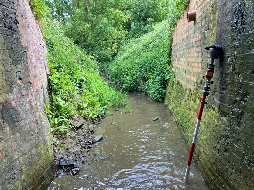

Recent News

Do All Rivers Lead to Liverpool?

Geospatial Survey Delivery Across UK River Infrastructure