Flood risk assessment commissioned
The Background
- Date
- Aug 2019
- Client
- Natural Resources Wales
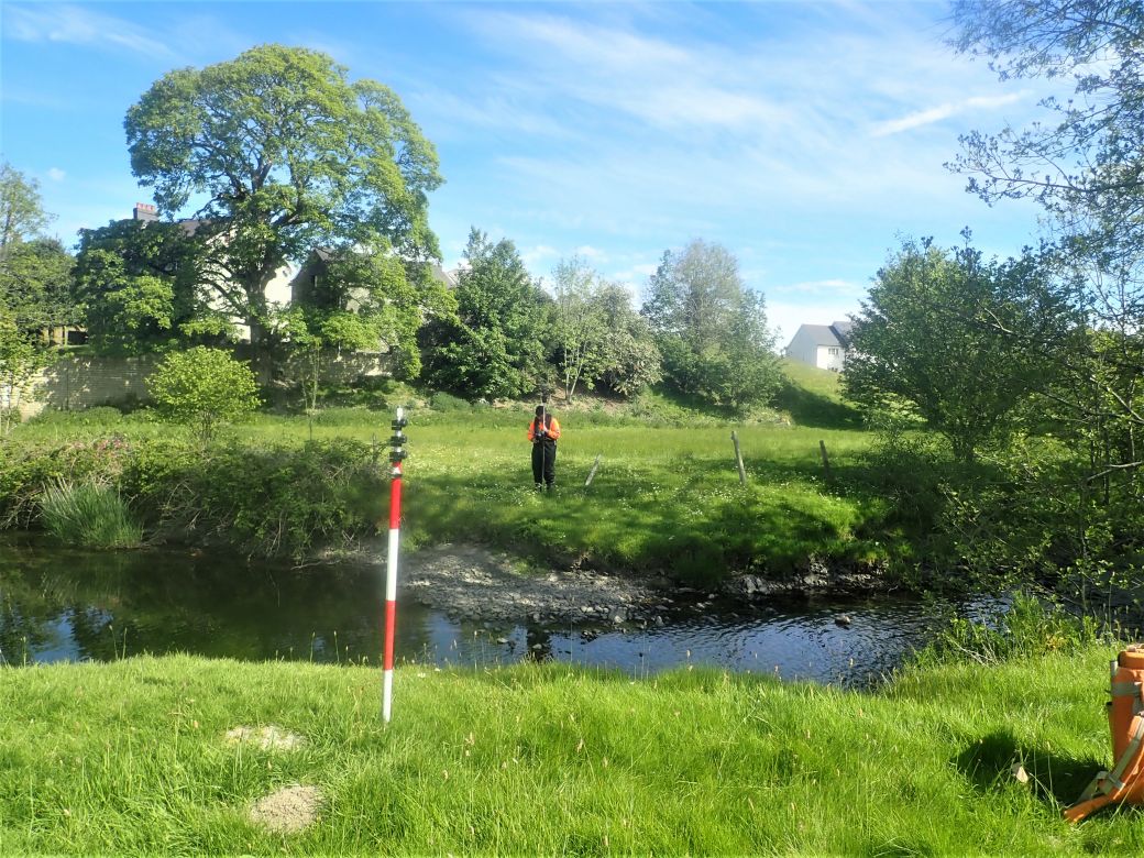
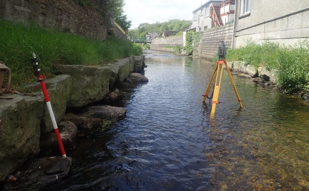
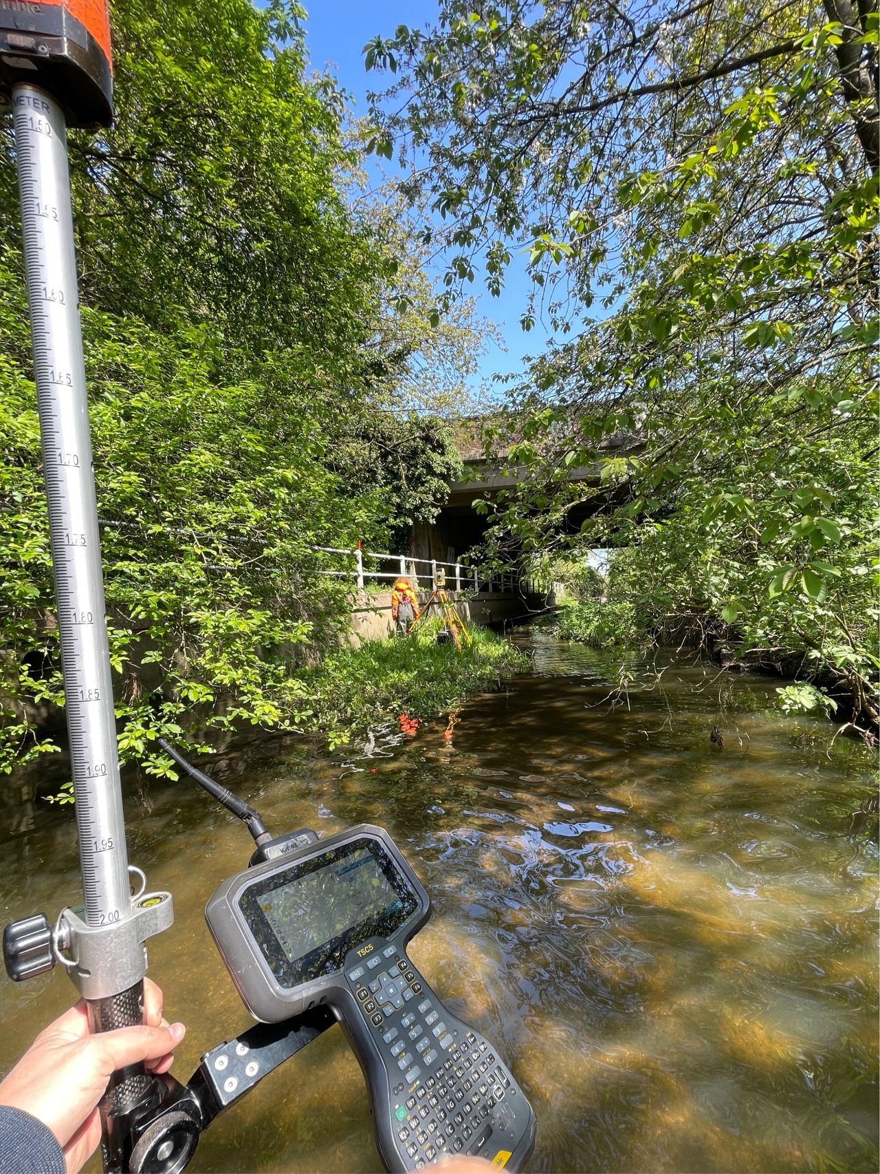
The Village of Tregaron has a recurring history of flooding issues within the catchment, an issue that Natural Resources Wales are endeavouring to manage and mitigate where possible. Natural Resources Wales commissioned a channel survey of the river network around the town of Tregaron in order to better understand the flood risk to the local area. Up to date geospatial data of three converging rivers was captured in order to better inform the existing flood model for the Tregaron catchment. Storm Geomatics deployed a team of DEFRA water safety & awareness trained surveyors in order to accurately and safely capture the channel and flood plain information. Storm Geomatics delivered the work ahead of schedule by utilising efficient workflows gained through 12 years of experience in watercourse surveying & using the most up to date Trimble GNSS & total station survey equipment.
Our Solution
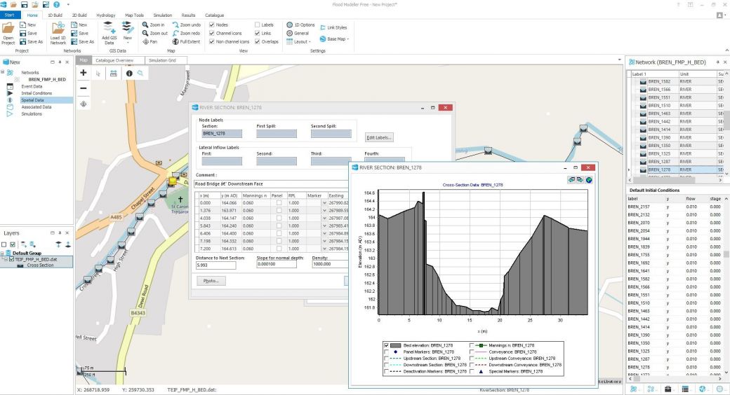
Storm Geomatics surveyed approximately 90 channel cross sections, 2km of defence crest heights and 40 property thresholds. The geospatial dataset was secured into the river management software GeoRiver® to produce accurate data files for Flood Modeller Pro, Tuflow & Hec-Ras modelling packages. Using GeoRiver® Storm Geomatics have been able to provide complete model files including structure geometry, a step that greatly reduces the workload of the modeller.
Storm Geomatics have a mission to “Reduce flooding across the globe” and have an enthusiasm to be the measurement and geospatial data provider for any projects that deliver this. Storm believe that between their extensive experience in measuring in water and their software GeoRiver® they can deliver the cleanest and most advanced geospatial data for your project and at the keenest prices. It is always worth dropping me an email at mike.hopkins@storm-geomatics.com if you have a geospatial data requirement – especially if you need to run a hydraulic model.
Recent News
Data to Decisions – Storm’s May Update
Dry Spring, Fresh Momentum – April Survey Highlights


