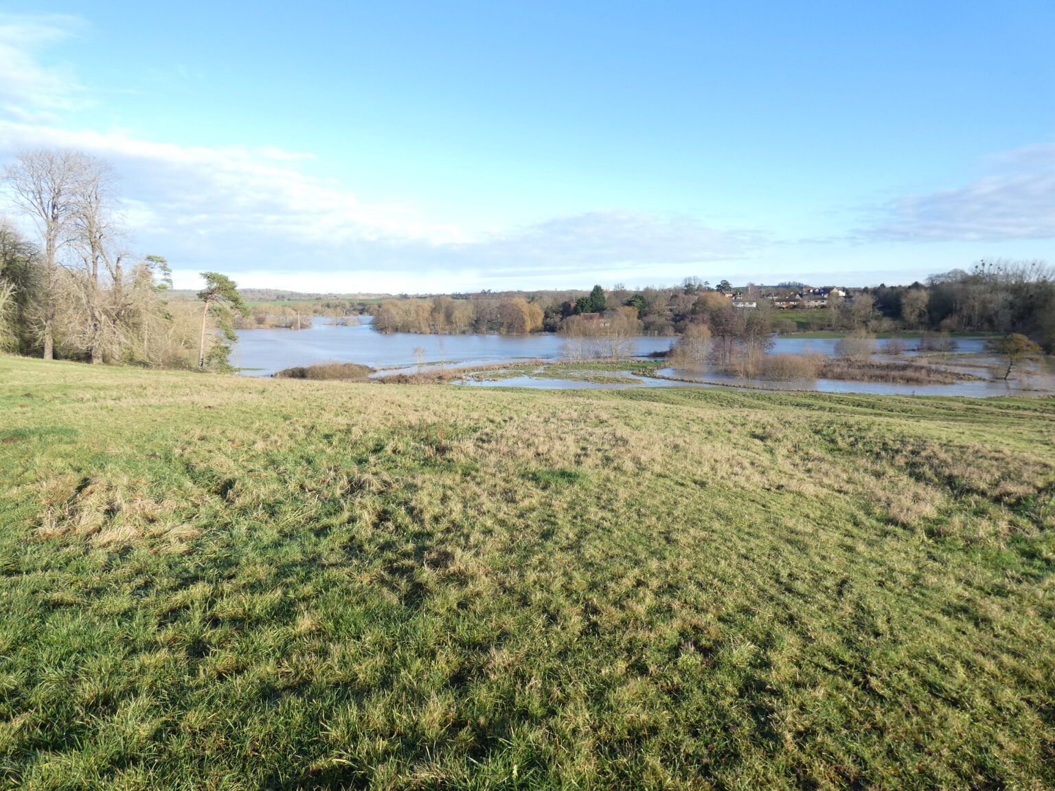
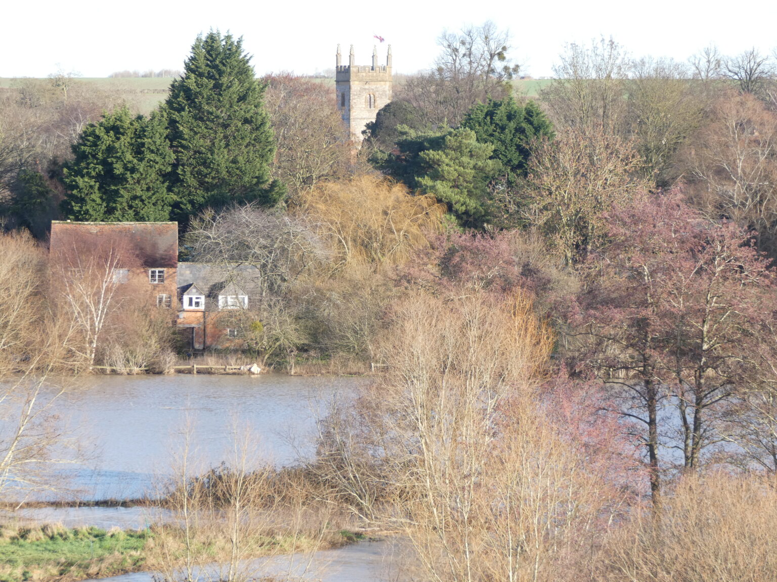
Flood Plains
Flood plains are surveyed in a number of ways and which method is used will depend on the required accuracy.
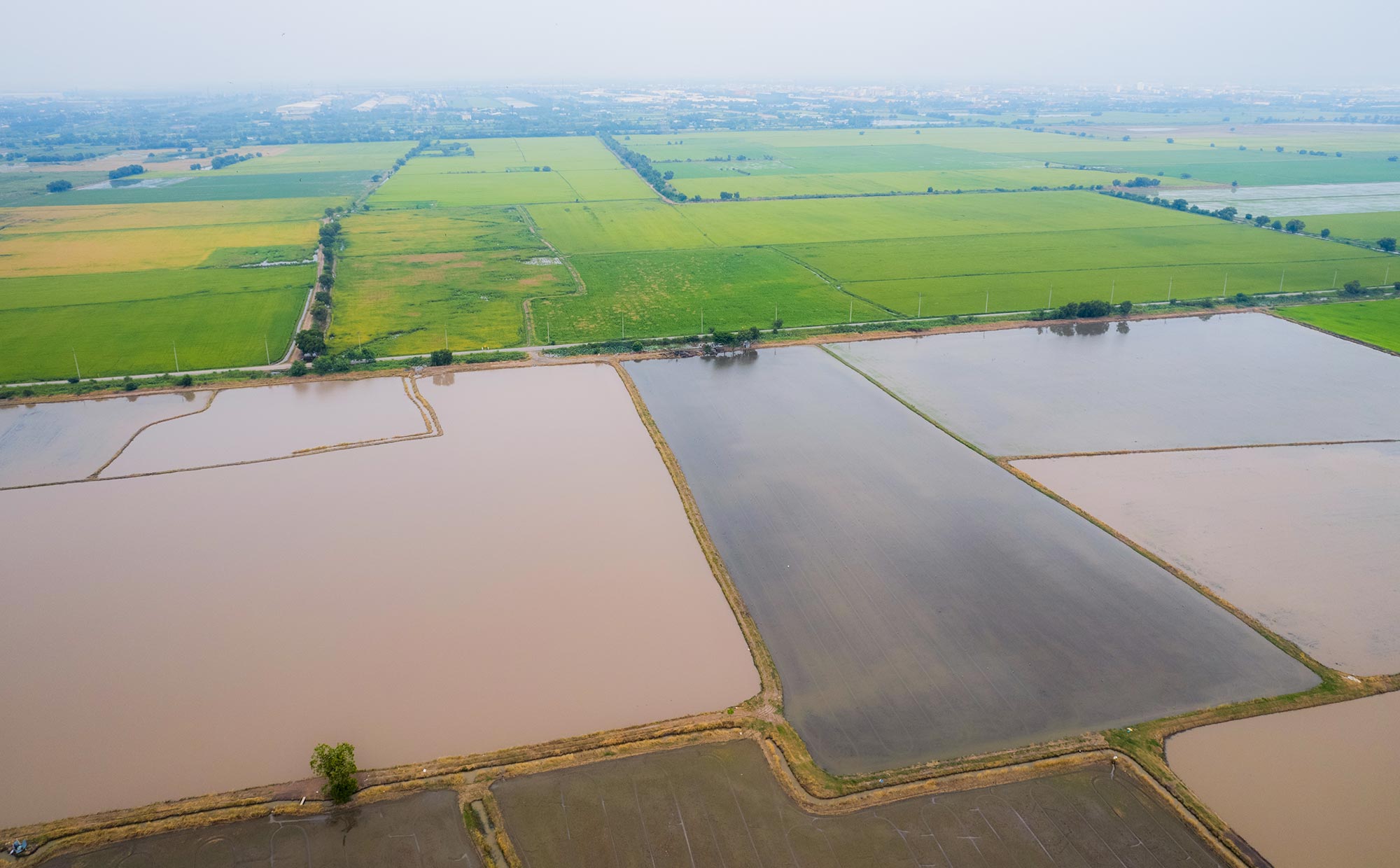
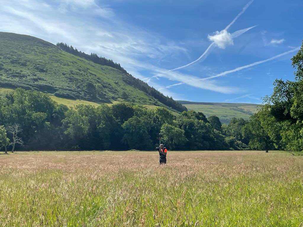
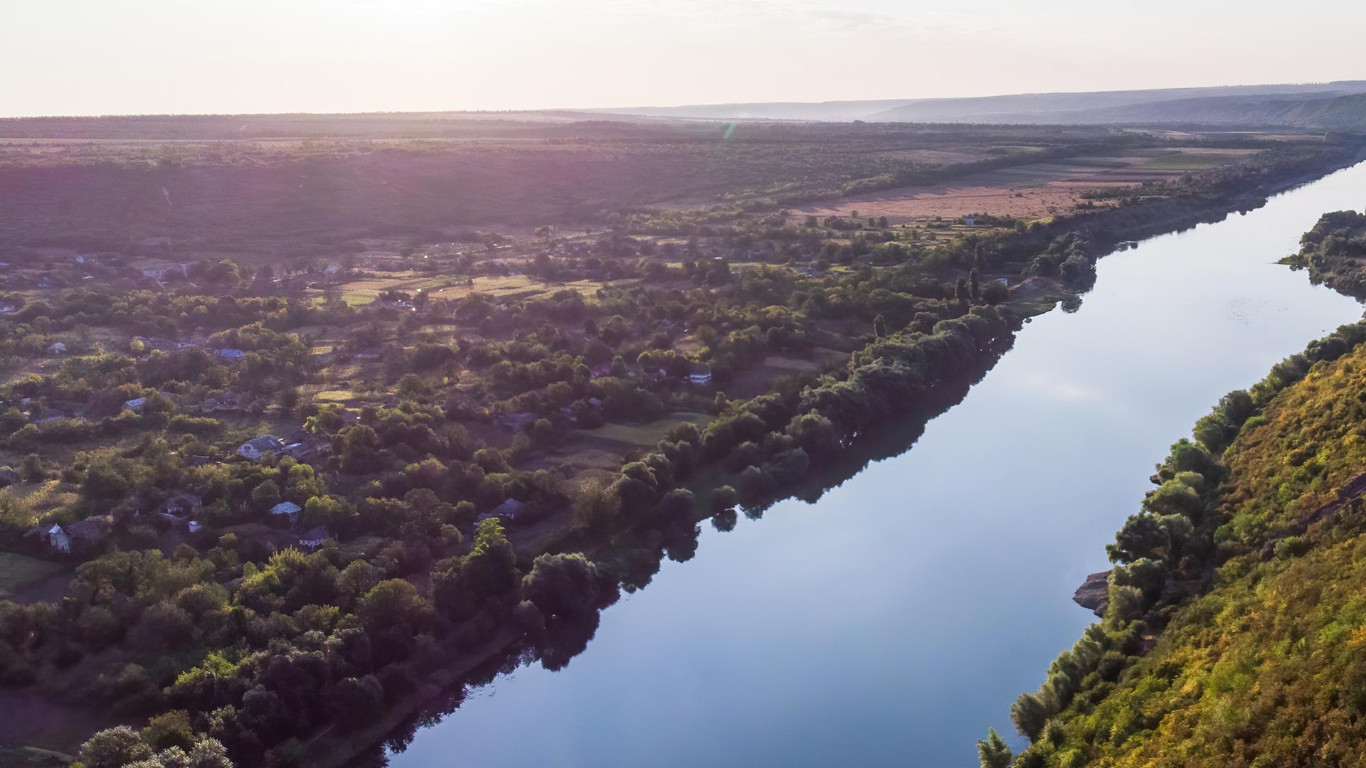
Lidar data and photogrammery can provide level information over vast areas of land, when aircraft are used for data capture. Airborne survey techniques can also be deployed from a remotely piloted aircraft system (RPAS) for smaller areas. Storm Geomatics provide data for your needs, from ground data for surface water run-off modelling or “top of vegetation” for tree height canopy. The density of ground points using lidar from RPAS is unparalleled in comparison to open source data and is especially useful in steep upland catchments when implementing natural flood management.
Our fully trained RPA pilots will ensure your project gets the maximum benefit out of technology and knowledge.
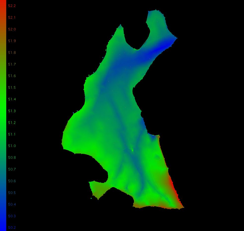
High density data.
Lidar data is normally publically available at 1m intervals, which is not often the best resolution to design flood alleviation and habitat improvement interventions. By using locally flown data you will receive data that provides a true representation of the current site conditions and also have the option to produce a high resolution terrain model that will clearly show natural topographic features like paleo channels.

Mike Hopkins
Managing Director
Recent News

Do All Rivers Lead to Liverpool?

Geospatial Survey Delivery Across UK River Infrastructure