Topographic Surveys Kick off Regeneration Project
The Background
- Date
- December
- Client
- 2023
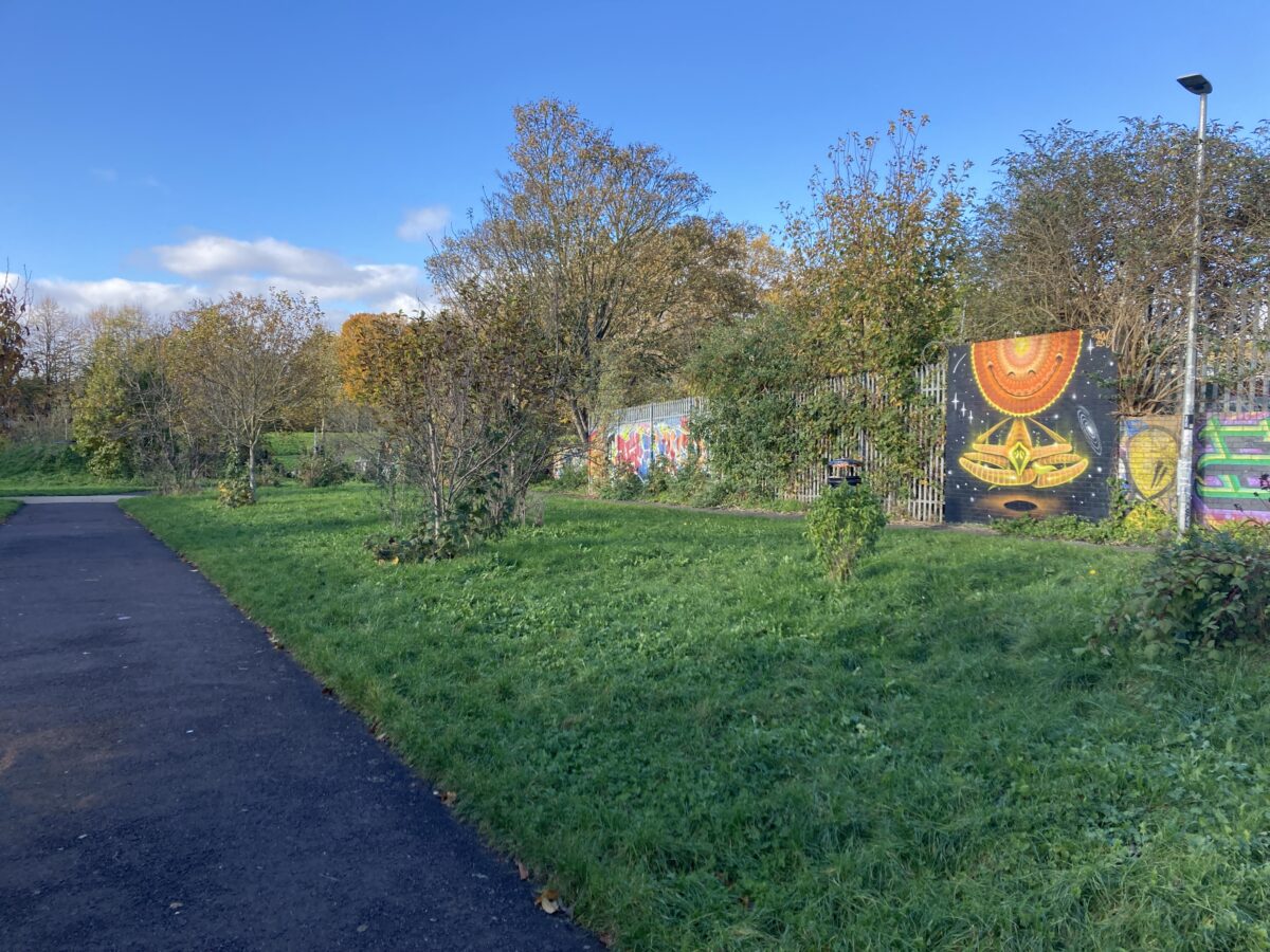
Bristol City Council is working in partnership with the local community on the Frome Gateway Regeneration Project. The Frome Gateway includes land on either side of the River Frome in St Jude’s and the ambition is to make it an exemplar neighbourhood responding to city challenges such as the housing crisis, climate and ecological emergencies, and economic growth.
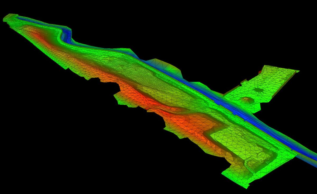
It is always a joy to work on local projects and being close to Storm’s Thornbury Office allowed for surveyors to quickly deploy. Our Survey consisted of a total of 78 sections, 74 open channel sections spaced at 10m throughout the Frome Gateway and 4 structure sections. This was in conjunction with a topographic survey of Riverside Park and Peel Street Green Space, situated on either side of the River Frome. These surveys will help decision making during the regeneration planning process.
The Challenge
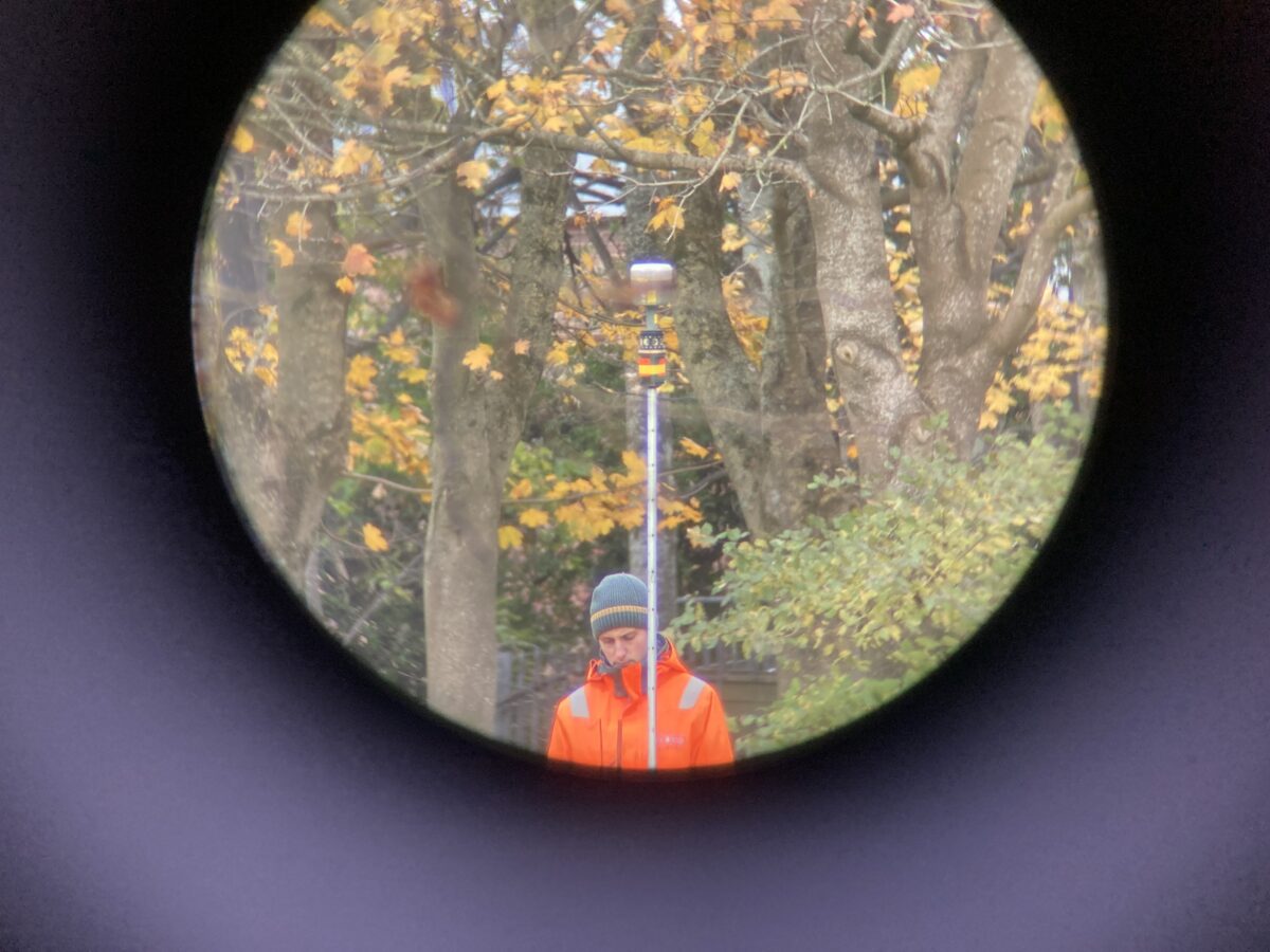
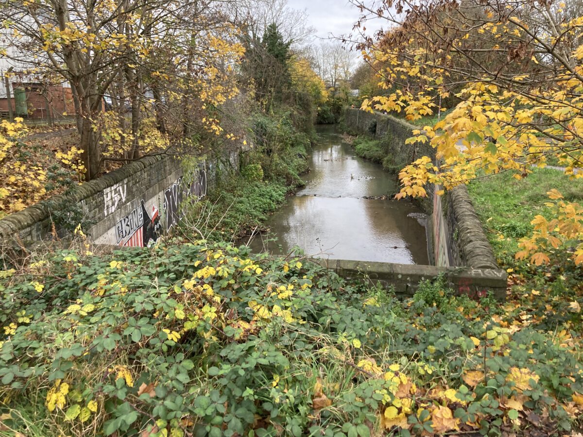
The River Frome, in the Frome Gateway, is situated deep within the confines of tall flood walls. Channel access was limited to one gateway and fixed ladder leading down into the channel.
For this reason, a typical two-man team would have been inefficient and time
consuming as one surveyor would need to regularly enter and exit the channel. Therefore, a three-man team was utilised to complete the in-channel work. This allowed two surveyors to collect out of bank cross section data and one surveyor could remain in the River Frome to collect the in channel data. Careful consideration about how to collect the channel data was required as this dataset was to be transferred between two programmes and married with the topographic survey to produce a 3D Digital Terrain Model (DTM). Careful planning and coding ensured datasets did not overlap and married well with only some manipulation of the DTM required. This DTM will allow the client to view a 3D model of their site, run any required flood models and test the Frome Gateway’s resilience to flooding caused by climate change.
The Results
Site work was completed ahead of schedule allowing extra time to refine the channel topographic data and final DTM which was delivered before the Christmas Break.

- James Mayers
SurveyorRecent News

Do All Rivers Lead to Liverpool?

Geospatial Survey Delivery Across UK River Infrastructure
