Stillwaters
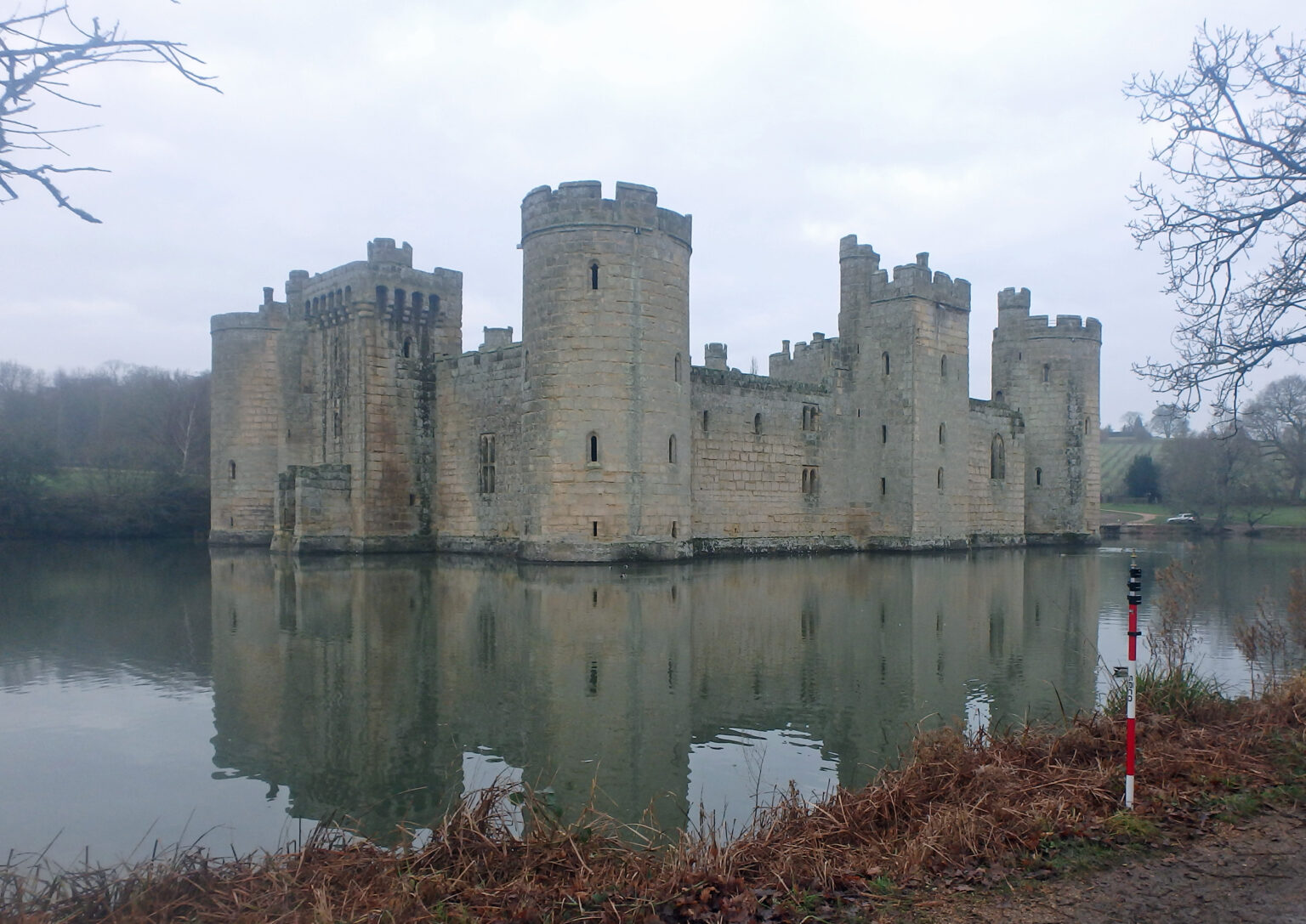
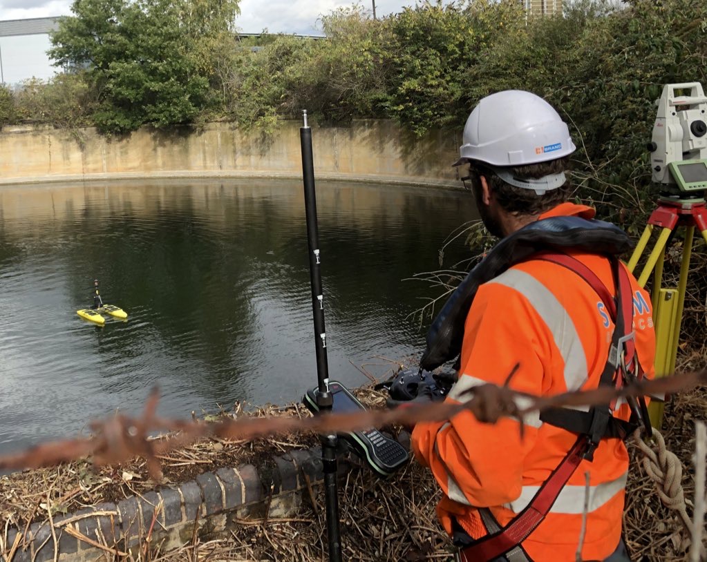
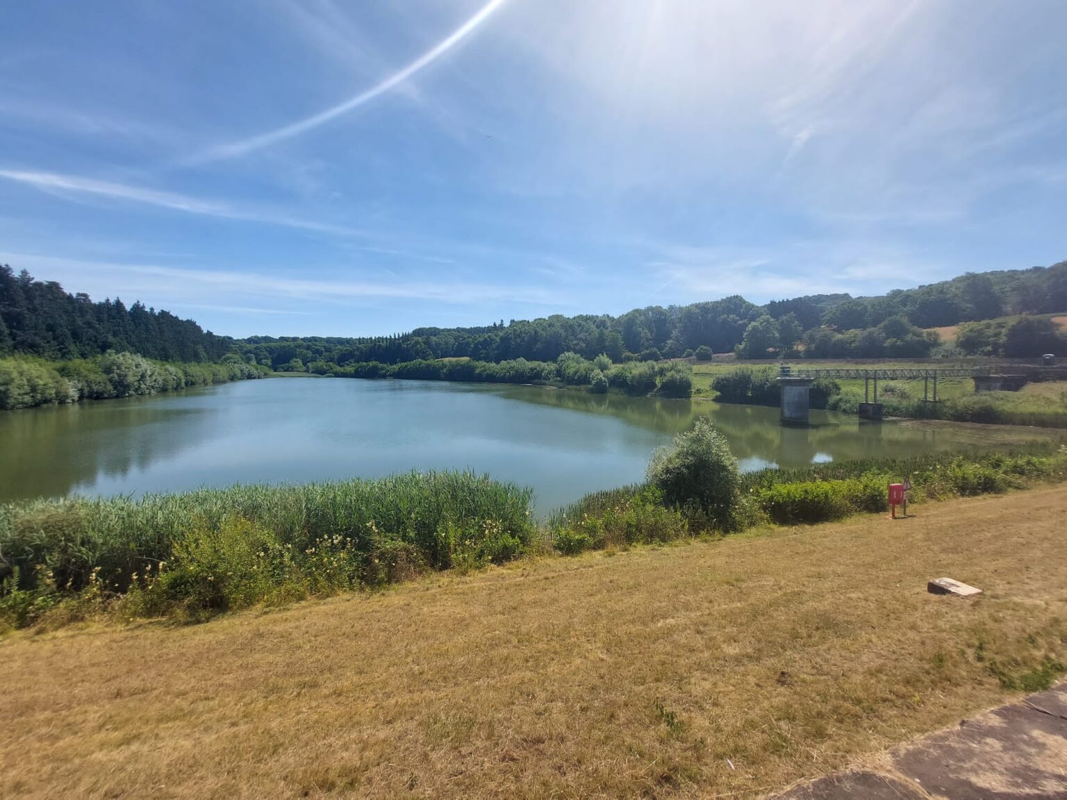
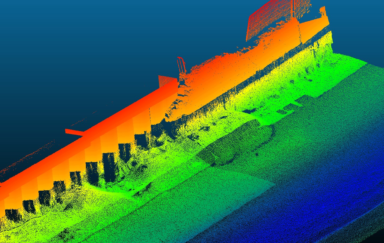
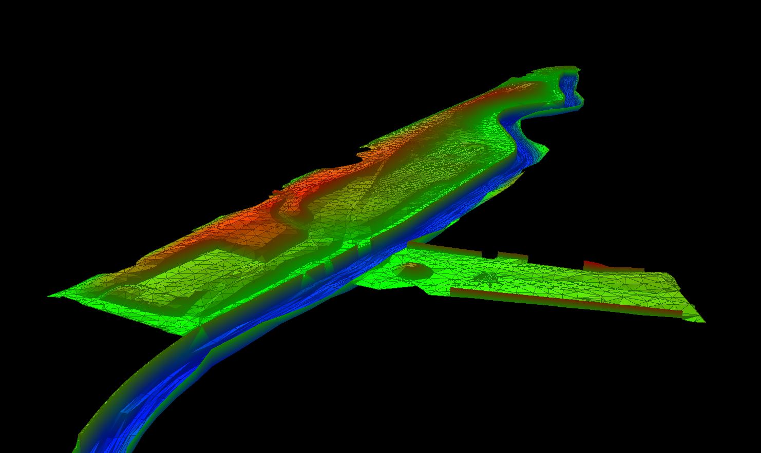
Stillwaters of all sizes can be surveyed to provide bed topography information and volume calculations for different levels of water. Vast and deep waters can be surveyed quickly using a single or multi-beam echo sounder and real-time kinematic GNSS. Lakes and reservoirs that are inaccessible with a normal car, can be accessed with a 4×4 or quad bike. Silt surveys can be undertaken of lakes to establish hard and soft bed levels and subsequent silt volumes can be calculated. Stillwaters are presented as contour drawings or coloured by elevation to represent any bed features.
Frequently Asked Questions about Stillwaters:
What is a River Condition Assessment?
River Condition Assessment involves a field and desk based survey to assess the condition of a watercourse.
What additional benefits can Storm Geomatics offer you?
Storm Geomatics can provide an RCA which will not only comply with Biodiversity Net Gain requirements but can also provide an insight in to how effectively plan and manage a range of projects for development, restoration and conservation.

Mike Hopkins
Managing Director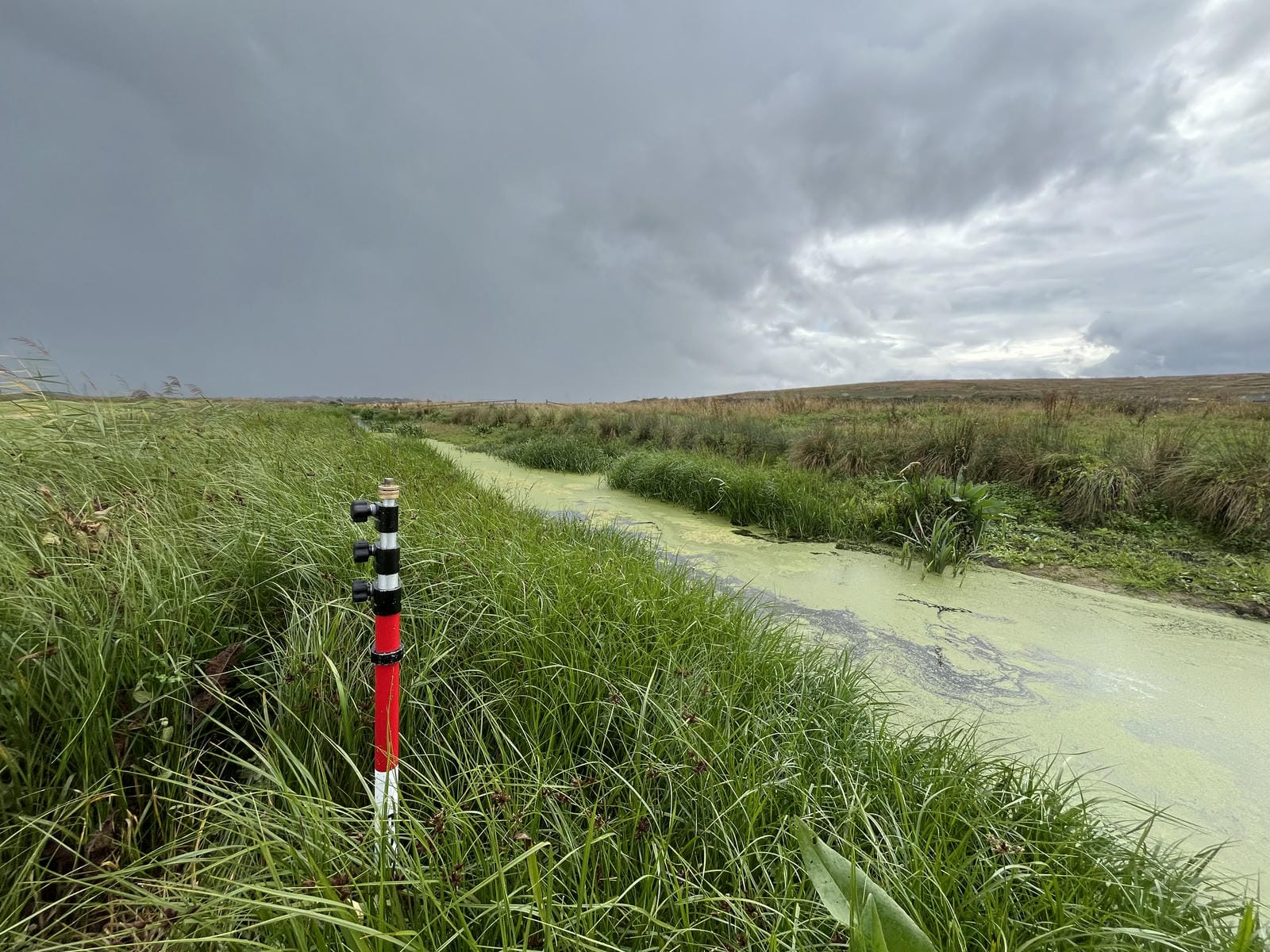
Recent News

Do All Rivers Lead to Liverpool?

Geospatial Survey Delivery Across UK River Infrastructure