A River Condition Assessment Provides True Baseline for Monitoring of River.
The Background
- Date
- July 2024
- Client
- Clancy Consulting
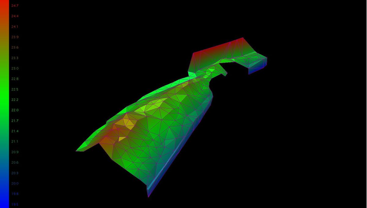
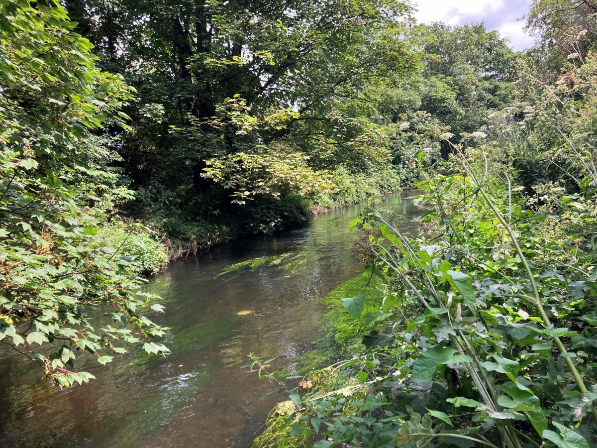
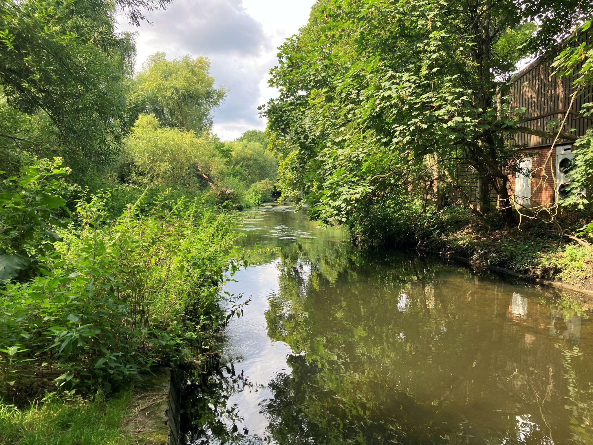
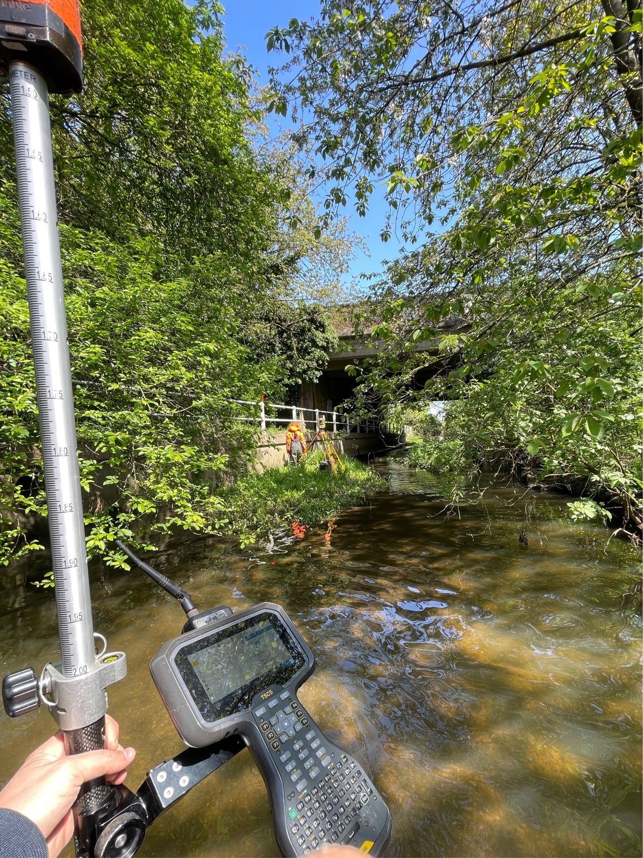
In July Storm Surveyors visited Southwest London river. A full river condition assessment (RCA) was requested for a 260m stretch of the watercourse through the site. To get a full picture of the site, a topographic survey was also commissioned. A full baseline report was produced, providing details of the positive and negative indicators that contribute to a final condition score. Establishing an accurate benchmark is key as this will be used to create different scenarios and report condition changes on subsequent monitoring surveys. A topographic survey was also produced for the site, capturing changes in elevation, tops and bottoms of banks, changes in surface, and linear features such as fences and trees. When combined this data provides a vast quantity of highly precise information that can be used for the efficient delivery of projects.
The Challenge
Storm believe that the success of a project begins in the diligent preparation. The survey team completed a full desktop study before deployment, site specific RAMS were written and the weather forecast and water levels were checked, it is these actions that help the survey team to formulate their most effective approach to performing the survey.
The site was largely open, however pockets of dense vegetation provided access challenges to the surveyors, something they encounter frequently during the summer months. Thankfully, the team are armed with the know-how and some clever surveying kit to ensure that the necessary data is captured in an efficient and safe manner.
The Results
Results
The site work took one day to survey in full and despite the challenges presented, the awareness, and diligence of the survey team ensured the works were completed to schedule.
Combining the River Condition Assessment and Topographic survey in one day, the team produced the following deliverables:
- Topographic Plan – dwg and pdf
- Triangulated Surface – dxf
- XYZ values for surveyed points – .csv
- Site Photos – jpeg
- Survey report – pdf’.
- Baseline River Condition Assessment
Recent News
Data to Decisions – Storm’s May Update
Dry Spring, Fresh Momentum – April Survey Highlights


