Underground Utility Surveys
An Underground Utility Survey is carried out to locate, detect and map buried utility services.
These can be gas pipes, water mains, electrical cables, communication lines or sewer pipes. For any project that will break the ground open, these services must be identified and mapped at the planning stage.
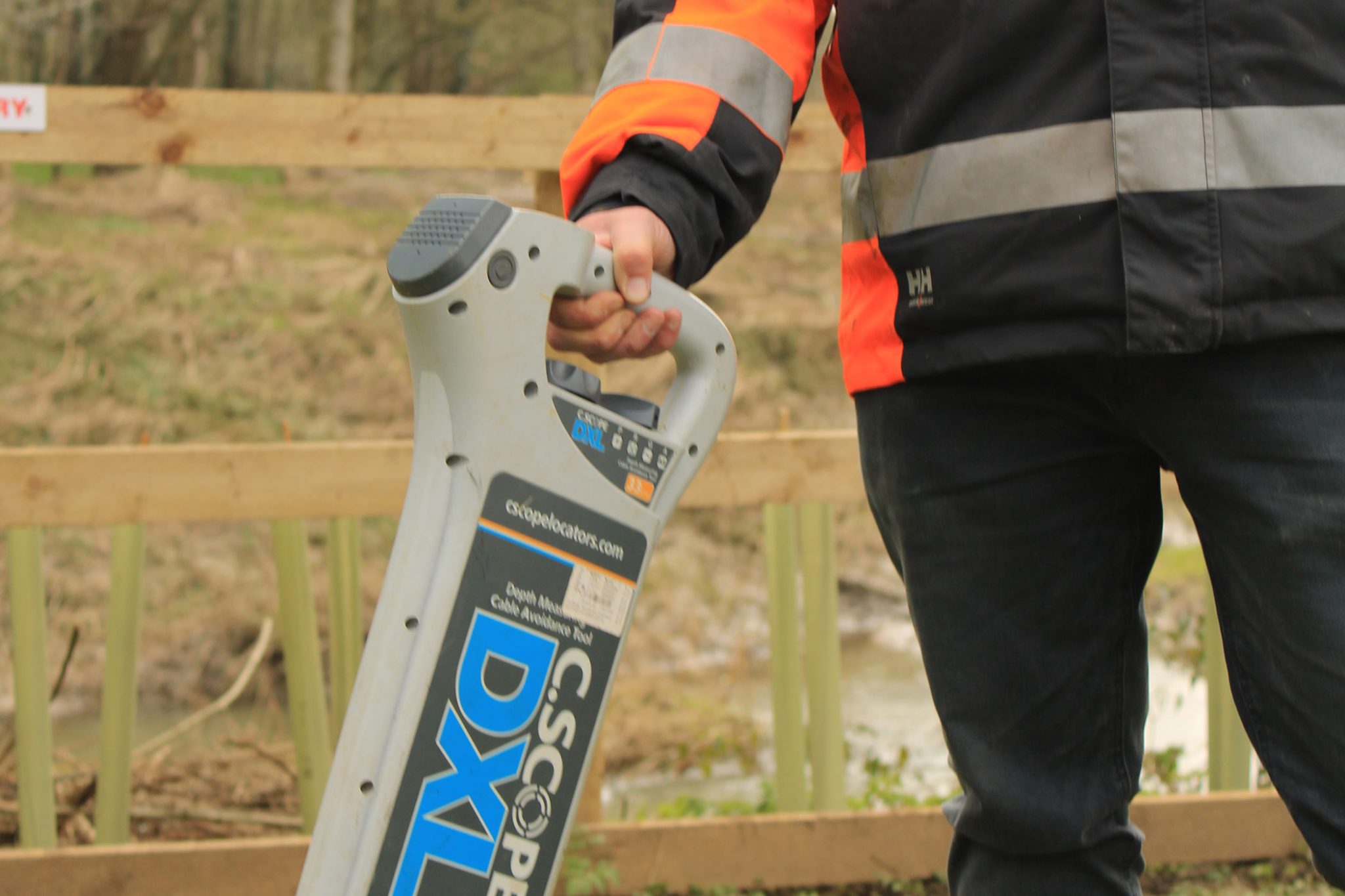
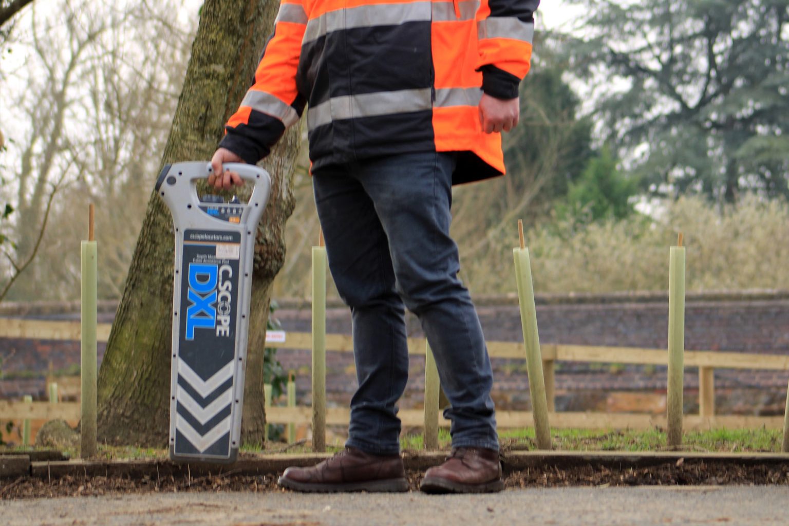
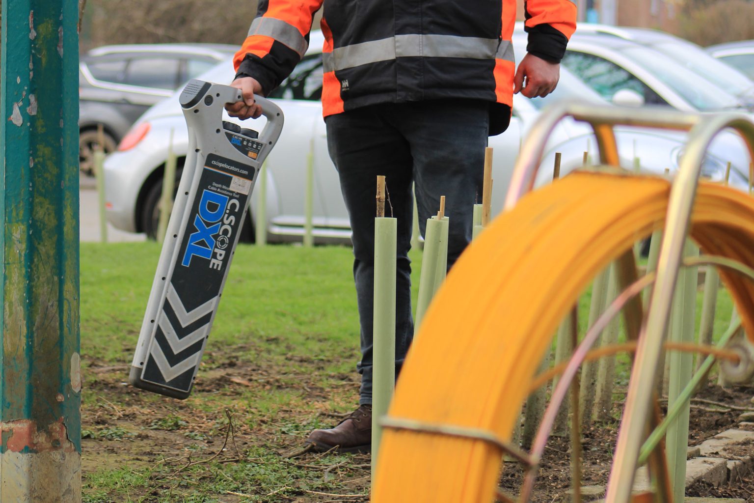
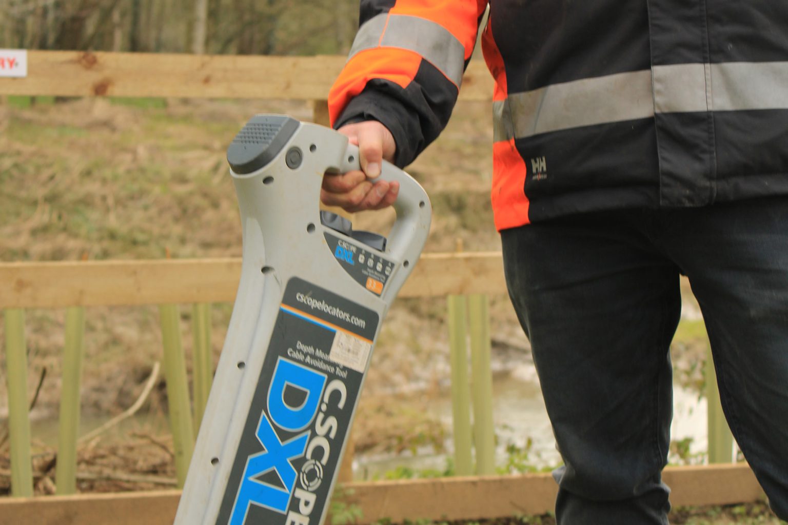
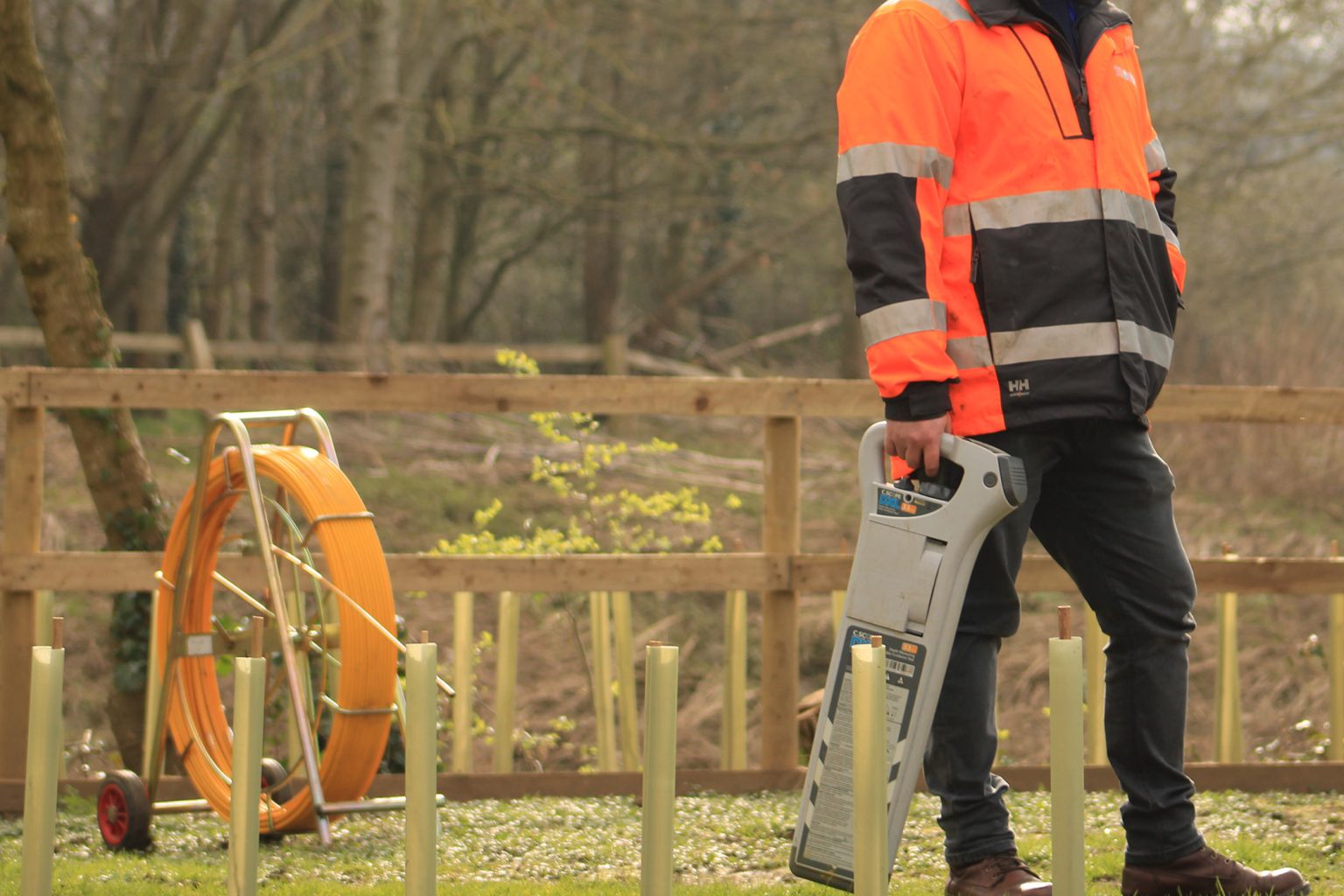
In direct response to our clients wanting to contract a survey company that have expertise in both flood mapping survey projects and utility surveys, Storm now locate buried utility services using dual-frequency Ground Penetrating Radar (GPR) and electromagnetic locators (EML).
Storm Geomatics provide a desktop analysis of services drawings from utilities companies and other organisations with relevant information about the client’s site, these are then used to detect, locate and map buried services that are present to ensure engineers, land managers and contractors can avoid service clashes/strikes in the design or construction phase of a flood defence or nature regeneration project. This can be combined with a bespoke topographic survey of the area to aid planning of works and give context to the utilities survey, giving a complete picture of your site.
Frequently Asked Questions about Underground Utility Surveys:
Tracing under ground utilities, doing dredging projects, can this be done by one survey company?
By procuring a utility survey company with the same surveyors that provide your other geospatial services, you will experience lower costs and exacting continuity across all your survey deliverables.
By identifying buried utilities accurately, Storm help mitigate the risk of accidental strikes during excavation or dredging of rivers, lakes & reservoirs, safeguarding your team and minimizing project disruptions. Allowing project managers to make better informed decisions BEFORE breaking ground and causing expensive or timely delays.
All Surveyors at Storm Geomatics work in the riverine environment daily and are DEFRA working in water level 2 safety trained thus providing assurance of safe working practices during the utility survey near water. The project timeline & budget is streamlined to avoid those costly delays and repairs caused by utility damage. Working to BSI specification PAS128:2022 British Standard, Storm Geomatics will create clear and detailed maps of underground services located on your project. Provided in a data format of your choice, the robust survey deliverables ensure underground utilities do not become a barrier to your projects success.

Mike Hopkins
Managing DirectorFind Out More
Do you have a Underground Utility Surveys project we can help with?
Call 01608 664910 or


Recent News

Do All Rivers Lead to Liverpool?

Geospatial Survey Delivery Across UK River Infrastructure