Bathymetric Survey provides New Bridge for Residents
The Background
- Date
- March 2024
- Client
- Topbond PLC
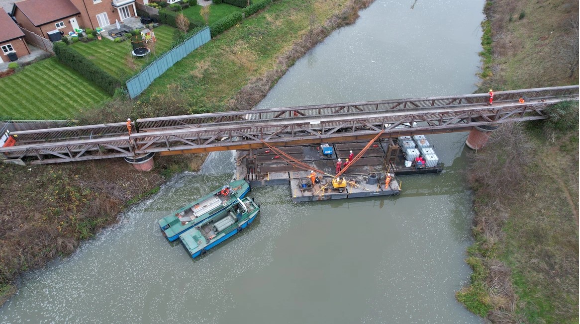
Storm Geomatics were recently approached by client Topbond PLC to conduct a bathymetric survey. The purpose of the survey was to aid river bed design for the installation of a new footbridge. Berry Hill Footbridge had been closed to the public due to dangerous condition and with the creation of a new housing estate, the infrastructure needed to be updated to be fit for purpose.
The Challenge
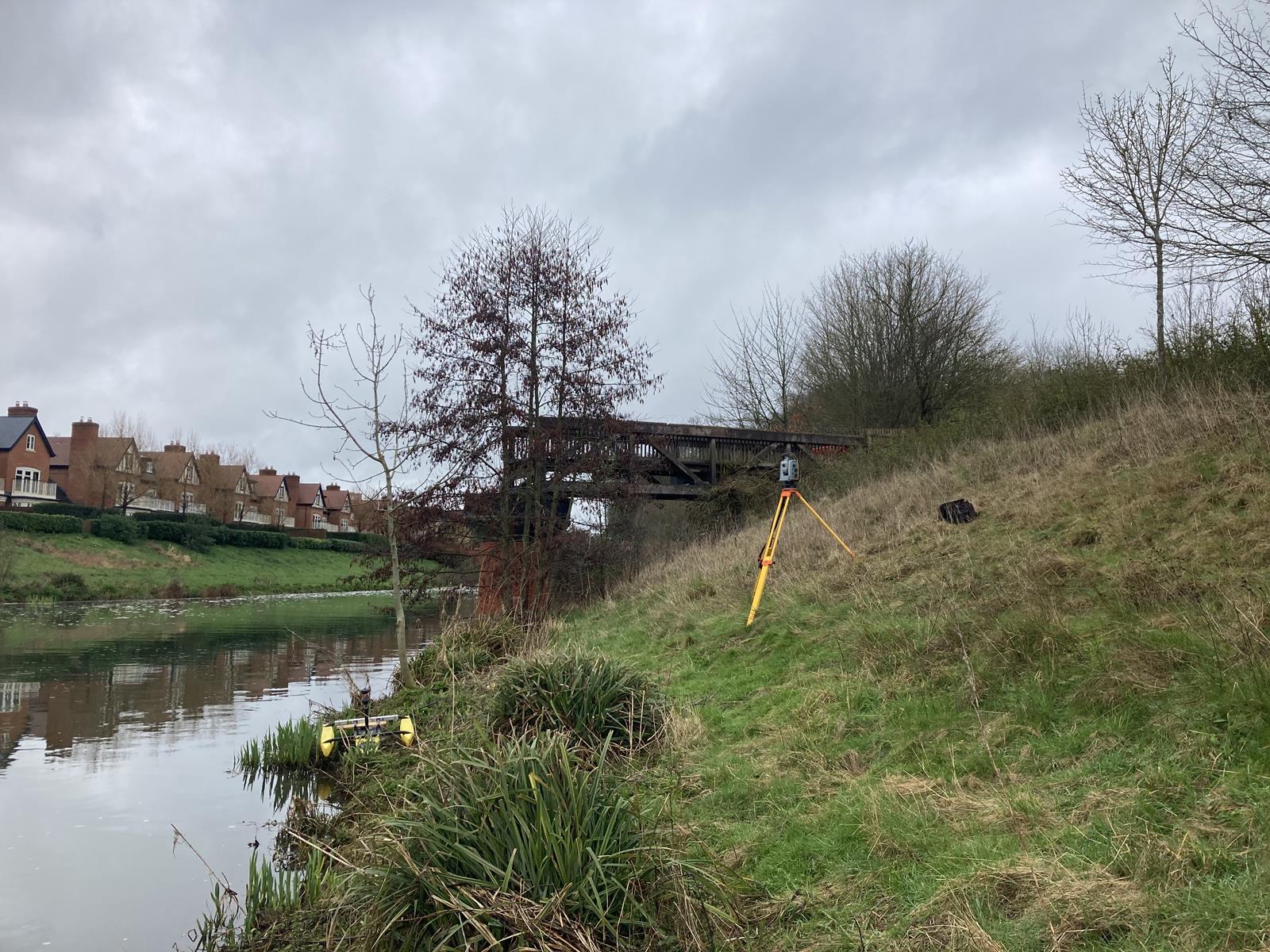
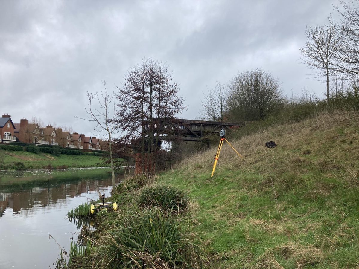
Due to the limited crane access from the banks of the flood relief channel, Storm’s client decided to use a pontoon system with bespoke jacks to lift the new bridge into place. Storm surveyors were required to overcome this challenge by mapping the riverbed to determine whether the pontoon could manoeuvre through the channel and which path it would take. Storm surveyors had to work quickly to survey the channel before the weather turned inclement, as the flood relief channel would become operational and rivers levels possibly to high for surveying to be conducted safely.
Due to fast flowing waters, and varying depths of the channel, surveyors made good use of the Tridone Unmanned Surface Vehicle (USV) to complete the survey quickly and efficiently.
The Solution
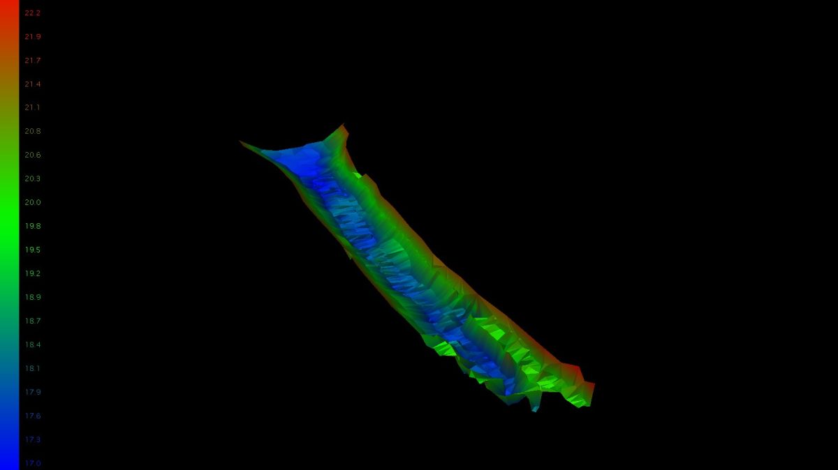
Once data processing had been completed, the client was delivered a comprehensive digital terrain model of the riverbed. This model provided crucial insights into the topography and allowed for the determination of the maximum tolerance for the pontoon’s passage through the river with the additional load of the bridge.
- Saul Bolton
Junior SurveyorRecent News

Do All Rivers Lead to Liverpool?

Geospatial Survey Delivery Across UK River Infrastructure
