Collaborative Topographical Surveys
The Background
- Date
- September 2023
- Client
- Stantec
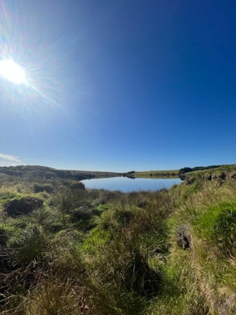
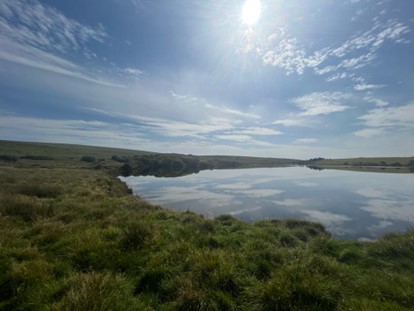
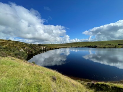
At the beginning of September 2023, Storm undertook a topographical survey in Bodmin, Cornwall to assess the connectivity between the Warleggan river and the adjacent reservoir. Commissioned by South West Water and contracted by Stantec, the purpose of this topographical survey was to primarily obtain data for conceivably re-instating the leat channel and new flow control structures, which will divide the water between the re-instated channel and reservoir. The current divide directs all the water into the reservoir and leaves the Warleggan River dry, this was a result of a breach in the river bank during a heavy storm. The topographical data was to be collected using high resolution lidar and was to be used to identify overland flow routes and channels and then targeted topographical surveys were to be undertaken in the areas deemed most critical. The resulting data was then to be interrogated and processed through Trimble Business Centre, then exported to be used in our CAD software, Carlson Survey 2022
The Challenge
With temperatures soaring to 27°c for the majority of the week in the late summer sun, the weather provided no help in aiding the completion the topographical surveys undertaken by the team of four Storm surveyors at the Hawks Tor site.
The fundamental challenge of this survey consisted with dealing with problematic and unpredictable terrain both in and out of the Warleggan channel due to the very nature of the flood plain as well as the porous soil type which occupies the south western peninsula of England – but this was no match for the four Storm surveyors who are primed to be working in these challenging conditions .
The Results
This topographical survey forms one component of a fully integrated surveying approach by Storm Geomatics. The topo will be used alongside a River Condition Assessment (RCA) and LIDAR surveys to inform our client of the best course of action to restore Warleggan River. Comparisons between the data sets showed good correlation which allowed a high level of confidence for scoping a successful river restoration project.

- Jamie Phillips
Trainee SurveyorRecent News

Do All Rivers Lead to Liverpool?

Geospatial Survey Delivery Across UK River Infrastructure
