Rapid Response to East Midlands Flooding
The Background
- Date
- January 2025`
- Client
- Environment Agency
The primary objective was to assess high-priority areas that had reported flooding, gather critical flood level data, and document evidence to support future flood management and mitigation strategies.
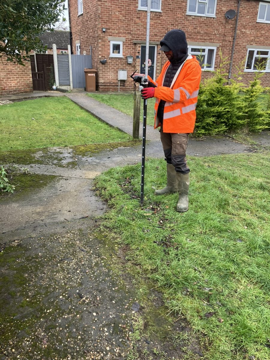
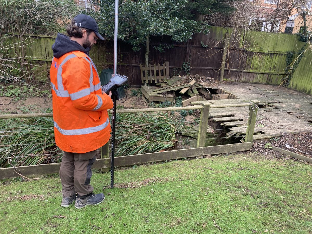
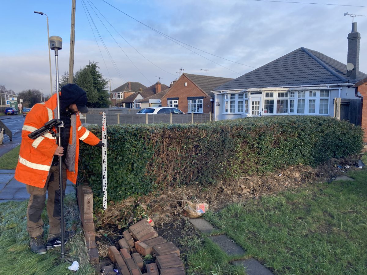
Two highly skilled survey teams, led by surveyor Caitlin Tonge, were mobilised across the East Midlands. Their mission was to visit reported flood sites, gather geospatial flood data, and investigate flood-prone areas for further evidence.
The Challenge
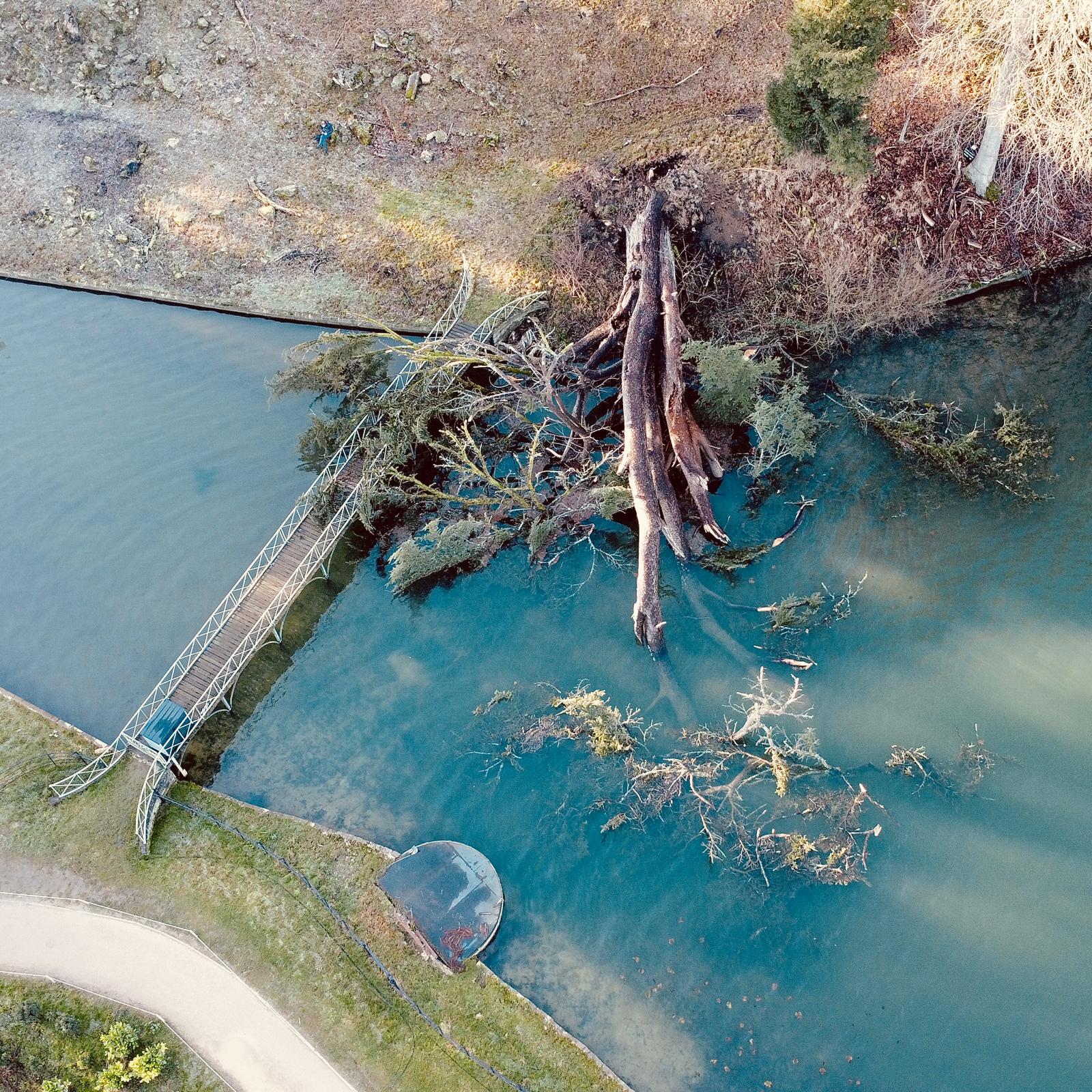
For emergency flood surveys, rapid response times are crucial. Flood evidence diminishes quickly, so deploying teams at short notice ensures that essential data is captured before it is lost. Storm Geomatics was allocated just 10 working days to collect as much flood-related data as possible.
Deployment and data collection strategy was paramount to the success of this project. Such was the urgency, Technical Director Anthony Pritchard took advantage of the manpower requirement to spend a day on operations with the team. His experience and knowledge was gratefully received by the trainee surveyor whom he worked with on that day.
To maintain operational efficiency, Storm implemented a streamlined real-time data processing system. Each day, an office-based surveyor processed incoming data from field teams while also managing updated EA information packs. This ensured:
- Seamless data integration between field and office teams
- Continuous site team support with up-to-date mapping
- Efficient coordination with the EA for prioritising high-risk locations
The Results
This approach enabled Storm Geomatics to maximise data collection and deliver results ahead of schedule, completing the project before the 31st January deadline.
Storm Geomatics is proud to collaborate with the EA, delivering high-quality geospatial data that plays a critical role in:
- Flood scheme development & planning
- Enhancing flood warning systems
- Improving flood event analysis
- Supporting affected communities
The Environment Agency was highly satisfied with Storm Geomatics’ efficiency and the quality of the data collected.

Recent News

Do All Rivers Lead to Liverpool?

Geospatial Survey Delivery Across UK River Infrastructure
