Services
Survey Control
Scroll
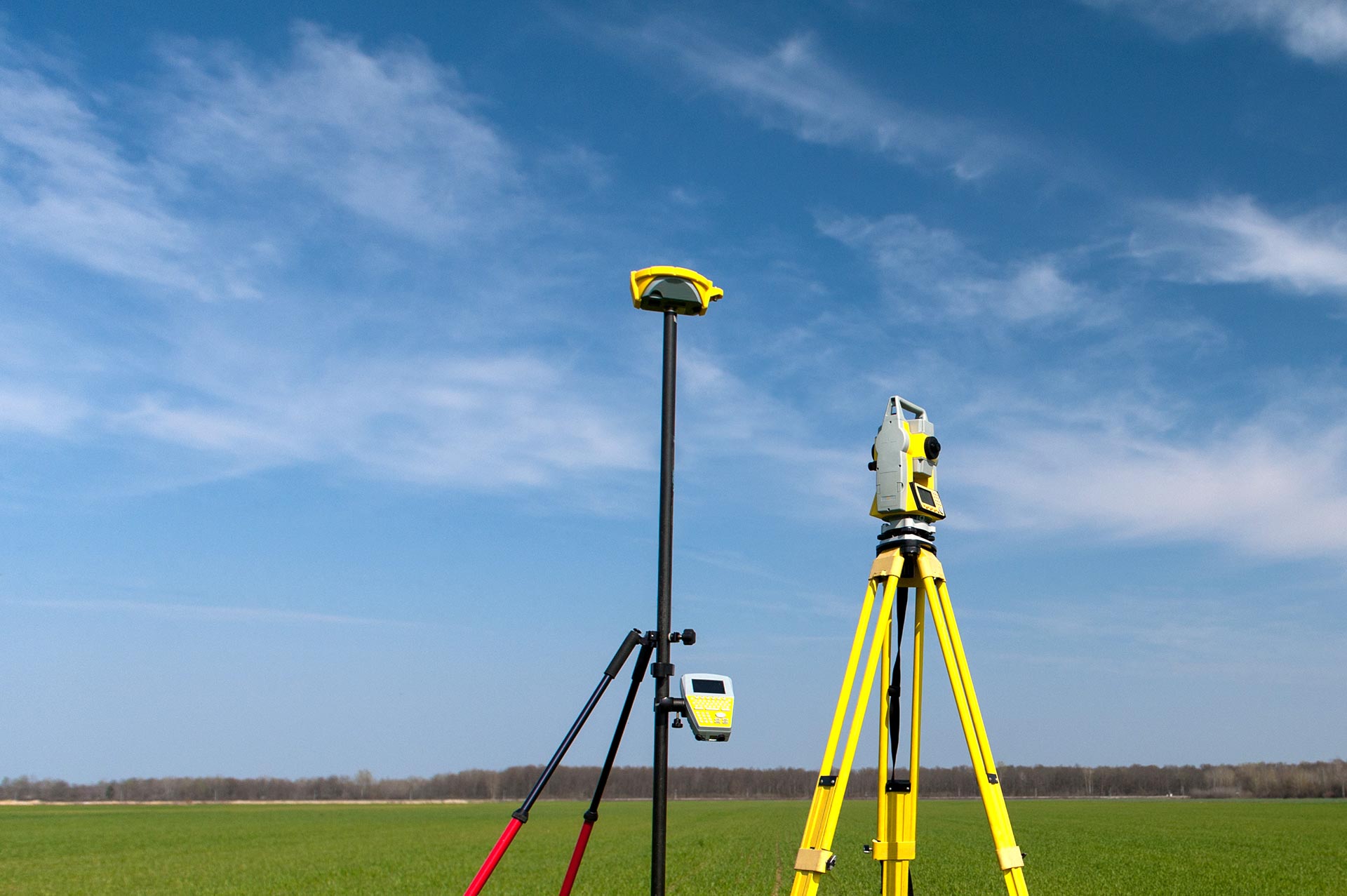
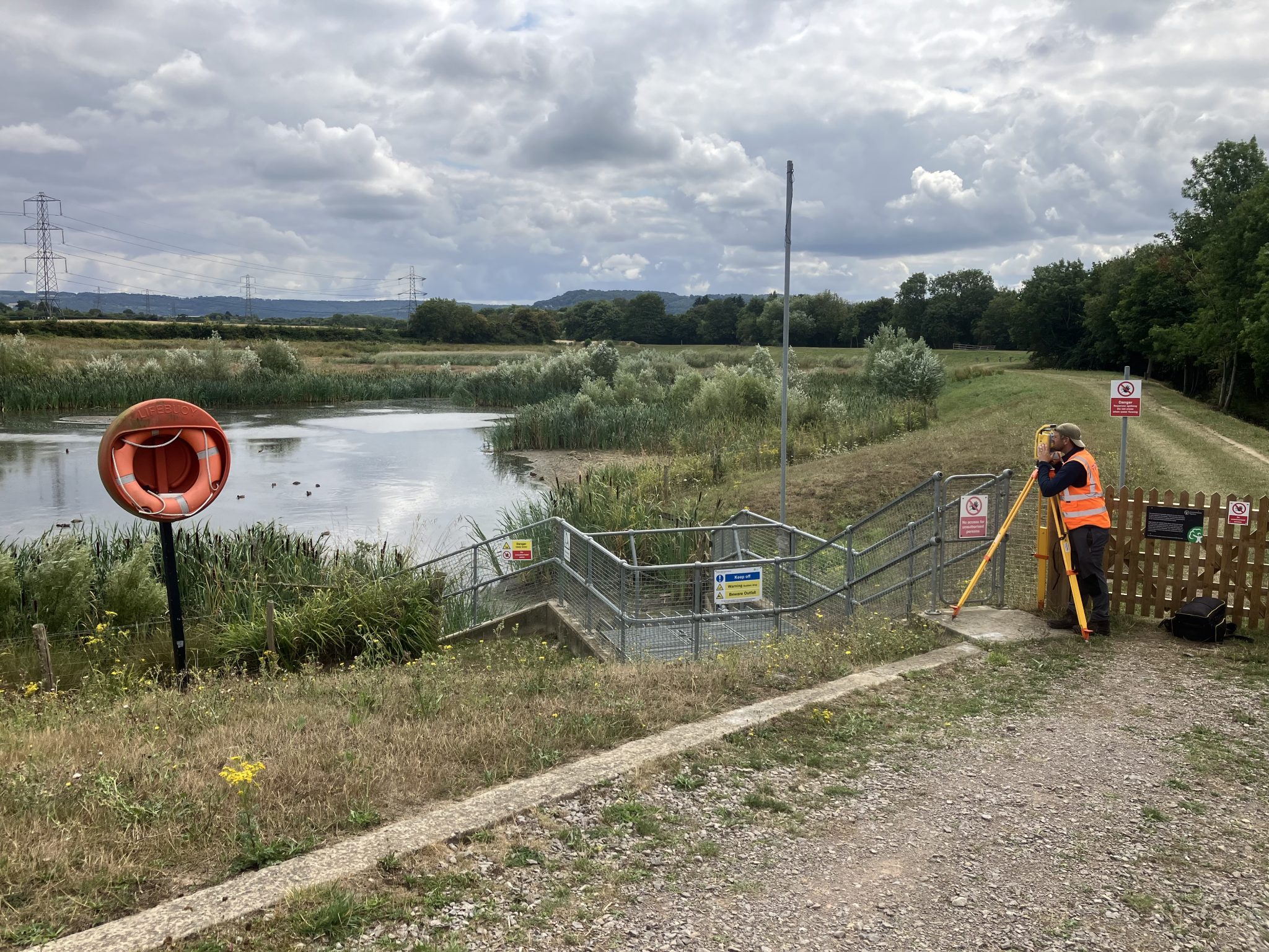
Storm Geomatics recognise that dimensional survey control is the backbone of any survey.
Great care is taken to provide the relevant accuracies suitable to the task in hand. Control networks can be established locally or across regions to any coordinate system. All primary control is presented on conclusive witness diagrams, or on templates at our clients request. When establishing primary control stations for a project, consideration is given to the following key criteria:
- Good sky visibility for GNSS use.
- Stable ground.
- Durable monument construction.
- Easily accessible.
- Safe to use.
Expert Tip
“Make sure your project starts in the right place and is dimensionally correct throughout its lifetime – specify the required accuracies and expected distribution of permanent control points when procuring survey work.”

Mike Hopkins
Managing DirectorFind Out More
Do you have a Survey Control project we can help with?
Call 01608 664910 or

Recent News

Do All Rivers Lead to Liverpool?
Hosted in the city of Liverpool for the first time, Storm Geomatics attended CWIEM’s Flood and Coast Conference and...

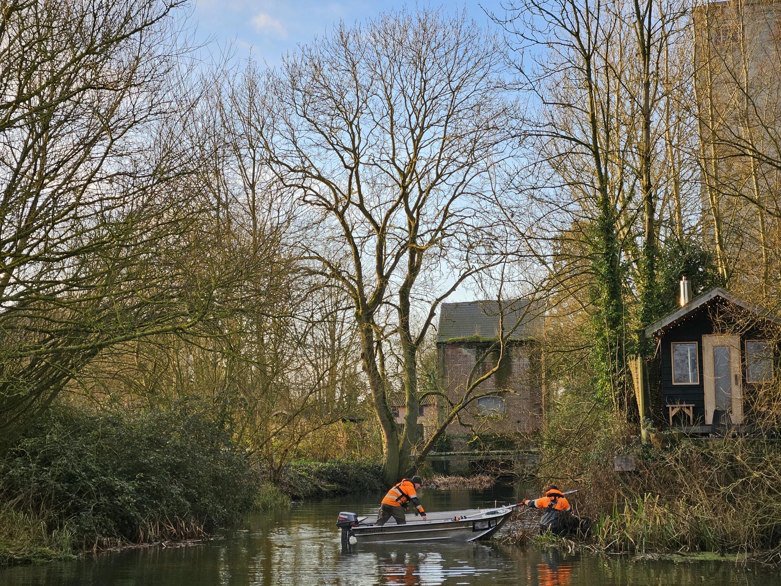
Geospatial Survey Delivery Across UK River Infrastructure
May has been a busy and productive month, with strong progress across key projects and continued delivery of “right...

Helping Clients Reduce Risk with Better Geospatial Data
The River Digital Twin® (RDT®) article series continued in April, with a focus on Stage 3: Live Environmental Sensor...