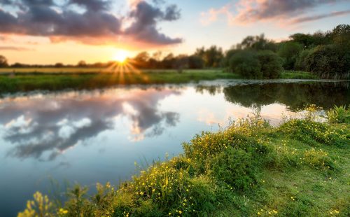
Some of the amazing projects we have completed.
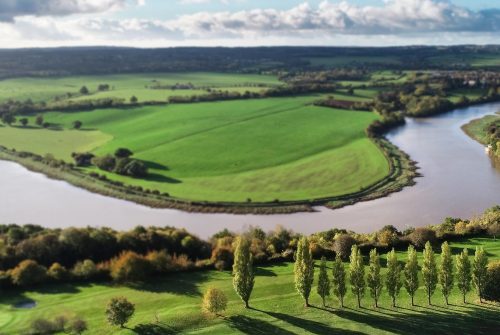
Oxygen Conservation, a leading environmental restoration organisation, commissioned Storm Geomatics to conduct a geospatial survey to inform the design of a river restoration project on the River Thet in Norfolk.
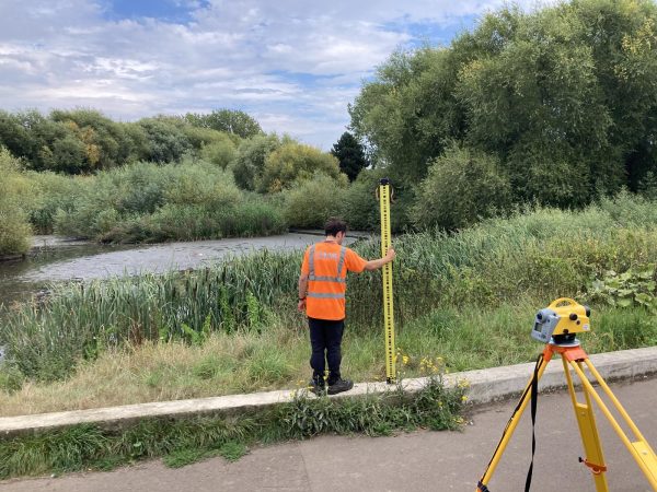
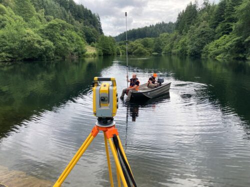
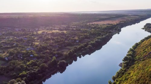
Over 22,824 of river channel was surveyed by Storm Geomatics along the upper reaches of the Neath catchment providing precision accurate topographic data.
Storm Geomatics provide Hyper-intelligent geospatial data: design effective interventions to support fish passage, enhance biodiversity & reconnect river processes.
Commissioned by our long standing client, Stantec to obtain a River Digital Twin ® of Waskerley Beck in Durham, the objective was to create a detailed ground model for a discharge impact analysis from Waskerley Reservoir.
Bungay Model Update
In response to the most recent flooding event in the East Midlands, the Environment Agency (EA) commissioned Storm Geomatics to conduct an Emergency Post-Flood Survey.
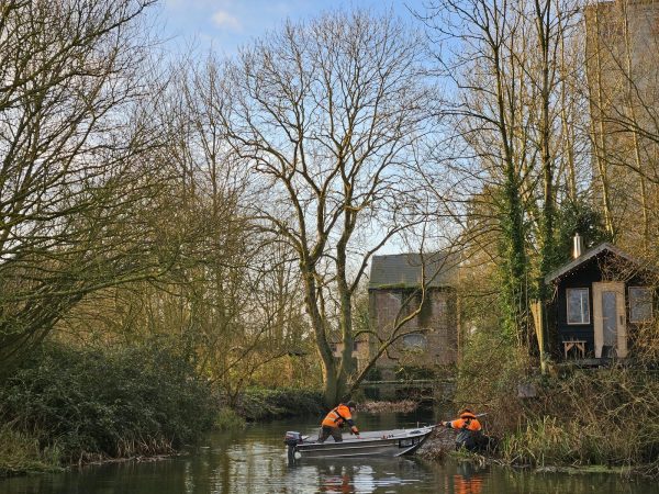
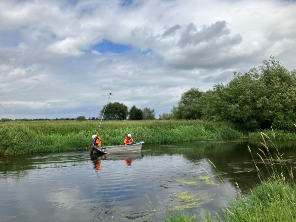
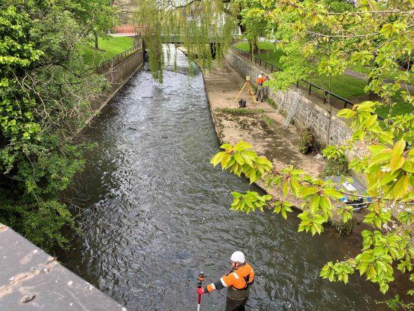
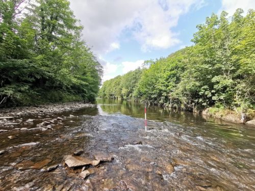
Storm Geomatics were tasked with undertaking a channel survey on the Rivers Stor, Chilt and Arun to assess the Flood Risk within the catchment area.
In late November, Storm Geomatics were tasked with producing yet another River Digital Twin® (RDT®); a service that is proving increasingly popular with clients. The project site was located in picturesque rural Hertfordshire on a section of the River Lea that meandered for 2km through farmland.
Storm Geomatics undertake a large scale asset condition and deformation survey of seven reservoirs in the West Midlands.
Storm Geomatics expertise in watercourse surveys was out to use for an urgent project where a channel bank collapsed. Precise measurements were required.
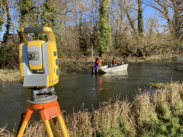
Storm were tasked with surveying the River Kennet and some of its tributaries to produce an accurate and comprehensive channel survey.
Storm Geomatics were tasked with carrying out a topographic and channel survey of large area of greenfield land in East Chinnock, Somerset
Storm Geomatics were tasked to conduct a bathymetric survey of a near 10km stretch of the River Idle, this required soft & hard bed levels cross sections at 25m intervals.
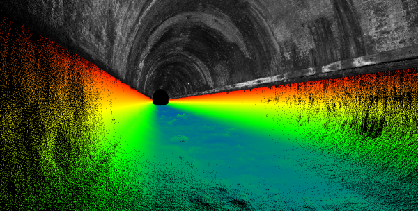
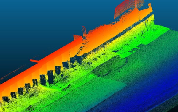
A complete georeferenced 3D model of the tunnel was requested by Canal & Rovers trust. This model would serve as a baseline for monitoring cracks, defects, and structural movement.
A recent project in Somerset of a multifaceted area requiring intricate planning and design interventions.
Springtime vegetation proves testing for Storm Surveyors but experience & training shines through.
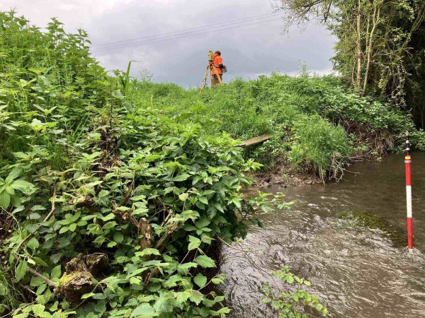
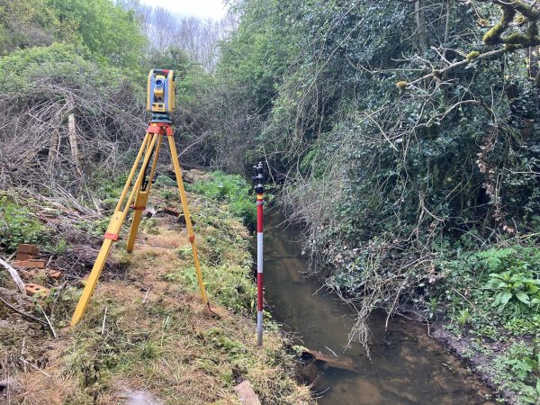
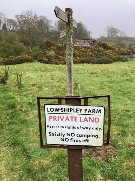
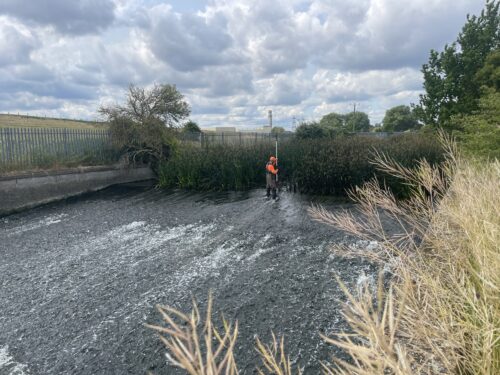
When undertaking a river survey the importance of land access cannot be overstated.
Installation of syphon pipe into Gouthwaite Reservoir, Yorkshire
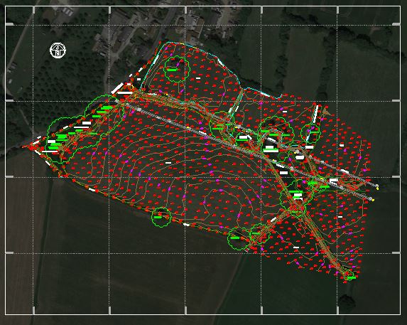
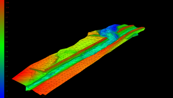
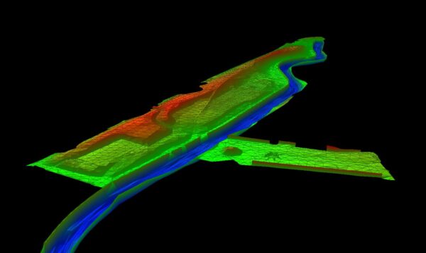
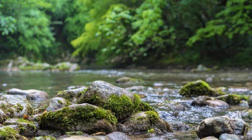
Digital terrain model of the riverbed.
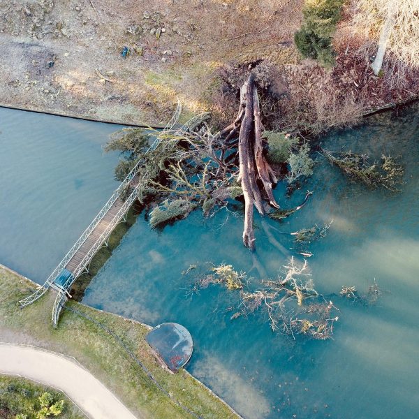
Storm surveyors assess and record damage to river embankments caused by Storm Babet.
In February Storm’s specialist survey team completed their fourth visit to Scotland to carry out further investigation surveys for the RiverEye project. Storm are working in partnership with JBA Consulting.
Storm Geomatics carried out a bathymetric survey of the Bristol canal as the area is due to be regenerated in the near future.
Completion of River Digital Twin for River Test is near completion as surveyors return to site.
Storm RPAS team returned to Lower River Test Nature Reserve to capture data without dense summer vegetation.
Storm Geomatics undertake Channel and Topographic surveys to assist in planning of regeneration project for Bristol City Council
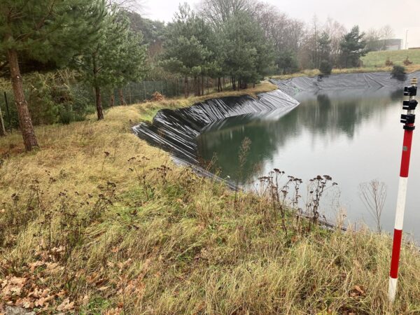
Storm Geomatics deployed to survey a collection of ponds to assist as to why the water was not properly soaking away, causing a breach of the northern bank and discharge onto the adjacent rail line.
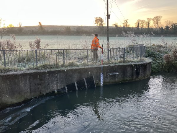
Storm Geomatics were contracted record the height of the peak flood water from flooding, caused by Storm Babet.
A local survey for Storm, carrying out a check survey on the River Avon from Kenilworth to Leamington Spa.
Storm undertook a topographical survey in Bodmin, Cornwall to assess the connectivity between the Warleggan river and the adjacent reservoir.
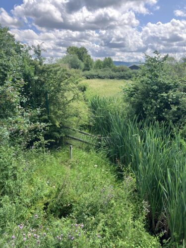
River Condition Assessment on the Warleggan Leat, Bodmin
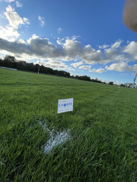
Outside of our usual water based surveys Storm often support the local community providing our knowledge when asked. One is example is using geospatial technology to set out rugby pitches for the new season.
In July 2023, a bathymetric survey was instructed by JBA consultancy working on behalf of Forestry England. Four Lakes situated within the North York Moors National Park and three within Dalby Forest.
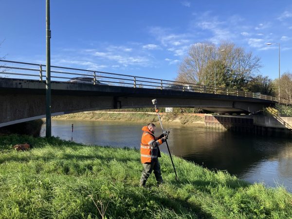
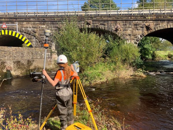
Storm combine different survey techniques to provide critical data for river improvements.
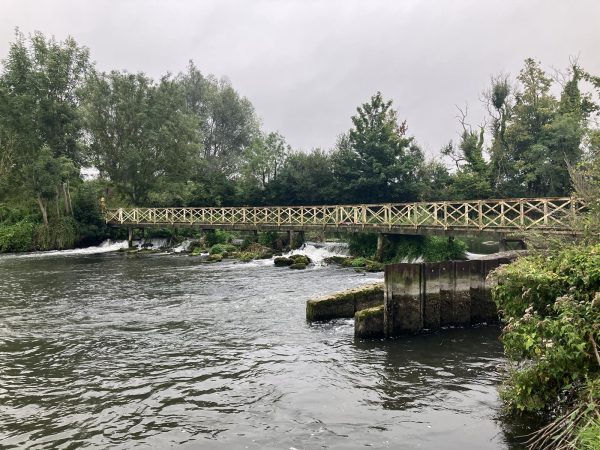
This is a fascinating case study showing how our surveyors physically assess a river and use the MoRPh survey algorithms to inform scenarios that improve river condition even after the negative impact of the construction of a bridge.
This project was contracted by Storm’s long-standing client Waterco on behalf of the Isle of Anglesey Council to investigate flooding that had occurred (and is still occurring) the properties in the village of Benllech, Anglesey.
Storm Geomatics’ survey of Bromham Brook near Stagsden was conducted during December 2022, for SWECO UK Ltd, to determine the flood risk of areas adjacent to the brook.
Storm Geomatics were tasked with tracing fuel pipelines at various locations across the country from Gatwick to Bristol where the pipelines cross rivers for an international client.
In late 2022, Storm Geomatics were asked by their client Atkins Global to carry out a bathymetric survey up and down stream of a site on the River Avon in Chippenham, Wilshire.
Our home, planet earth, is dying. It is difficult to avoid hearing this statement if you read the papers or watch television.
This watercourse survey was conducted on behalf of the Environment Agency through Storm’s long standing client JBA Consulting Limited during Autumn 2022.
Check out the VLOG series of the River Stour survey project here.
In August 2022, the survey was instructed by a consultancy working on behalf of Yorkshire Water.
Between January and April 2022 Storm Geomatics were commissioned to Survey the Lower Witham area in Lincolnshire.
In late 2021 Storm Geomatics visited the site of Springwater Park, Bury, to assess a potential monitoring survey for a vegetated area of the park suffering bank slippage.
Between July and November 2021, Storm Geomatics undertook a survey in the Rhondda Valley for Natural Resources Wales on behalf of engineering consultancy ARUP.
In early spring 2021 Storm Geomatics were approached by an existing client to carry out topographic & bathymetric surveys on the River Aire at Newlay to provide information for asset recovery works.
Using hydraulic modelling to evaluate the change in risk of flooding as a result of constructing the Lower Thames Crossing.
Flood risk assessment commissioned to tackle Tregarons wet history; surveyed in seven days by Storm Geomatics.
Higher accuracy flood zones on the way for River Bela catchment!
One of Storms regular customers had been commissioned to design a fish pass at Pont Y Ceunant on the Afon Hirnant and develop a hydraulic model to assess flood risk of the the proposed options.
Do you have a project we can help with?
Call 01608 664910 or
Follow our wet ‘n wild adventures in our monthly newsletter!
SIGN-UP HERE >