The Horsbere Brook Flood Alleviation Scheme (FAS) emerged as a response to the severe flash flooding that affected 350 homes in south Gloucestershire in 2007.
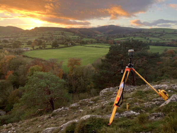
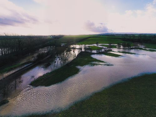
Storm Babet hit and Loggerheads Country Park, in North Wales, experienced an extreme case of flooding prior to our scheduled site visit in October 2023.
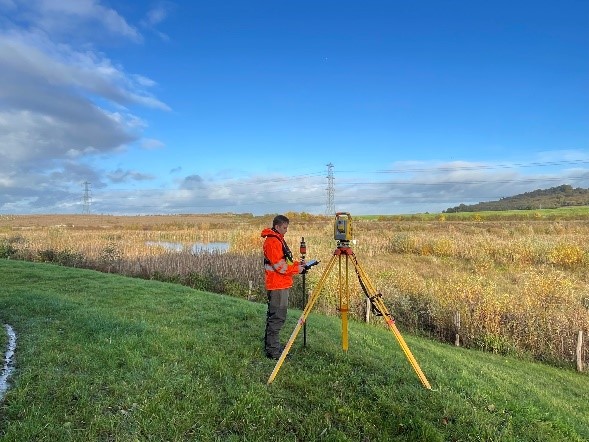
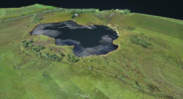
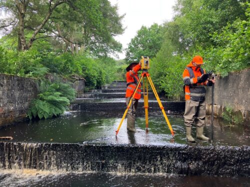
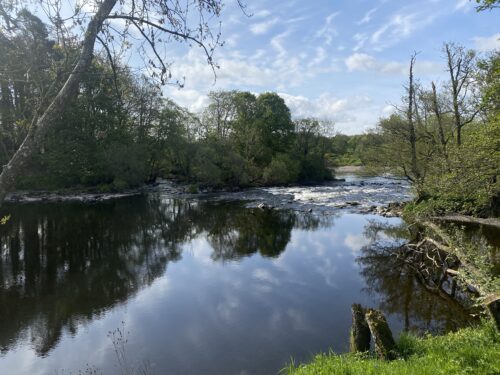
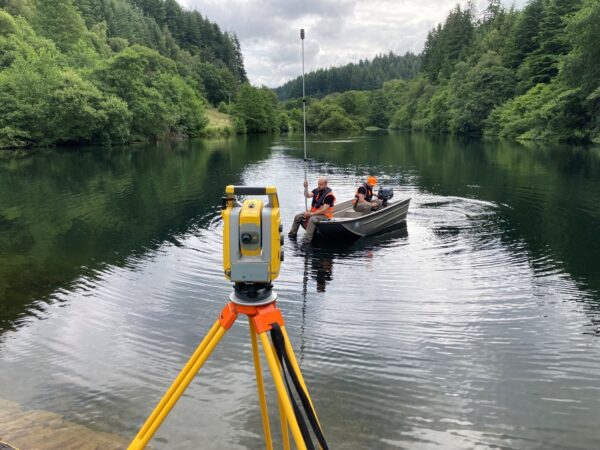
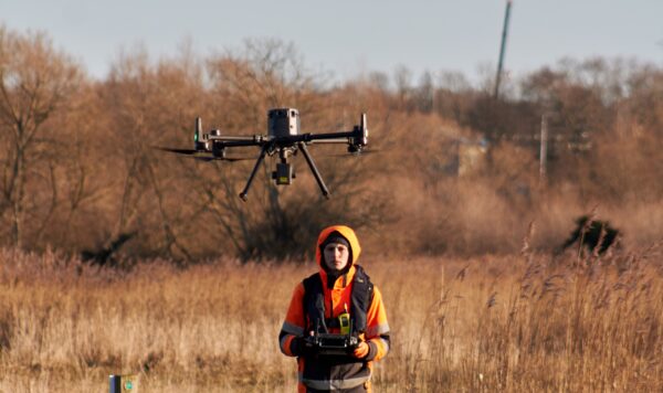
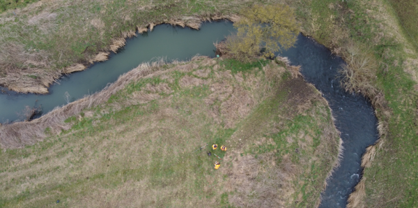
Storm’s Surveying teams were deployed on Remotely Piloted Aircraft Systems (RPAS) surveys, River Condition Assessments, Bathymetric and Topographical surveys across the UK.
During this late summer period Storm Geomatics surveyors are across the UK on a variety of challenging projects.
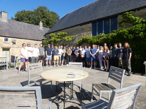
However, amid the busy schedule Storm enjoyed a day of fun, new skills and team success.
Coupled with intermittent sun and mild temperatures in July the increase in foliage proved challenging for Storm’s surveying teams. Storm’s investment into advanced technology greatly assisted surveyors to meet deadlines and keep deliverables on track. Ensuring all client’s projects were delivered to schedule.
In late June Storm were delighted to receive notice from The Chartered Institute of Civil Engineering Surveyors that they were winners of an Approved Development Scheme award for geospatial. The CICES Education, Professional Development & Membership Committee judged Storm Geomatics to have made the most progress with the scheme over the past two years. This […]
The annual Geo-business conference rolled around again this May and as always, the Storm Geomatics team made a strong appearance. It is a fantastic chance to see what the future of the geospatial profession has in store and mix with their professional peers. This year there was a particular focus on determining which LiDAR […]
It is intended that Storm are to expand their RPAS capabilities and their specialist team spent April trialling various lidar and photographic sensors from a RPAS.
Surveyor James Mayers led a 4-man team to Yateley, Berkshire this month
How to Get Ready for the UK Water Restoration Fund: Start with a Survey
This quick read highlights the most common & costly mistakes seen during a river survey procurement journey:
Information and Growing Guide (by advice from Emorsgate Seeds) Description Oxeye daisy is a familiar and attractive grassland perennial and our largest native member of the daisy family. It has a medium tall un-branched stem topped by a solitary composite flower of white rays (petals) surrounding a yellow disc floret. Once you become familiar with […]
“Off the shelf” survey specifications should be a thing of the past, because engineers who reply on these will not receive the best value for money.
Surveyors utilise a range of surveying equipment to measure the profile of the water course at regular intervals, referred to as cross sections.
All of our drone pilots are highly qualified professionals holding their GVC and A2 CofC licences.
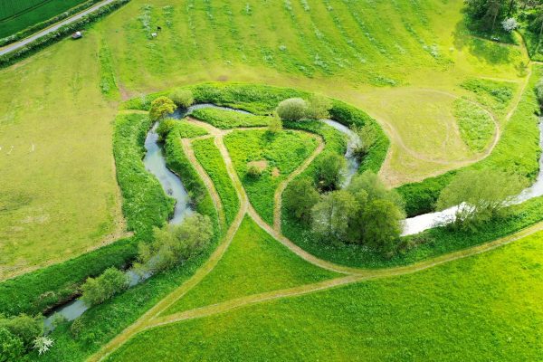
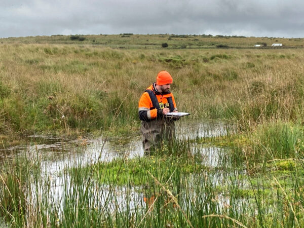
What is River Condition Assessment (RCA)?River Condition Assessment involves a field and desk based survey to assess the condition of a watercourse. Biodiversity Net Gain (BNG) is expected to become mandatory in Winter 2023 and an RCA will be required if a watercourse falls within a development site boundary.What Storm Geomatics can offer you?Storm Geomatics […]
A collaboration of two expert companies explain why a Flood Risk Assessment keeps your project on track to be successful at the planning stage through good data in an exclusive webinar. What are the main considerations when undertaking a FRA? How will procuring the a survey ease your pains? This process was explained step by step […]
We have sponsored a home work project with Get Kids into Survey. Our mission is to ensure every young person knows about surveying as a career
Do you have a project we can help with?
Call 01608 664910 or
Follow our wet ‘n wild adventures in our monthly newsletter!
SIGN-UP HERE >