Marvellous Recognition for Storm’s CICES Approved Development Scheme

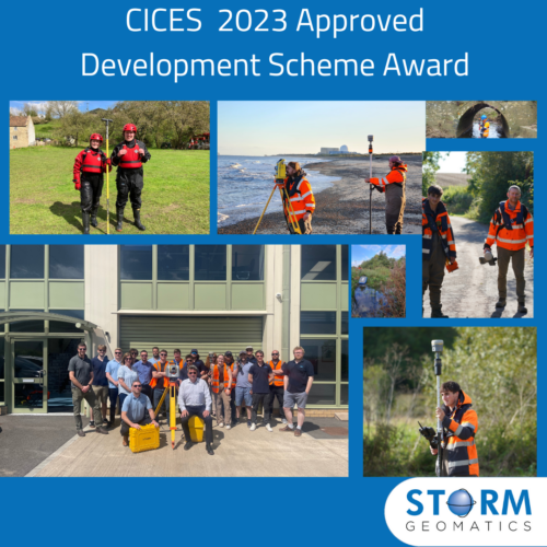
In late June Storm were delighted to receive notice from The Chartered Institute of Civil Engineering Surveyors that they were winners of an Approved Development Scheme award for geospatial. The CICES Education, Professional Development & Membership Committee judged Storm Geomatics to have made the most progress with the scheme over the past two years. This came as a huge boost for Storm, that their professional body have confidence in their training and professional development of the team. Storm strongly believes that both investing and training their surveyors is paramount to setting them apart as the lead company for river surveys in the UK. Storm looks forward to receiving the award at the annual CICES dinner in September. Thanks must go to Anthony Pritchard for his management of the scheme and to the dedicated candidates from Storm who have or are undertaking this accreditation.
https://www.linkedin.com/feed/update/urn:li:activity:7084107401959759872
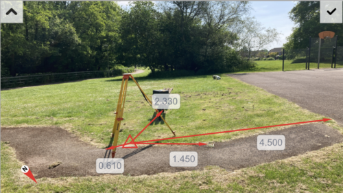
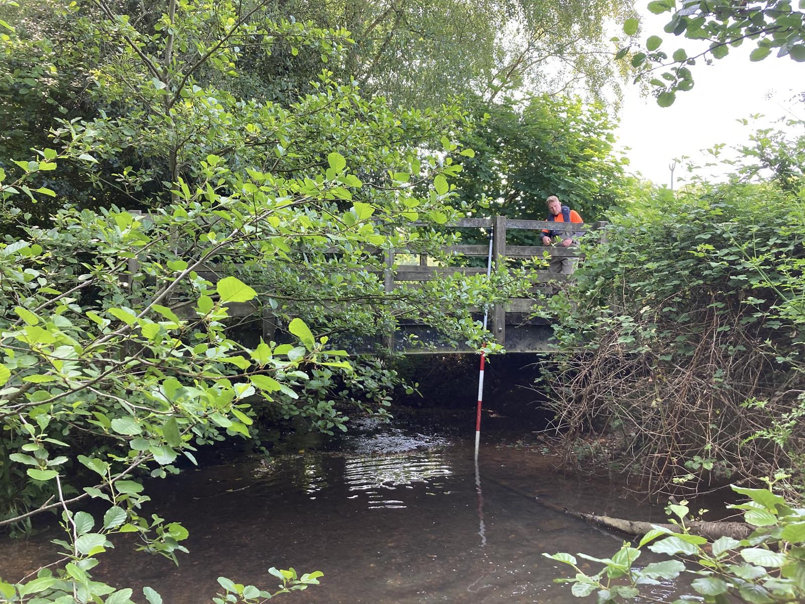
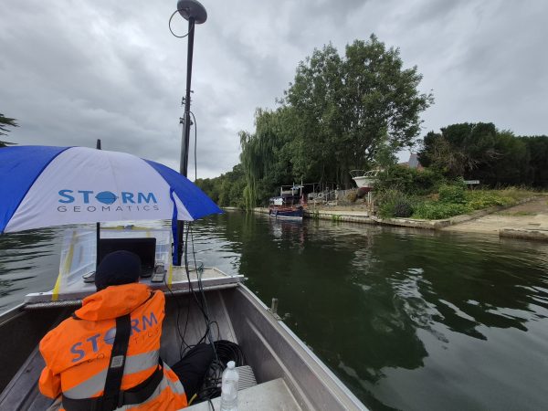
Monks Brook and its tributaries is a channel survey project for Storm’s long-standing client JBA Consulting. Commissioned by JBA for the Environment Agency , the survey will be used to produce a new flood model for the watercourse adding to the model that was previously completed in 2004. Led by Surveyor Sam Dexter the project has involved several teams of surveyors from Storm to ensure the schedule is kept on track, it has taken place throughout June and continues into July.
The survey spans Monks Brook plus 18 different tributaries, a 2km top of bank level survey and a complete control network of 17 Environment Agency control stations to E5 & E6 grade. Over the past 6 weeks up to 4 separate teams have been operating in the area at any one time. Precise planning allowed for the survey teams to have clear areas on where to work and with the expansive amount of reaches this needed to be achieved to avoid duplication of cross sections.
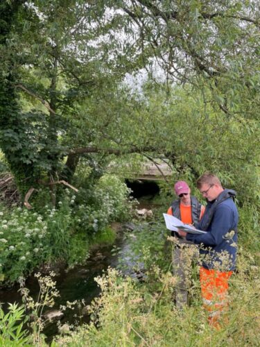
The location of the Monks Brook survey is Chandlers Ford, Southampton a leafy suburb, which caused many difficulties when attempting to access the channels. Dense overhead vegetation meant the surveyors needing to use a variety of techniques such as traversing down the channel and woodland paths to overcome the lack of sky visibility for GNSS positioning. The area has many residential properties, and parts of the river through people’s gardens and driveways. Storm Geomatics, therefore had to send out an extensive amount of introductory letters to inform the landowners that the survey was taking place. This led to head office being inundated with phone calls and emails to arrange access at specific times. Survey coordinator Paul Nicholls and lead surveyor Sam had to effectively communicate and make detailed notes to efficiently schedule the survey teams to liaise with the community. It has been a challenging survey with the warm weather, dense vegetation, difficult access, and long working days, but the whole team has persevered.
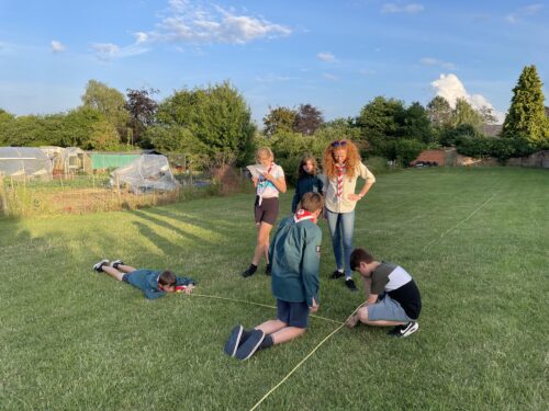
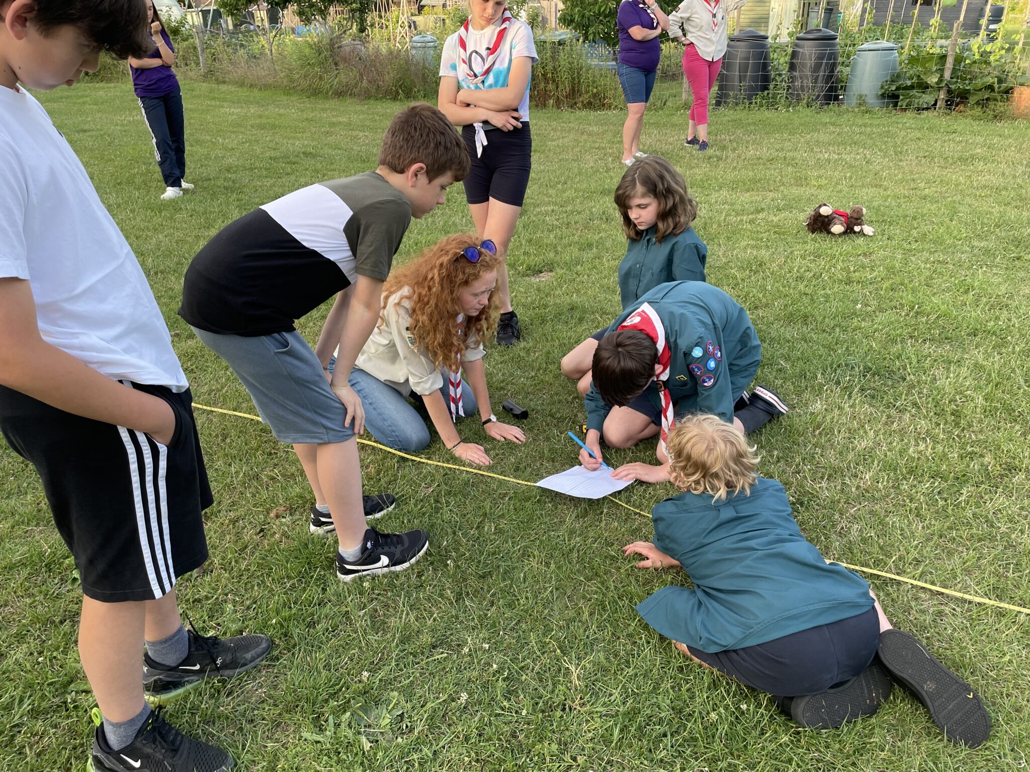
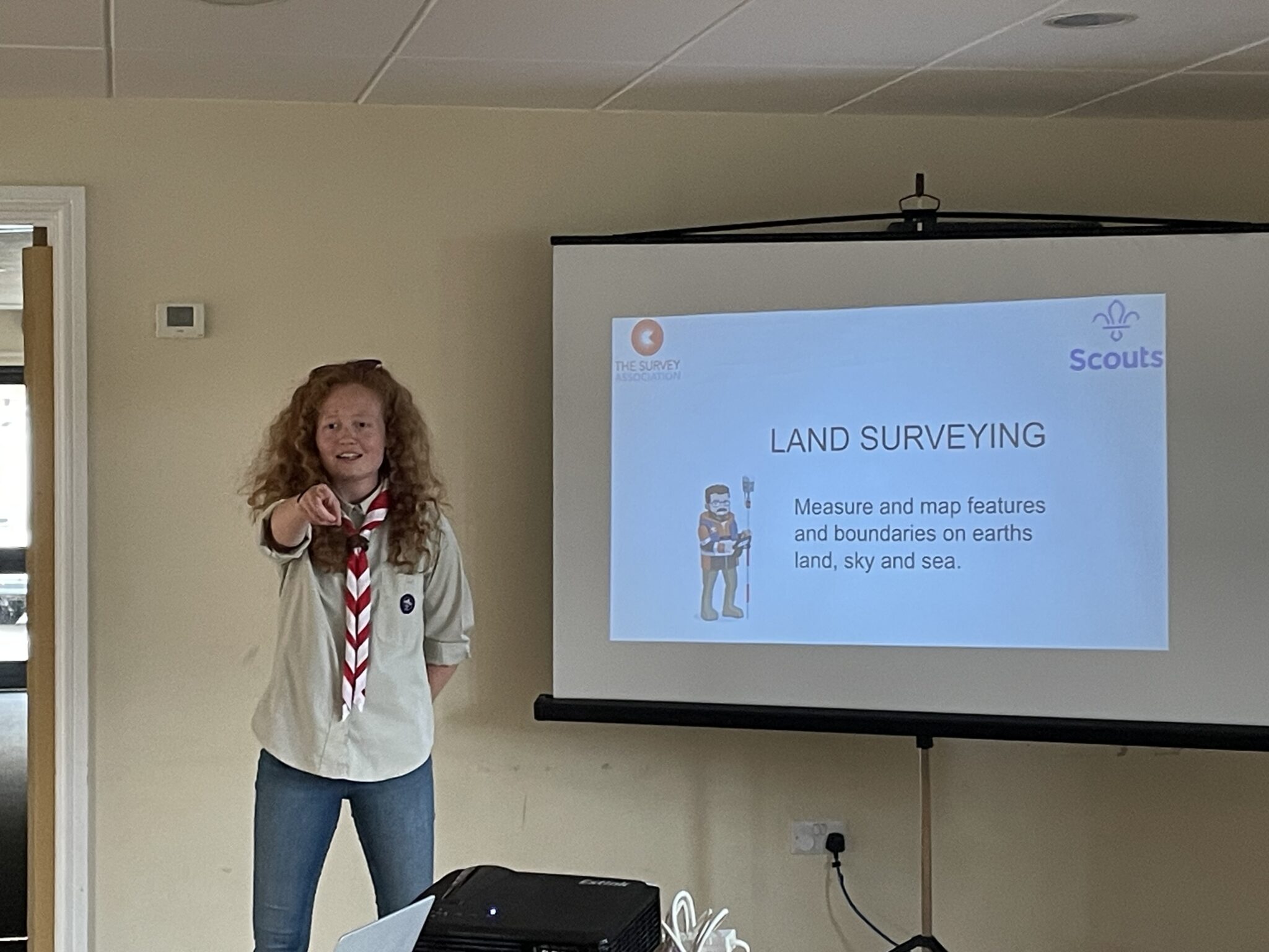
The Survey Association tasked Storm Geomatics to ignite one of their vision statements “Every young person should know about surveying as a career”. The idea was to join forces with The Scout Association and introduce land surveying to them through fun and relevant activities. Taking the lead on this was Junior Surveyor Caitlin Tonge who herself was a scout and is now a scout leader at Storm’s local pack in Shipston on Stour, Warwickshire. Caitlin delivered a short presentation to the scouts explaining the importance of surveyors in the world. The activity involved a simple offset and chainage exercise with the scouts then putting their mobile telephones to good use with What Three Words to establish their exact grid reference. It is hoped that other survey companies will deliver the same exercise across the UK to help make the TSA vision a reality.
Back in May six members of Storms surveying team began the River Condition Assessment (RCA) training and throughout June continued to make great progress. The course is designed to teach individuals the tools and methodologies developed to assess the condition of rivers, streams, and canals as part of the watercourse unit within The Biodiversity Metric and the calculation of Biodiversity Net Gain.
The course is produced and delivered by a range of industry experts over a period of six weeks and is assessed on a combination of desk/formal study and field survey work. The river condition assessment method and training will provide the in-depth knowledge and software tools to enable the baseline assessment of River Condition together with scenario modelling for target condition, as needed for Biodiversity Net Gain reporting. On successful completion of the course, members will receive RCA accreditation and will soon be out creating real impact in and around British waterways.
Sam Middlecote explains in more detail follow him on LinkedIn Samuel Middlecote to discover more. Do look out in the coming weeks for a detailed case study on a recent project that will offer you a full explanation how Storm can add value to your development project.


Other News

Geospatial Survey Delivery Across UK River Infrastructure
From Reservoirs to Riverbeds: July Survey Stories