Stormin’ Fun in the Sun
During this late summer period Storm Geomatics surveyors are across the UK on a variety of challenging projects.
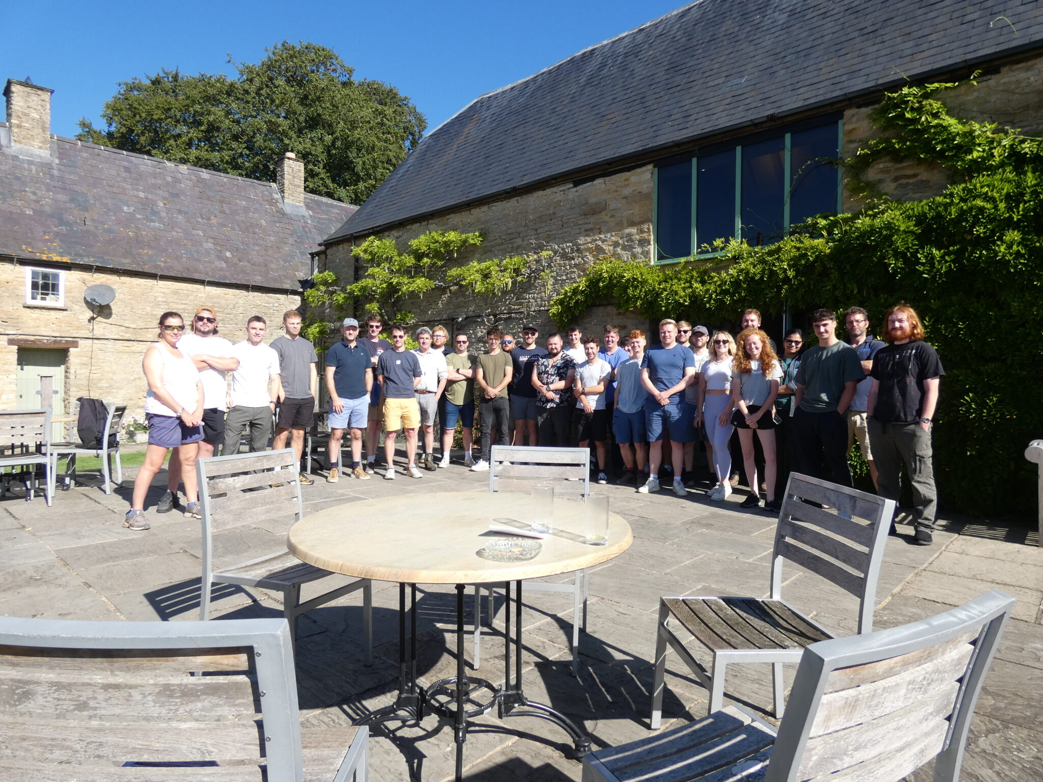
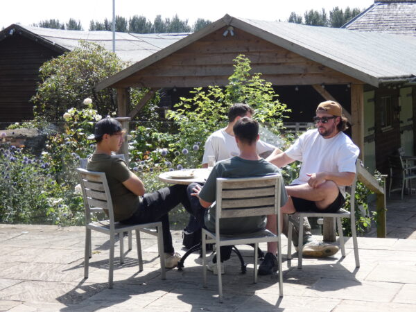
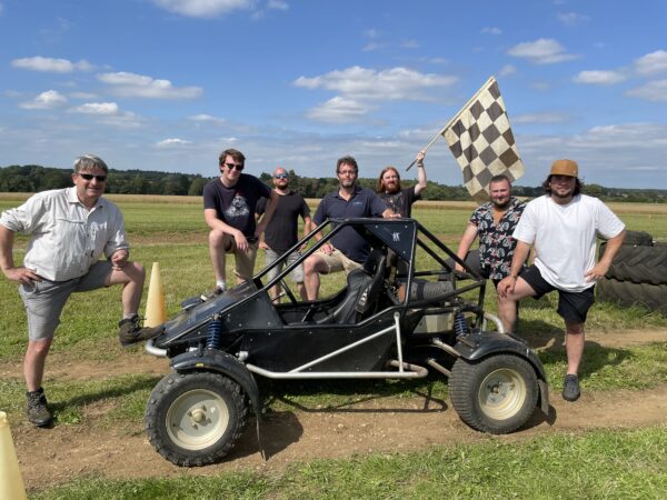
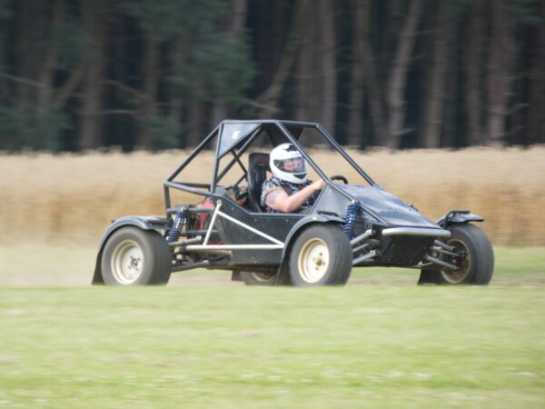
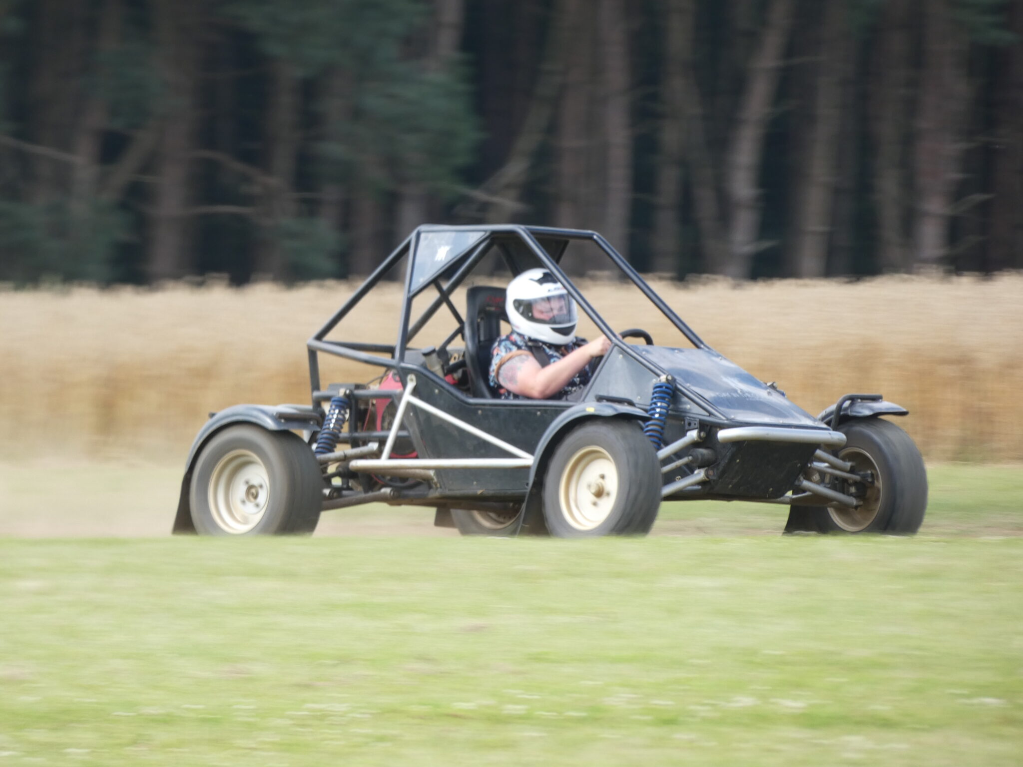
However, amid the busy schedule Storm enjoyed a day of fun, new skills and team success hosted by The Great Barn (A Day in the Country), Oxfordshire. A day filled with adventure, learning and teamwork was enjoyed by the whole company. Experiencing the exhilarating fun of buggy racing to lateral thinking required to complete the Crystal Maze challenge. The importance of lending an ear to everyone’s opinion before decision is made certainly shone through as a success tactic. It was very rewarding to see everyone relax and enjoy each other’s company throughout the day. The day out was more than great fun it was a platform for learning, building stronger team ethos and paves the way for a more connected team.
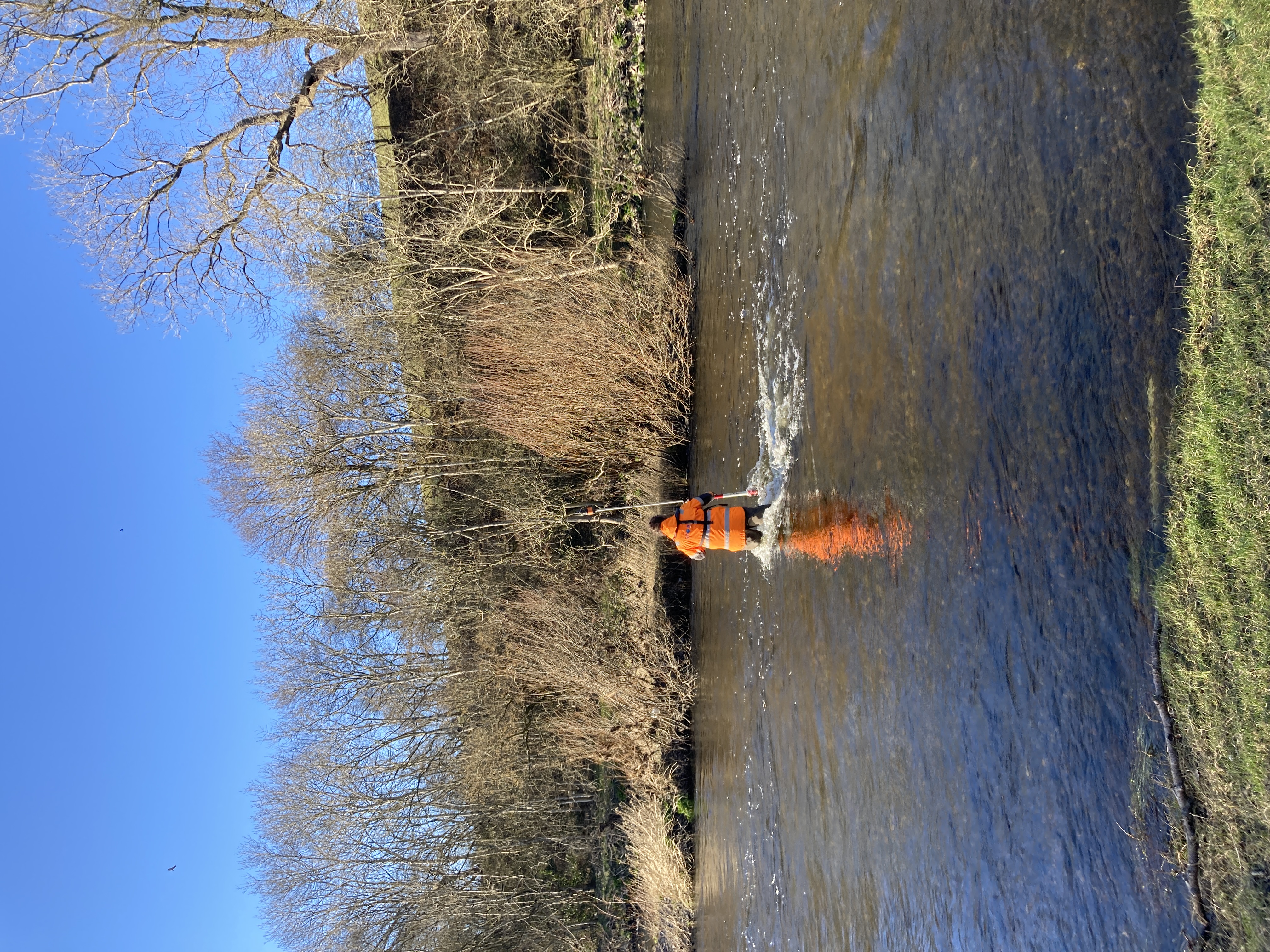
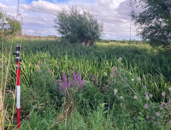
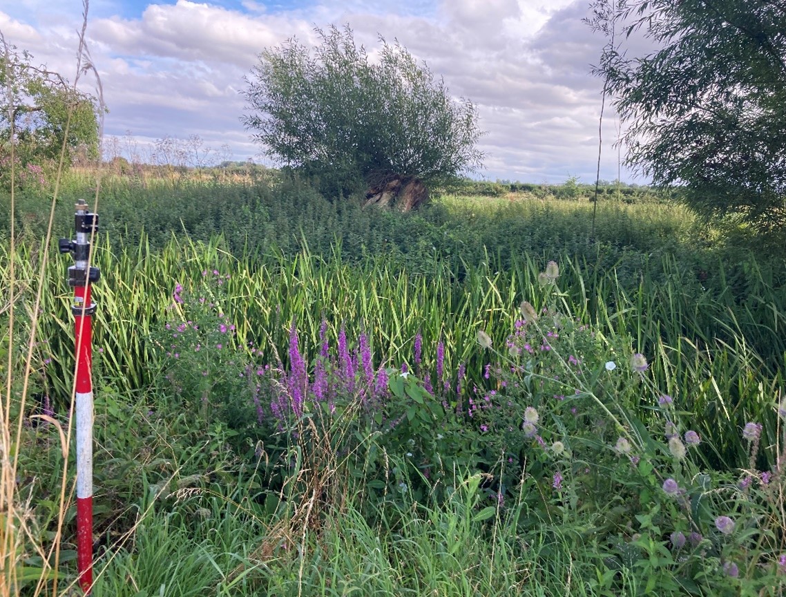
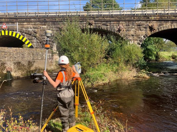
In early August, Storm mobilised a two-person team to undertake a channel survey, that will form part of a complex site survey and included topographical and ecological studies to assess the viability of the area for solar panel installation. Certain areas of the river channel had dense vegetation meaning difficult access, however, using the Trimble R12i and TSC5 ensured all data was captured efficiently. Collaborative working with Storm’s client led to the survey being completed ahead of schedule on site. The data was then processed through GeoRiver® software and exported into the required hydraulic modelling format, Flood Modeller Pro. Storm now look forward to client feedback to see how their data will help complete the project.
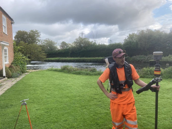
Meanwhile, a multi-team approach is being applied to a survey taking place on the River Test in Hampshire, commissioned by Southern Water to best inform them of water flows and levels across different seasons. Storm have adopted a holistic approach to this project to include both traditional survey methods of cross section wading and Remotely Piloted Aircraft System (RPAS) survey. All these survey methods will contribute to the creation of a River Digital Twin which is a full 3D digital replica of the river and its surroundings. To find out more https://www.storm-geomatics.com/service/river-digital-twin/
This world-renowned chalk stream river has offered Storm Surveyors an incredibly scenic office whilst on site and they have working collaboratively with local gillies to leave the lightest footprint possible while capturing the data. Further survey work will be carried out during the winter months as this will produce better a better ground model owing to less foliage and tree canopy. A bathymetric survey will also be carried out at this time as it is out of the main salmon fishing season and the aquatic vegetation will have died back, allowing the interferometric sonar to map the riverbed.
Also, during August a group of senior surveyors and management staff spent a day updating their safety skills with our trusted training provider Bristol Maritime Ltd. This ensures their DEFRA 2 Working in Water Qualification is up to date. ALL Storm Geomatics site staff are qualified to this level.
DEFRA 2 Flood and Awareness Training
As August comes to an end and the autumn days bring less foliage and hopefully a drier period of weather Storm are set to continue their quest to help reduce flooding through innovation, measurement and understanding, keep checking into all our social media channels to keep up to date with our wet n wild adventures.

Other News

Helping Clients Reduce Risk with Better Geospatial Data
Pioneering River Digital Twin® Innovation and Optimal Survey Season Insights