Collaborative Survey Techniques offer Next Level Solutions
September 2023 brought a varied order book of projects for Storm Geomatics. Surveying teams were deployed on Remotely Piloted Aircraft Systems (RPAS) surveys, River Condition Assessments, Bathymetric and Topographical surveys across the UK for clients old and new.
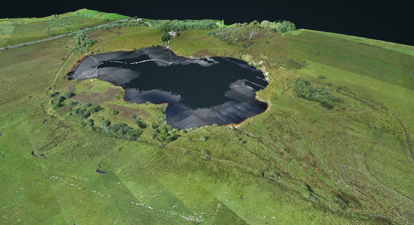
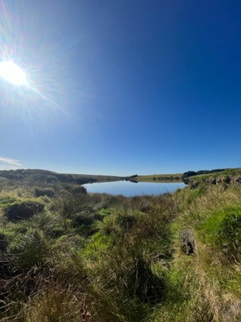
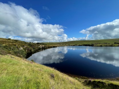
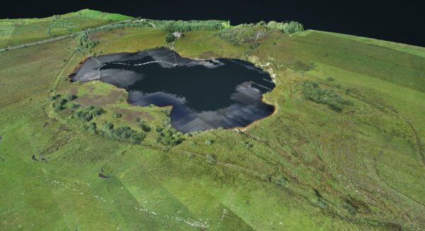
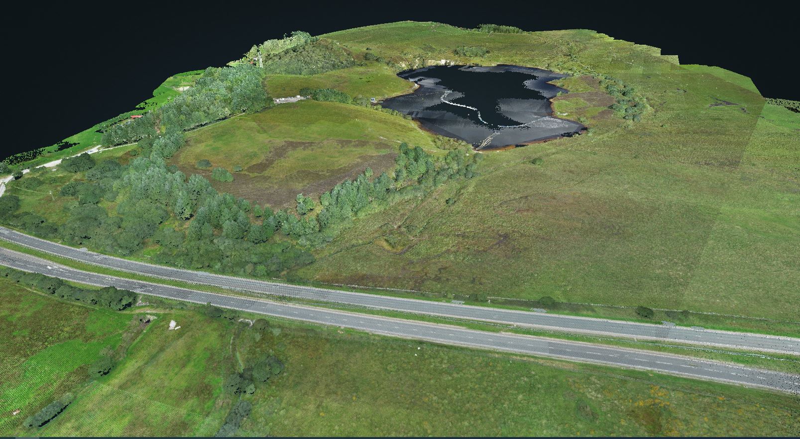
At the beginning of September Storm undertook a topographical survey at Hawks Tor in rural Cornwall to assess the connectivity between the Warleggan River and the adjacent reservoir. the purpose of this topographical survey was to primarily obtain data for conceivably re-instating the leat channel and new flow control structures, which will divide the water between the re-instated channel and reservoir. This divide has occurred because of a historic breach in the river channel meaning that water now flows through the reservoir, thus causing the Warleggan leat channel to the East to be predominantly dry. The fundamental challenge of this survey consisted with dealing with problematic and unpredictable terrain both in and out of the Warleggan channel due to the very nature of the flood plain as well as the porous soil type which occupies the southwestern peninsula of England. More details can be found in the relevant case study. https://www.storm-geomatics.com/case-studies/collaborative-topographical-surveys/
Alongside this topographical survey a RPAS survey was also commissioned. The data which was obtained from the four ground-based surveyors taking topographical survey using GNSS ultimately mirrored the data taken from the Lidar sensor on the Remotely Piloted Aircraft (RPA). Comparisons between the two data sets were good enough for the client to use the combined data to explore the best outcomes for the project. Colourised lidar data was instantly accessible to the client via a link to Storm’s Linux server where the data was presented on an easy to use WEB based point cloud renderer. The client was able to create cross sections anywhere on the site and export to 3rd party software.
In addition a River Condition Assessment was undertaken by Storm’s expert team. This case study is also available to provide more information how this completes the survey components of this project. Tough Terrain No Match For Storm
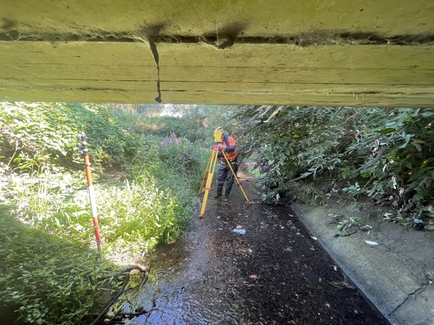
Another team of surveyors undertook a topographic and channel survey in Portsmouth to investigate the possibility of stripping back the concrete riverbed to its natural state, they encountered notable challenges during the survey. One particularly demanding stretch of the river presented a 2-meter-tall palisade fence, densely vegetated banks, and steep concrete banks. These obstacles posed difficulties in establishing reliable resections, which is fundamental to the accuracy of the survey. To address this issue, the surveyors resorted to traverse approach, utilizing PK nails positioned at approximately 10-meter intervals, with line of sight to each adjacent nail. This method allowed them to construct a closed traverse, maintaining data accuracy. The project’s outcome provides Atkins with the essential data required to make informed decisions regarding the river’s concrete bed, contributing to environmental sustainability and the preservation of natural ecosystems.
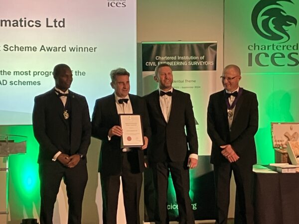
The end of September was a time for celebration at Storm Geomatics. Mike, Anthony, and Polly travelled to Manchester to attend the CICES annual dinner. This year Storm was delighted to collect the Award for the best contribution to the Approved Development Scheme (ADS). The award recognises the contribution that companies with an ADS make to the institution. Our scheme was judged to have made the most progress of the geospatial ADS over the last two years. The award letter detailed, “the company’s wholehearted enthusiasm for CICES and staff development. I have been really impressed with how you have embraced the competencies and the career progression they provide staff, as well as numerous other initiatives your staff are involved in.”
Many congratulations go to Toby Moyse and his new wife Steph who celebrated their wedding day in the autumn sunshine at a local venue. Storm wish Toby and Steph a very long and happy life together. Whilst Toby enjoys a very well-deserved rest on his honeymoon please contact anthony.pritchard@storm-geomatics.com with your project enquiries.
As always Storm’s social media channels are buzzing with all things survey. They will keep you UpToDate with Storm’s wetnwild adventures from the UK’s rivers.


Other News
A Record Month Surveying Rivers

Geospatial Survey Delivery Across UK River Infrastructure
