Storm Babet brings timely flood data collection
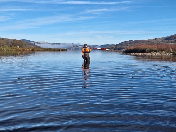
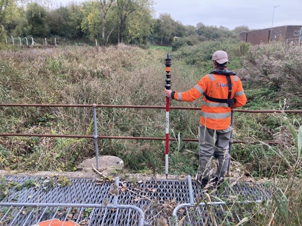
On the weekend of the 21st of October 2023, Storm Babet hit Loggerheads Country Park in North Wales, which was affected by an extreme flood event, this was shortly before our scheduled survey of the river. Our client had requested a comprehensive channel survey, as well as some small topographic surveys, to build upon a previous survey conducted in the area. It seemed almost too ironic that the survey was commissioned to provide data for flood modelling purposes.
Flooding of course presents additional risks which Storm Geomatics are experts in dealing with thanks to professional DEFRA Module 2 Water Awareness Course provided by Bristol Maritime.
An initial site walk was performed to assess the severity of the flood, identifying recovery locations where surveyors would quickly be able to exit the watercourse if circumstances rapidly changed, and a throw rope was always close by to recover surveyors placed in situations with increased risk. After the site walk, the conditions were deemed to be acceptable and safe, although ultimately if conditions were too adverse or rapidly changed during the survey, our motto of “Safety First – Data Later” would have come into play. Despite the challenging conditions surveyors were able to complete the survey without any incidents and provide the client with high quality and accurate data in accordance with the Environment Agency National Survey Specification.
This project really highlighted the need for robust data collection for Flood Risk Assessments and Flood Modelling as we adapt to our changing climate and protect communities from flooding.
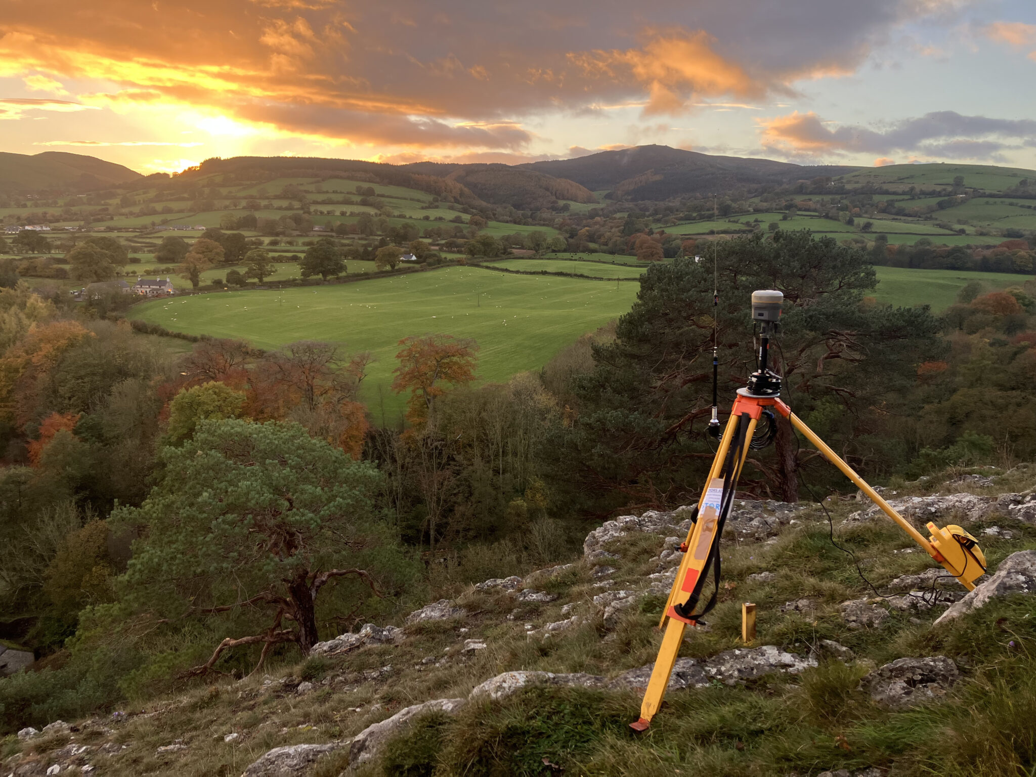
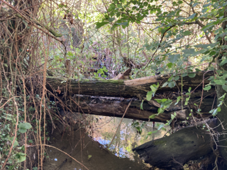
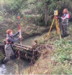
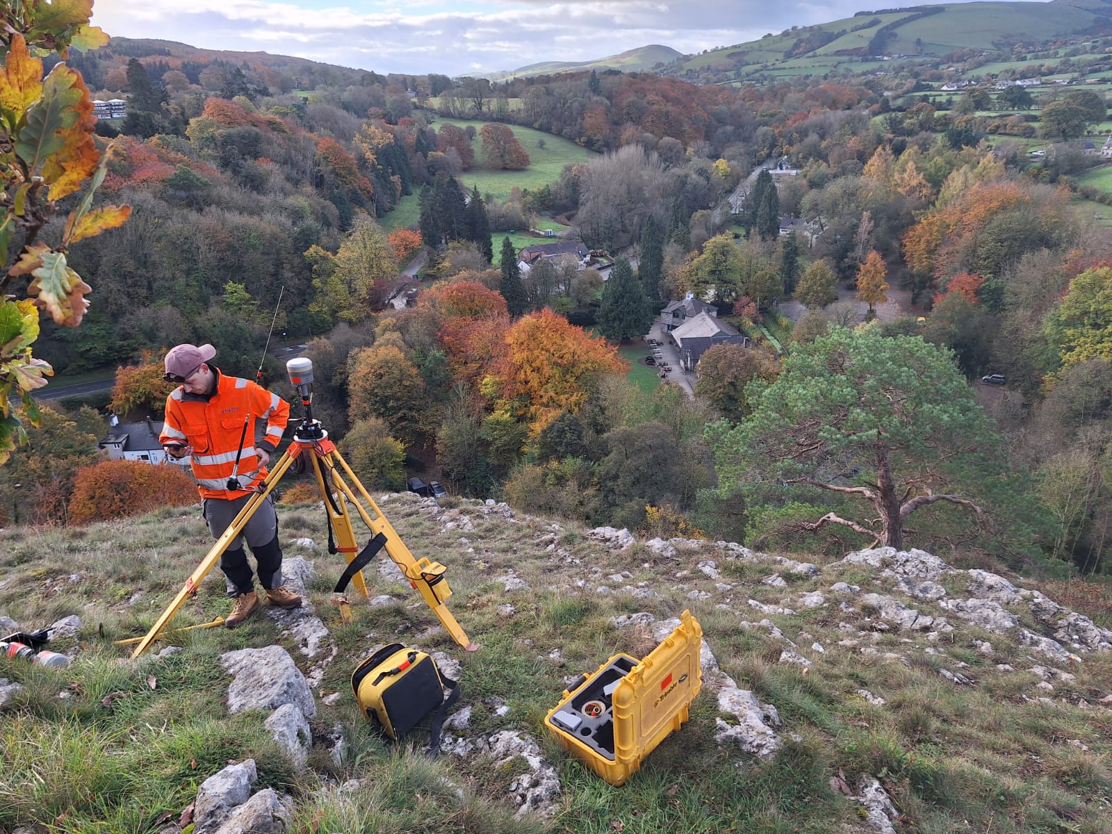
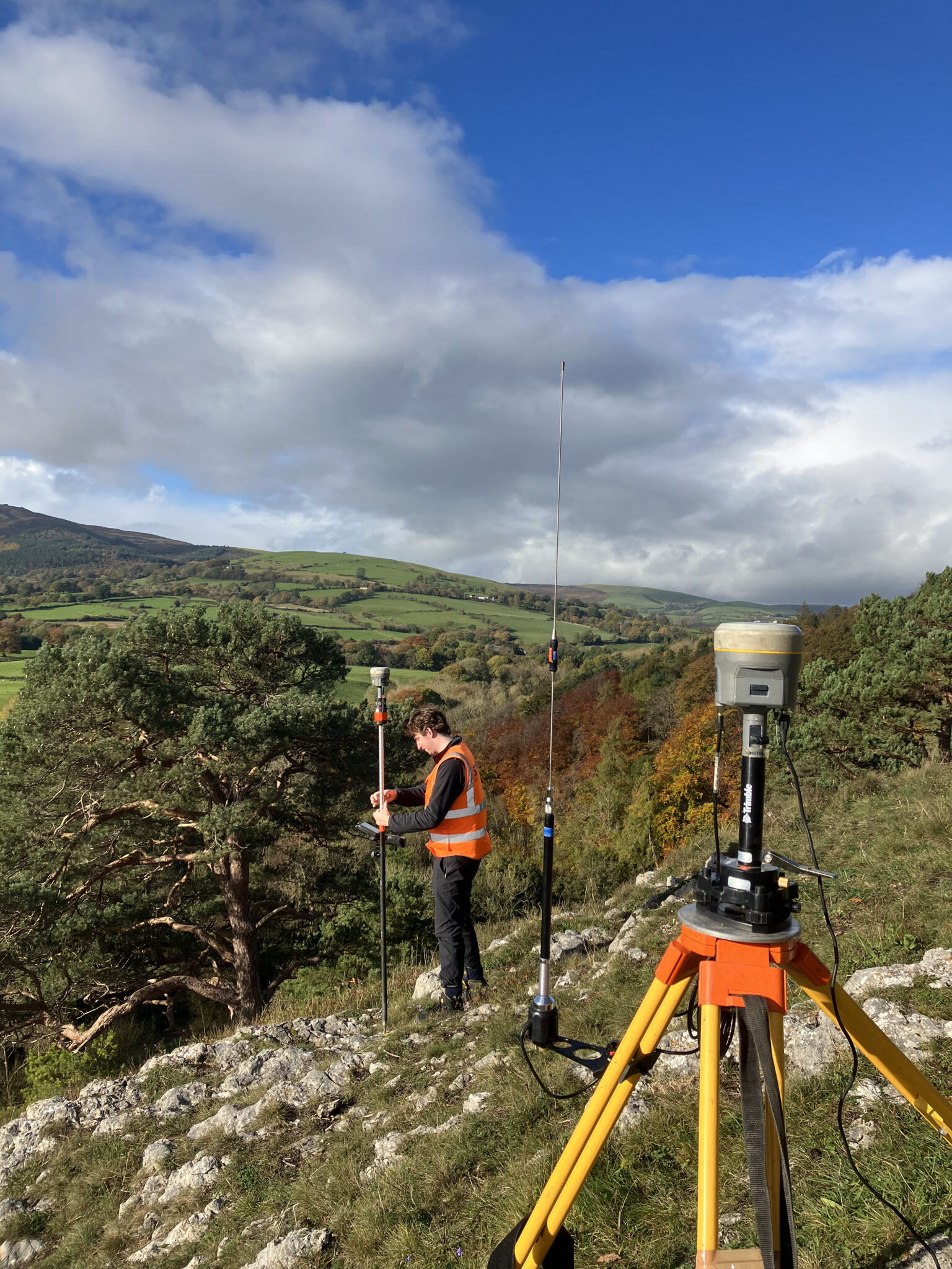
Also in October the company started a ground breaking project led by Mike Hopkins, Managing Director, to advance the understanding of Leaky Dams through the application of geospatial survey technology. Leaky Dams are a natural flood management technique constructed in-stream to slow the flow of a river by creating a permeable space that allows water through but reduces the amount of water in the channel downstream during high rainfall periods. These structures, which consist of logs or trees placed across the river channel, can also encourage out of bank spill which also delays downstream peak flows.
But how to monitor the effectiveness of these structures? …By conducting a channel survey at a local Natural Flood Management (NFM) site our surveyors are creating the data for a Hec-Ras model to replicate the flight of dams which leads to understanding of their effectiveness. However, Leaky Dams are difficult to accurately represent in a hydraulic model so Storm have teamed up with Elizabeth Follet, a mathematician from Liverpool University and Barry Hankin who is NFM lead at JBA Consulting to measure, produce and calibrate a model that replicates the study reach. This is possible as there is existing flow and rainfall data at the site so the modeller is able to calibrate the model against historical conditions. Detailed photogrammetry will also be used to capture each unique dam and from this each structure can be analysed for its porosity which is derived from an algorithm based on its solid volume and wood diameter. The photogrammetry also allows for the monitoring of each structure’s resilience over time through the comparison of future and past surveys. It also allows for identifying areas of deposition build-ups and pools created by each dam (see diagram below).
You can follow Mike’s video on this important project to discover more. Please do subscribe to our channel.
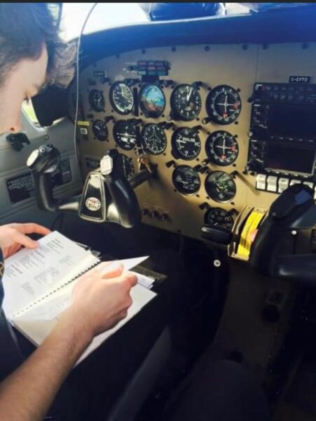
With an unprecedented interest in Storm’s holistic approach to providing River Digital Twin services it is expanding its RPAS team. The ideal person was surveyor Alex Lyall who is already a qualified commercial pilot. His in-depth knowledge of aviation law, navigation planning and metrology will be an invaluable asset to the existing team. Alex has previously flown a variety of aircraft from 2-seater single engine propeller planes to complex multi engine aircraft. During and after training completed flights throughout the UK and ventured further afield for two weeks flying through 10 countries to Corfu in Greece and back.
Alex is naturally adapt at embracing complex technologies and now looking forward to combining his aviation and surveying knowledge to provide aerial surveys service using cutting edge surveying technology that contributes to Storm’s exciting River Digital Twin services.
As always you can follow the wet n wild adventures of Storm’s surveyors on all social media channels available.


Other News
Surveying Through the Seasons

Helping Clients Reduce Risk with Better Geospatial Data