Remotely Piloted Aircraft Systems (RPAS) FAQs
What will this service offer you?
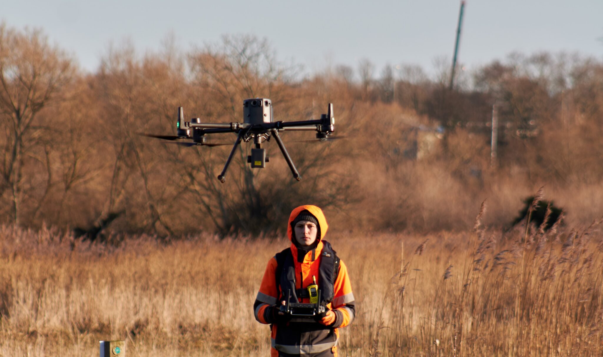
As well as using traditional survey methods to capture data, Storm Geomatics also utilises new RPA (Remotely Piloted Aircraft) technologies. Our DJI M350 drone allows you to survey data in areas that may not usually be possible (dense vegetation or poor access), while doing so more efficiently than manual surveying. All of our drone pilots are highly qualified professionals holding their GVC and A2 CofC licences.
How does it work?
Flying above the area of interest, our LiDAR system will fire millions of lasers towards the ground, many of which will penetrate through vegetation to reach the true ground level. At the same time, overlapping photos will be taken that can be stitched together, colourising the point cloud and providing a 2D orthophoto of the site.
Our high spec 45MP camera, the Zenmuse P1, can capture aerial imagery if a higher resolution is necessary.
How will you view the data?
If you have not worked with point clouds or large images before, it is understandable that viewing it may be a concern. However, as well as delivering the raw data, we also host our point clouds in a bespoke viewing software – all you need is a web link! We also provide it in more regular formats, such as topographic drawing or csv files, upon request.
What we can provide you:
High resolution 2D orthomosaic
Perfect for capturing detailed aerial imagery of an area.
3D photogrammetry model
A georeferenced 3D surface model that provides a highly detailed depiction of the area of interest.
Categorised point cloud
Our software can extract and classify LiDAR data, producing accurate ground models.
…and much more!
Download this Resource
Complete the form below to download: