Storm surveyors welcomed February’s unseasonal weather being the driest in England for 30 years.
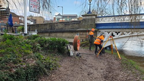
The R[&]D team working on the Civtech 7.1 Challenge “How can technology locate beaver burrows and assess their risk to public and private interests?” are now ready to present their final innovation of how the technology can be adapted for the management of infrastructure assets.
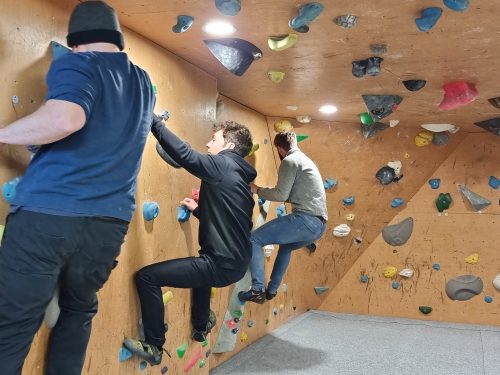
To celebrate a successful year surveying the natural environment Storm Geomatics[nbsp] enjoyed an away day at Far Peak Climbing in sub-zero temperatures!
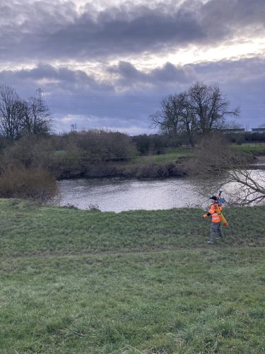
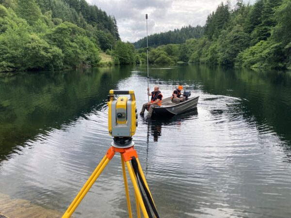
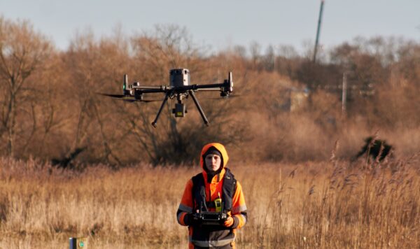
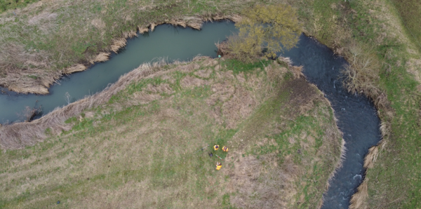
Storm’s collaboration with JBA Consulting took the team to Scotland to run site trials for the CivTech Accelerator challenge.
What role do land surveyors have to play in slowing down the climate crisis? A question Mike Hopkins, Managing Director, has given a great deal of thought to.
Offering their clients Superior Value is a cornerstone on which Storm Geomatics is built.
Traditionally August is a slower paced month for Storm’s surveying teams as clients enjoy summer breaks. However, 2022 was not so!
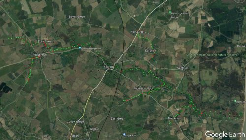
July became a month of completing large and complex survey projects for clients across the UK.
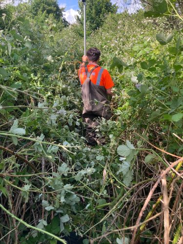
Mid-summer can be a challenging time for Storm’s surveying teams as vegetation reaches it’s peak.
How to Get Ready for the UK Water Restoration Fund: Start with a Survey
This quick read highlights the most common & costly mistakes seen during a river survey procurement journey:
Information and Growing Guide (by advice from Emorsgate Seeds) Description Oxeye daisy is a familiar and attractive grassland perennial and our largest native member of the daisy family. It has a medium tall un-branched stem topped by a solitary composite flower of white rays (petals) surrounding a yellow disc floret. Once you become familiar with […]
“Off the shelf” survey specifications should be a thing of the past, because engineers who reply on these will not receive the best value for money.
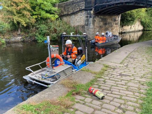
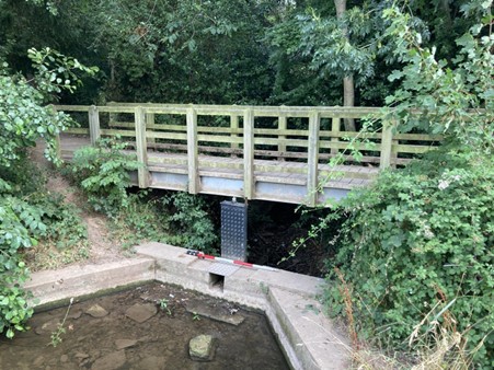
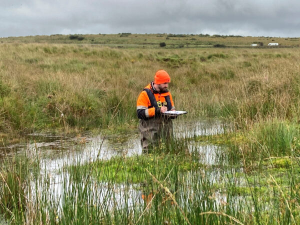
Surveyors utilise a range of surveying equipment to measure the profile of the water course at regular intervals, referred to as cross sections.
All of our drone pilots are highly qualified professionals holding their GVC and A2 CofC licences.
What is River Condition Assessment (RCA)?River Condition Assessment involves a field and desk based survey to assess the condition of a watercourse. Biodiversity Net Gain (BNG) is expected to become mandatory in Winter 2023 and an RCA will be required if a watercourse falls within a development site boundary.What Storm Geomatics can offer you?Storm Geomatics […]
A collaboration of two expert companies explain why a Flood Risk Assessment keeps your project on track to be successful at the planning stage through good data in an exclusive webinar. What are the main considerations when undertaking a FRA? How will procuring the a survey ease your pains? This process was explained step by step […]
We have sponsored a home work project with Get Kids into Survey. Our mission is to ensure every young person knows about surveying as a career
Do you have a project we can help with?
Call 01608 664910 or
Follow our wet ‘n wild adventures in our monthly newsletter!
SIGN-UP HERE >