Hunting for Beaver Habitat
The R&D team working on the Civtech 7.1 Challenge “How can technology locate beaver burrows and assess their risk to public and private interests?” are now ready to present their final innovation of how the technology can be adapted for the management of infrastructure assets. We warmly invite you to watch our live presentation on Wednesday 8 February. Register Here[nbsp]
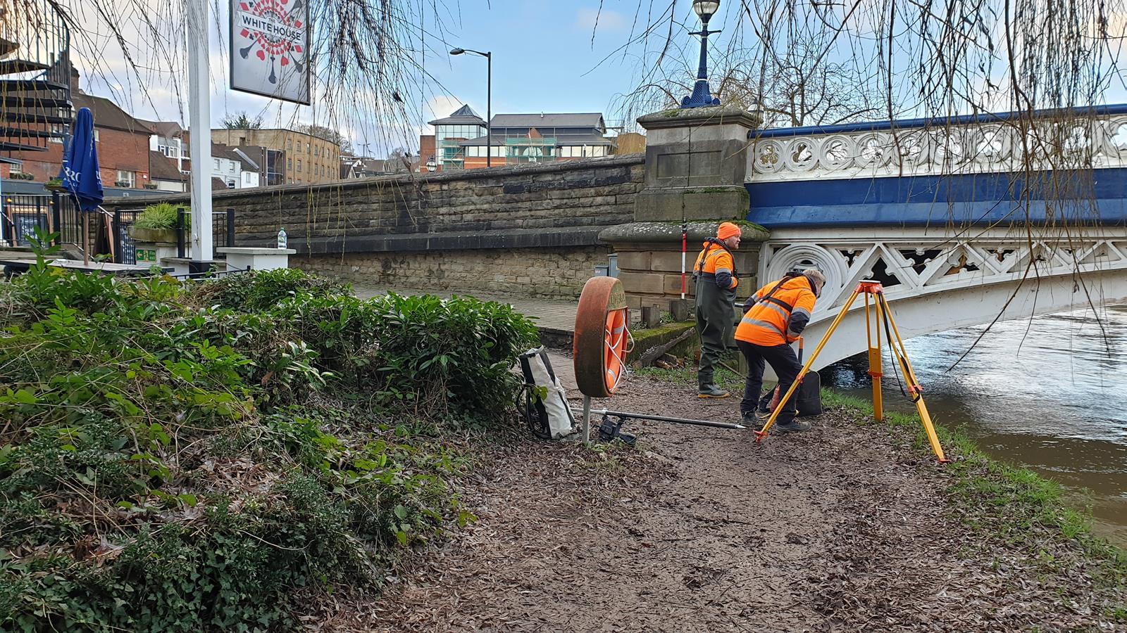
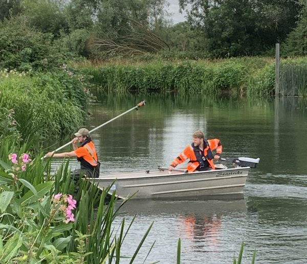
During early January a team led by surveyor Sam Dexter were deployed to the River Wey, Guildford to conduct a channel survey through the city centre. The existing hydraulic model from the 1990s was to be updated to inform flood risk for the recent town centre regeneration plans. The survey consisted of 40 cross sections, including several large road bridges plus channel bed and embankment levels.
The river is susceptible to rapid flooding after excessive rainfall, and due to the depth and breadth of the river it required a boat team to be deployed. However, fast flow caused the river to be closed to navigation by the National Trust (NT) who control and maintain the river in the area. The survey team had to consistently liaise with the NT navigation authority and use local gauging station information to assess the situation and river conditions. After a few nervous Sunday nights watching the weather forecast and judging the gauging station reports, teams were able to mobilise safely and complete the work without incident. The data was processed and delivered to the client so they were able to continue their design.
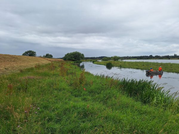
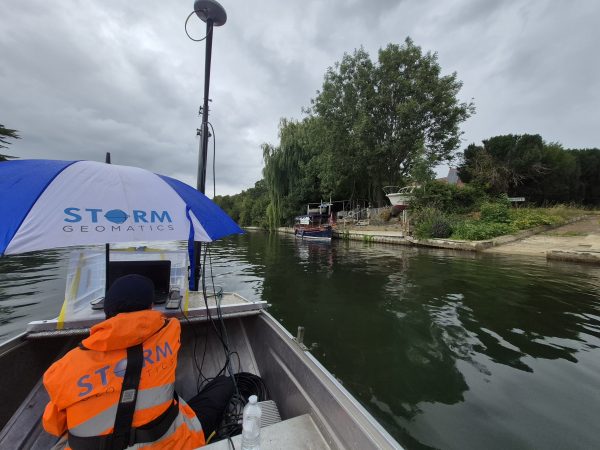
Another large project involving both Storm offices and being led by Jack Crompton involves tracing fuel pipelines at various river crossings from Gatwick to Bristol. The purpose of these surveys is to assess the state of the dynamic physical landscape around an economically and environmentally sensitive asset, to show that they are safely buried or suspended and that they are not at immediate risk of damage. So far, the surveys have had a variety of challenges including fast flows, varied water levels, steep unstable banks, and dense vegetation.
At one site the water level had dropped about 2.5m upon a return which enabled surveyors to capture more detailed data than originally anticipated from the initial visit and in a far safer manner. This rapid change of conditions also highlighted why Storm’s survey work was so important to the security of the pipelines in the future.
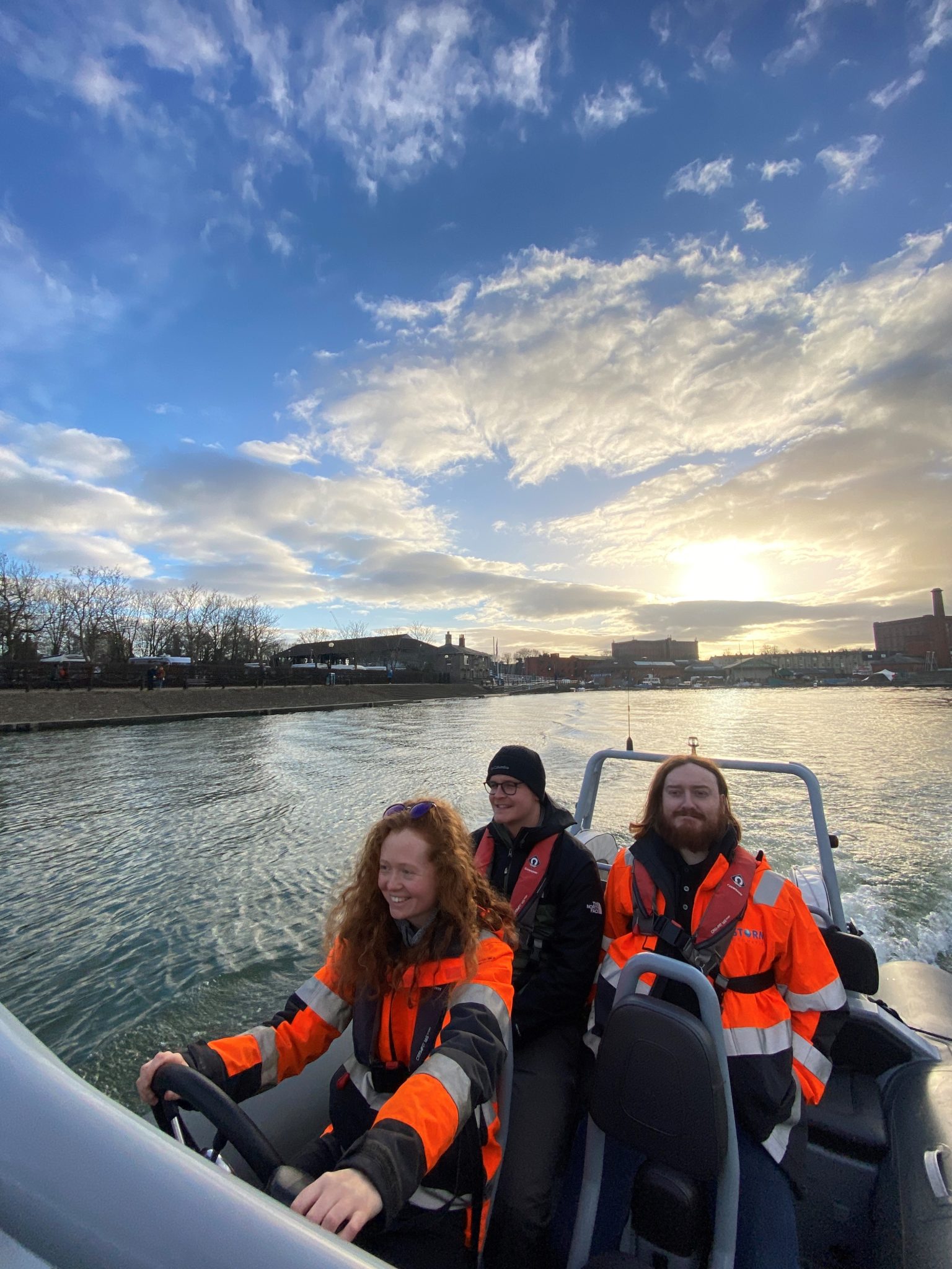
At the end of January three more trainee surveyors were put through their paces undertaking the RYA Powerboat Level 2 safety course. Blessed with winter sunshine the trio of Jack Brooker, Caitlin Tonge and Kyle MacRae undertook two days of training to ensure they are safe and competent whilst carrying out boat work. To quote Jack “I can’t say I’ve had many better days at work”. Thank you to Bristol Maritime Academy; Storm’s trusted training supplier.
All the wet and wild adventures from Storm can be viewed via our LinkedIn page @Storm Geomatics Limited and our other social media channels. Twitter @stormgeomatics Instagram @stormgeomatics1

Other News
Powered by Electricity.
From Reservoirs to Riverbeds: July Survey Stories