Over the Thames Crossing
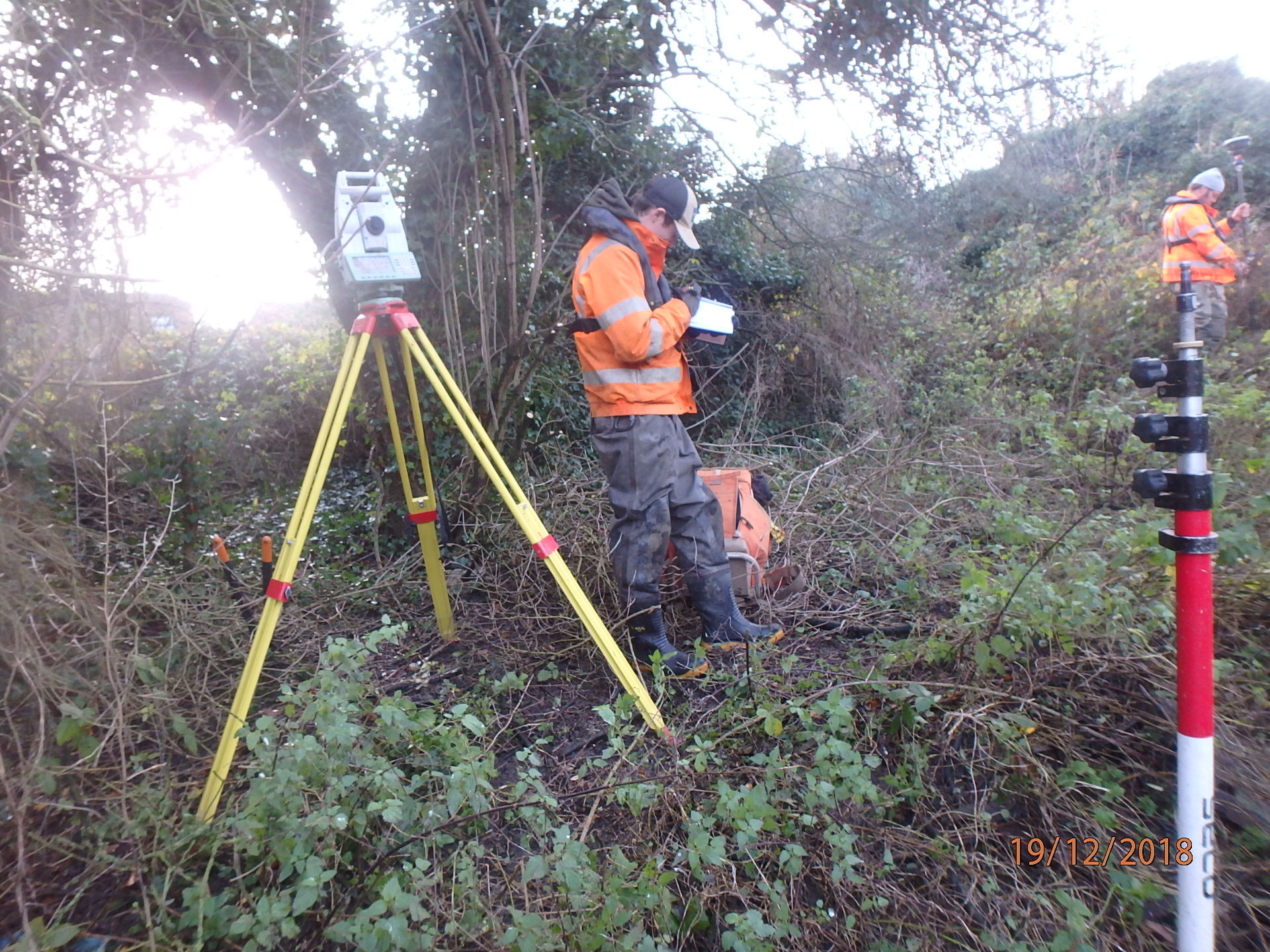
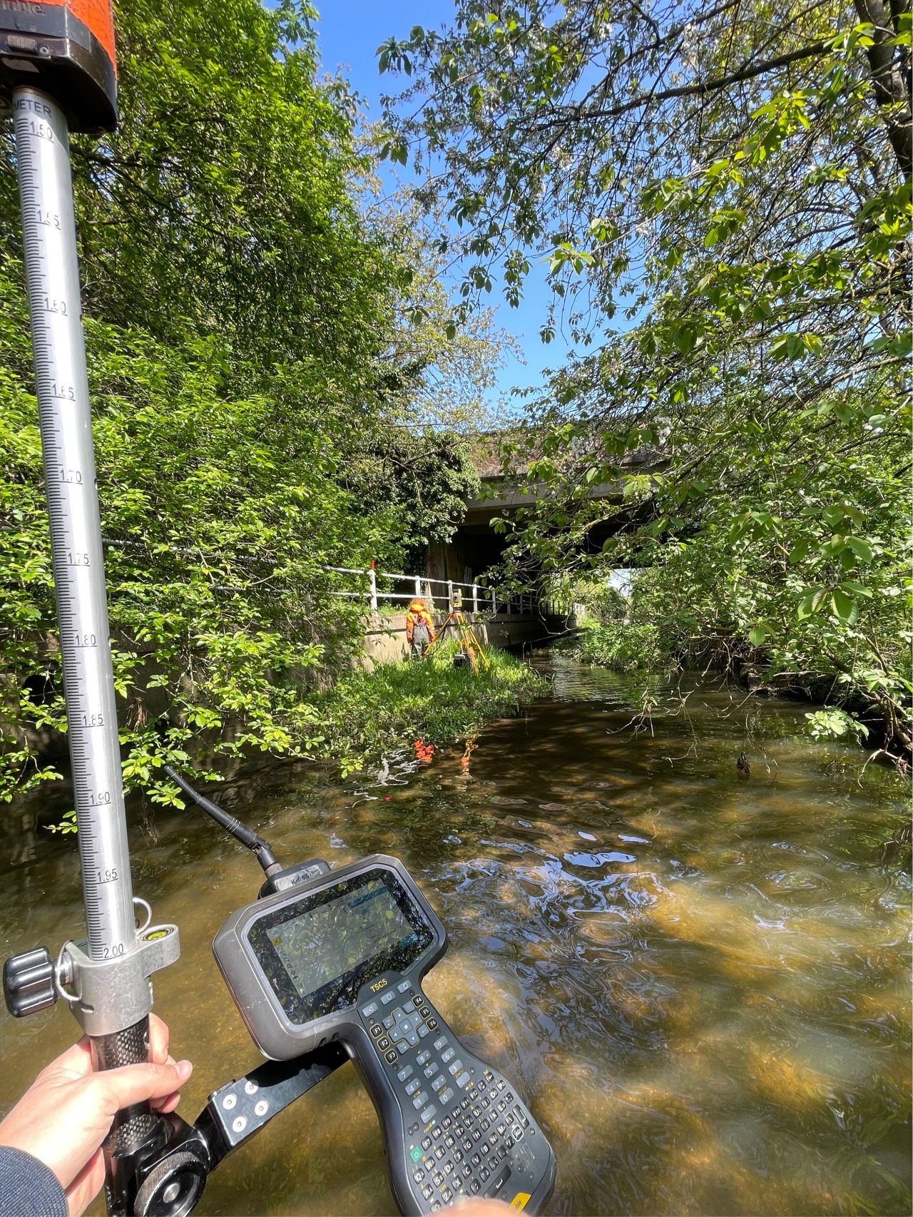
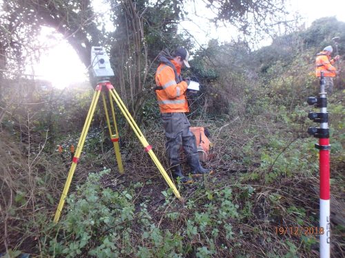
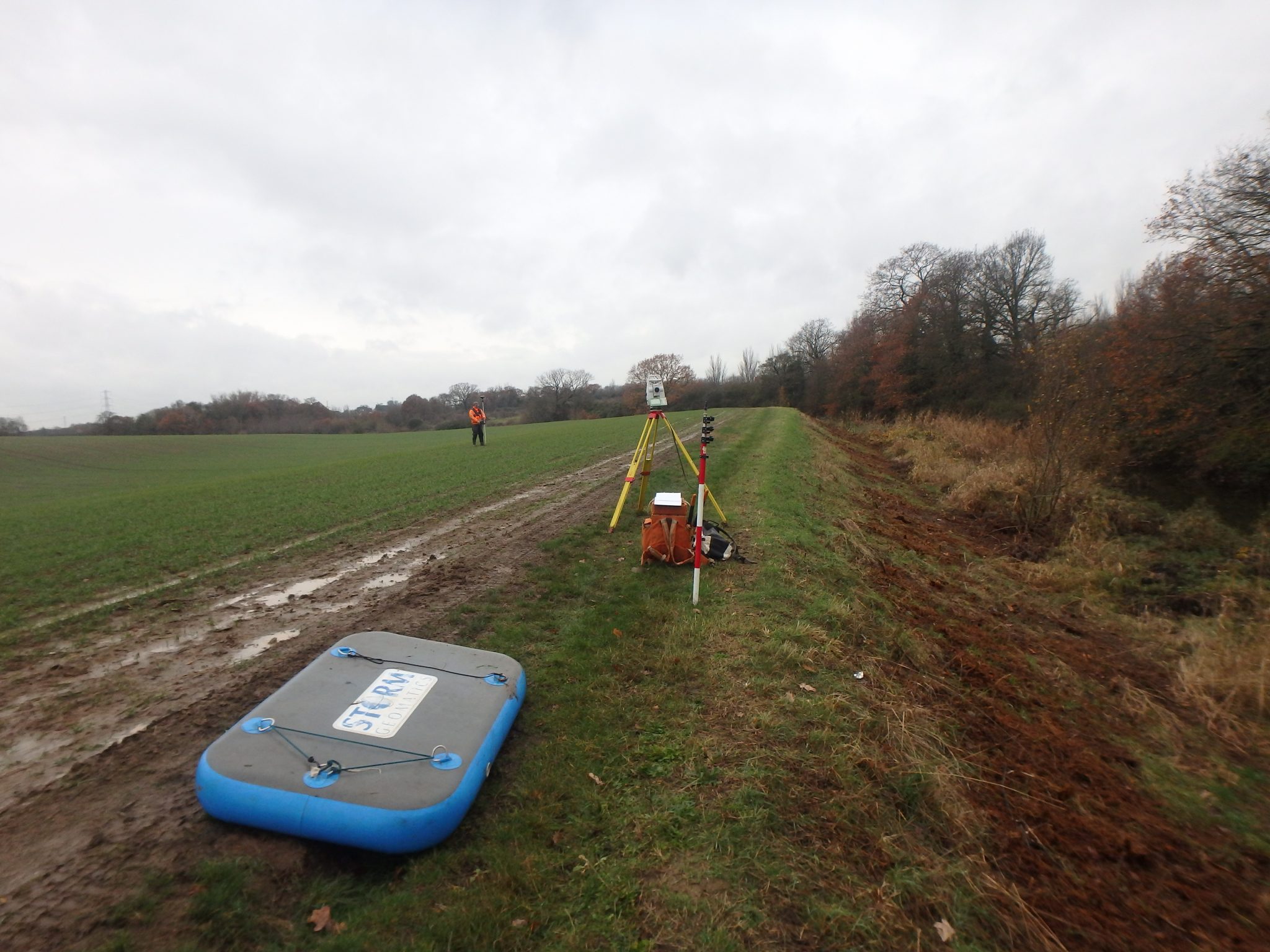
In preparation for the Hydraulic modelling for Highways England’s £4.4 billion Lower Thames Crossing project (the proposed new 3-lane motorway crossing of the Thames Estuary between Essex and Kent), Storm Geomatics were commissioned to carry out a topographical survey of nearly 25km of waterways around Tilbury and the Mardyke River that falls within the proposed construction area.
Clearly being involved with such a prestigious project and working with a Central Government Department will require the compliance of a host of complex procedures, however Storm’s well-established Health and Safety procedures and unparalleled water safety training more than satisfied Highway England’s stringent requirements.[nbsp] Consequently, we were able to mobilise 3 survey teams at very short notice, starting the survey far earlier than the client anticipated.
Led by Jon Teall our most senior Surveyor, the 3 teams used the most technically advanced surveying instruments along with GeoRiver® (our own bespoke river survey and modelling software) to streamline the data capture process, reduce survey time and provide data that can be natively imported in industry standard Hydraulic modeling software.[nbsp] Not only does this provided additional benefit to the Hydraulic consultants, but through the efficient management of our resources and continual liaison with the client, the team completed the site work 2 days ahead of schedule, delivering a series of high-quality detailed reports that surpassed Highways England’s expectations.
On 21st November Polly was invited to attend a Geospatial Trailblazer Employer Group meeting hosted by RICS at their Birmingham Offices.[nbsp] A packed agenda saw discussions with Newcastle University, University of East London, Dudley College and Harper Adams University in Shropshire. These academic providers are currently proposing to deliver to potential apprentices. [nbsp]Whilst Newcastle and Harper Adams are still in the planning stages UEL is now providing a 5 year Level 6 apprenticeship to gospatial Students and Dudley College Level 3. Learning is approached through a variety of ways ie: day release, block residential weeks and also online studies. [nbsp]The trailblazer group discussed the commercial aspects of the courses and how this will effect day to day scheduling and resources of an operational company. [nbsp]The academic providers listened to the comments and work alongside the trailblazer group to ensure the courses are accessible for a nationwide base of applicants.[nbsp] Encouraging quality students into the Geospatial profession is something Storm Geomatics is passionate about.
[nbsp]

Other News

Geospatial Data Powers Asset Management
Storm Geomatics: A New Chapter Unfolds