News & Resources
Green Surveys
01.08.2015
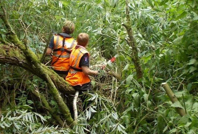
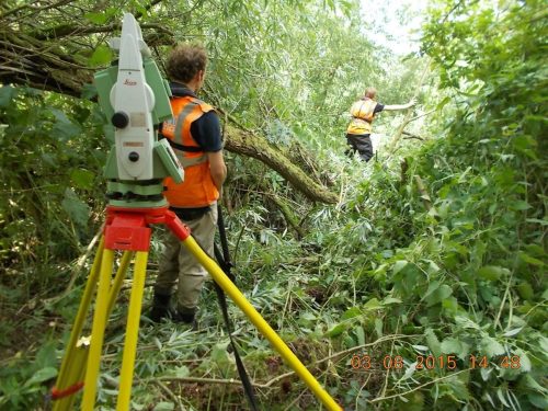
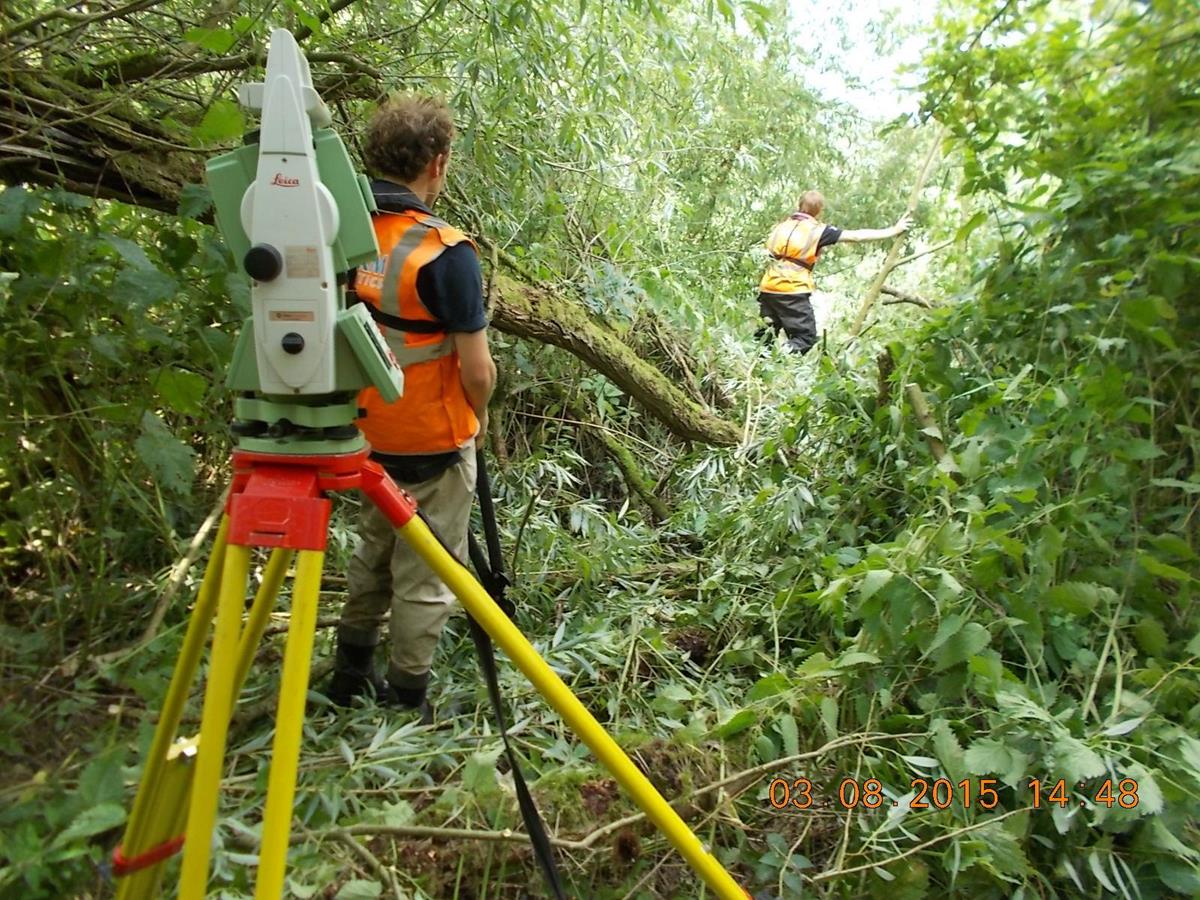
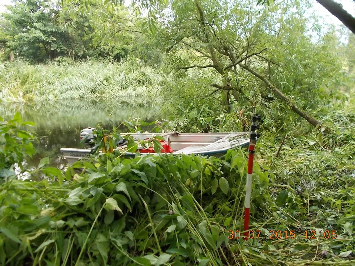
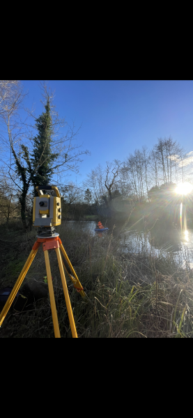
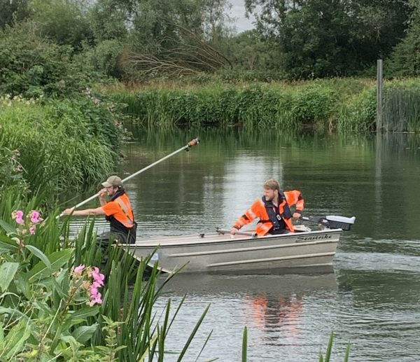
Our surveyors need to reach critical points on a river to physically measure levels that ultimately contribute to flood mapping[nbsp]which is used to protect people, livestock and property. Rivers are largely under managed and are often choked with reeds and flanked with scrub – access is nearly always an issue. Storm Geomatics want to raise the awareness for riparian owners as to[nbsp]what a river survey entails so that they understand that small areas of vegetation[nbsp]need to be trampled and cut to capture the shape of the river channel. Our surveyors are currently working with a consulting engineer on producing a leaflet describing what to expect if a river survey team pass through your riparian ownership.

Other News
What’s Driving Our Success in Surveys & Leadership?
February was a whirlwind at Storm Geomatics, with demand for our expert services showing no signs of slowing down

Biodiversity Gains Delivered with Data
From biodiversity uplift to advanced scour modelling, see how our teams drove sustainable progress this month.
Powered by Electricity.
Storm Geomatics delivers flood risk survey at Frampton Ponds, upgrades to electric outboards & boosts biodiversity at wildflower meadow...