Extreme flooding across the UK
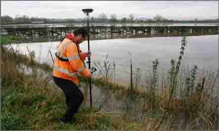
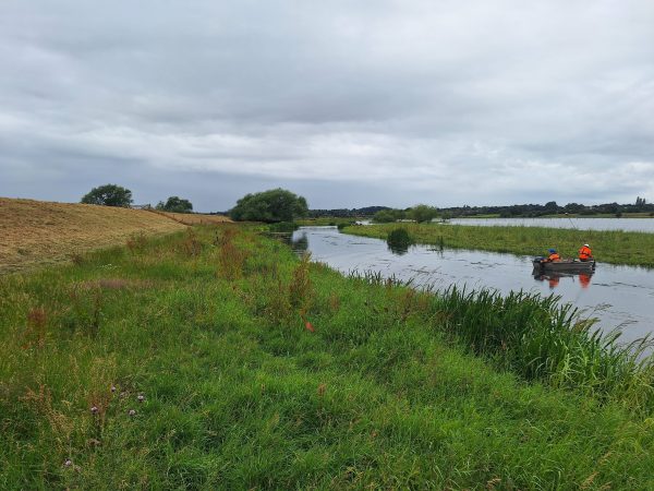
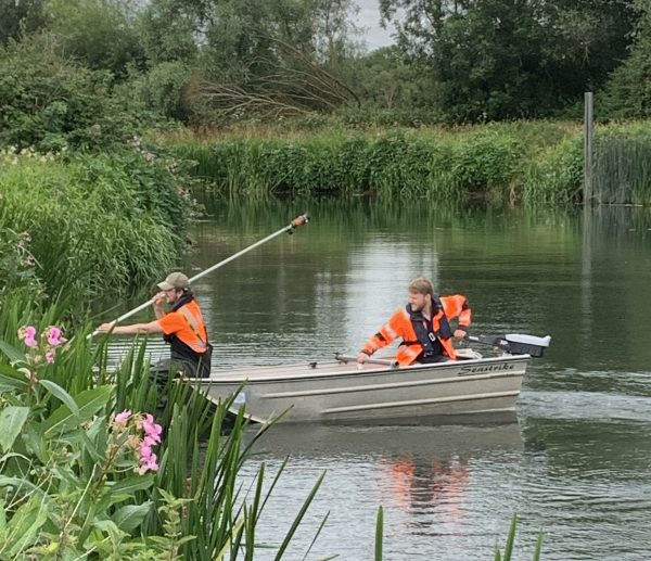
Extreme flooding across the UK has led to a very busy week at the end of November for Storm Geomatics. On the 26th November surveyors were called out to the River Soar in Hathern, Leicestershire for post flood level monitoring. In Leicestershire flooding caused devastating levels of damage and destruction to local communities with 13 flood warnings in Leicestershire issued by the Environment Agency over the weekend of the 24th November, including warnings for the River Soar. The reliance of communities upon precise flood predictions and warnings means a high level of accuracy in post flood level surveys is needed. Post flood level surveys contribute to the river modelling from which predictions and warnings are generated.
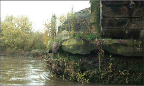
A large number of scour protection surveys of railway bridges are also underway. Undeterred by the high rainfall, teams have so far surveyed nine railway bridges of varying sizes in the North of the UK at locations such as the River Medlock near Manchester (pictured) and Leighton Beck at its confluence with the River Kent at Morecambe Bay. With the importance of scour protection surveys highlighted by the recent flooding and high rainfall, these surveys shall continue into the New Year including a number of bridges in Western regions.
Other News

Helping Clients Reduce Risk with Better Geospatial Data
Powered by Electricity.