Winter Storms Create Post-Flood Level Surveys
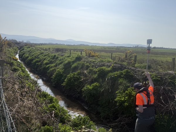
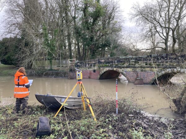
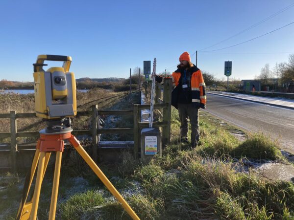
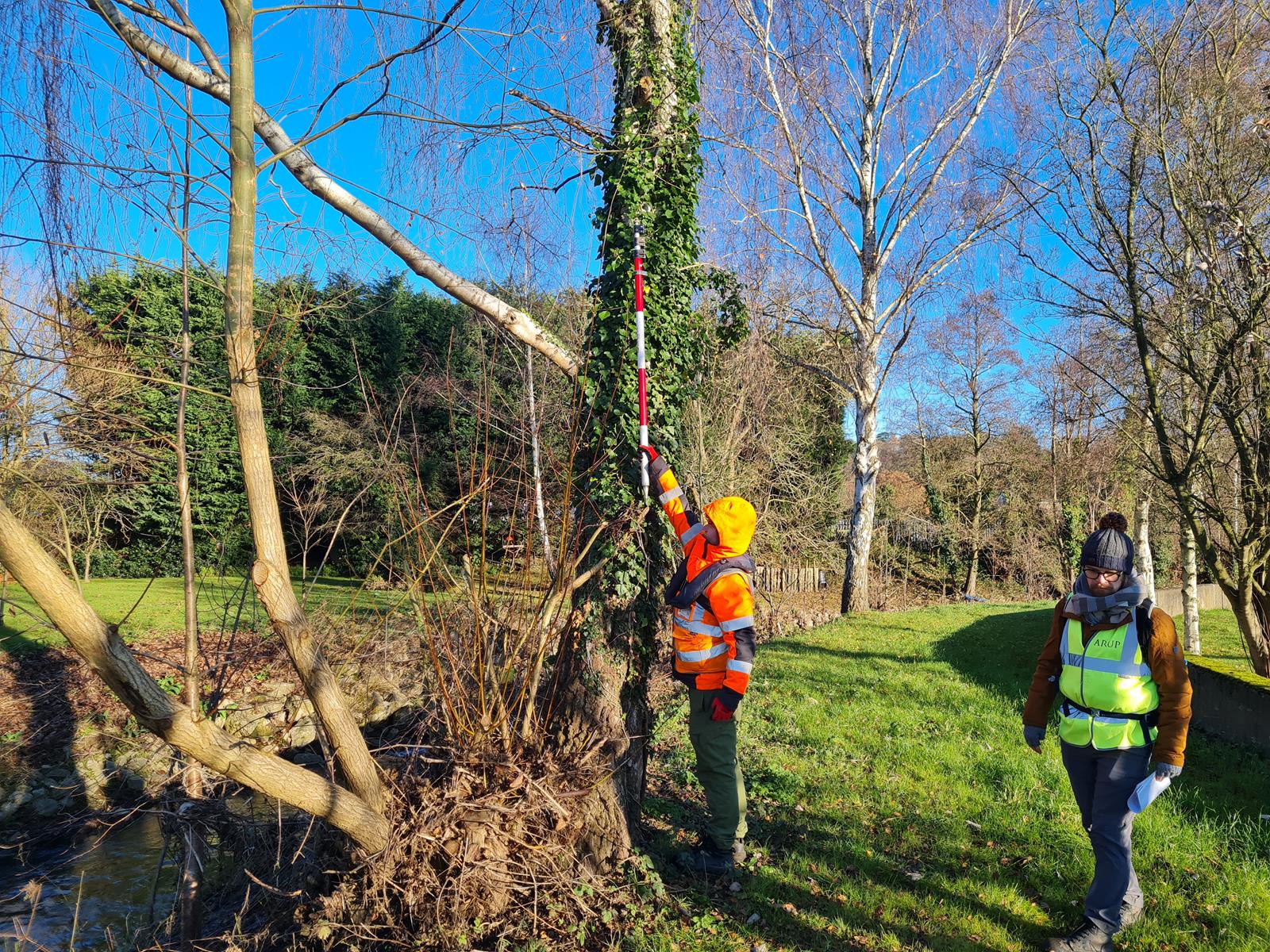
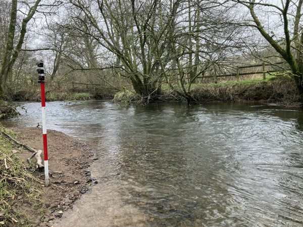
In early December three teams of Storm surveyors were deployed to record flood levels caused by Storm Babet that occurred in October 2023. Spread over several sites across the Midlands surveyors worked alongside clients Arup on behalf of the Environment Agency to provide data that will be used to accurately analyse the event.
Storm Geomatics are well placed to conduct post flood peak level recording because they have experience in identifying wrack marks and are used to moving around rivers logistically. How did Storm create a timely conclusion? Check out the case study Storm Babet, Surveyors Record Vital Flood Levels.
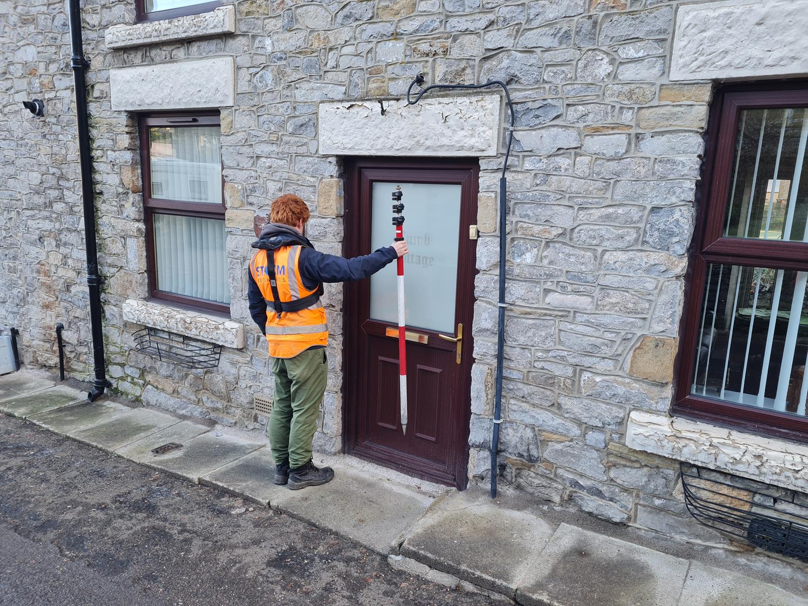
More local to home Storm conducted a check survey along the River Avon from Kenilworth to Leamington Spa on behalf of Warwickshire County Council. The purpose of this survey was to check and recalibrate an existing model of this section of the river for the purpose of creating a new cycle path. Winter storms with rising water levels challenged access to site but project leader Surveyor Sam Dexter safely overcame these challenges using his vast experience and safety training, the solution is detailed in the case study Winter Conditions Challenge Surveyors on Local River Avon Survey
This winter season is sadly bringing regular flooding across the UK, Storm Geomatics are on standby to deploy quickly to record peak levels that can assist in calibration of flood models. Early deployment is vital whilst flood evidence is fresh and accurate data can be recorded. Call us now for our skilled teams to be on site quickly. 01608 664910
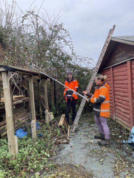
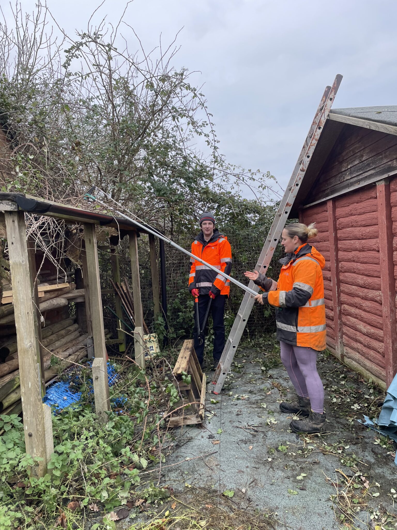
After a long year of contributing to the UK’s flood prevention it was time for Storm Geomatics to come together and reflect on our achievements in December. The whole company spent a day helping to clear and maintain a local campsite facility of 9.5 acres that is used by local girl guides, scouting and Duke of Edinburgh Awards groups. Team Storm arrived at the campsite equipped with tools to cut back brambles, clear pathways, and paint water damaged buildings. After a long morning’s toil, the team settled around the bonfire to enjoy a well-deserved fish and chip lunch. Back at base Storm Managing Director Mike gave everyone an overview of their collective achievements in 2023.
- Storm won the CIVtech Beaver Challenge
- Storm started AND expanded their Remotely Piloted Aircraft Survey Team which forms part of the unique River Digital Twin service.
- Storm expanded their River Condition Assessment service with more qualified surveyors.
- Storm WON the Chartered Institute of Civil Engineering Surveyors, Approved Development Scheme award for Geospatial.
- Storm celebrated no less than 6 promotions.
- Storm released a dynamic new website.
- Storm welcomed 5 new starters.
- One colleague’s marriage was celebrated.
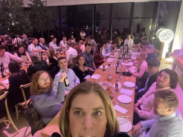
It was then time for the annual company Christmas party where colleagues and their partners were able to enjoy a fun evening feasting, relaxing and dancing into the early hours. Surveyors certainly know how to party!
Looking forward into 2024 Storm are planning many more collaborations with their clients to create an elevated level of survey deliverables. One not to be missed is an exciting webinar with Flood Risk Experts AEGAEA. On Thursday 25 January. The webinar details the importance of survey and it’s role within flood risk. A detailed behind the scenes expose of how survey data creates vital information at the earliest stage of flood risk assessments.
Don’t miss out and book your slot now. Can’t make that date? Fear not! Register and watch the webinar at your own convenience.
All Storm Geomatics social media channels are buzzing with our latest adventures do follow us: X Instagram


Other News
A Record Month Surveying Rivers
Storm Geomatics: A New Chapter Unfolds