Crayfish
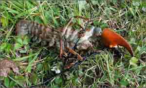
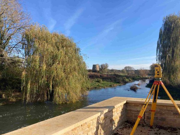
A signal crayfish was found in Bampton, Oxfordshire. The invasive crayfish was accidentally trodden on by a surveyor whilst taking river bed levels. These crustaceans are becoming more and more prevelant in our watercourses as they push out our native crayfish. More work was undertaken in the Cotswolds as a result of the floods of July 2007. Surveyors have been capturing additional levels on existing projects as more flood relief options unfold.
Storm Geomatics carried out the survey work for a flood risk assessment (FRA) in Leek, Staffordshire. They were working for a new client who was preparing the FRA for a major building society headquarters. The survey consisted of a number of small watercourses and some small lakes.
Surveyors carried out a flood risk assessment for an individual client at Saxmundham, Suffolk. An existing building on the site is to be demolished.Floor levels for the new building have been ascertained by comparing flood levels provided by the Environment Agency with actual ground levels on site. Storm Geomatics worked with the architect for the project on determining building design and materials in order to provide additional resilience to flooding.
Two hundred-and-seventy eight threshold levels were taken in and around Witney town centre, Oxfordshire. The new field system for threshold data capture is proving to be a very useful survey tool, saving clients time and money
Other News
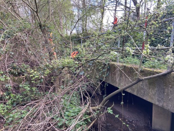
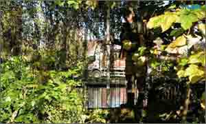
Storm Surveyors Conquer Springtime Vegetation
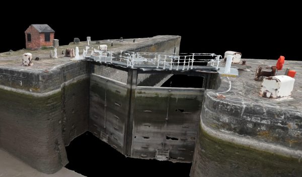
Storm Geomatics’ Boldest Project Yet: To Transform Flood Risk Management