Leaky Dams – can they hold back the flood?
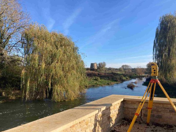
Storm Surveyors are continuing their monitoring of natural flood management on a series of structures along tributaries of the River Stour in South Warwickshire. Since Autumn 2023 a team lead by Mike Hopkins have used ground breaking techniques to capture leaky dam solid volumes to quantify and evaluate how good the structures are for flood management. The Leaky Dam structures are built in the river channel to slow the flow by creating a permeable space that allows water through but reduces the conveyance of of water downstream at times of high rainfall, which has certainly been a regular occurrence during the winter 2023/2024.
The back story to this project explained.
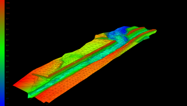
During February, Storm surveyors were back on site to capture images for photogrammetry. A combination of RPAS and handheld camera imagery was collected to capture comprehensive data on the dam structures whilst a base and rover GNSS created a cross section upstream of the dam. Each leaky dam needed over 200 photographs to accurately represent the structure geometry.
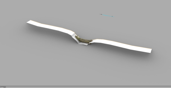
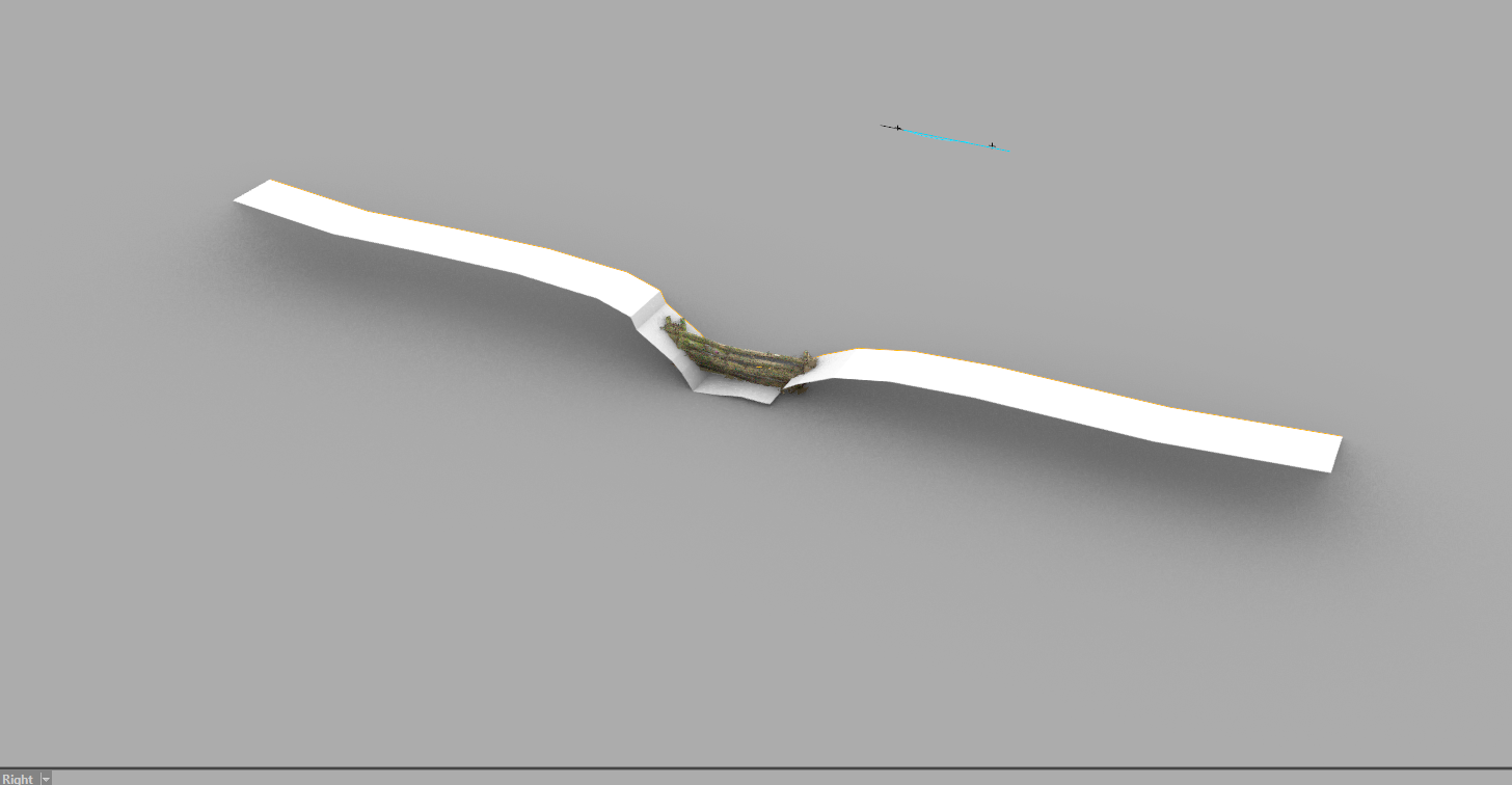
Photogrammetry processing facilitated the creation of detailed 3D models in specialist software, which were passed to a solid modelling software to produce accurate volumetric and porosity values for each structure. From there, the values will be used in a study funded by Liverpool University to create hydraulic modelling units that can be used within a hydraulic model to simulate each leaky dam’s performance at different rainfall return periods.
This project highlights the potential of leaky dams as an innovative solution for flood management. Working alongside colleagues from Liverpool University & JBA Consulting this project will continue with a proposed hi-res LiDAR survey (100mm) to capture the topography around the structures which is important to understand for structure placement, scour and water retention efficiency. Findings of the study will help future project managers to spend budgets in the future.
Continuing the post flood work from the aftermath of Storm Babet (October 2023), Storm have worked in collaboration with Bridgeway Consulting on behalf of their client Jackson Civils to help identify and model damage to flood embankments. Significant damage to a stretch of the River Bain, Tumby, Lincolnshire was the first site to be tackled by the collaborative team. The project required a full topographic and bathymetric survey with cross sections taken very 10 metres. With this data engineers can make informed decision on repairs and mitigation of damage being repeated. Discover how lead surveyor Josh Humphriss & his team overcame challenges. Why not read the full Case Study ?
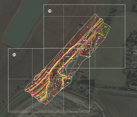
Also in February, Storm’s specialist RiverEye survey team headed north to Scotland for their fourth visit to carry out beaver detection surveys. This project born out of a need from client NatureScott to locate beaver habitat and carry out risk assessments of their behaviour around assets and structures. Joining the team this visit was a RPAS surveyor to offer L1 LIDAR & P1 photogrammetry aerial imagery to the survey. Collaboration with JBA consulting who provide RiverEye risk assessment tool resulted in a 12km section of the River Isla producing very interesting results. Read the case study here.
The GeoRiver® software development team are now working towards release of version 1.5.7 bringing new features to aid in the fast processing of river channel data. GeoRiver® was born out of a need for fast processing of Storm’s River survey projects. The GeoRiver® journey defines the why, what and how this software is the go-to option for high integrity data from surveys to hydraulic model solutions.
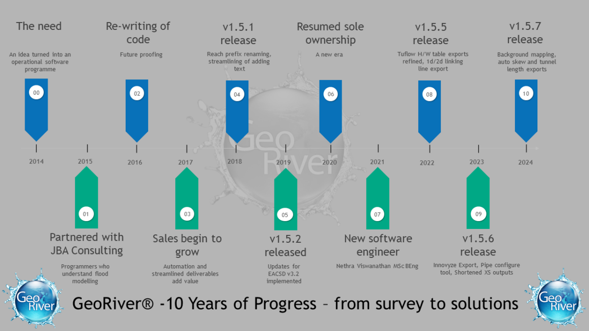
Join GeoRiver® Champion Anthony Pritchard on a LIVE webinar on 18 April, both surveyors and engineers would benefit from attending as Anthony explains the delivery mechanisms provided and why this is crucial to projects. BOOK YOUR SLOT
Keep uptodate with the adventures of Storm Surveyors via our socials X OR Instagram OR LINKEDIN
Other News
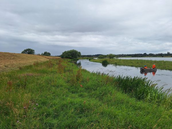
River Surveys and Team Bonding: Storm’s Action-Packed August
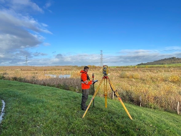
Annual Check by Storm Surveyors keep Flood Alleviation Scheme in Good Order
