


Better Flood Models Begin With Better River Data
How Storm Geomatics supported the River Griffin & Upper Whitewater Mapping and Modelling Study with model-ready inland water survey data.
The Background
- Date
- Summer 2026
- Client
- Jacobs
Storm Geomatics was commissioned by a client on behalf of the Environment Agency through the NGSA Mapping and Modelling Framework (2024) to deliver a comprehensive Mapping and Modelling survey of the River Griffin Stream and Upper Whitewater catchment in North Hampshire. The project objective was to provide hydraulic modellers with accurate, model-ready survey data to support Flood Modeller Pro and TUFLOW model development.
The River Griffin catchment contains a complex network of tributaries, drainage pathways, ponds, structures and floodplain features. Understanding the hydraulic connectivity between these elements was critical to ensuring reliable model performance and reducing uncertainty during model build and calibration.
Storm’s role was to provide accurate, model-ready geospatial data needed to capture that complexity.
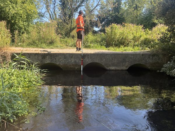
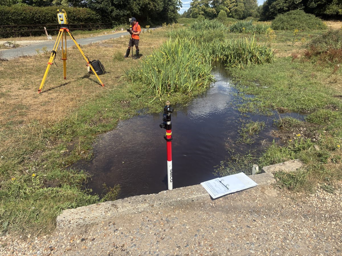
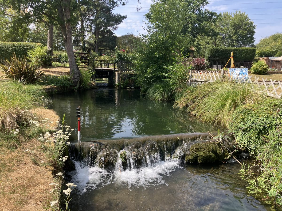
A structure forms part of the hydraulic connectivity.
The Challenge
Lead surveyor Tom Isaac was presented several challenges that could influence model performance if not accurately surveyed.
- Extensive tributary networks
- Multiple pond and drainage systems
- Hydraulic controls and culvert structures
- Watercourses crossing beneath major infrastructure corridors
- Complex siphon arrangements
- Dense summer vegetation obscuring channel form and asset visibility with temperatures at times above 30c.
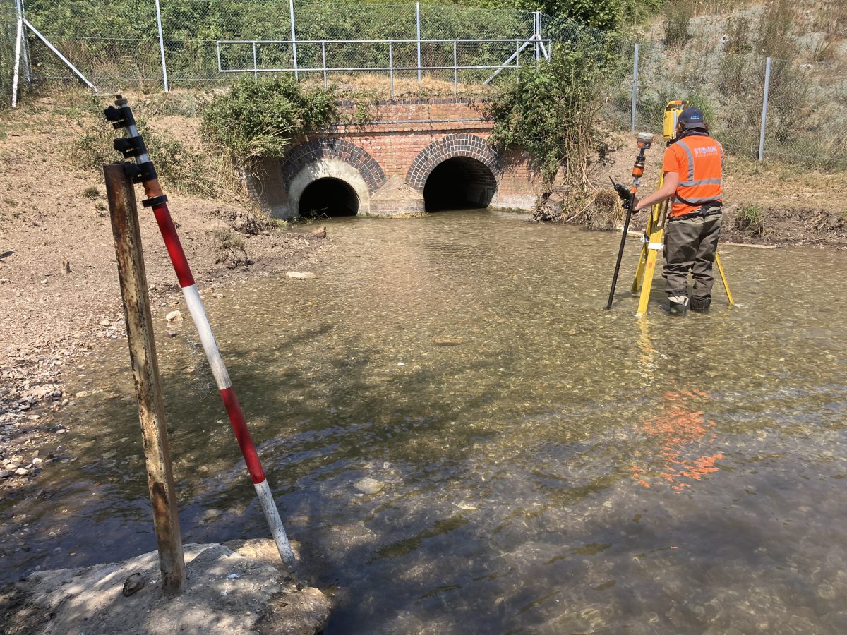
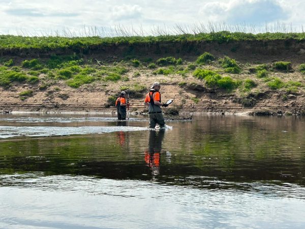
The image below shows surveyors capturing features at a culvert control structure.
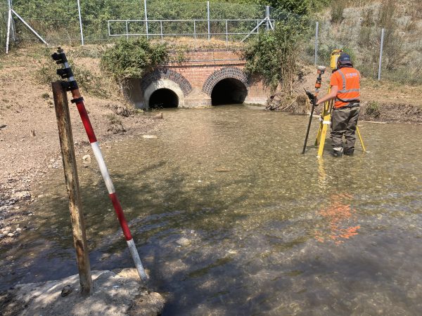
Surveying a hydraulic control structure to support accurate representation of conveyance and connectivity within the final hydraulic model.
Understanding Hydraulic Connectivity
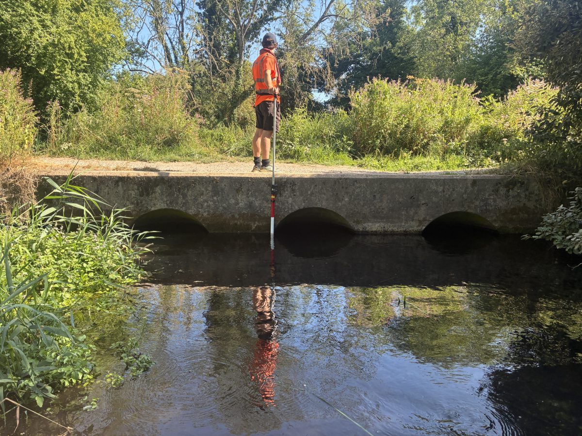
One of the most valuable elements of the survey was defining how water moves through the wider catchment. Storm surveyors paid attention to identifying locations where watercourses interacted with transport infrastructure and complex syphon structures that influence hydraulic behaviour throughout the catchment, where the channel is culverted beneath an adjacent canal before returning to the surface.
Storm’s survey captured:
- Inlet and outlet geometry
- Headwalls and control structures
- Channel tie-ins
- Bank profiles
- Local topography
- Upstream and downstream connectivity
These details reduce the need for modeller assumptions during network schematisation and model construction.
Why This Matters to Hydraulic Modellers
Storm’s methodology focused on capturing features that directly affect model outputs. The purpose being to enable modellers to reduce assumptions, improve robustness of flood risk predictions and also to increase confidence in flow pathways. Ultimately, with better geospatial data better model outcomes are achieved.
The Results
Storm delivered a complete package of survey information structured specifically for hydraulic modelling workflows, including:
- CAD Cross Sections (XS)
- CAD Long Sections (LS)
- Structure survey data
- XYZ coordinate datasets
- Geo-referenced photography
- Flood Modeller Pro outputs
- TUFLOW-compatible data
- EACSD deliverables
By combining specialist inland water survey expertise with a detailed understanding of hydraulic modelling requirements, Storm delivered a dataset capable of accurately representing channel geometry, hydraulic controls and catchment connectivity across the River Griffin and Upper Whitewater system.
As the UK’s only dedicated geospatial survey company focused exclusively on inland water environments, Storm understands the data hydraulic modellers need and the consequences when critical hydraulic features are missed.



Recent News
What Happens When Rivers Go Digital?
How To Keep Survey Projects Moving During a Record-Breaking Summer