

A Story of Fire & Ice: When a Survey Project is Caught Between Floods & Heatwaves
Can river infrastructure projects ever truly plan for the weather?
The Background
- Date
- 2025-2026
- Client
- JBA Consulting
Lessons learnt from surveying 76km of the River Dee Catchment
Storm Geomatics surveyors working on the River Dee catchment were tested repeatedly over the course of a major survey programme supporting the development of hydraulic models for Natural Resources Wales (NRW). The project required Storm Geomatics to undertake extensive cross-section and topographic surveys across more than 76km of watercourse, spanning the River Dee and several key tributaries.

The most valuable lesson ? Adaptability: here is a deep dive into what was learnt.
The Challenge
Lesson 1: The Best Survey Schedule Is One That Can Change
Survey programmes are built around careful planning, resource allocation and delivery milestones of the client.
However, nature often has other ideas.
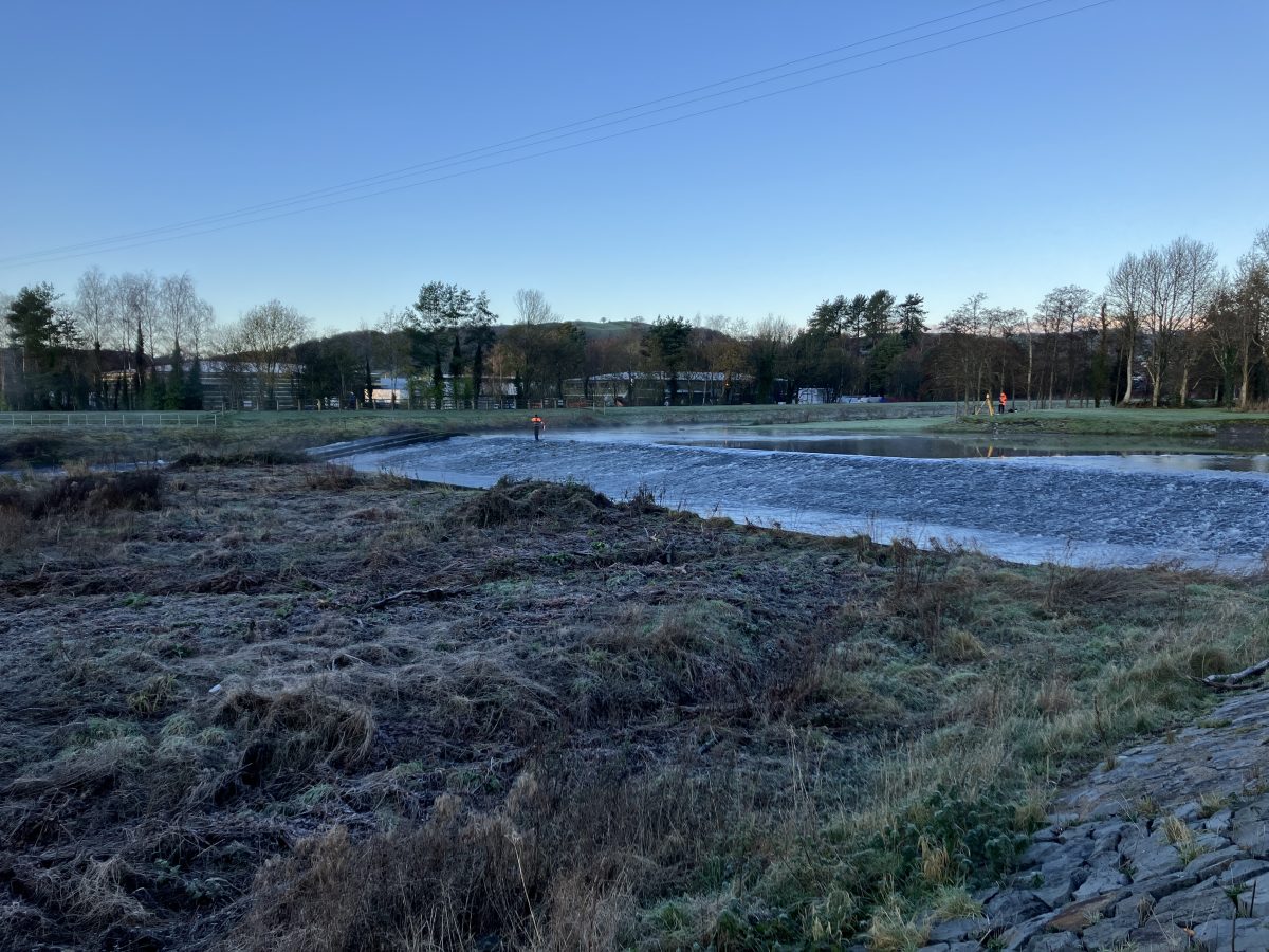
During November 2025, Storm Claudia brought widespread flooding, snowfall, strong winds and major disruption across the survey area. River levels rose dramatically, overtopping flood defences and making access to the main survey reaches unsafe.
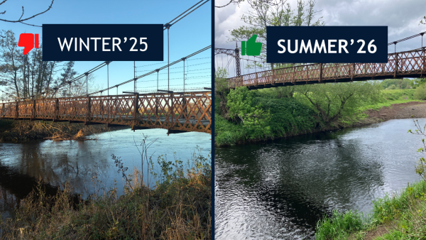
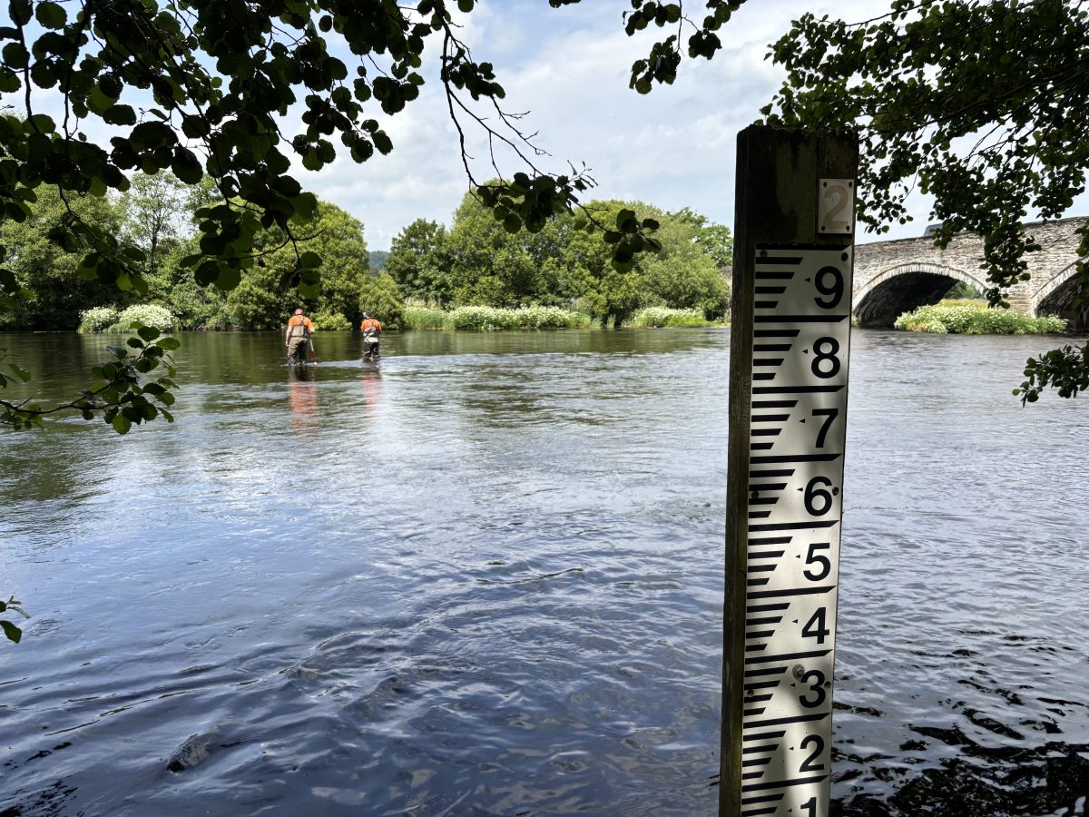
The same river. Two completely different flow levels.
Lesson: Successful projects are defined by how effectively survey teams respond when plans change.
Lesson 2: Patience Creates Better Data
The inclement weather systems continued into the New Year, with further extreme weather and snowmelt maintaining elevated river levels across the catchment. Access to key locations remained restricted well into spring 2026.
During this period, Survey Manager Matt Maddalena closely monitored river-level gauges and weather forecasts, waiting for the right window to
safely redeploy.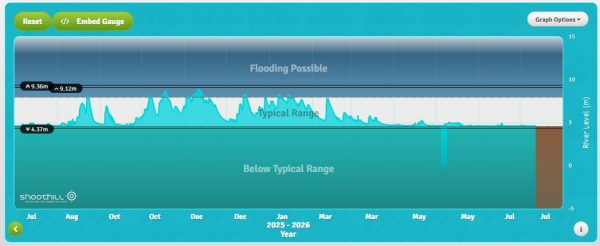
When conditions finally improved, during the dry summer months the benefits were significant.
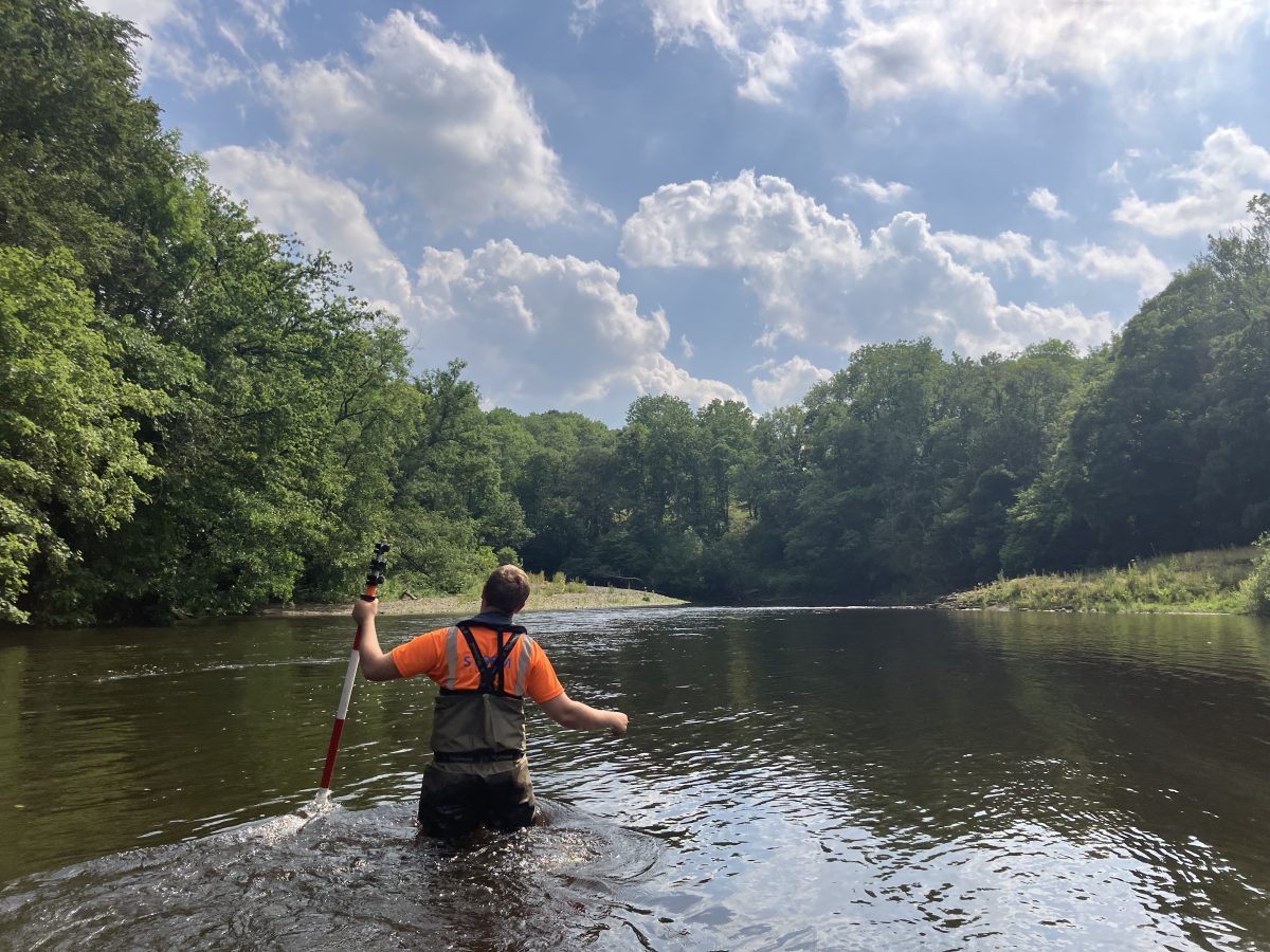
Lower water levels allowed greater access to the river channels, enabling more comprehensive in-channel survey coverage and improved data capture.
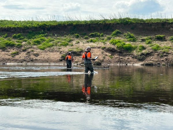
Lesson: Sometimes the fastest route to a successful outcome is knowing when to wait.
Lesson 3: Extreme Weather Is Becoming the New Normal
By summer, the challenge had shifted completely.
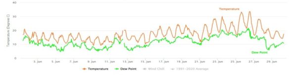
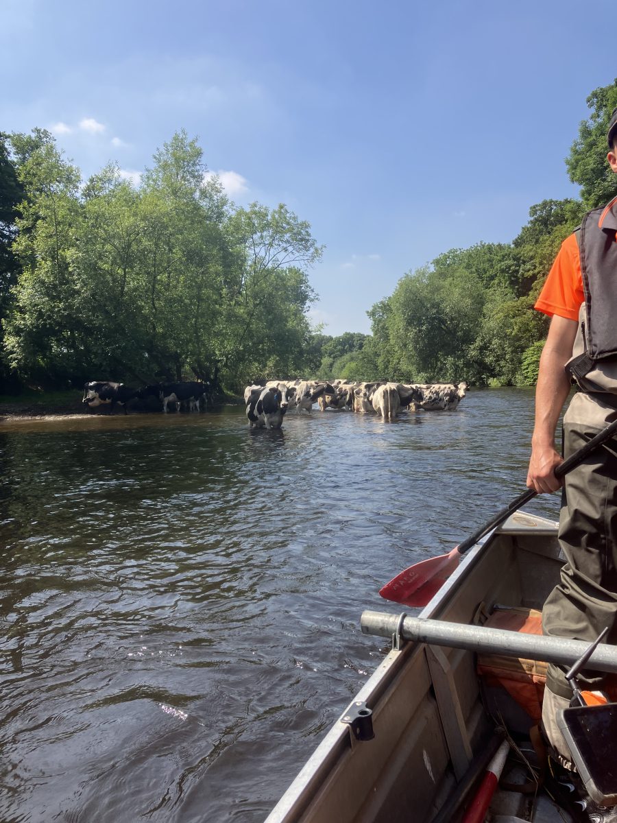
The same teams who had previously faced flooding and snow found themselves working through temperatures exceeding 35°C during June heatwaves.
The contrast between winter floods and summer heat provided a striking reminder of how dramatically environmental conditions can change within a single project lifecycle.
For organisations responsible for managing flood risk and infrastructure resilience, this reinforces an increasingly important reality:
Climate variability is no longer a future consideration. It’s a current operational challenge.
The Results
The survey was successfully completed and delivered, providing detailed outputs to support hydraulic modelling and future flood risk assessment throughout the Dee catchment. Deliverables included Flood Modeller Pro, TUFLOW, CAD drawings, XYZ files, EACSD data and georeferenced photography generated using Storm Geomatics’ GeoRiver® software.
But perhaps the most important outcome wasn’t the final dataset.
It was the demonstration that resilience, flexibility and specialist river survey experience remain just as important as technology when delivering complex projects in unpredictable conditions.
From winter floods and storm systems to summer heatwaves, the project certainly earned its title:
A Survey of Ice & Fire.
- Matt Maddalena
Survey ManagerRecent News
What Happens When Rivers Go Digital?
How To Keep Survey Projects Moving During a Record-Breaking Summer