
What Are You Modelling That You Haven’t Measured?

In October Storm Geomatics looked at why getting the survey data accurate, matters before assumptions travel further into design and decision-making.
Every missing cross section, poorly defined structure or assumed level introduces uncertainty before the modelling has even begun. As AMP8 gathers pace, is your existing survey data still fit for the decisions being made from it?
A hydraulic model can only represent the river system described by its inputs. Consider a reach containing bridges, weirs, culverts, embankments and changes in channel geometry. Each has the potential to influence how water moves through the system. If a cross section does not adequately represent channel geometry, there is uncertainty around the representation of conveyance.
If a hydraulic structure is poorly defined, the modeller may have to make assumptions about the physical control. The model can still run but mainly on assumptions.
Within AMP8 water companies, design consultants and delivery partners are progressing into hydraulic modelling, design and intervention. Storm’s recent AMP8 article examines the uncertainty surrounding river assets and the role appropriate geospatial survey data can play in resolving it. Read: AMP8 River Asset – Better Decisions through Geospatial Data
The survey specification must be accurate before anyone ventures to site. Storm surveyors need to understand what the survey will ultimately be used for. Establishing these objectives early will ensure efficiency. Understanding what is needed before collecting it can be just as important as survey accuracy itself. How do Storm achieve this for every survey they undertake?
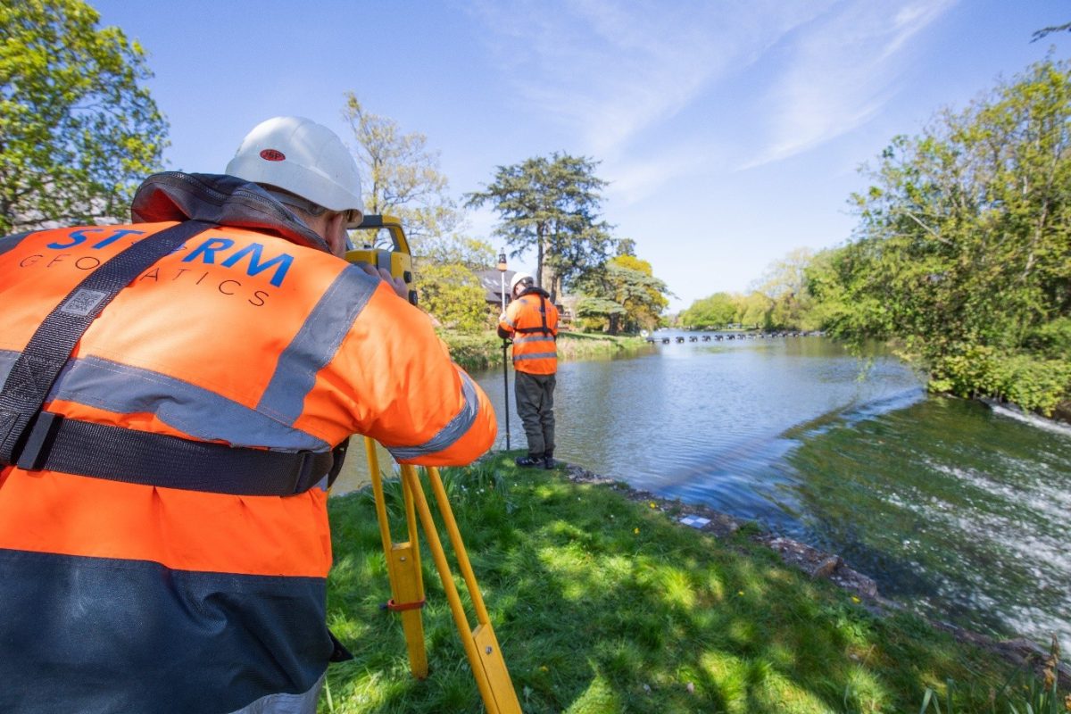
Director Anthony Pritchard explains
“We want to understand our clients wants & needs to get the best value in their data to fit into their systems seamlessly”
Rivers Taff & Ely, a Surveyors View
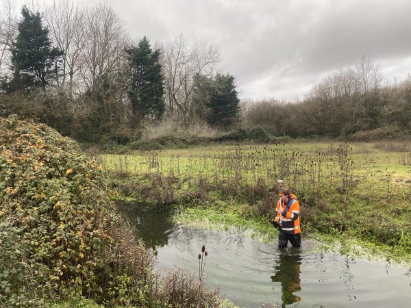
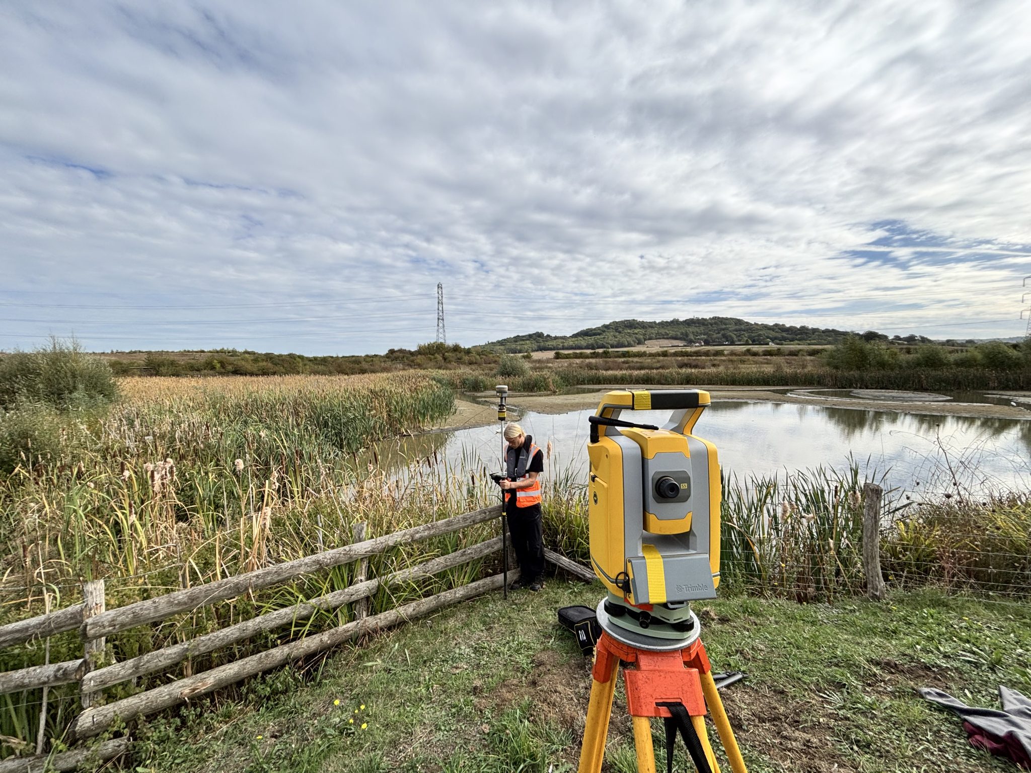
Recent work on the River Taff and River Ely in Cardiff demonstrates the scale of information that can sit behind flood modelling. The value of the survey is providing the modeller with measured geometry with which to represent the river system, rather than leaving critical features to assumption.
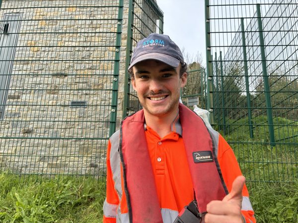
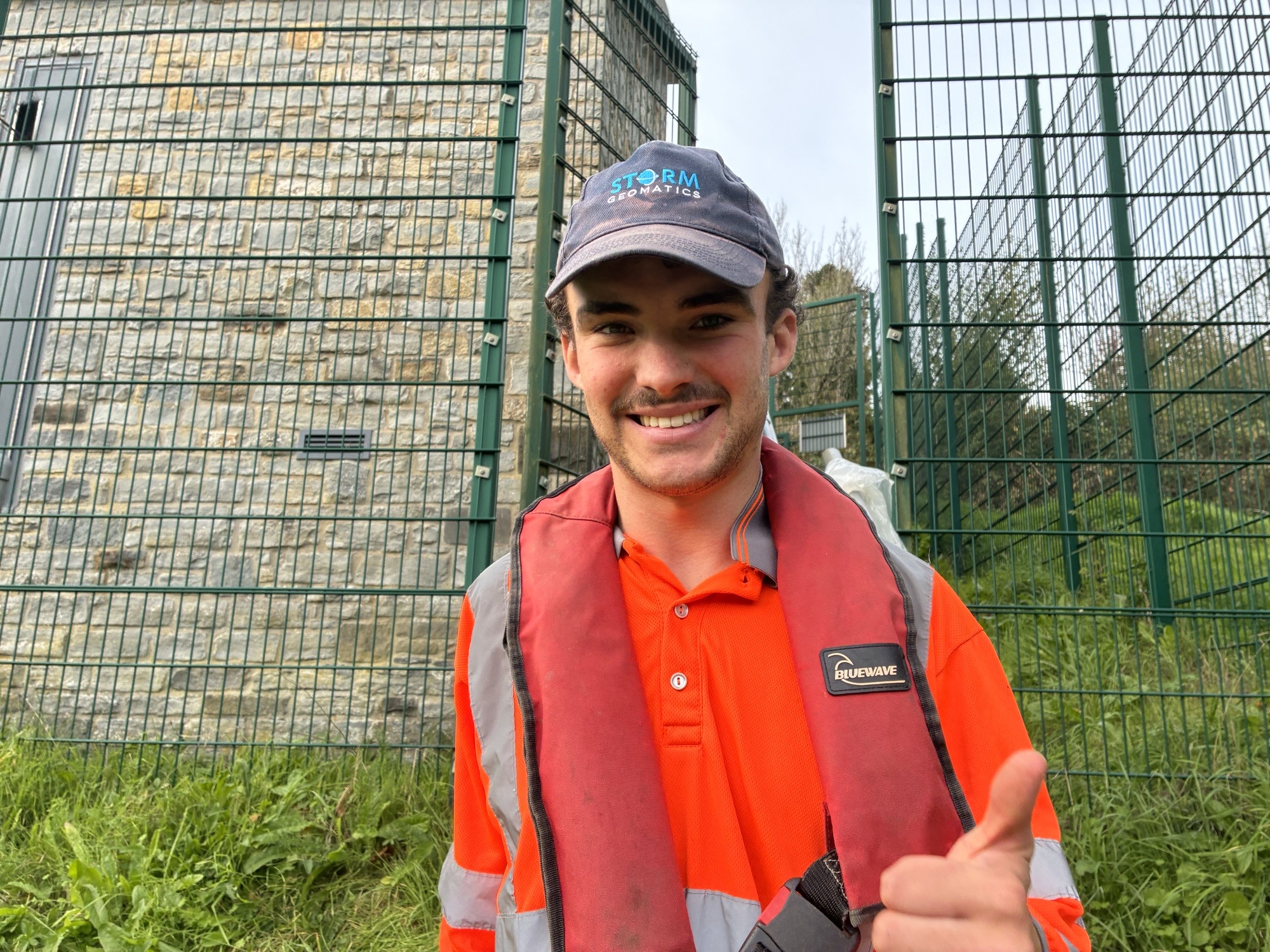
Trainee Surveyor, Ed Duffield first worked on the survey in January 2026, early in his career with Storm. Returning to the rivers later in the year provided an opportunity to see the same project with considerably more field experience. Ed commented;
As someone new to the surveying profession, it was a challenging introduction, with winter conditions, difficult river environments and plenty of learning experiences along the way!
Fast forward to September, and we were back on the same rivers to complete the work. This was a substantial survey, involving 165 cross sections, 100 structural faces, a bathymetric survey and miles of embankments along the Cardiff River network, all contributing towards flood modelling.
This time around, having gained more experience since January, it was interesting to return to the project with a better understanding of the equipment, techniques and challenges involved. With the team back on site, we were able to work through the remaining survey and bring the project to completion.
Looking back, it was a good opportunity to see how much I have developed since starting at Storm. From becoming more confident with survey equipment and fieldwork to understanding the importance of planning, adapting to changing conditions and working effectively as part of a team, the experience has been a valuable part of my development.
Early Career Progress
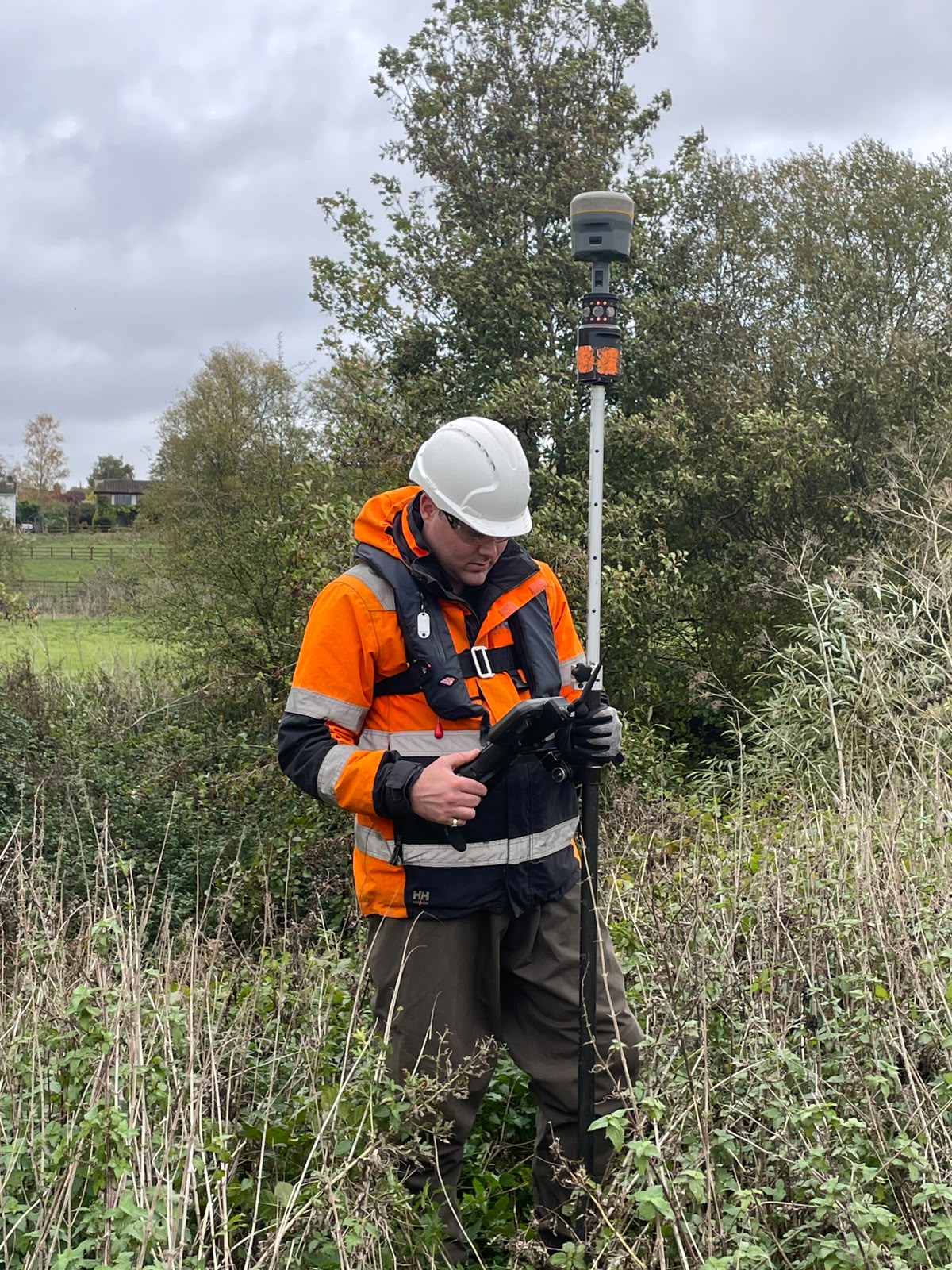
October also saw Daniel Jones promoted to Junior Surveyor, another step in Storm’s continued development of technical capability within the surveying team. Congratulations to Dan, who is also undertaking the Geospatial Apprenticeship at Dudley College alongside his full time role with Storm.
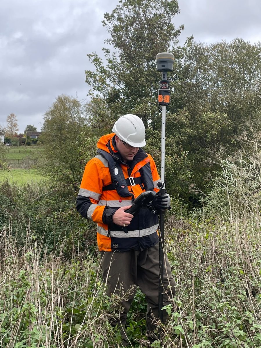
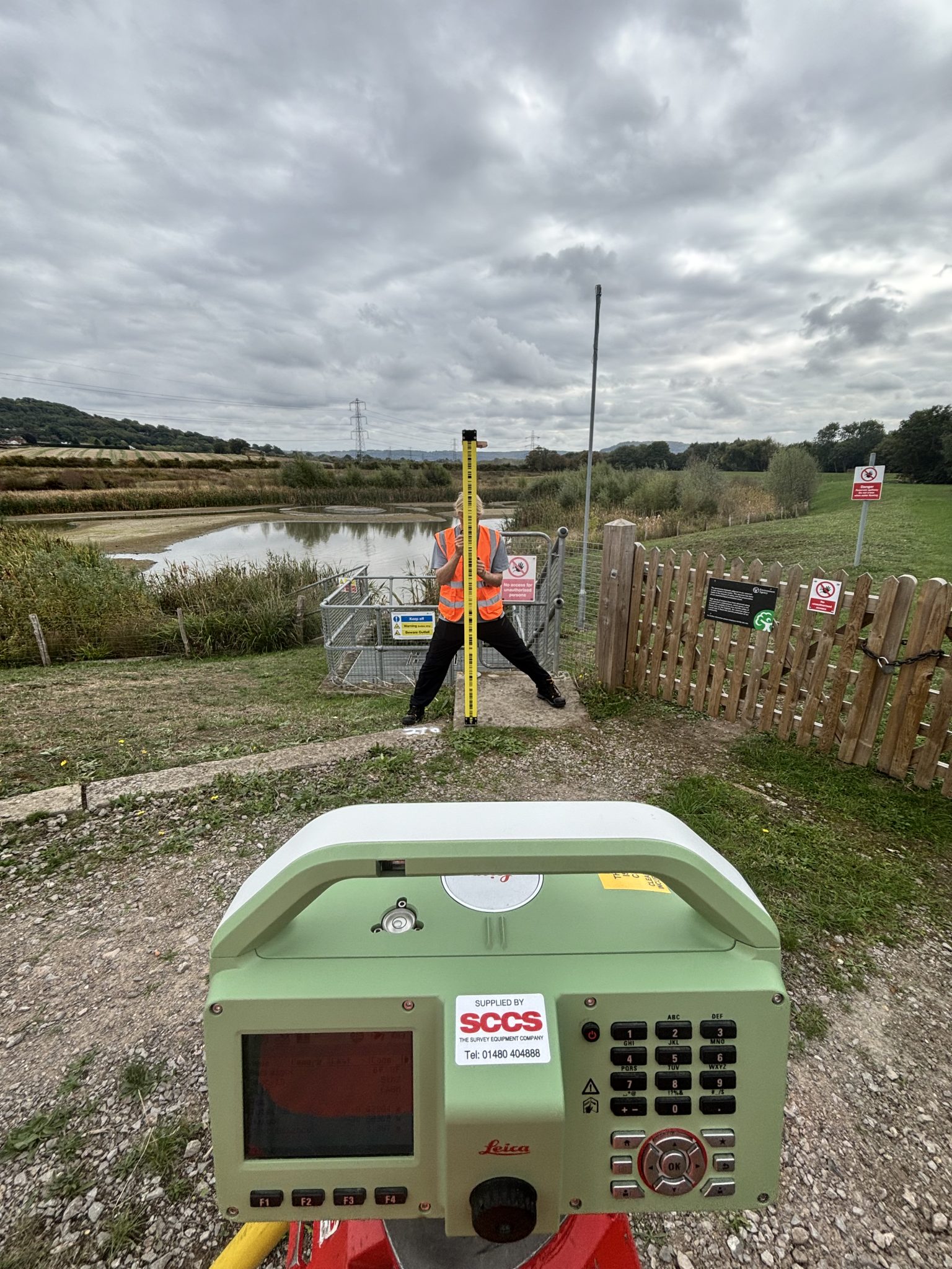
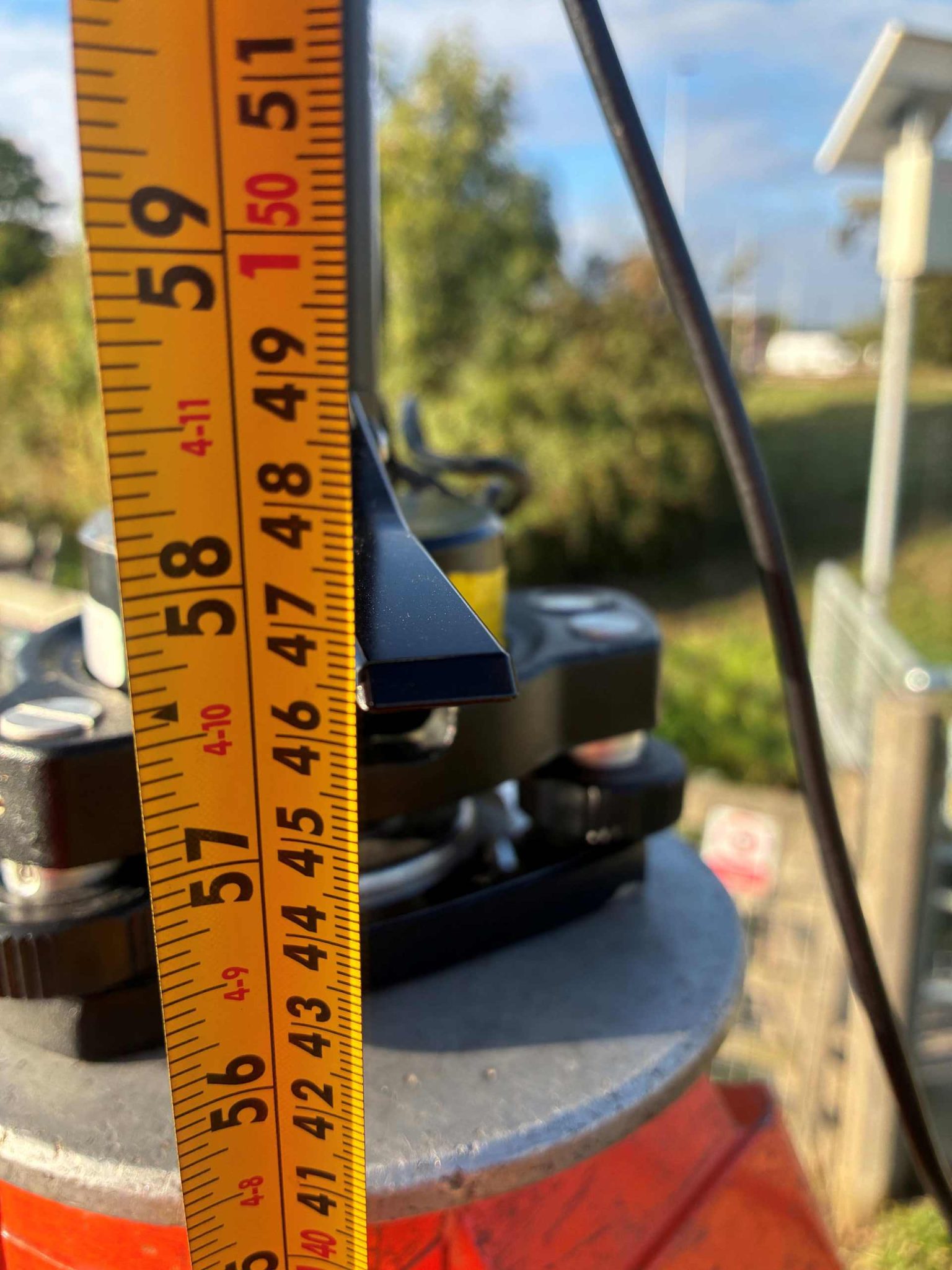
Dan has been a positive and keen learner from his first day as part of Storm Geomatics, he can be seen in this photo performing a setting out task to supplement his knowledge for the next stage of his apprenticeship .
20 years of the same fundamental question
October also marked 20 years since the incorporation of Storm Geomatics. Survey technology has changed considerably during that period, but the fundamental client requirement hasn’t:
What do we need to measure to understand this river properly? So that flooding can be reduced and natural habitats improved.
That question sits behind our new Into Our Archives series. Please follow along from our LinkedIn page.
Rather than simply looking back at old survey projects, Storm revisit the engineering problems behind them, what information was required and how geospatial data contributed to the solution. Twenty years of river surveying has taught the team that collecting data is only part of their skills. Knowing what needs to be measured, and why, is where the value begins. Storm clients now invite Storm surveyors to be an integral part of every project from the conception of the idea.


Other News
How To Keep Survey Projects Moving During a Record-Breaking Summer
Storm Claudia vs Storm Geomatics: When Nature Tests