


Before the Beavers came the Survey
How geospatial survey data underpinned flood alleviation planning at Paradise Fields, Greenford before it became London's First Urban Beaver Flood Resilience Project.
The Background
- Date
- 2020 - 2023
- Client
- Metis
When the London Borough of Ealing commissioned concept design work for a flood alleviation scheme at Paradise Fields Open Space and Ravenor Park, a detailed understanding of the existing landscape was essential. To support the design process, Storm Geomatics delivered a comprehensive programme of topographical, watercourse and drainage asset surveys across both sites.
The survey data provided project stakeholders with the baseline information required to understand existing drainage infrastructure, watercourses, wetlands and topography, supporting the early stages of flood resilience planning
Fast forward three years , Paradise Fields would become home to London’s first urban beaver reintroduction fully accessible to the public, forming part of the wider The Ealing Beaver Project.
The Challenge
Flood alleviation projects require accurate, reliable information to inform design decisions in the form of geospatial data. Project stakeholders needed a detailed understanding of
- Existing drainage infrastructure
- Watercourse geometry and flow routes
- Wetland and pond features
- Existing ground levels and topography
- Constraints and opportunities across the site
Without accurate survey data, it would be difficult to assess existing conditions or develop future flood management proposals with confidence.
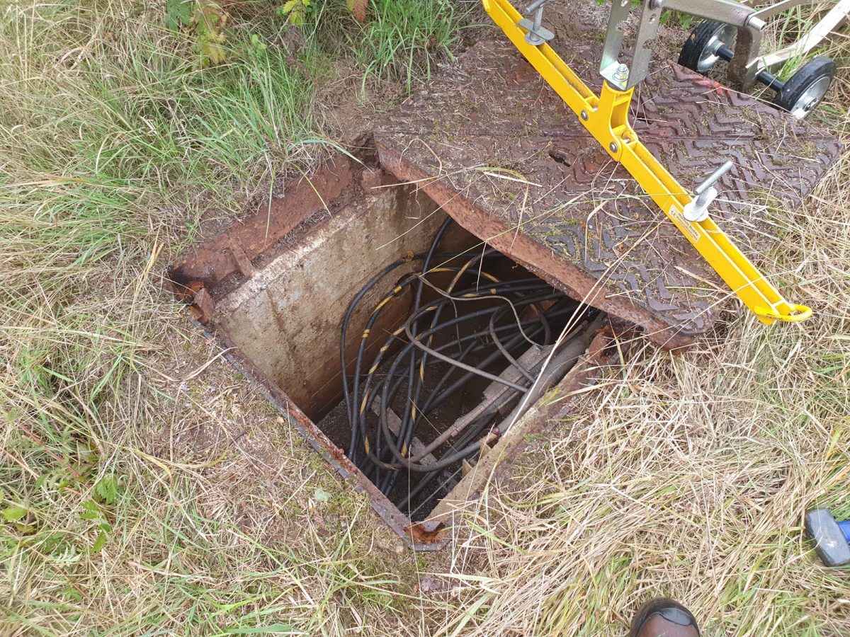
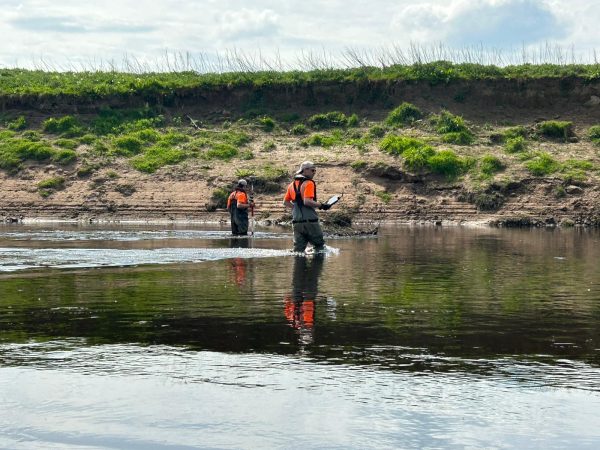
So Storm Geomatics set about delivering a coordinated survey package across both sites to support concept design activities. This included drainage asset survey that included inlet and outlet features associated with wetlands and water courses. Also Watercourse Surveys that included
- 200m of watercourse within Paradise Fields Open Space
- 400m of watercourse within Ravenor Park
The survey specification required cross-sections at regular intervals to capture channel geometry and support future design activities.
Finally Topographical Surveys that recorded:
- Existing surface levels
- Trees and vegetation
- Roads and footpaths
- Drainage features
- Significant landscape characteristics

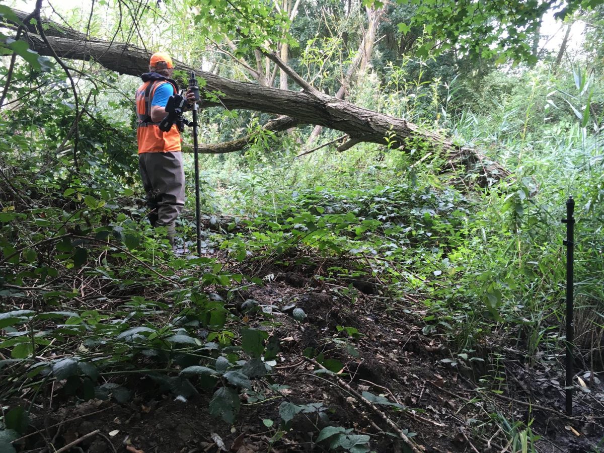
Dense foliage tested survey skills during the topographic survey.
The Results
Storm’s survey data work provided the baseline data required to support flood alleviation concept design and improve understanding of existing site conditions.
According to the The Ealing Beaver Project, the site later became the focus of a wider environmental initiative involving habitat restoration, public engagement and beaver reintroduction. Following site assessments, consultation and licensing, a family of five beavers was released at Paradise Fields in October 2023. The project describes this as the first urban beaver reintroduction fully accessible to the public.
This project demonstrates how flood resilience objectives, environmental enhancement and community engagement can be brought together through long-term planning and collaboration. The success of this project is unpinned with Right First Time Geospatial Data supplied by Storm Geomatics.
The wider project can be explored in more detail:

Recent News
What Happens When Rivers Go Digital?
How To Keep Survey Projects Moving During a Record-Breaking Summer