Using Hydraulic Modelling
The Background
- Date
- Oct 2019
The Lower Thames Crossing (LTC) is a proposed motorway crossing of the Thames estuary between Essex and Kent with new infrastructure and operational arrangements to increase the capacity and improve the resilience of the Strategic Road Network.
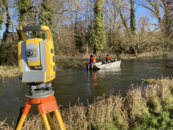
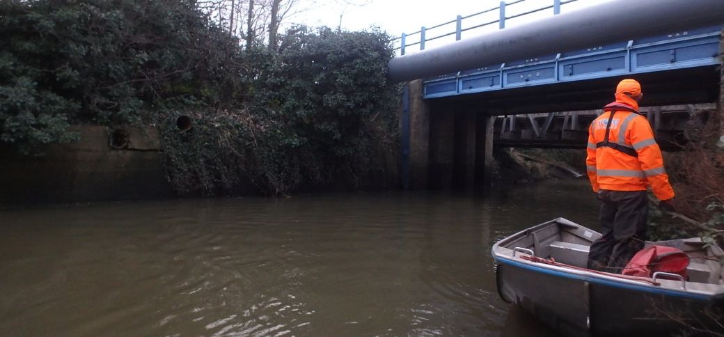
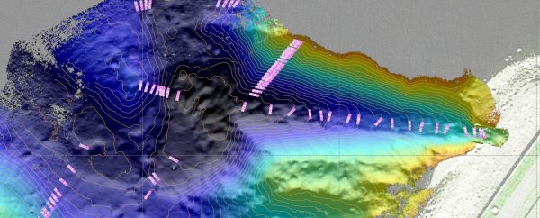
New roads crossing existing rivers could potentially restrict the conveyance of water across the flood plains, a hydraulic model was needed to visualise the impact on flooding the road could have and how this could be mitigated in the design.
The Requirements
The surveys included the measurement and presentation of geospatial data of six rivers in the Thames River Basin District:
- Mardyke 4.8km
- West Mardyke 1.3km
- Orsett Fen Sewer 11.0km
- Golden Bridge Sewer 2.1km
- Stringcock Sewer 1.7km
- Tilbury Main 3.5km
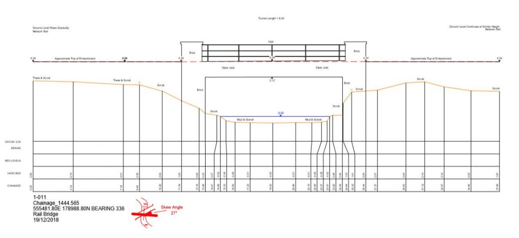
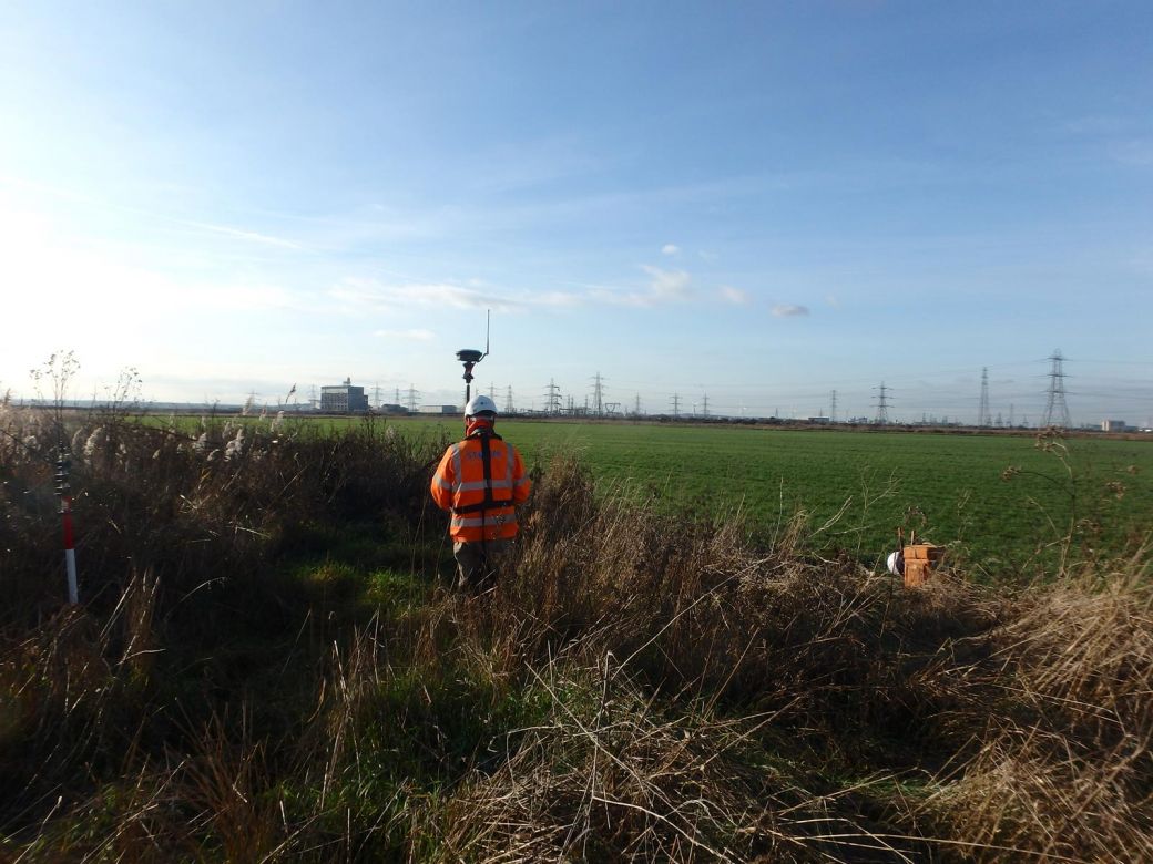
All Storm Geomatics surveyors and assistants are trained in water safety (DEFRA Working in Water Awareness Level 2) and first aid (RYA first aid). They are specifically trained in the capture of source data for river modelling which is why they were selected for this particular project. The experienced surveyors dealt with the site conditions without an incident and delivered hydraulic model data specific to the client’s hydraulic modelling system. The team of eight surveyors completed the entire survey in four weeks and delivered it after a four day quality check. Alongside the required geospatial deliverables a full report of the survey was presented detailing the accuracies achieved, conditions of some of the poorly maintained structures and other useful information local to each watercourse.
The Results
Storms understanding of the customers’ requirements especially regarding the timescales made this project a great success. The surveyors were able to provide a staged delivery so that both the modelling and surveying was being undertaken in parallel. The project design will go to the Planning Inspectorate in the year 2020 to decide if the application meets the standards required to proceed.
Finally, I would happy to engage Storm Geomatics on future commissions and would not hesitate to recommend you to colleagues and clients.”
Recent News
Positioning a Syphon Pipe in Winter? Tough Guy Surveyors get it done.

Leaky Dams – can they hold back the flood?