
What Happens When Rivers Go Digital?

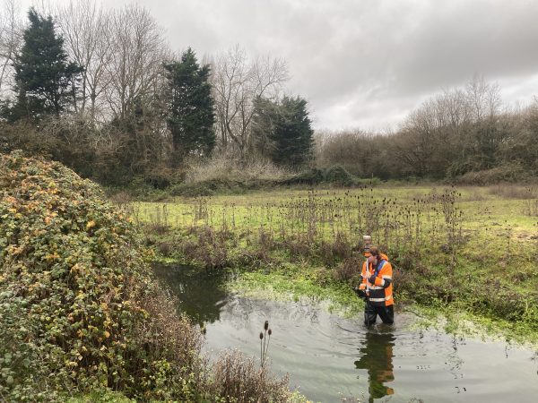
Flood risk, climate change and ageing river assets demand a better understanding or rivers. Projects during August helped discover how River Digital Twins® are transforming river asset management.
River managers have never had access to more information. From topographic surveys and bathymetric data to hydraulic models, environmental monitoring networks and ecological assessments, vast amounts of information are being collected across river corridors every year. The challenge is not only capturing “hard to reach” geospatial data at the bottom of a river, but transforming that data into meaningful insights and better decisions.
The pressures facing river asset stakeholders have never been greater. Flood risk, climate change, biodiversity recovery, water quality, infrastructure resilience and competing land-use demands all influence how rivers are managed. At the same time, project teams are often working across fragmented datasets collected by different organisations, at different times and for different purposes.
The Rise of the River Digital Twin®
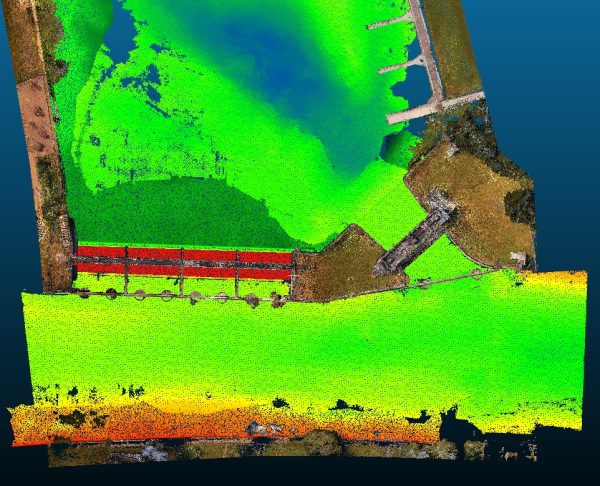
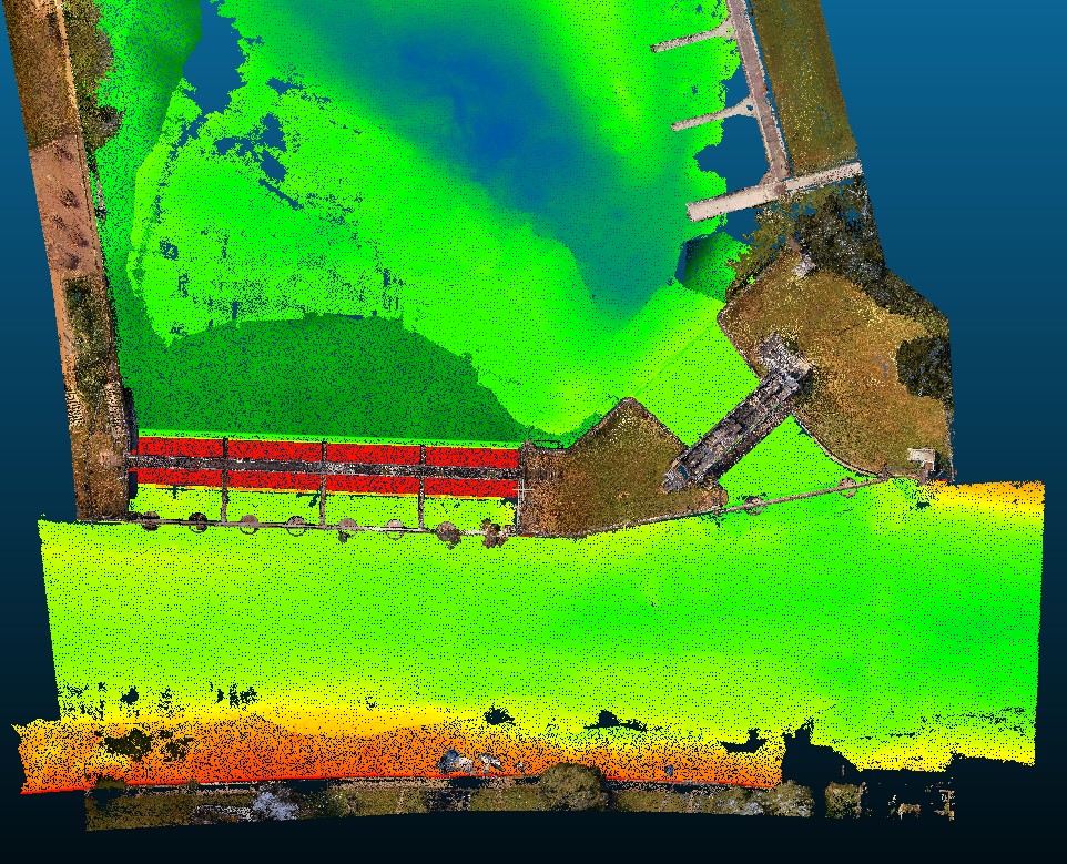
The concept of the River Digital Twin® emerged from this challenge. Developed by Storm Geomatics, it combines survey-grade geospatial data, hydraulic modelling, environmental monitoring and visualisation technologies to create a digital representation of a river corridor. Rather than replacing traditional surveys or modelling, it provides a framework that helps connect them.
Mike Hopkins, Managing Director of Storm Geomatics, believes the greatest opportunity lies in improving understanding across stakeholder groups.
Capturing geospatial data of rivers is a huge challenge but putting the data to task is a bigger one. Sharing river geospatial data across stakeholders often takes many forms which makes it costly to produce, the River Digital Twin® solves this and is helping stakeholders understand what that data is telling them and how it should influence future decisions. River projects bring together engineers, ecologists, regulators, landowners and local communities, all working from different perspectives. A River Digital Twin® helps create a shared understanding that supports better outcomes.”
Your opportunity to learn more is available here River Digital Twin®: A New Way to Understand Rivers
Learning from Climate Extremes on the River Dee
While digital innovation is helping improve river management, successful projects still depend on understanding the natural environment.
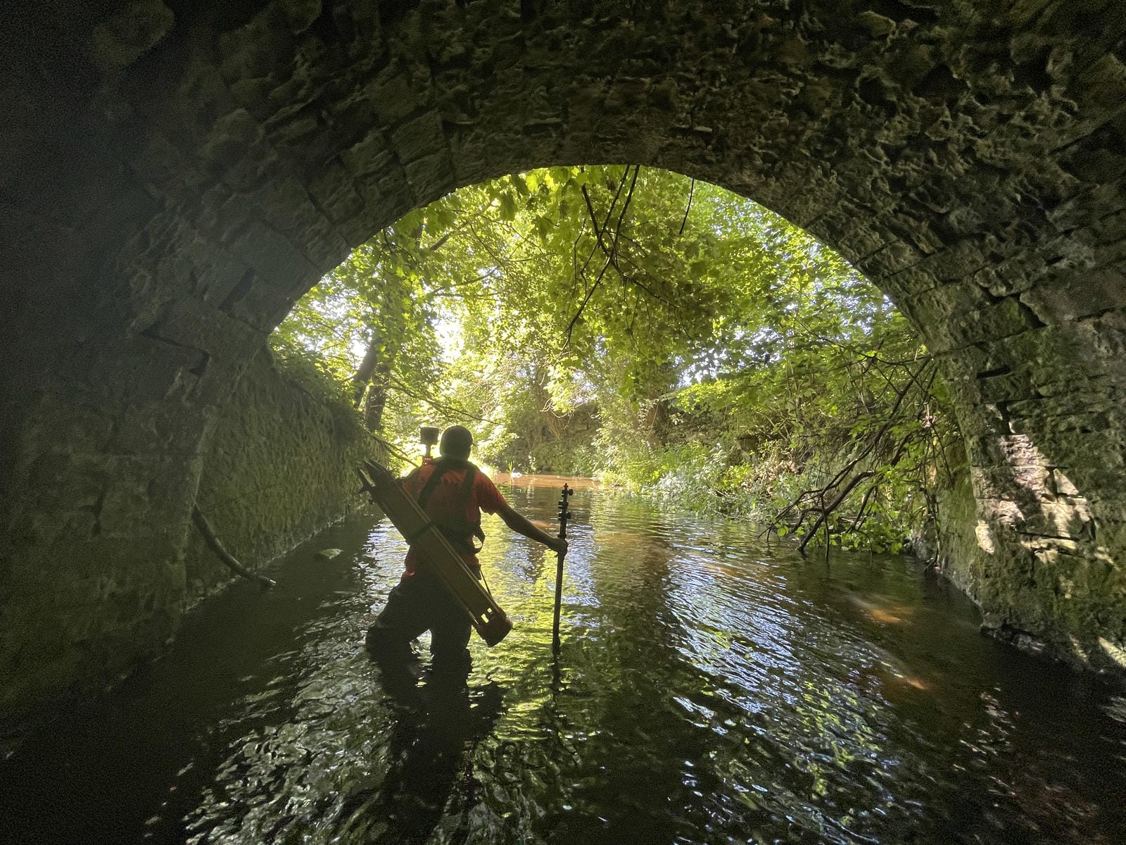
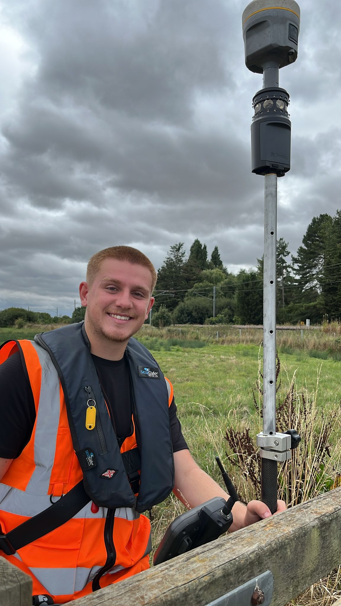
A recent River Dee survey project highlighted how extreme weather conditions can significantly influence project delivery. The project began during Winter 2025 where winter storms and flooding prevented progress being kept to schedule and causing delays. Once surveyors redeployed in summer unusually high temperatures, creating challenging operational conditions and emphasising the importance of selecting the right survey window.
The experience reinforced an important lesson for river asset owners: timing matters. Environmental conditions directly influence site access, survey quality, programme certainty which, in turn affect project costs. By aligning survey schedules with seasonal river conditions, organisations can reduce risk, improve efficiency and maximise return on investment.
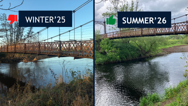
The River Dee project serves as a practical example of how combining environmental understanding with robust survey planning can deliver better outcomes in an increasingly unpredictable climate.
Alongside the River Dee, Storm Geomatics has continued to support projects including Avon Weirs and Colt Crag, helping clients collect the high-quality geospatial data needed to make informed decisions about critical river and environmental assets.
Sustainability Update: Powering a Lower-Carbon Future
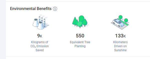
Sustainability remains a key focus across Storm Geomatics’ operations. The solar energy installation continues to generate renewable electricity that contributes towards charging the company’s electric vehicle fleet, supporting lower-carbon travel and reducing reliance on grid-supplied energy. It is a quiet satisfaction knowing that the vehicle fleet is being powered from the sunshine!
By monitoring energy generation and utilisation, Storm is building a greater understanding of how renewable technologies can support both operational efficiency and environmental responsibility, while continuing to deliver high-quality survey services across the UK.
Investing in People: Developing the Next Generation of Surveyors
Storm Geomatics continues to grow, and investing in our people remains one of our highest priorities.
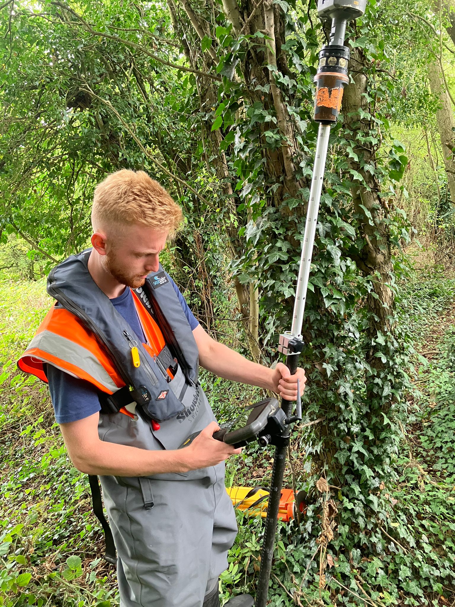
During August Storm welcomed Ollie Thorn and Ed Kelly as Trainee Surveyors as they begin their professional journey within the business.
We are also pleased to welcome Katie Kavanagh as Technical Training Manager. Bringing extensive experience in technical training and professional development, Katie will lead the continued evolution of Storm’s training framework, helping to attract, develop and retain talented surveyors in an increasingly competitive market. Her work will align closely with Storm’s CICES Approved Development Scheme, providing structured pathways that support career progression from trainee level through to professional qualification and beyond.

“The way people learn, develop and build their careers is changing, and today’s workforce is more mobile than ever before. To continue attracting, developing and retaining the very best talent, we must continually evolve our approach to training and professional development. Katie’s appointment is a significant step forward for Storm, and I am delighted to welcome her to the team.”
Anthony Pritchard, Technical Director at Storm Geomatics



Other News
Geospatial Data Powers Asset Management
January’s Surveying Surge: Holding Back the Flood