Enhancing Flood Modelling Through Targeted Channel Survey
The Background
- Date
- May 2026
- Client
- Eden Vale Young
Storm Geomatics was commissioned to support a flood risk assessment project at Nuthurst Stream in Cranleigh, delivering a detailed channel survey to strengthen and expand an existing dataset.
The client already held partial survey data; however, key gaps and missing upstream sections limited its effectiveness for robust flood modelling. Storm’s role was to supplement, verify and extend the dataset, ensuring it met the standards required for accurate hydraulic modelling.
The Challenge of Surveying Nuthurst Stream
The project presented several technical and environmental challenges:
- Incomplete legacy data required validation and extension
- Critical upstream sections had not been surveyed
- A requirement for check sections to assess existing data accuracy
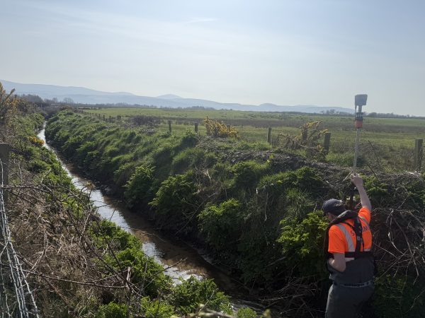
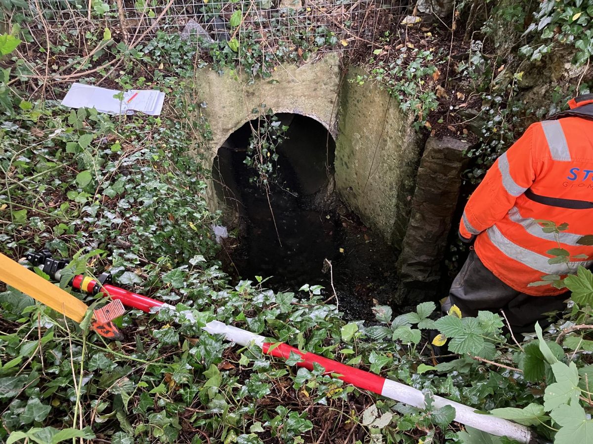
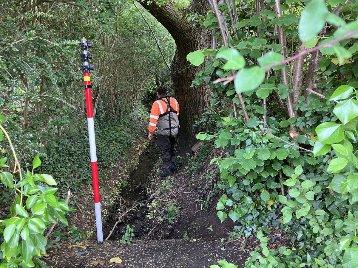
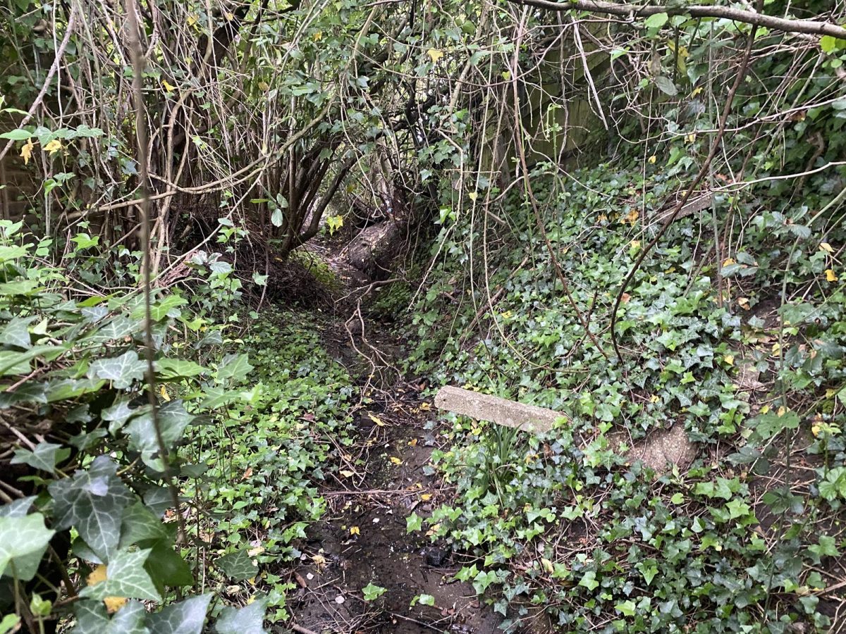
- A physically constrained river corridor with dense vegetation and restricted access
- Proximity to residential properties, increasing the need for precise bank level data
One of the most demanding areas was a narrow stream section between residential properties, heavily enclosed by vegetation and canopy cover, restricting visibility and survey access.
Storm’s Approach
To overcome these challenges Storm worked closely with the client from the first project planning meeting to develop a tailored survey specification. Ensuring the capture of all relevant hydraulic features by identifying data gaps to create a highly detailed data set that will offer the client confidence that both the old and new data sets form a coherent foundation for modelling.
To ensure reliability of the final flood model, surveyors conducted new survey sections upstream of the existing dataset and re surveyed selected check sections from the old data.
This process checked the accuracy and usability of previously collected data.
The constrained residential reach required careful planning and adaptability:
- A public footpath corridor was utilised to achieve sufficient visibility for survey equipment
- Selective vegetation clearance enabled safe and effective access along the channel
- Additional site time was allocated at quotation stage to accommodate complexity
By identifying these constraints early, Storm ensured the project remained efficient, safe, and on schedule, despite physical limitations.
The Results
Storm Geomatics successfully delivered a fully integrated channel survey dataset with extended upstream coverage for improved modelling accuracy. This included detailed bank level data that will be critical for identifying flood risk to nearby properties, because a more robust model can now be developed to improve decision making around flood risk management and mitigation.
Recent News

Geospatial Survey Delivery Across UK River Infrastructure

Helping Clients Reduce Risk with Better Geospatial Data