Flood Modelling Improvement in North Yorkshire with Geospatial River Surveys
The Background
- Date
- May 2026
Storm Geomatics was commissioned to deliver detailed channel surveys across four river reaches in a scenic region of North Yorkshire. The primary objective was to support the development of a hydraulic model, alongside resurveying key check sections for comparison against historic datasets.
This work enabled assessment of potential changes in channel shape and capacity, critical for understanding flood risk and long-term river behaviour
The Challenge
This project involved surveying multiple river reaches across rural farmland, accessing privately owned land while maintaining positive stakeholder relationships can at times be a challenge. Conveniently large parts of the survey extent were covered by farmland, often under ownership of one farm. Landowners were contacted in advance and visited on site, all were very accommodating and we often saw them working in their fields as we surveyed.
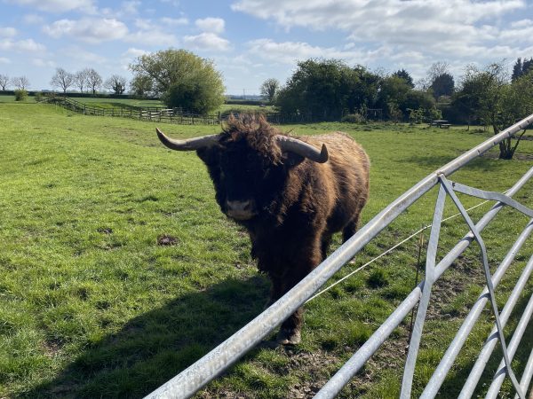
Building relationships with landowners, although only for a short period of time, is vital for the success of survey projects. Talking with landowners our surveyors also get an insight into the local area and how the river interacts with its surroundings, often hearing of flooding events or interesting encounters with wildlife. Surveyors even managed to negotiate access permissions with a rather impressive highland cow!
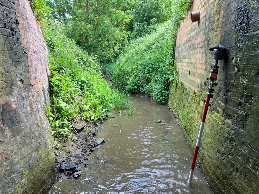
Capturing precise data in areas with dense vegetation along riverbanks can often be a challenge for surveyors but on this occasion the mighty Trimble R12i, with tilt compensation, proved invaluable. It greatly sped up data collection and allowed us to survey in the dense vegetation that lined some of the banks. Investing in highly capable equipment is always a good decision and it is always appreciated by the site staff.
The Results
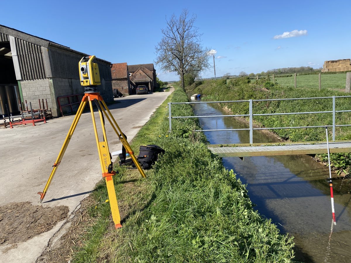
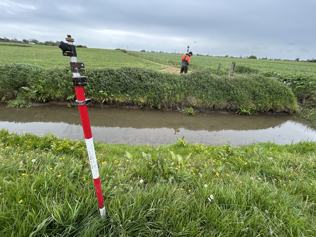
The survey team led by Surveyor James Mayers ensured efficient delivery using a combination of GNSS and total station.
High quality data for hydraulic flood models has provided our client with improved insight into flood risk , that will secure better solutions for people who live and work within the area.
- James Mayers
SurveyorRecent News

Do All Rivers Lead to Liverpool?

Geospatial Survey Delivery Across UK River Infrastructure
