Why Early‑Stage River Survey Data Is Critical to Flood Risk Delivery

Storm Geomatics has now been surveying rivers for nearly 20 years, traditionally March signals a stampede for their surveying services as the financial year end looms for many. 2026 was no exception, with a familiar uplift in demand for specialist services. During the month survey teams were deployed across the UK and beyond, from London to Sheffield and across the Irish Sea to the Isle of Man.
March 2026 has shown a strong (yet familiar!) uplift in enquiries, reflecting year‑end pressures as many organisations look to complete surveys and spend remaining budgets. Toby Moyse
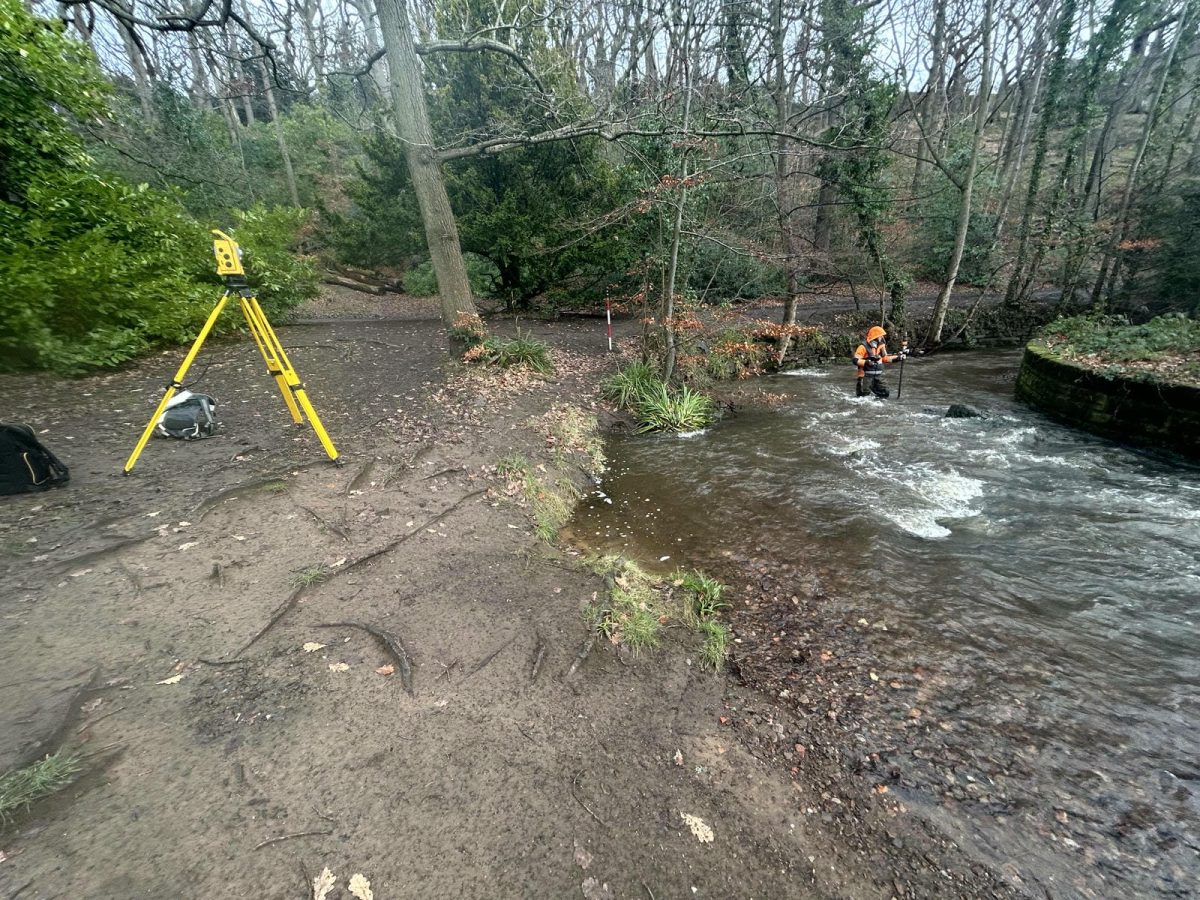
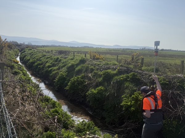
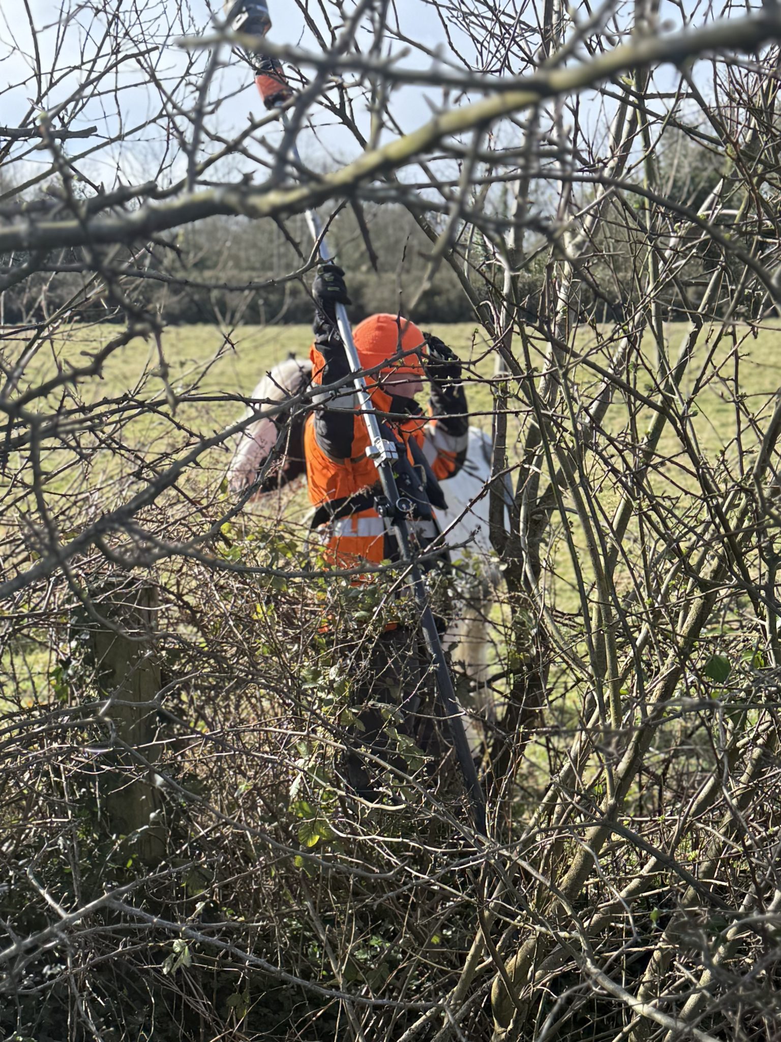
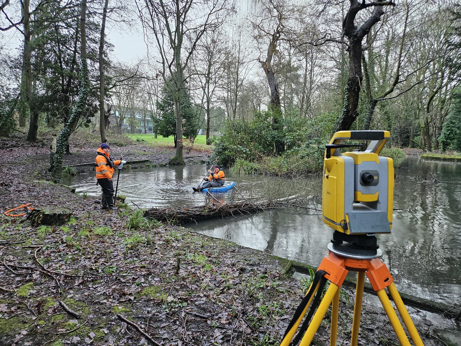
Senior Surveyor Tom Isaac led two teams on a survey commissioned by the Isle of Man Government. The project involved a fluvial channel and topographic survey of Lench Trench system to update fluvial hydraulic models. The data will allow better understanding of flood risk and how best to manage it. The natural rural landscape presented its own challenges, with areas showing dense gorse bushes and brambles, the team had to plan and navigate around and through this unforgiving terrain to collect the data needed. This was the first of two deployments to the island . The team have return to process the data using Storm’s own river model data preparation software GeoRiver®.
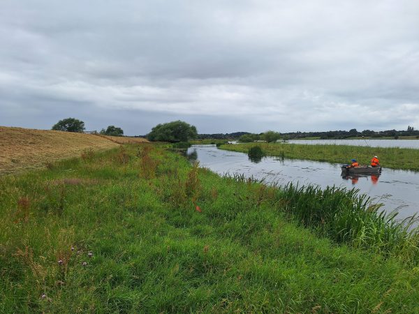
Meanwhile in Sheffield a major survey has been progressing well for our long standing clients Arup, on behalf of Sheffield City Council. This project aims to reduce flood risk for the community. A survey of flood storage areas and flood defences along Porter Brook and River Sheaf were required to assist and better inform flood risk design. This significant sized project meant Storm’s logistical planning was once again brought into play. Surveying rivers in urban environments present their own kind of challenges & commercial risks. This project was no exception.
Led by experience Senior Surveyor Tom Atkinson, his team carried out a series of topographic surveys following collaborative planning meetings with Storm’s client. This early engagement allowed the survey specification to be refined, ensuring the data captured precisely matched its intended design use. Ultimately delivering greater value and supporting more effective flood risk prevention for the community.
Procurement for the Environment Agency’s Collaborative Delivery Framework 2 (CDF2) was launched in late March. This framework will deliver design, construction, and nature-based solutions for flood, coastal and asset management in an eight year framework.
Geospatial survey data will form the foundation of successful CDF2 delivery. Establishing a collaborative partnership with a specialist survey provider early will mean projects kick off correctly from the beginning.
To support teams preparing for CDF2, Storm Geomatics have created a Survey Strategy Playbook packed with practical advice, to help make informed survey decisions. It’s completely free and downloadable.
Alongside the playbook Storm have launched their CDF2 Survey Surgery offering technical clarity ahead of procurement. Storm’s believe this collaborative approach will make sure geospatial data is not a delivery risk under CDF2.
March also saw exciting progress on Storm’s River Digital Twin® service now structured into 4 clear development stages: (the links provided offer more insight into stages 1 and 2.)
- 1. High‑Resolution Point Cloud River Digital Twin® –Redefining River Intelligence
- 2. DTM River Digital Twin® – Elevating River Intelligence
- 3. Live Environmental Sensor River Digital Twin®
- 4. Near‑Real‑Time Operational River Digital Twin®
Mike Hopkins has lead the creation of River Digital Twin® working alongside two experts from the computer & gaming community to create this unique data driven, digital replica of a river system. Follow our article series as the story unfolds.
If you are looking to procure surveyors in the near future, on small principle can make a significant difference:
Engaging surveyors early helps ensure scope and availability are agreed well in advance, enabling us to deliver work efficiently and helping clients avoid the risk of last‑minute project setbacks caused by seasonally elongated lead times.
Toby Moyse


Other News
London’s Underground Tunnels bring out the Rockstar’s of Geospatial Survey
Data to Decisions – Storm’s May Update