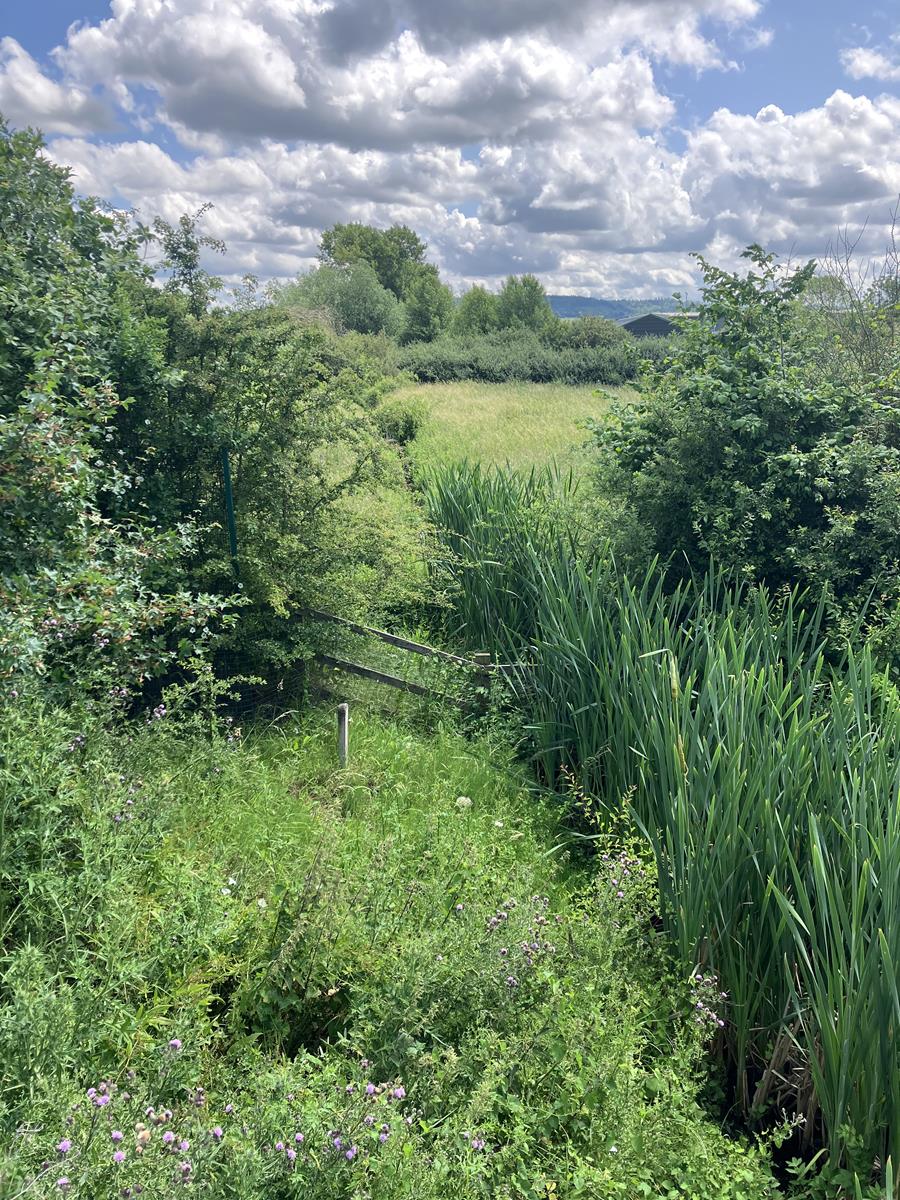
River Condition Assessment
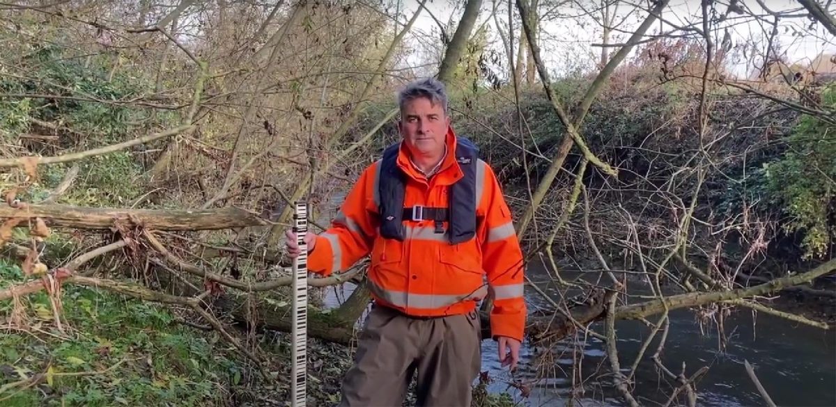
A number of our river surveyors are qualified to carry out MoRPh river surveys which is one component of the River Condition Assessment within Natural England’s Biodiversity Metric 4.0.
The surveys focus on a set of 37 indicators that are found within a river channel and around the bank tops which inform its current condition. The surveys also use an online software tool to create scenario modelling so that interventions to the river channel can be evaluated on a positive or negative outcome. This is a useful survey to have if you are looking to improve the river habitat (Also using River Habitat Surveys) in a reach or require a baseline survey for biodiversity net gain (BNG) reporting. Because our surveyors are safety trained to work in water and have access to accurate river survey equipment such as survey grade GNSS, they resolve many of the ambiguities that other surveyors are unable to because they may not have access within the channel or use high accuracy measuring equipment. By scoring the river more accurately our clients are assured that the baseline biodiversity value they receive has integrity and therefore any targets that are set in the future are likely be more attainable and cost efficient.
We offer this service either on its own or for greater value we run it alongside our hydraulic modelling surveys which are often needed for flood risk assessments.
Our process builds on the method described by Angela M. Gurnell et al., 2010. Assessing river condition: A multiscale approach designed for operational application in the context of biodiversity net gain.”
Executive Summary of the White Paper
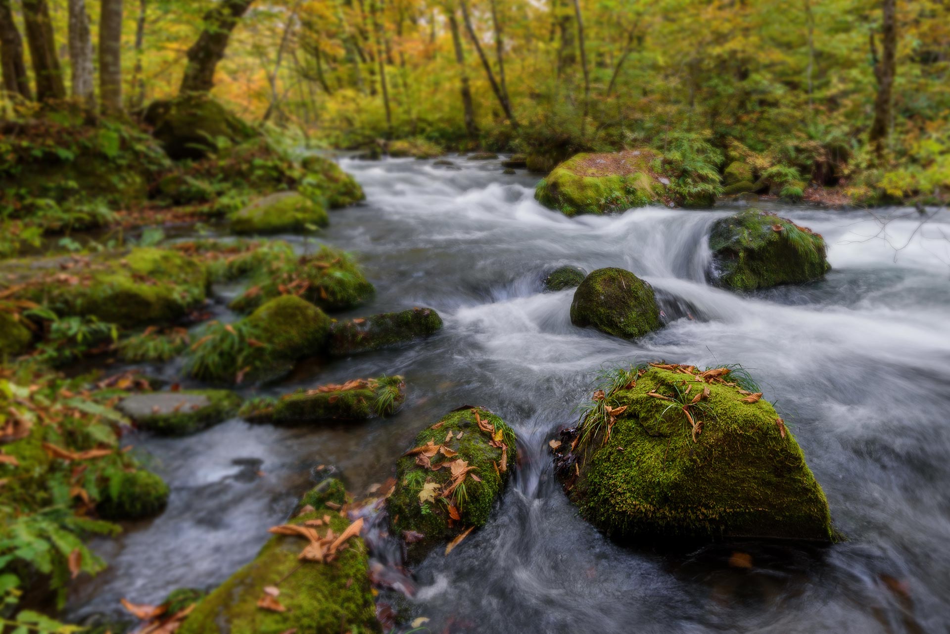
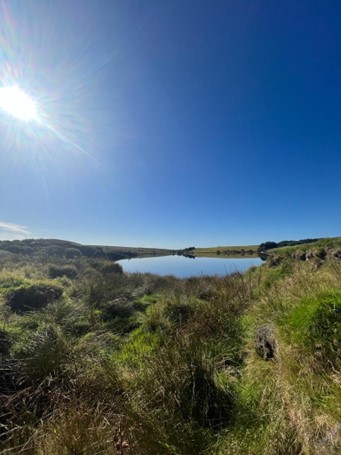
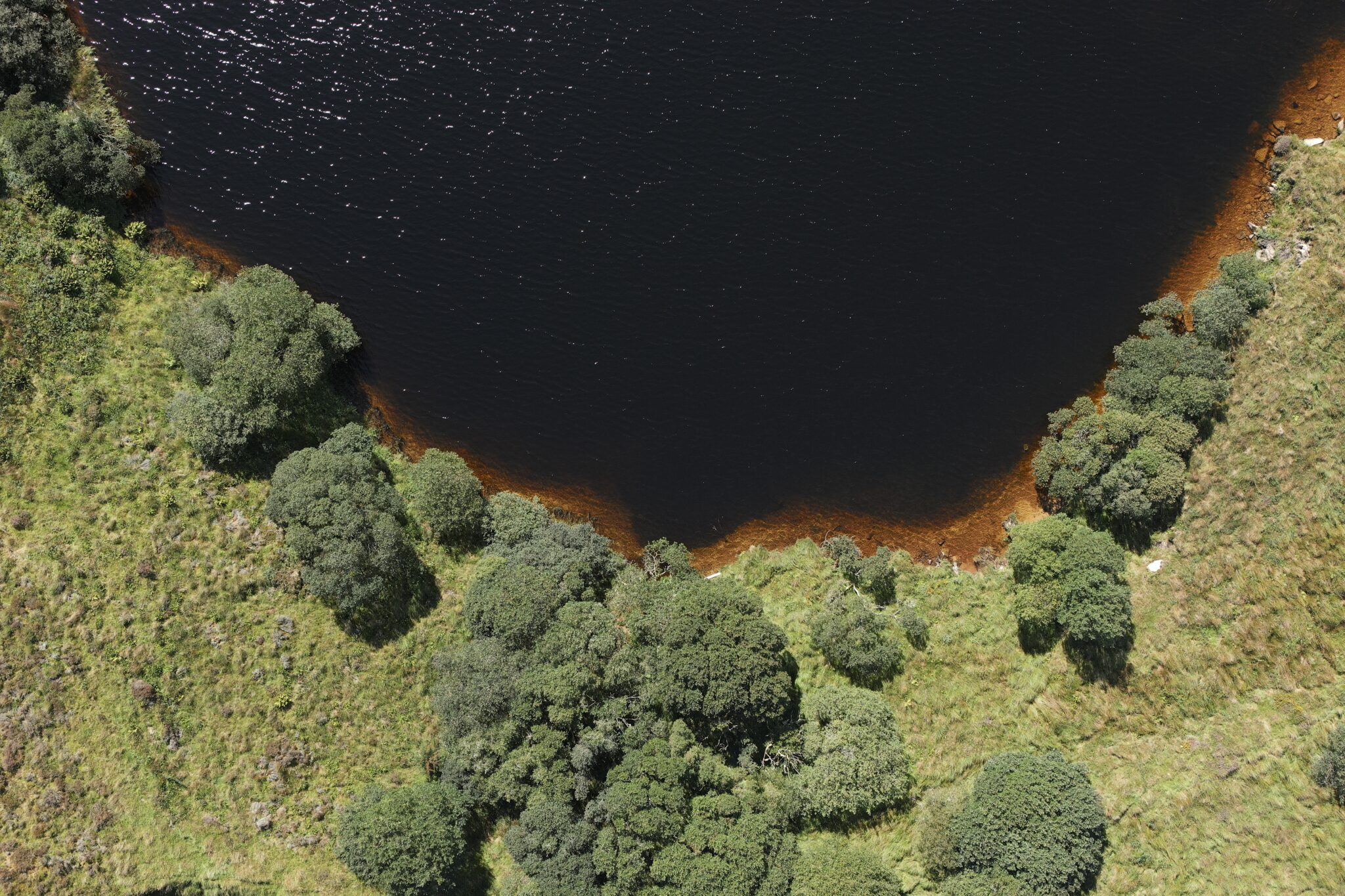
Research into river systems has shown how human intervention influences the biodiversity of rivers. At a time when the recovery of nature is critical in the battle to reverse climate change, river corridors provide an excellent starting point to make biodiversity gains which could spread exponentially into the floodplains and beyond. This paper looks at a metric which is approved by the Department for Environment, Food and Rural Affairs (DEFRA) to measure the condition of a river within a given reach. This paper discusses why you might need a river condition assessment (RCA), how variables that influence the results of the metric are quantified, how different scenarios can be modelled to provide the desired outcomes, and how some highly sensitive variables are measured more accurately to improve the integrity of the river condition assessment score.

Mike Hopkins
Managing DirectorFind Out More
Do you have a River Condition Assessment project we can help with?
Call 01608 664910 or
Recent News

Biodiversity Gains Delivered with Data

Geospatial Data Powers Asset Management