MoRPh river surveys
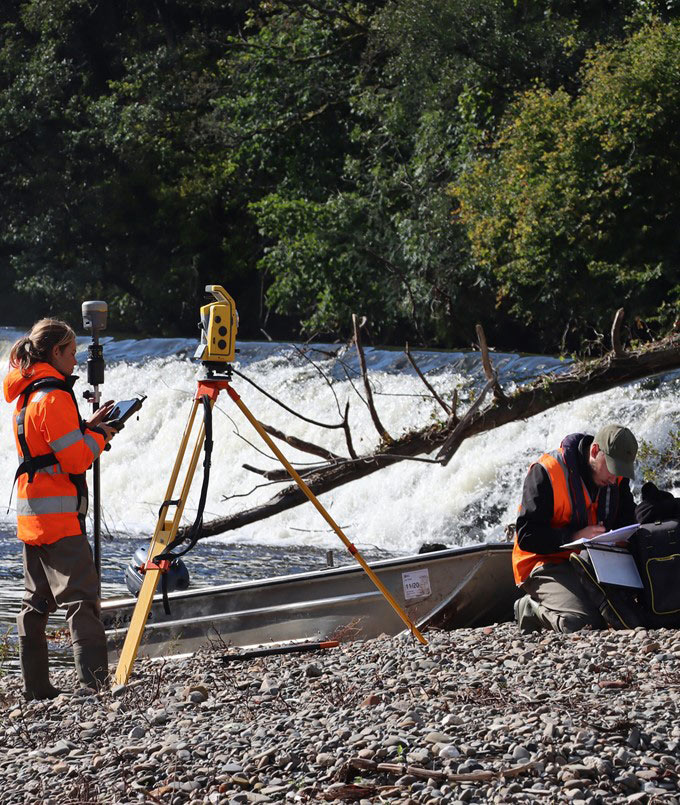
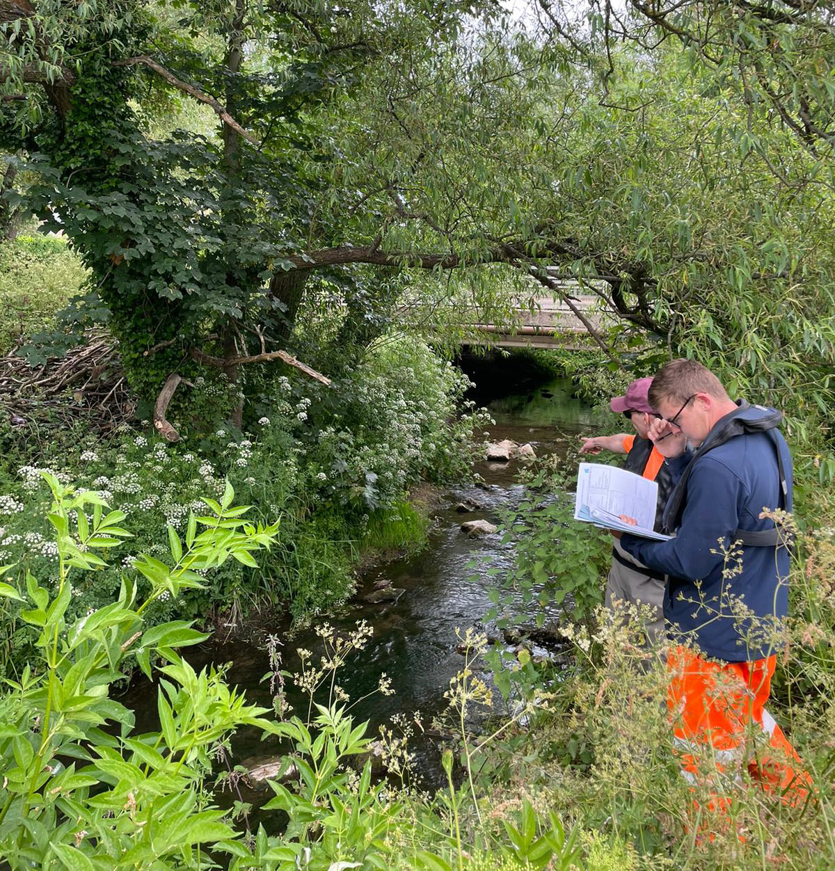
The Modular River Condition Assessment (RCA) tool, or MoRPh River Survey, is a versatile solution for comprehensively assessing the physical and geomorphological attributes of river sub-reaches. Unlike traditional river surveys like the River Habitat Survey (RHS), which covers fixed sub reach lengths of 500 meters and focuses primarily on habitat assessment, MoRPh River surveys provide higher spatial resolutions, allowing for the detection of subtle changes over time. MoRPh River Surveys employ a modular approach, dividing the assessment into manageable units ranging from 10 to 50 meters and then aggregating them into sub-reaches of 50 to 250 meters, offering flexibility regardless of geographical extent. In addition, MoRPh River Surveys boasts comprehensive photographic documentation to ensure a detailed record of river conditions and incorporates a robust geomorphological foundation, ensuring a holistic understanding.
As we look toward a future where biodiversity net gain (BNG) and a 10% uplift will become a legal requirement for new developments where a river is within the red line boundary, Storm Geomatics fully trained and accredited surveyors in MoRPh River Surveys are well-equipped to deliver accurate assessments of river sub-reach conditions. Overall, Modular River Condition Assessments will become invaluable resources for you to produce holistic river evaluations, which are required for BNG calculations.
Find Out More
Do you have a MoRPh river surveys project we can help with?
Call 01608 664910 or