EACSD v3.2
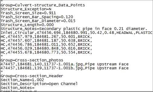
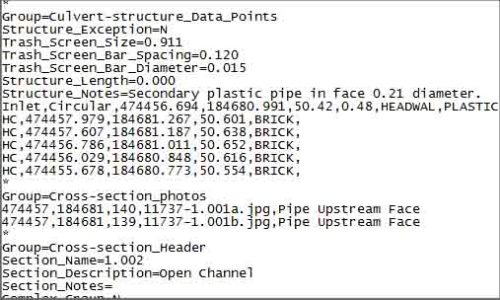
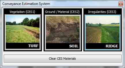
Storm Geomatics are supplying the data rich format EACSD v3.2. The format is now a required deliverable when conforming to The Environment Agency Specification for Surveying Services v3.2. The text format has been designed by the Environment Agency to enable river modellers to receive more detailed information about river channels and their structures within the river model data that they import into their systems from surveyors. Using the new river survey software – Storm GeoRiver, surveyors can now quickly supply the EACSD v3.2 format by enhancing their surveyed data using simple tools. In a nutshell, the hydraulic engineer used to get just the soft bed channel profile, now with EACSD v3.2 they get the same channel profile but with surface and bed types for every point, bridges, culverts, weirs, trash racks and photo links. Currently the only modelling package that accepts the data is ISIS. The development team at Storm are looking to create conversion options within Storm GeoRiver to make EACSD 3.2 compatible with other modelling software. Watch this space!
Other News
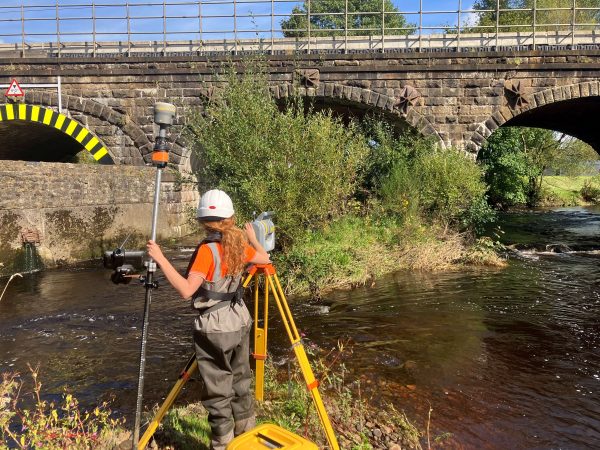
Pioneering River Digital Twin® Innovation and Optimal Survey Season Insights
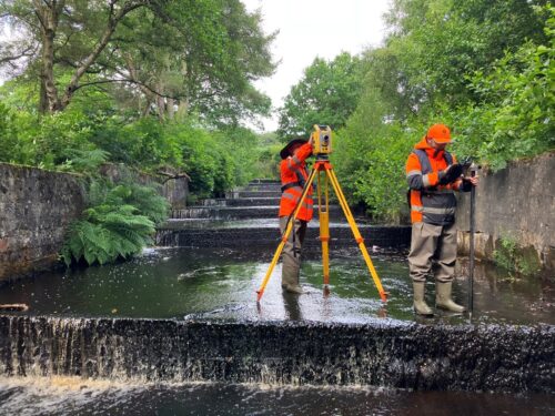
Inclement Weather Tests Storm’s Technology
