Surveying the River Bourn
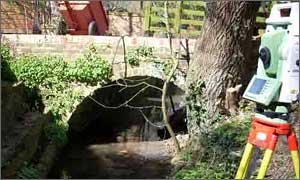
A survey of the River Bourn in Ashdon was carried out for a hydraulic engineering company. The survey included the data capture of forty cross sections and a number of threshold levels in the area. Flood plain levels were also captured and supplied in ISIS format with the channel data.
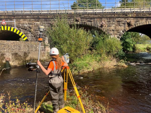
A check survey was carried out on a recently surveyed river in the Hartlepool area. These surveys are carried out to give the client confidence in the data they are working with, as more often than not, centimeters can make a big difference to flood forecasting. A schedule of checks were designed around the client’s budget.
More railway structures were surveyed this month as an extension to Storm’s existing contract. All the additional bridge surveys were large bridges and viaducts which Storm surveyed with their 300m range lasers.
Storm Geomatics sponsored a local team sports event early in July, and also sponsored an event which raised ?4000 for a local junior and infant school

Other News
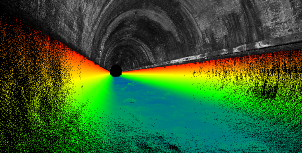
Pioneering River Digital Twin® Innovation and Optimal Survey Season Insights
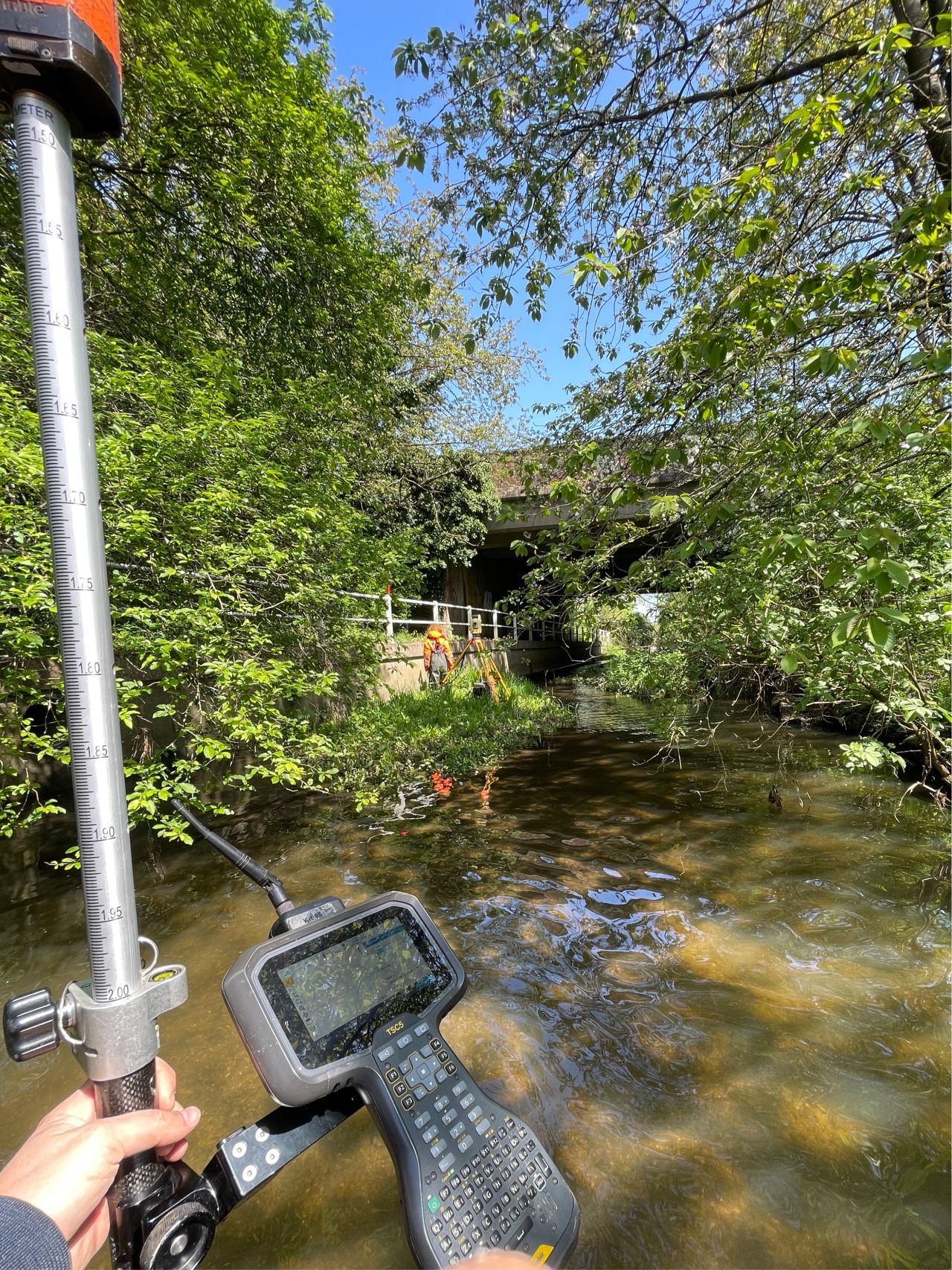
Dry Spring, Fresh Momentum – April Survey Highlights