Storm Geomatics returns to GeoBusiness
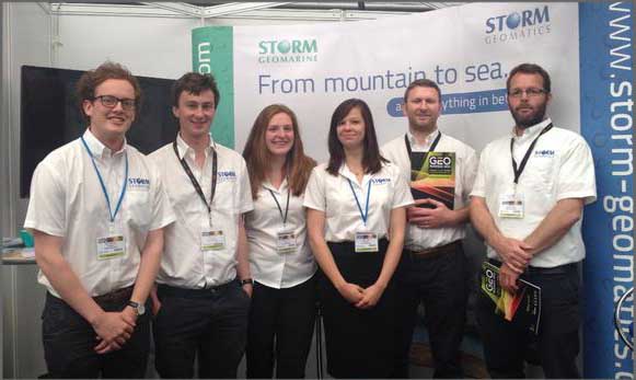
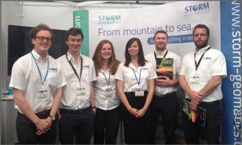
Storm Geomatics returned to GeoBusiness, a big show and conference for the Geomatics Industry, on 27th and 28th of May. Our Company exhibited at the venue and over the two days all of our river surveyors visited the show. GeoBusiness is a great opportunity to meet new people within the Geomatics Industry and see the latest innovative technology. We held workshops for our iPhone app, PhotoMAPP, which attracted an above average sized audience with a strong presence from the Ordnance Survey. PhotoMAPP was sent to all registered participants of the workshop for free and without doubt will be put to use straight away. To download PhotoMAPP and start using it yourself click here
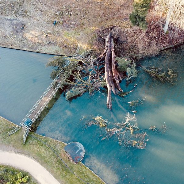
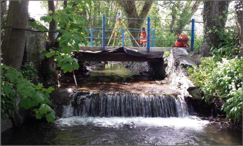
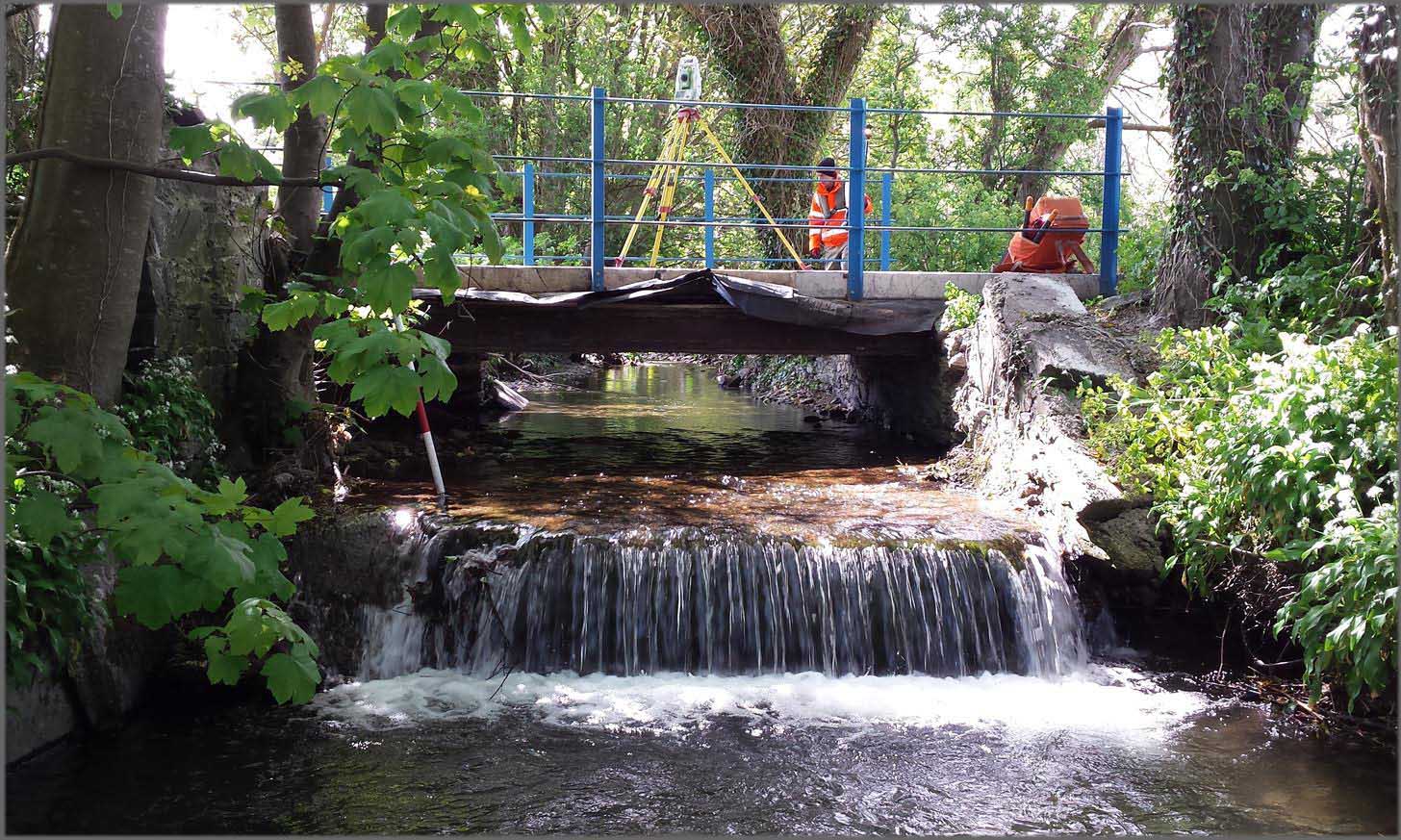
A team of surveyors went halfway across the Irish Sea to the Isle of Man to complete a survey for a flood risk assessment. The survey involved taking cross sections at specified locations along Ballaugh stream and surveying any structures which restrict the flow of the channel. Property threshold levels were also surveyed on properties near to the stream considered to be at risk of flooding. The data collected was used to identify the height in which the water would need to reach during flooding before entering the properties therefore ascertaining the risk in a given rainfall event. All very useful information when making planning decisions!
Other News
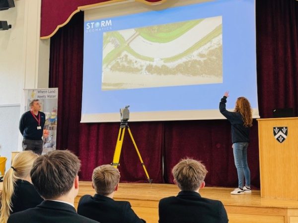
Future River Surveyors, How to Inspire Them…
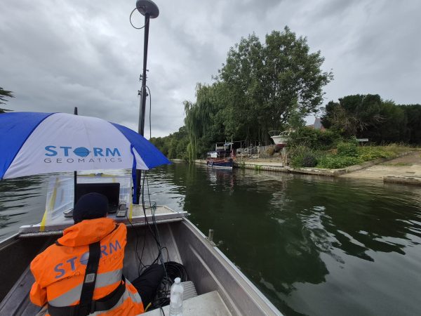
From Reservoirs to Riverbeds: July Survey Stories