River Calder in West Yorkshire
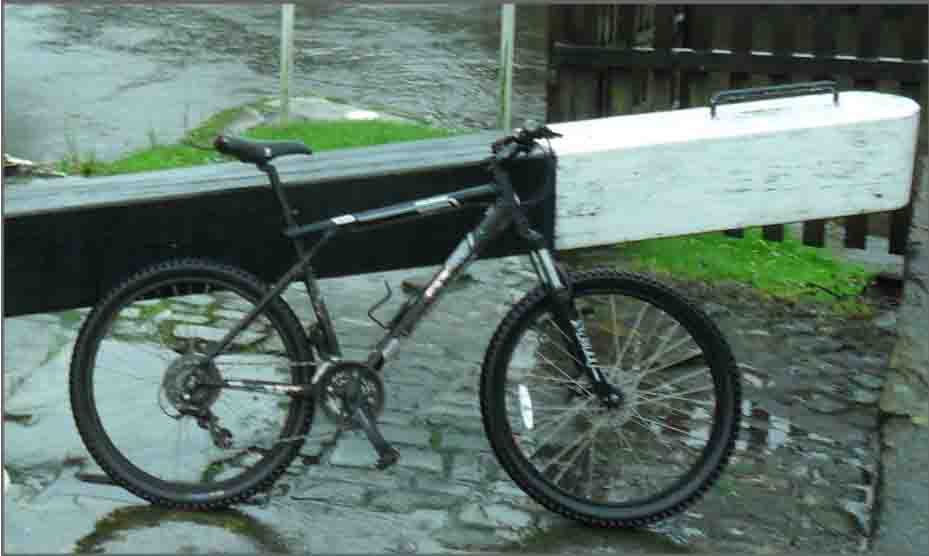
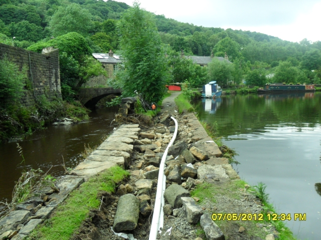
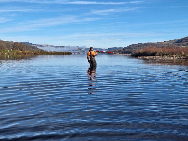
Some nasty floods around the River Calder in West Yorkshire this month gave rise to our surveyors getting on their bikes and doing some investigation into how the flooding occurred. The upper reaches of the river run through a steep valley alongside a canal, and in this event the canal overtopped into the Calder in places causing the river to flood. Our surveyors equipped with Network RTK GPS used the tow path of the canal to move along the valley on bicycles to identify low spots between the canal and river. The data will be used within the hydraulic model of the catchment to improve the integrity of the model results. The name Calder is thought to originate from the early British meaning violent waters or stream – our surveyors could see how it got its name from the damage they witnessed while carrying out the work.


Other News
Future River Surveyors, How to Inspire Them…
Storm Claudia vs Storm Geomatics: When Nature Tests