3D Model Of The Surface At Kirkgate In Wakefield

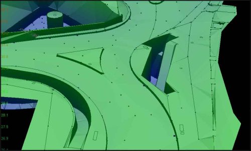
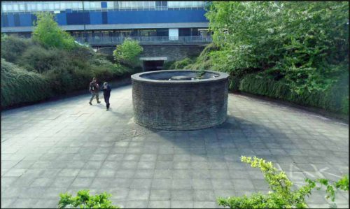
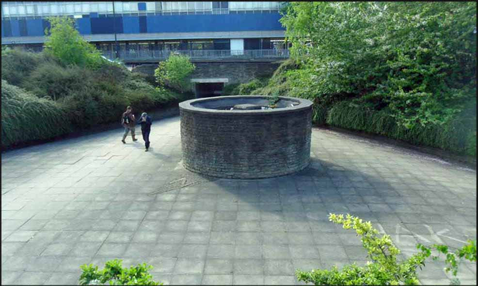
Storm Geomatics were appointed a project by a leading consulting engineer to create a detailed 3D model of the surface at Kirkgate in Wakefield. The 3D model is being used to assess the flood alleviation options in the area. Currently there is a small flood storage area in the centre of the roundabout which is also used as a subway. The 3D model was surveyed using hand picked points with a prism and total station to provide a highly accurate model. The 3D model included all drainage features and restrictions to flow such as kerbs and walls and will be used to create a surface water run-off model which will accurately highlight the conveyance of storm water across Kirkgate. Using the current surface water model, flood alleviation designs can be made and tested within a computer to ensure that flash flooding is managed thus avoiding damage to properties. The flood storage area for Kirkgate can be seen in the photo – the cylindrical structure in the middle collects water from adjacent drains and overflows into the storage basin. Try and avoid this area during heavy rain – apparently water shoots out of the structure like a fountain!
Other News
Surveying Through the Seasons
Storm Geomatics: A New Chapter Unfolds