How deep is that moat?
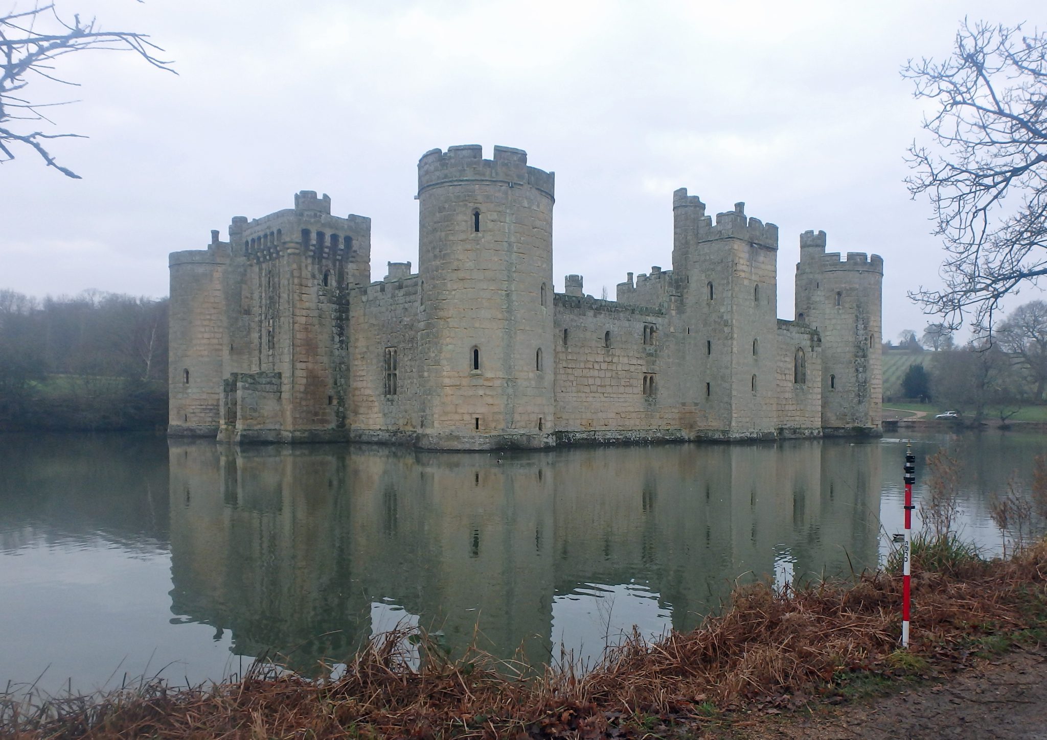
Mark McCafferty was tasked with surveying the moat around 14th-century Bodiam Castle, East Sussex in early January. It was built by a knight in 1385 called Edward Dalyngrigge to defend the area against French invasion. The castle has changed hands many times in 600 years and is now owned by the National Trust who open the attraction up to visitors for guided tours for three months a year. Mark created a 3D model of the moat to calculate the volume of water it can hold before it runs out over the spillway. If you had to make a calculated guess as to what the volume of the moat is, what would you say? If you email your guess to mike.hopkins@storm-geomatics.com you might win a prize – the winner will be announced in February’s news!
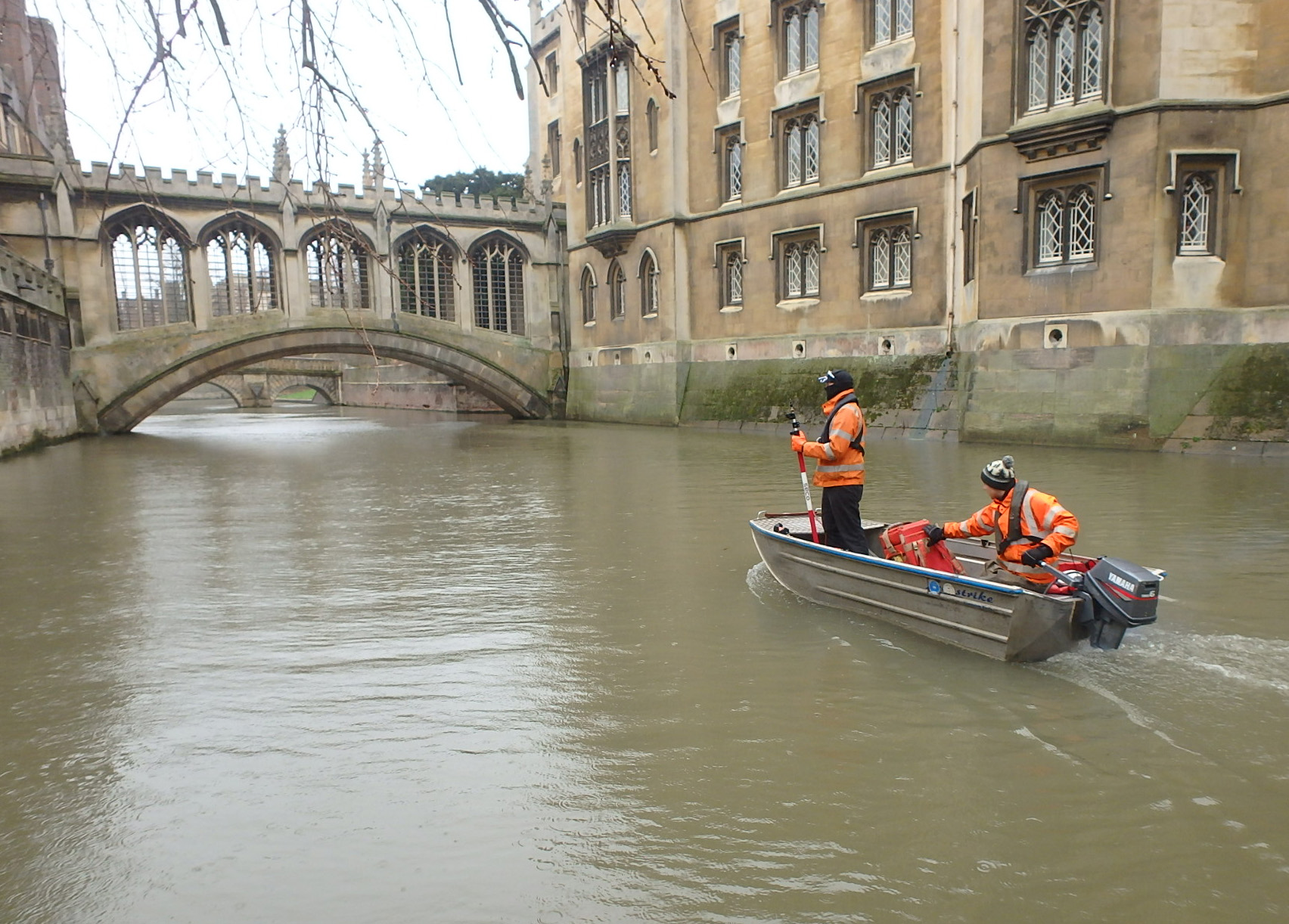
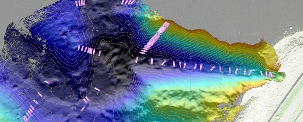
Surveyors also went to another historic place this month, the River Cam through the heart of Cambridge. Our surveyors produced elevations of the beautiful bridges through the college grounds and have created the river geometry for a hydraulic model so engineers can reduce flood risk in the area. Thankfully the surveyors didn’t find too much traffic on the river for January!

Other News
A Record Month Surveying Rivers
Positioning a Syphon Pipe in Winter? Tough Guy Surveyors get it done.
