News & Resources
Green Surveys
01.08.2015
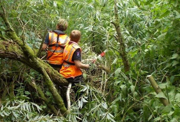
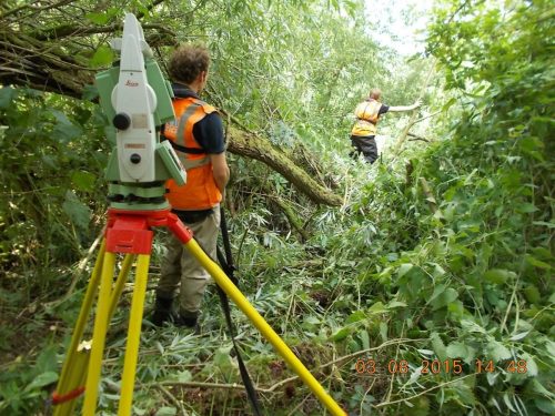
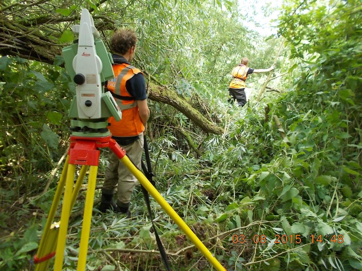
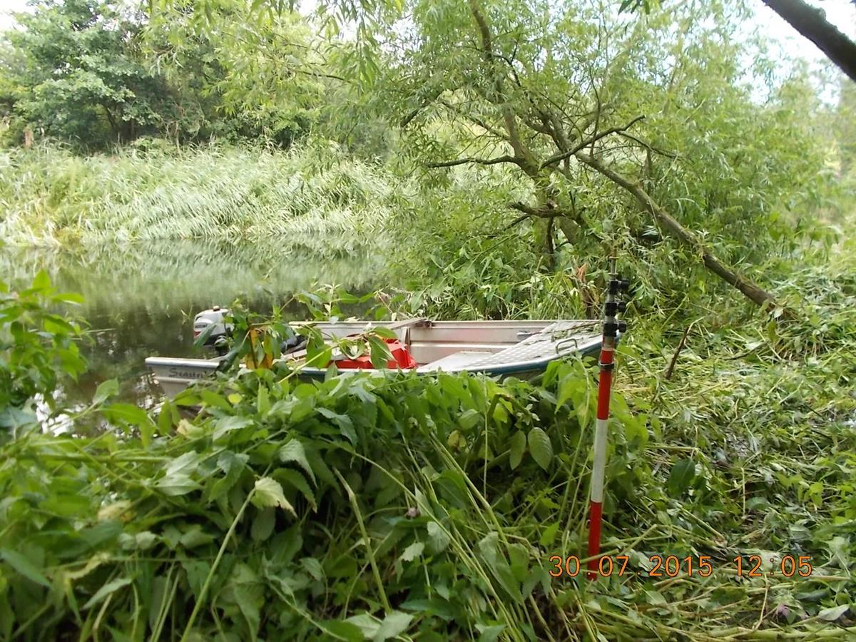
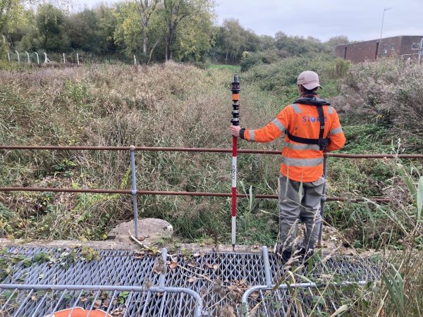
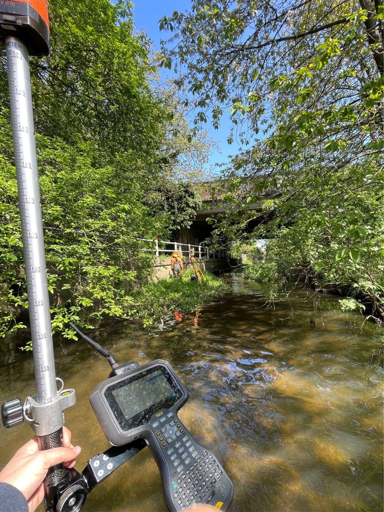
Our surveyors need to reach critical points on a river to physically measure levels that ultimately contribute to flood mapping[nbsp]which is used to protect people, livestock and property. Rivers are largely under managed and are often choked with reeds and flanked with scrub – access is nearly always an issue. Storm Geomatics want to raise the awareness for riparian owners as to[nbsp]what a river survey entails so that they understand that small areas of vegetation[nbsp]need to be trampled and cut to capture the shape of the river channel. Our surveyors are currently working with a consulting engineer on producing a leaflet describing what to expect if a river survey team pass through your riparian ownership.

Other News
Surveying Through the Seasons
A channel cross-section job in Liswerry, Newport. The geospatial data collected will assist in updating the existing Liswerry...
Dry Spring, Fresh Momentum – April Survey Highlights
From trout habitat restoration to major asset regeneration, Storm Geomatics moves ahead with AMP8-ready precision. April’s dry weather and...
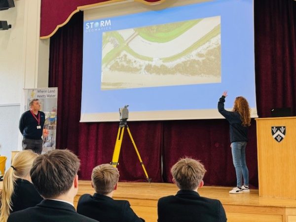
Future River Surveyors, How to Inspire Them…
Storm Geomatics inspire the next generation of River Surveyors at various careers events throughout 2024.