Gas Holder Survey
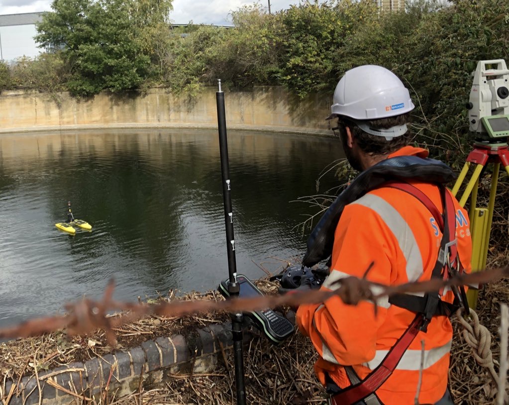
Storm Geomatics was approached to undertake a bathymetric survey of a disused Gas Holder situated close to the Olympic park in Stratford. The gas holder vessel is thought to have been removed in the 1970’s leaving a concrete cavity which has now filled with water. The structure has a diameter of approximately 50m and a depth from the rim to the hard bed of 10m.
To compound matters, the complete circumference of the Gas holder is enclosed in dense vegetation, therefore the option of craning a boat into the holder was a no go.[nbsp] The challenge was therefore to provide a cost-effective solution that would enable a survey of the Gas Holder floor; water and silt samples to be taken and but negating the requirement for a surveyor to enter the Gas Holder.
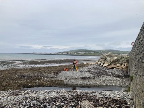
Fortunately, Storm Geomatics has extensive experience in this area and having looked at various options to satisfy the clients requirements, it became apparent that a remotely operated survey vessel using a single beam sonar (Sonarmite) would provide the best solution.[nbsp] With a prism mounted on this vessel the surveyor can track its position safely from the bank (to within a few mm’s) using highly accurate survey equipment (Total Station).
The HyDrone survey vessel was chosen due to its small size and weight and would be driven around remotely, collecting water depths at 1m intervals using the mounted single beam sonar.[nbsp] This will produce a highly accurate plan of the gas holder floor accurate to around 50mm.[nbsp] The bed of the gas holder can then be contoured and a 3D plan to be produced all without the need of a surveyor to be on the boat.
To assist in the deployment of the boat, Storms R[&]D department constructed a lightweight crane with an extendable arm to safely allow the surveyors to lower and raise the boat into/out of the water without the need of a surveyor to lean over the edge.[nbsp] The result was that the boat could be safely deployed in a couple of minutes without risking a potential slip or fall into the gas holder.[nbsp] In addition, fall restraint harnesses and life jackets were worn by all surveyors working within 3m of the edge and all surveyors had completed the RYA water safety training course.[nbsp] Nothing was taken to chance as the safety of our surveyors is our number 1 priority (Safety First – data later).
Both water and Silt samples could then be collected at the edge of the holder (at 2 different locations) using The VanWalt Multisampler.[nbsp] This sampler allows samples to be taken different depths thus giving give the client a better representative of the properties of the water and silt.
Since the data collected from the HyDrone survey vessel passed seamlessly into our workflow, the office processing was just as efficient, allowing the final deliverables to be supplied as a 3D CAD drawing within a matter of hours.
It is safe to say that the client was pleased.[nbsp] For what was a relatively short survey, meticulous planning and preparation had facilitated a very successful survey.

Other News
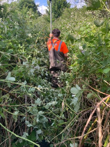
Mid Summer Brings Surveying Challenges
Mid-summer can be a challenging time for Storm’s surveying teams as vegetation reaches it’s peak.
What was the “buzz” at Geobusiness 2023
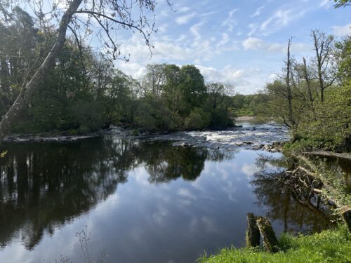
A Commitment to the Riverine Environment
During May survey teams from Storm Geomatics began an extensive project for the Isle of Man Government to assist...