Storm closes barriers
[nbsp]
E.A. close barriers for surveying
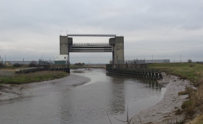
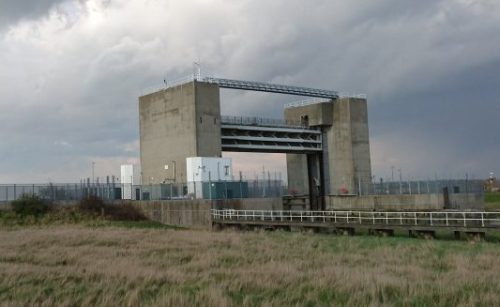
This month Storm mobilised two survey teams to survey the River Darent in Kent.[nbsp] The Darent is a tributary of the River Thames and in Roman times Dartford (Darent Ford) was a river crossing on the road that linked London to the Kent coast.[nbsp] North of Dartford the Darent is tidal and just before entering the Thames receives the waters of the River Cray at Dartford [&] Crayford Marshes, where the rivers form a boundary between Greater London and Kent.[nbsp]
In order to survey the tidal area safely, the closing of the barrier was organised through the very helpful Environment Agency staff. [nbsp]This turned a tidal torrent and deep exposed mud into a canal; for the day! [nbsp]Teamed up with Storm’s water safety partners the surveyors captured the 36 cross sections through the tidal reaches of the Darent and Cray in one day. [nbsp]Bank levels were extrapolated from 0.5m resolution lidar to complete each cross section. [nbsp]The resulting model of the river is to be used for a flood risk assessment project.
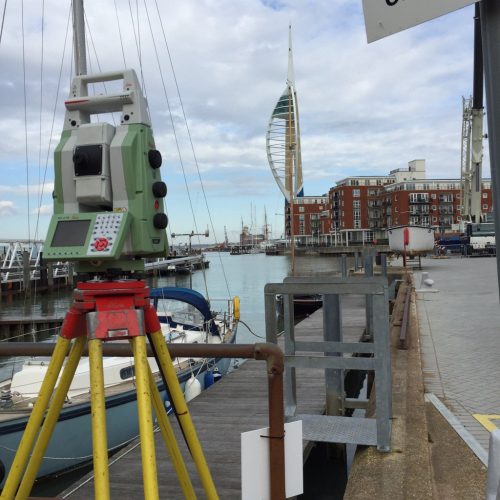
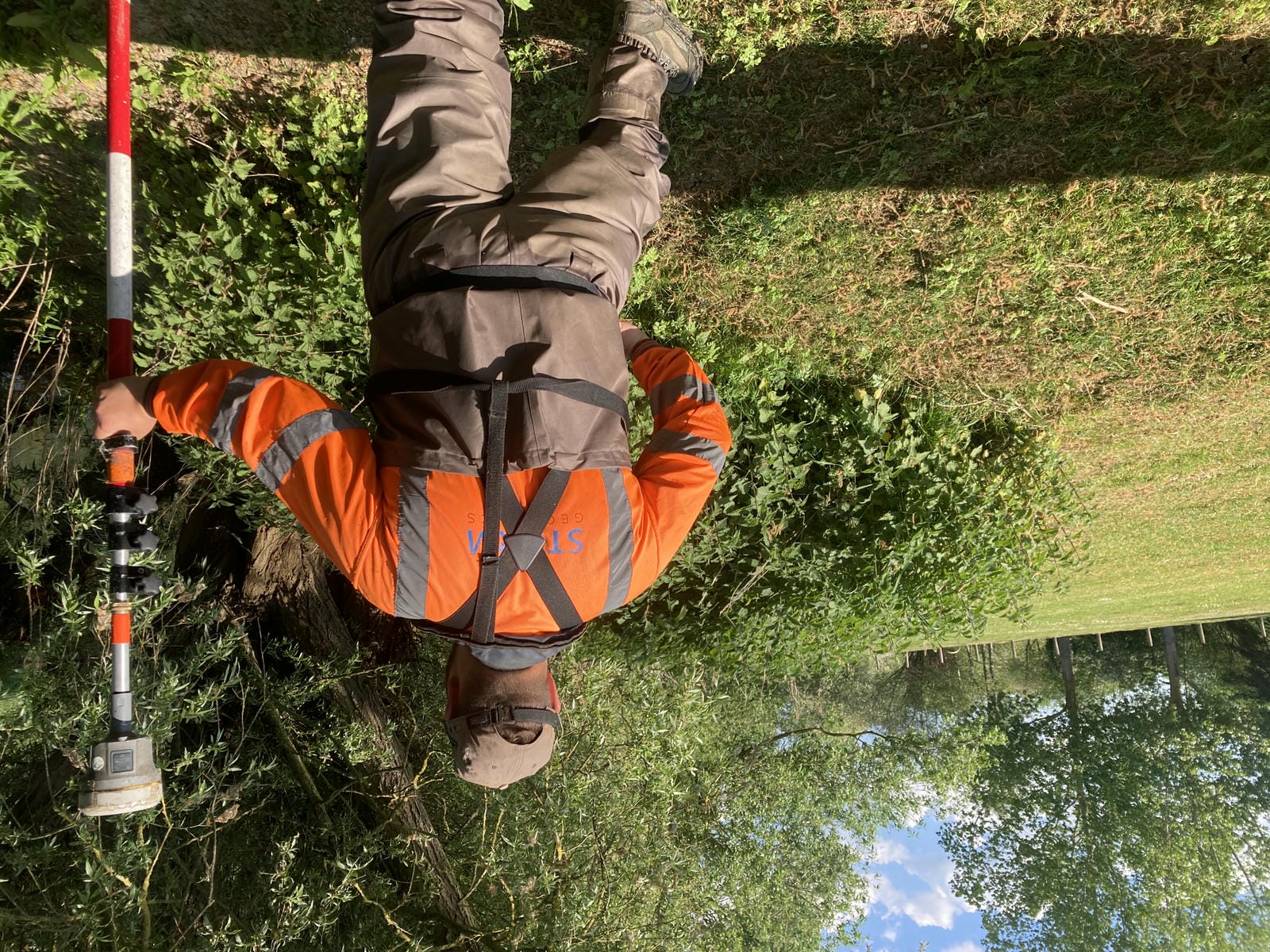
Across the other side of the country in the South West of England another survey team were working on some coastal defence projects at Ilfracombe, Plymouth and Portsmouth. [nbsp]Beach cross sections and profiles were planned around the tides to enable access to the required survey areas. [nbsp]The weather in February for this project saw temperatures more akin to April making the survey work easier to complete and giving the surveyors a hint of that “Holiday feeling”. [nbsp]Some impressive monuments and statues were noted in the area including ‘The Virgin Mother’ in Ilfracombe and Smeaton’s Tower in Plymouth which the latter will undoubtedly have been used for a reference object for many surveyors in the past.
[nbsp]
Other News
Data to Decisions – Storm’s May Update
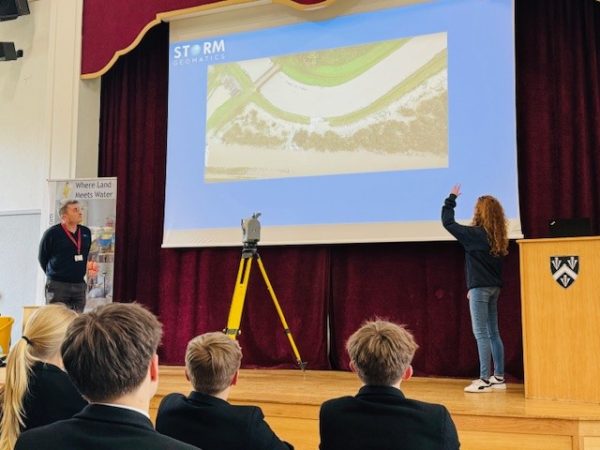
Future River Surveyors, How to Inspire Them…